Conway Peak
November 20, 2015
1996m
Chilliwack, BC
The idea of making an ascent of Conway Peak in November between Vlad and myself was brought up a month or so ago during our Vicuna/Guanaco trip. Luckily for us, a rare high pressure system was forming up towards the end of last week and at the same time, Vlad managed to take Friday off so we were game. Speaking our objective, this peak on the “tail end” of Cheam Range is easily the least sought-after objective in this famous group and shares an entirely different approach than the rest. While the other Cheam Range objectives are all accessed from Chilliwack Valley, this one is approached from the north side via the Jones Lake and Lucky 4 Mine forestry road system.

Conway Peak ascent route. GPX DL
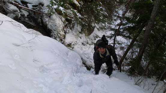
The 13-km Jones Lake FSR that brings hikers from the bottom of Fraser Valley to an elevation of 650 m at Jones Lake (aka. Wahleach Lake) was supposed to be a high-clearance 2WD road but the condition was a bit rougher than expected. First of all there were pot holes everywhere anywhere and secondly there were deadfalls all over the place due to the recent storms. Thankfully this area is still under active logging so crews from forestry company were clearing the mess, but they only got to about halfway down the lake. After that it was horrendous and I was shocked by how powerful a wind storms can be… We parked about 1.8 km short of the end so that meant about 4 km one-way of extra distance, and hopping over those deadfalls surely provided some interesting warm-up. The Lucky 4 Mine Road also had dead falls but as soon as we entered the thicker forest the condition improved dramatically.

What a mess…

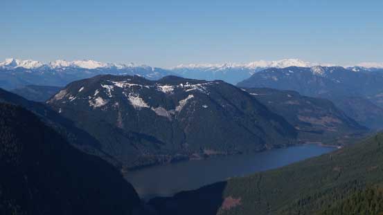
Jones Lake is beautiful in the morning light

Lady Peak looks very different from this angle
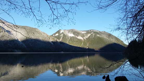
Another view of Jones Lake with part of Four Brothers behind
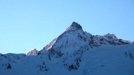
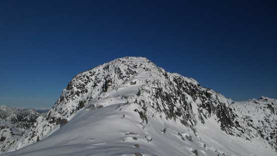
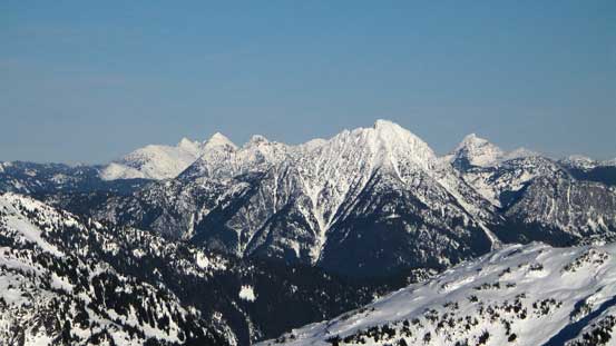
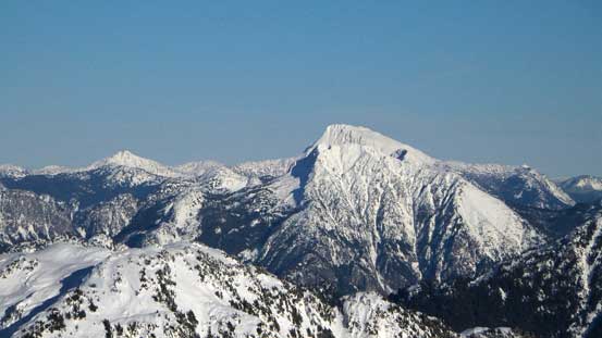
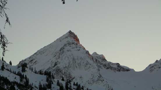
Conway Peak – our objective
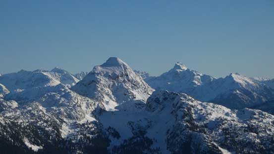
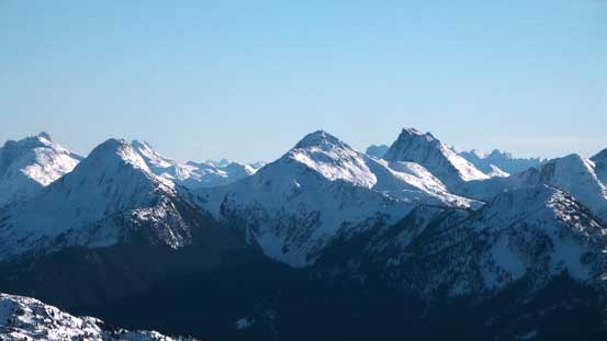
Foley Peak is one of the many giants in Cheam Range
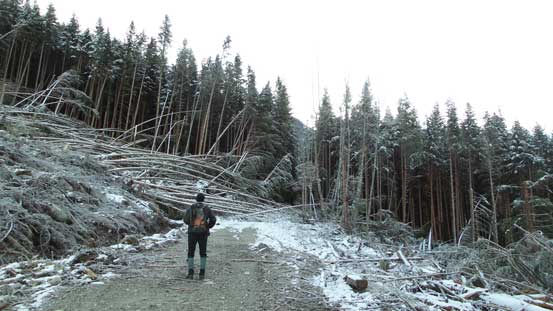
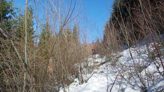
Hiking up the Lucky 4 Mine Road. Note the deadfalls ahead
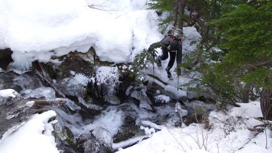
There’s a thin layer of dusting snow at this elevation and as we gained elevation the snow depth increased. Here we faced a second challenge. Usually once the snow is deep enough I’ll simply strap my snowshoes on, but this logging road was so bushy and overgrown that snowshoeing was non-practical without a huge snowpack. There were also dry spots and places where creeks were flowing on the road so I couldn’t keep the ‘shoes on for long. Solution? Let’s post-hole on foot… A few long switchbacks later we were at the end of Lucky 4 Mine Road and correctly picked the Lucky 4 Mine Trail. Flags and markers helped us staying on the trail but still, there were many confusing places including some steep traverses and open avalanche paths. At least 5 major creek crossings provided fresh challenges thank to the layer of verglass making slippery foot placements and they all required some sort of detour to get across.
Up the Lucky 4 Mine Road

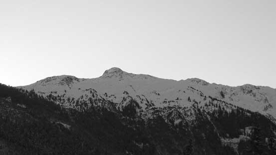
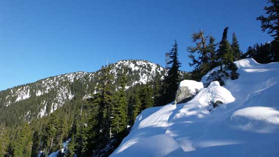
Stewart Peak

Looking down at part of Jones Lake and Four Brothers
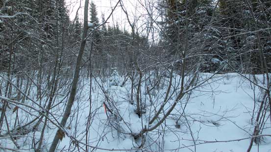
The road is very bushy at places

Onto the trail now
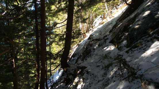
This section was exposed and slippery…
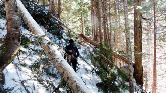
Still have deadfalls to negotiate…

And, alders…
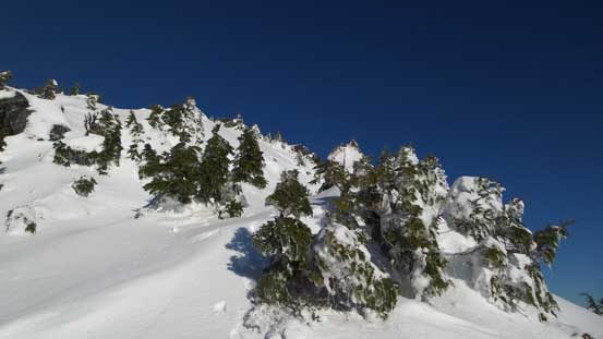
Finally the terrain opened up a bit…
Eventually after what seemed like eternity the snowpack finally got thick enough to at least cover the ground unevenness so we strapped the ‘shoes on. But it didn’t help too much initially (still have at least 1 or 2 creek crossings along with the traversing terrain which created twisting forces on our ankles), but at least the post-holing condition was improving. Except for some weak spots around young trees or boulders we generally didn’t have to sink too much. Well, I found it to be fine as I was using my 30′ Lighting Ascents but Vlad was having some trouble post-holing on top of my tracks discovering deep holes that I just floated over (he only had 22’ shoes). Thankfully that didn’t last too long. Some steep terrain later we were near treeline and the snowpack had gradually transitioned to “too icy”…
Snowshoes on now.
Another picture of Jones Lake
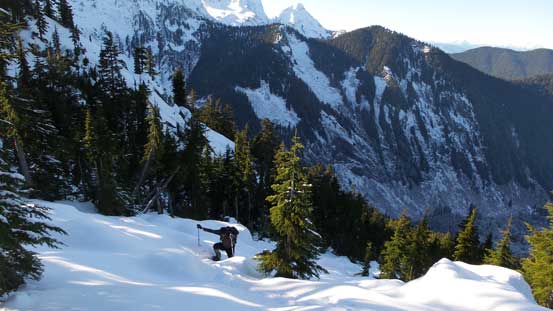
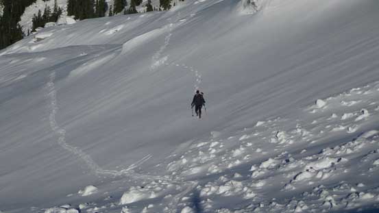
Vlad coming up the typical terrain

The first steep section
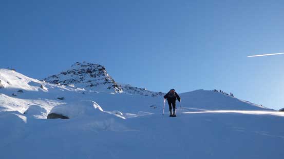
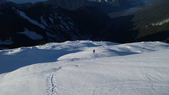
Into the alpine. Our objective ahead

This is part of Conway Peak’s north ridge
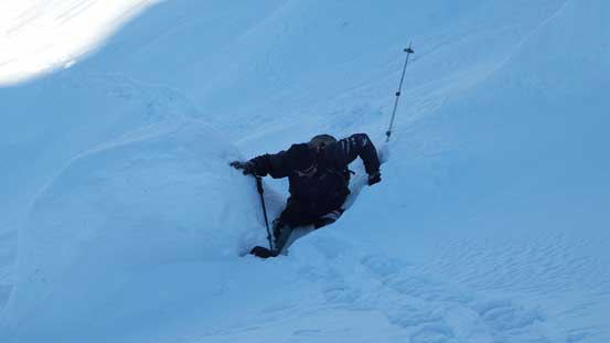
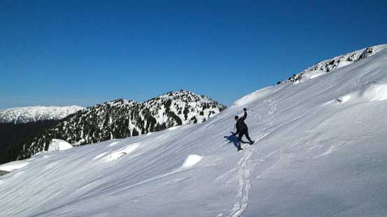
Vlad fell into a hole while following my track…
Leading towards the base of Conway Peak there’s another steep roll (probably 35 degrees) and it’s becoming so icy that my snowshoes were barely leaving any mark on the surface. They were still biting fine as I had the Lightning Ascents but Vlad had to switch gears to crampons. After this roll we had to do a horizontal traverse over to the climber’s right (aiming towards the broad pass between Conway and Foley Peaks) before attacking Conway Peak from its right hand side ridge. This horizontal traverse, although not steep, was still icy so that we both slipped a few times on the ‘shoes. Vlad had to switch to crampons again and that continued for the rest of the ascent. I managed to keep my snowshoes halfway up the broad summit ridge. The next rise looked steep so I switched gears too.

Here’s that icy slope. Vlad’s switching gears now
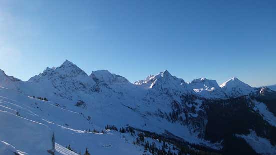
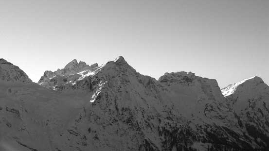
Starting to get a panorama view of Cheam Range

The summit block of Conway Peak
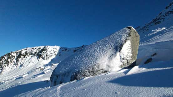
One of the boulders here, coated by a layer of rime

Traversing towards the sun

Another boulder
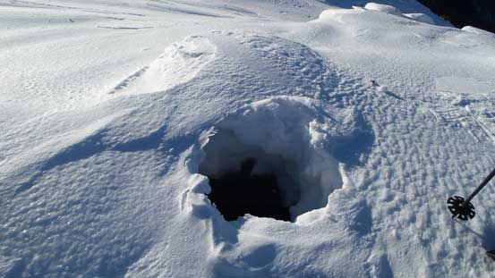
Discovering a hole thank to the partially covered boulders….
Slipping on the icy snow…
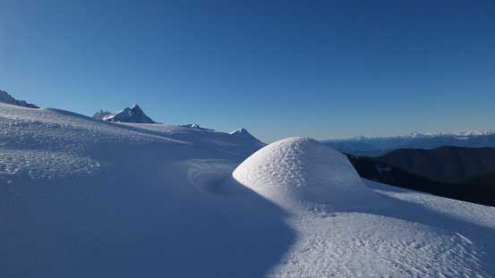
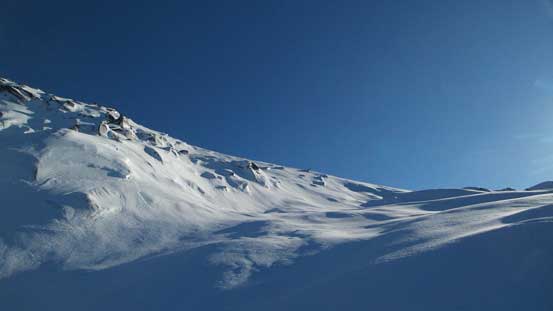
Neat snow formation
Almost time to switch to crampons again

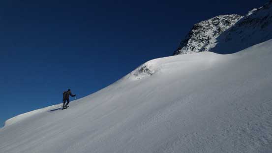
The typical side-hilling traverse
Aiming for the broad col
Vlad on crampons now
Ascending towards the Foley/Conway Pass

Cresting the col now, looking at the other side
Williams Peak with Mt. Redoubt behind

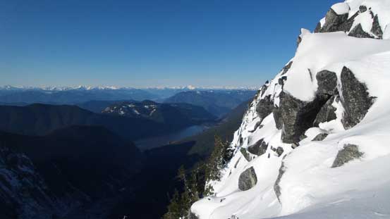
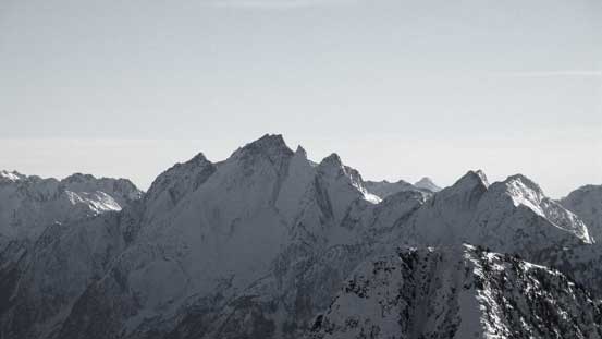
Another panorama view of Cheam Range
The final ascent to the summit wasn’t as steep as appeared from afar. Vlad led the way up and soon we both made to the top. It was later than expected but the views were incredible with the entire Cheam Range peaks stealing the show. In winter times they all looked like giants.
The summit push

Looking over the SE Ridge
It’s a bit steep…
The last bit

Partial summit panorama from Conway Peak. Click to view large size.

Partial summit panorama from Conway Peak. Click to view large size.

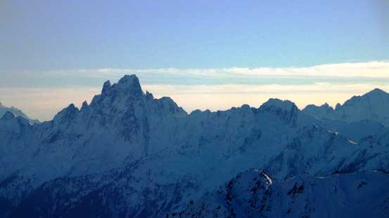
Welch Peak is the highest in Cheam Range
Stewart Peak with Baby Munday Peak behind
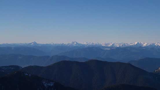
Peaks north of Fraser Valley including Robie Reid, Judge Howay and Clarke on the skyline
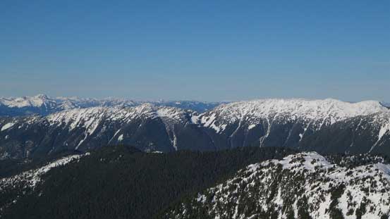
Some open ridges to the north

Mt. Judge Howay with some snowy giants behind

Mt. Clarke west of Harrison lake
The Old Settlers – apparently has a very very bushy approach now.
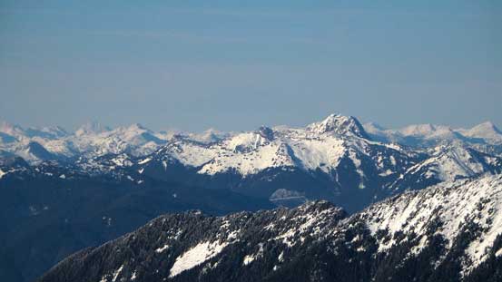
Peaks by Coquihalla Pass are visible

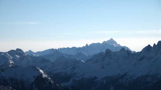
Isolillock Peak is the big one. Silver Peak just to its right

Mt. Ling in the foreground
Mt. Grant by Skagit Valley
Mt. Outram is the highest peak by Manning Park
Silvertip Mountain is another giant by Skagit Valley
Mt. Spickard just south of the border in the North Cascades

Hozomeen Mountain is that double-summit peak on the right skyline
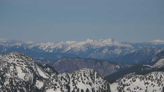
Mt. Webb, MacDonald Peak and Mt. Lindeman group
Mt. Rexford
Slesse Mountain – its easiest route goes at 5.6…
Mt. Shuksan – one of the prettiest in Washington
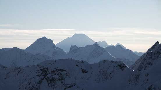
The volcano Mt. Baker with American and Canadian Border Peaks in front
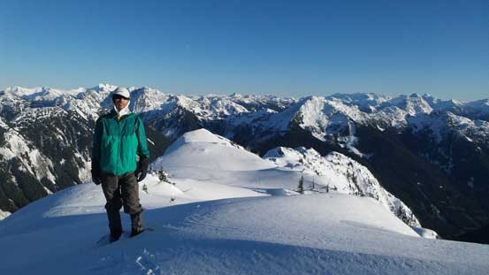
Me on the summit of Conway Peak
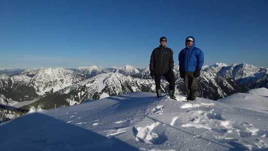
Vlad and I on the summit
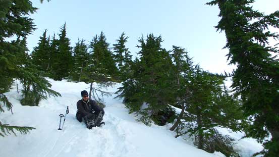
On the descent we all used crampons for as much as we could until we started to punch through the hard crust layer (knee+ deep post-holing). The snowshoes were awkward on this type of conditions for anything but ascending straight-up, so they didn’t help too much neither. Glissading was a fine method for a while, and sometimes wearing snowshoes to down-climb facing inwards worked fine too. For the most parts we just had to be careful descending step by step (not wanting to suddenly punch through and do a face plant on 30+ degree slopes)… Eventually we made back to the trail and following it back was faster than expected. The creek crossings didn’t feel nearly as tricky as on the way up probably because we didn’t have to do route-finding now. The final logging road walk was done in dark and felt super tedious (of course)… And of course, we had to hop over those logs…

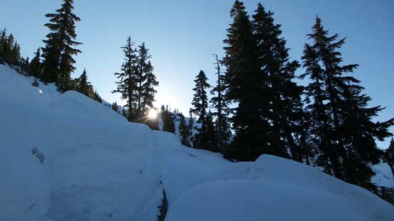
Sun is getting low now

Time to head down

Starting to see some colours on the horizon

Cheam Peak

Down, down..
Snowshoes back on
One of the creek crossings
Another creek crossing
One last look at Foley Peak

Back to the bushy road

Dusk
The driving back was uneventful and it wasn’t too late given how much trouble we had during the day. And although we had some horrible travelling conditions this was a very memorable trip up a nice objective. It’s the classic “Type II” fun.. And the weather was still looking good for the weekend so the next trip was surely in the order…
