Bootjack Mountain
October 6, 2019
2069m
Leavenworth / Icicle River Road, WA
The first weekend of October saw some decent weather in Washington state but the recent dump of snow had ruled out “difficult” objectives. I figured it might be a good weekend to drive a little bit farther to see the golden larches. I checked with my Seattle friends and sure enough, Selena and Brenda were also eager to get out. I let them to figure out an objective because I’m not very familiar with the south-east areas. We spent a couple days hesitating but we had to come up with a decision eventually. Selena threw out the idea of “Bootjack area”. I had never heard of it so did my research, and immediately I thought she made a great pick. The plan was then to traverse Bootjack Mtn. and Highchair Mtn. and either by making a loop or returning the same way. These two peaks are nowhere major from any perspective, but definitely would offer neat views in this so-called shoulder season.
On Saturday night I drove down south at 10 pm and slept in my truck somewhere in the vicinity of Seattle along US-2, and the next morning Brenda and Selena showed up at 5:45 am and picked me up. Two hours later we drove up and over Stevens Pass past the small town of Leavenworth and onto Icicle River Road. The trail-head was pretty much at the end of the road which was still over half an hour away. I checked the map and we were literally halfway between Leavenworth and Stevens Pass so this is quite a remote place in the middle of everything.

Bootjack to Highchair traverse. GPX DL
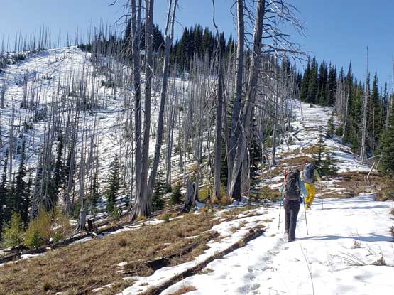
The officially-maintained Bookjack Ridge Trail goes pretty much all the way to the summit of Bootjack Mountain. The start of the trail had a couple confusing junctions but with GPS tracks downloaded from peakbagger.com navigation wasn’t an issue. The ascent through mature forest was a steep for almost a thousand vertical meters. The grade was perfect though – not too steep and not too mellow neither. We made a steady progress and didn’t come to a rest until the first viewpoint near treeline. We had encountered fresh snow since a couple hundred meters lower down but once getting out of the woods the snow depth increased dramatically. Selena and I had hauled mountaineering boots up, so it’s time to made the footwear switch. We opted to ditch the trail shoes at this spot and that further meant we must return the same way. This was good because I wasn’t particularly keen to descend the loop option..

Brenda taking a break at treeline after a long and boring grunt

Selena and Brenda hiking the first real patch of snow…
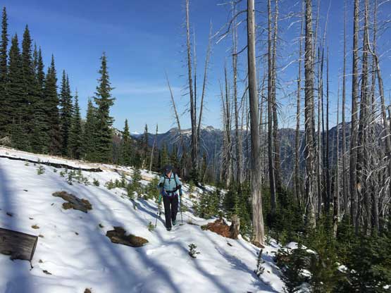
There was some post-holing at sections but generally speaking the trail-breaking wasn’t much of a problem. The snow was crusty but we didn’t need to don traction device. At one point after traversing to a north-east orienting ridge we had to leave the main trail to pick up what seemed like an unofficial trail that ascended onto the north ridge. The upper section had some bushy and scrambling steps but the trail was generally easy to follow. The last 10 meters had a few 3rd class moves covered in fresh snow, but immediately after that we were on the summit. The view was much better than our anticipation and we lingered for at least half an hour to soak them in.
Me and Selena hiking on the typical ridge. Photo by Brenda G.
Encountering some continuous snow with minor trail-breaking
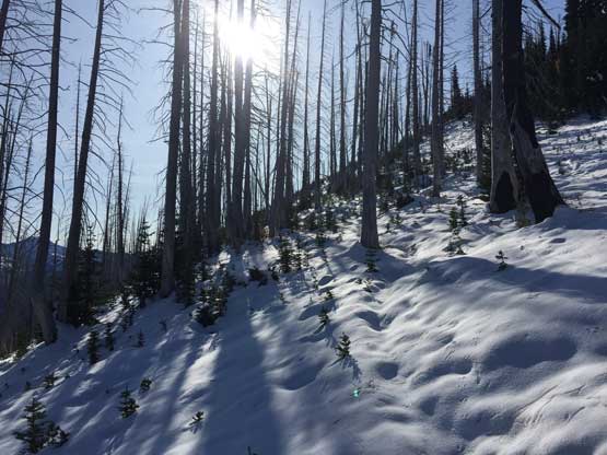
October sun and virgin snow..

The view starts to open up. This is looking north

The summit ahead with the north ridge on the skyline
Looking back towards Snowgrass Mtn. and Grindstone Mtn.

Selena hiking into a depression zone along the north ridge

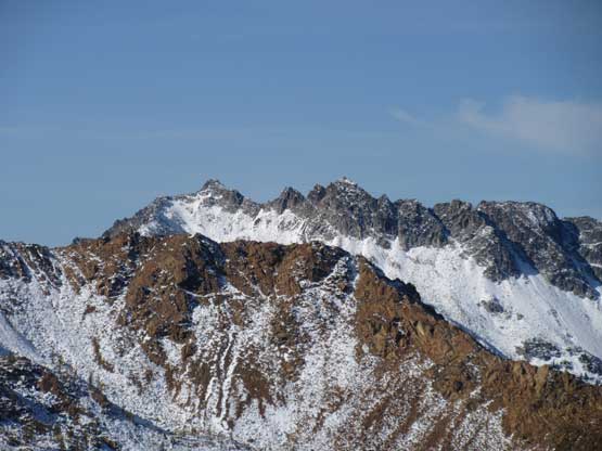
Cashmere Mtn. on the skyline

Selena and Brenda on the last few meters to the summit

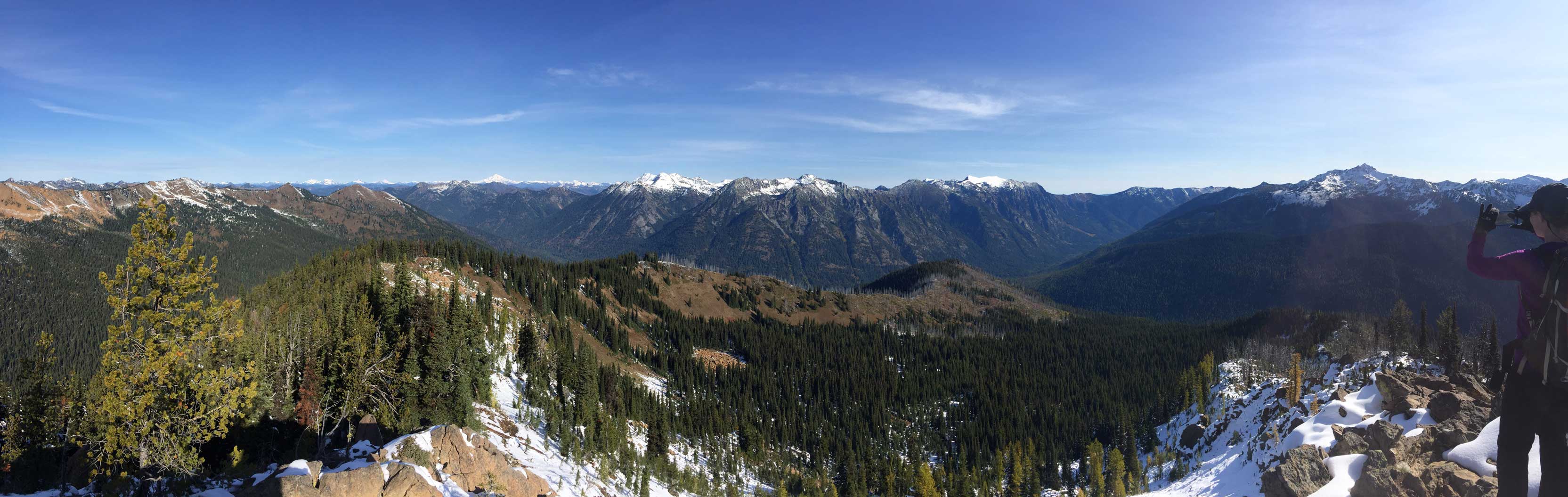
Partial Summit Panorama from Bootjack Mountain. Click to view large size.
Partial Summit Panorama from Bootjack Mountain. Click to view large size.
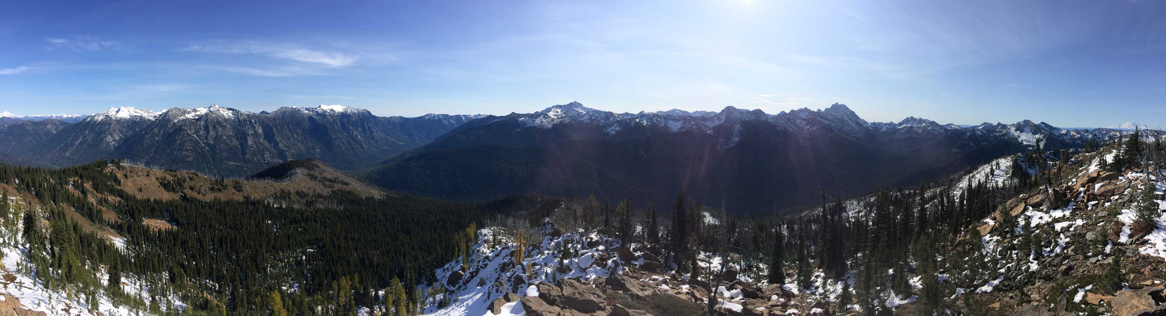
Partial Summit Panorama from Bootjack Mountain. Click to view large size.

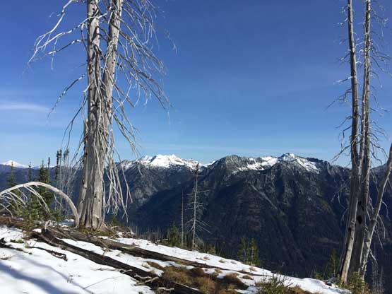
This is looking back down Icicle Creek valley

The upper Icicle Creek valley towards Frosty Pass area. Glacier Peak on the skyline

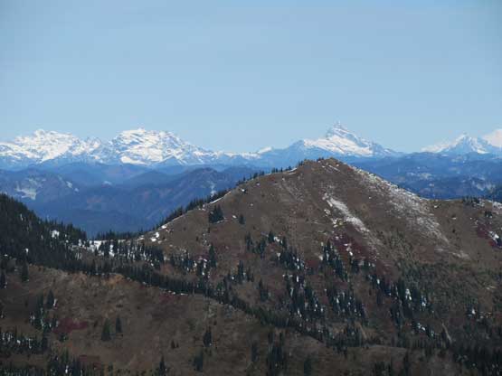
Highchair Mountain in the foreground, our next objective

The north face of Harding Mtn. to the south
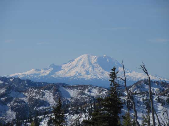
Mt. Rainier showed up on the horizon
The Cradle pokes behind Highchair Mountain

Mt. Daniel also showed up
Monte Cristo Group and Sloan Peak on the horizon

Glacier Peak

Big Chiwaukum and Snowgrass Mtn.

Grindstone Mountain
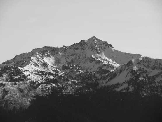
Cashmere Mountain
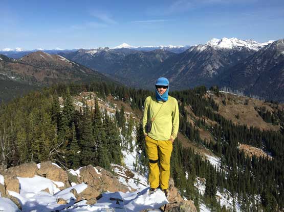
Me on the summit of Bootjack Mountain
From the summit we could see that our next objective, Highchair Mountain wasn’t very far away, but we estimated that about 2 hours of work each way was still required. Speaking Bootjack Mtn. I would definitely recommend this hike. The hike in the forest was a steep and boring grunt, but the view-to-effort ratio is pretty high overall.
