Amabilis Mountain
February 23, 2023
1390m
Snoqualmie Pass, WA
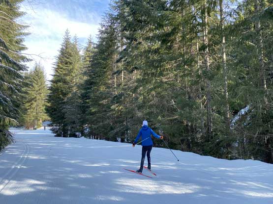
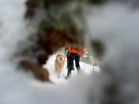
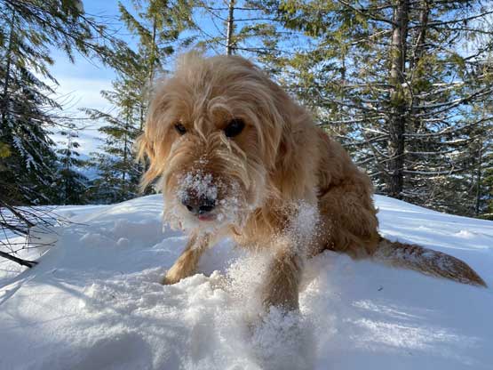
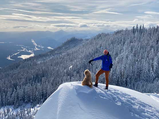
Amabilis Mountain on the east side of Snoqualmie Pass boasts over 600 m (2000 feet) prominence and for the sake of this reason peak-baggers from all over the continent had come to claim this summit. The ascent is however, no-brainer with very minimal effort. In summer months one can drive to near the summit whereas in winter the same FSR system becomes a groomed cross-country ski trails. This place thankfully isn’t a privately owned ski resort so snowshoes, dogs and even fatbikes are allowed on the ski trails on Amabilis Mountain so most local peak-baggers actually chose to do this peak in winter. I’m no exception on that.
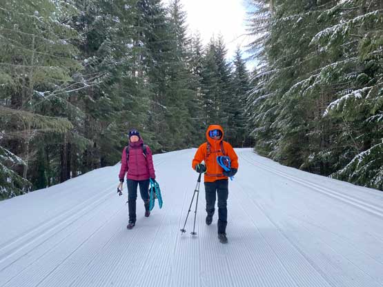
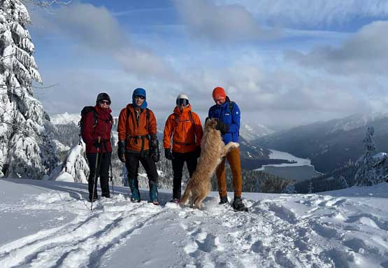
Except for the brutally cold winds the weather on Thursday was quite decent so Matt proposed to knock off another Washington P600m objective but as usual, Matt wouldn’t car-camp and I needed to be back home in the afternoon for work. Our choices were limited but we eventually made an agreement on Amabilis Mtn. leaving Blaine at 5 am. Raphael and Mackenzie joined the team at the last minute. The new plan was for the four of us to meet at the trail-head (Cabin Creek Sno-Park) at 7:15 am in three separate vehicles as all of us had different plans afterwards. I chose to carpool with Matt from Blaine as I’m the only person here with NEXUS card and I didn’t want to take a chance on the border traffics in the afternoon. The border did not turn out to be a problem in retrospect, but I always plan for the worst case scenario as I absolutely wouldn’t want to be late for Thursday’s work.
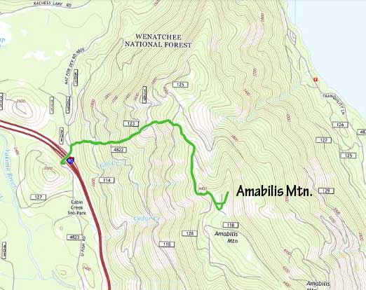
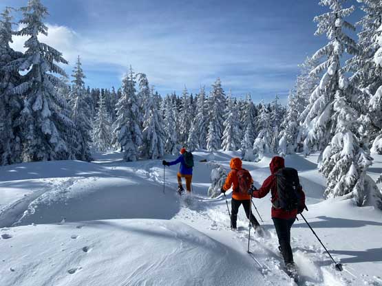
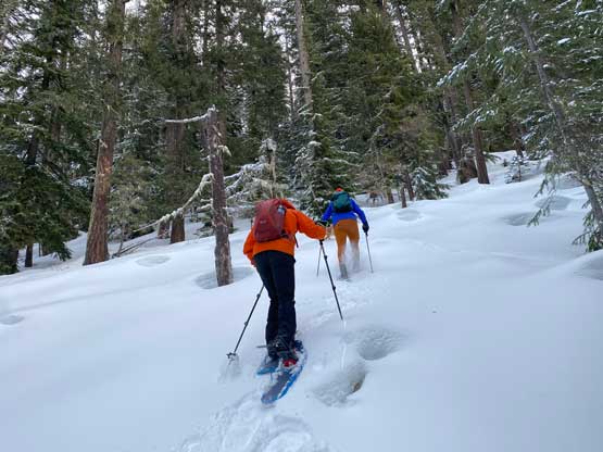
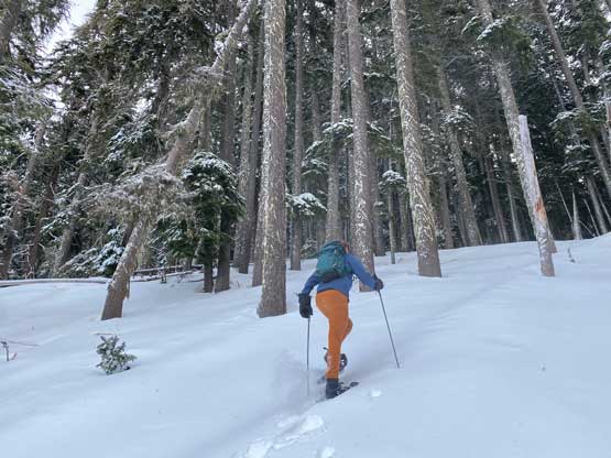
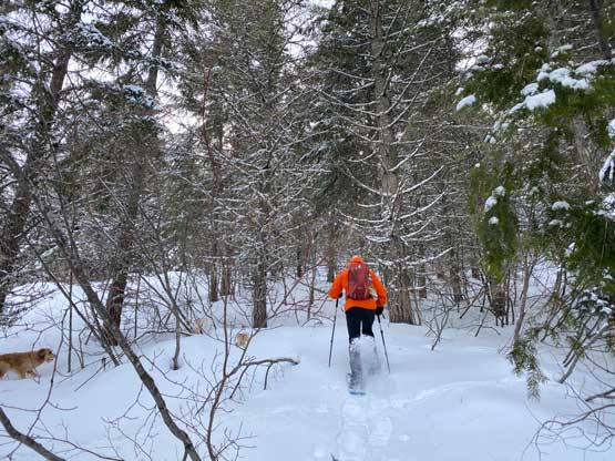
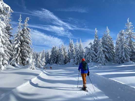
Matt had laid out a snowshoe-specific route to ignore the cross-country ski trails system or the so-called “standard route”. I don’t think this was entirely necessary but Matt likes to do things in his own way. I was initially in doubt (as always), but after seeing how fat the snow coverage was I was instantly sold. There was enough snow to completely cover most, if not all of the underbrush right from the bottom. We carried the snowshoes over the highway’s overpass and only walked 200 horizontal meters on the ski runs before bailing into the bushes. We would then ascend straight up the forested slope to the highest spur road, ignoring all of the switchbacks in between. There were very minimal bushwhacking involved. The slope wasn’t even that steep and the snow condition was also fairly prime for snowshoeing. The forest also served as a shelter from the winds so it all worked out perfectly.


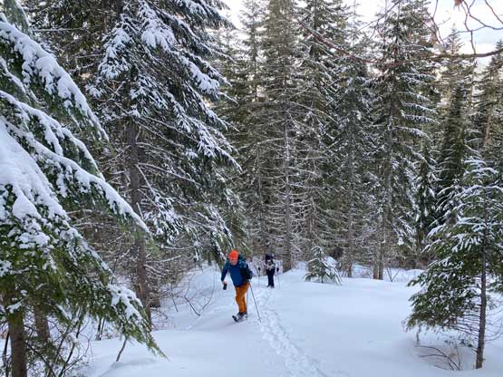
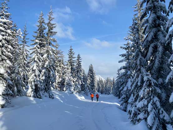
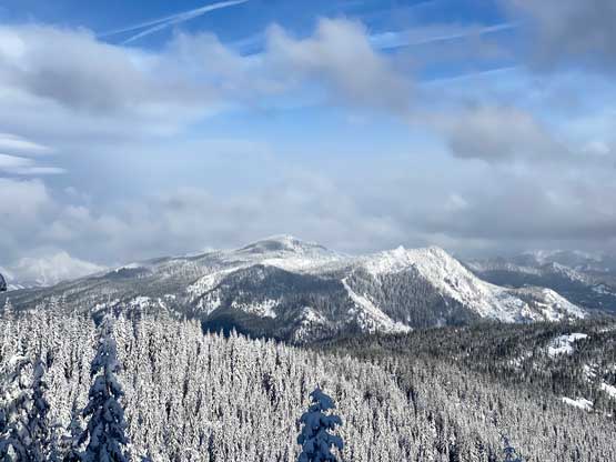
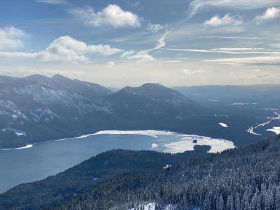
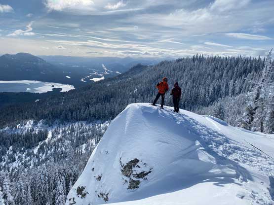
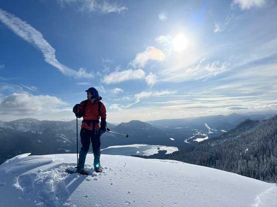
We popped out onto the ski trail at roughly 1250 m elevation. For the next section we would have no other choice than plodding southwards on the groomed runs. The winds had picked up considerably so we took several breaks to don layers. I had brought a pair of Mountain Hardware Absolute Zero mitts (for Himalayan expeditions) and this became the perfect trip to test them out. The summit was soon attained. The entire ascent might seem like dumpster-diving but the true summit was perched on a bluff with open views towards north and east. Unfortunately the cold winds wouldn’t let us stay for too long up there.

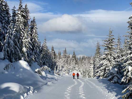


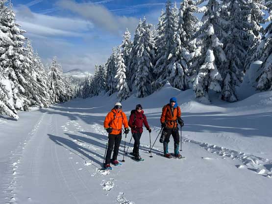


Matt led us short-cutting the highest level of switchback and in no time we were back to that mile-long plod across the country-country ski trails. We then bailed into the forest and followed our own snowshoe tracks for the rest of the descent. Our round trip time was exactly 2.5 hours. Raphael and Mackenzie would continue their trip southwards to Mt. St. Helens whereas Matt and I opted to immediately start the driving homewards. We didn’t actually have that much of extra time but we did earn ourselves enough time for Mod pizza. I eventually got back home at 2 pm with about 1 hour of spare before work. I eventually finished the exhausting but worthy day at 10:30 pm.