“Farrer Peak” (Diez Vistas High Point)
October 18, 2022
560m
Coquitlam, BC
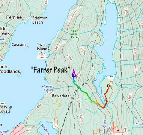
The Diez Vistas trail traverses across a forested ridge on the west side of Buntzen Lake and is a very popular hike in the Lower Mainland, but very few people asides those who call themselves “peak baggers” actually bothers to leave the trail and bushwhack 20 m to the high point of this ridge. The high point does not have an official name but boasts quite a few unofficial names. The local name seems to be “Sunrise Hill” or “Cima Amanecer” which is the Spanish version. I don’t know why this area has the Spanish influence as the name “Diez Vistas” is also in Spanish, meaning “ten views”. Robin Tivy from bivouac.com named it “Farrer Peak” however for whatever reasons that I’m not even interested in knowing, and since then peakbagger.com had adopted that name. This peak was used to be referred as “Buntzen Ridge” on peakbagger.com years ago so that’s the 4th unofficial name of this same peak, but not anymore. I have to say that I equally hate all four of these names as I’d much rather leave it unnamed and just call it “Peak 560” or the high point of Diez Vistas trail, but if I have to pick one I would prefer “Farrer Peak”, simply because I live in this online world. This peak boasts over 300 m prominence so despite the forested nature it’s a legitimate summit.
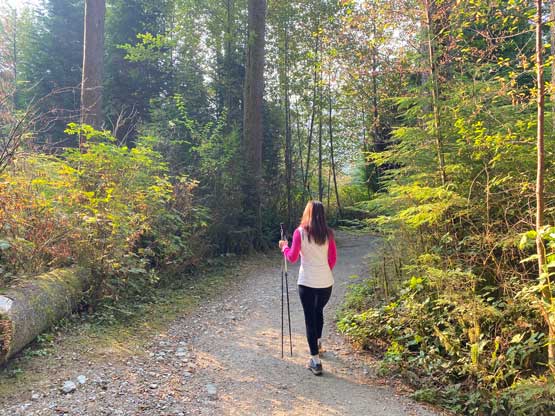
I had been planning to do this hike for years but it would never be on the priority list. At the last minute I decided to do it with Kat as the weather was nice and she had the “half day” available. I also noticed that the suspension bridge at the north end of the Diez Vistas/Buntzen Lake trail was closed for repair, so we wouldn’t be able to complete the loop. Kat and I agreed to leave White Rock at 8:10 am but she somehow didn’t manage to get up so we didn’t leave White Rock until 9:30 am. This meant we likely wouldn’t have the time for the full loop anyway as I needed to be back home no later than 3 pm for work. The drive to the trail-head took about an hour. The parking lot was actually quiet on a weekday morning like this. The weather was sunny but the entire Lower Mainland was covered by forest fire smokes.
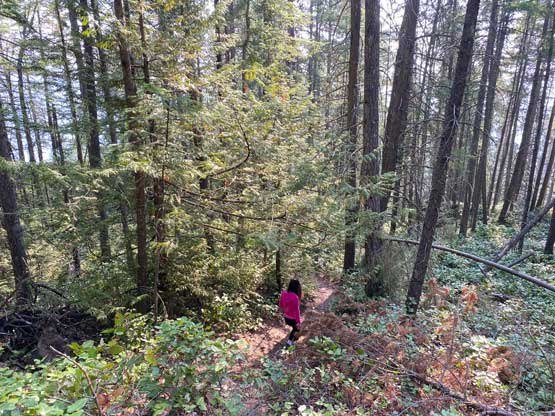
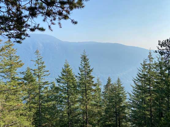
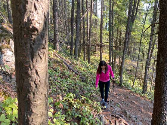
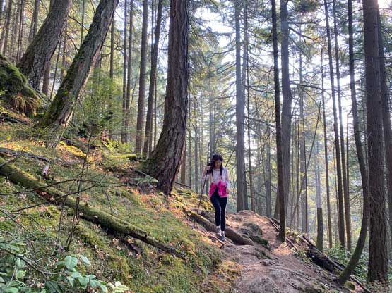
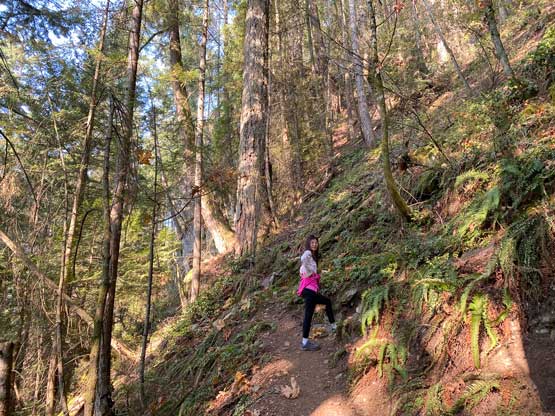
I had not done any research about this hike as the entire trail system is labelled correctly on the Gaia map. I simply took us southwards to a bridge crossing the outflow of Buntzen Lake and then picked up the signed “Diez Vistas trail” that ascends gradually up the eastern flanks of “Sugar Mountain”, which is the south peak of “Farrer Peak”. The trail did a bit of descending to Farrer/Sugar saddle where it crosses some hydro roads. Up to this point the grade of this trail had been very gradual but we encountered steep sections with newly constructed switchbacks as well as handrails on the final push. We checked out one or two viewpoints but the views were so disappointing that I didn’t even bother to take a picture. We then went straight for the forested summit that requires a short bushwhack off the main trail.


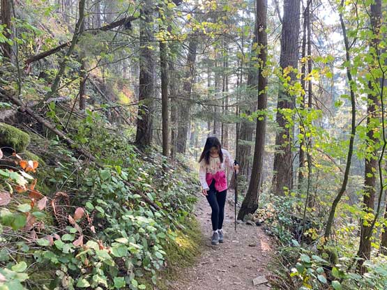


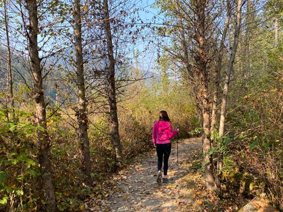
On the descent I opted to take us to the “east side viewpoint” not far from the summit to make a short loop, but that turned out to be mostly for exercise. There wasn’t any view to be celebrated about, but we did manage to see some parts of Eagle Ridge on the other side of the lake. The rest of the descent was uneventful but we had to hurry up so that I wouldn’t miss the afternoon work. Thank to the late start in the morning we didn’t earn ourselves enough time to have lunch in a restaurant and instead, I just grabbed some sandwiches from Tim Hortons and ate while driving. I eventually got back home just in time for work. I don’t know if there’s better views from the other viewpoints on Diez Vistas trail and even if so I could hardly imagine anything there to be spectacular.