Mount Muir
December 28, 2017
4271m
Lone Pine / The High Sierra, CA
Despite the inclusion in the California 14ers the nipple of Mt. Muir is nothing fancier than just a bump on the south ridge of Mt. Whitney, albeit a rugged one that requires some 3rd class scrambling to ascend. For that reason this particular objective is significantly overshadowed by its famed neighbour. The ascent is also just a short diversion from the main Whitney Trail and should take no more than 30 min for competent scramblers. Most hikers on the Whitney Trail wouldn’t even bother with this additional challenge and in fact, most probably aren’t even aware of this peak. But if you are a peak-bagger you would want to ascend Mt. Whitney and Mt. Muir in a single outing.
In winter conditions this could be tricky because any snow and ice on route will probably deny a summit bid. The plan between Jake and I was to ascend Mt. Whitney and then decide based on the conditions whether or not it’s safe to attempt Mt. Muir. The conclusion was that there’s absolutely no snow on route so we must go. The approach and return is all written in the Mt. Whitney’s trip report and here I’m only focusing on the scramble part.
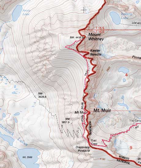
Mt. Muir is just beside the Whitney Trail
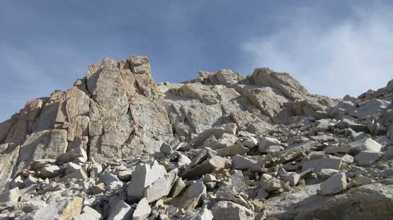
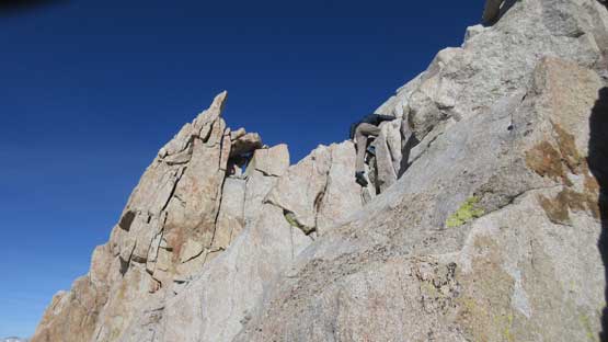
It’s very obvious as where to leave the trail as long as you’ve done some sort of research. To get to the summit block was just an “easy scramble” on talus and scree. There’s plenty of route information for the 3rd class section on this final pitch but once there the route-finding is actually quite simple. We pretty much just followed our basic sense and the natural flow and the route just worked out. There’s one trickier “hand traverse” about halfway up and then to get onto the true summit we had to squeeze up a “hidden chimney” on the backside. Both steps would qualify a “WA 4th class” or “BC 4th class” grade but here in California the rating is lower (3rd class).
This is where we left the trail
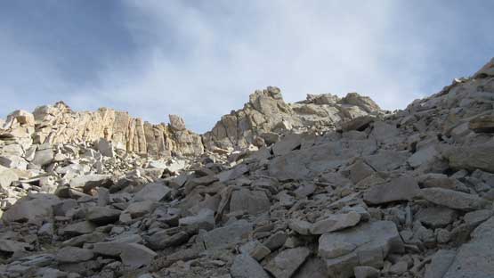
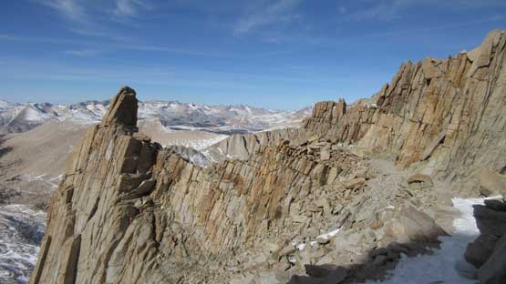
This is looking up towards the summit block
At the base of this summit block now.
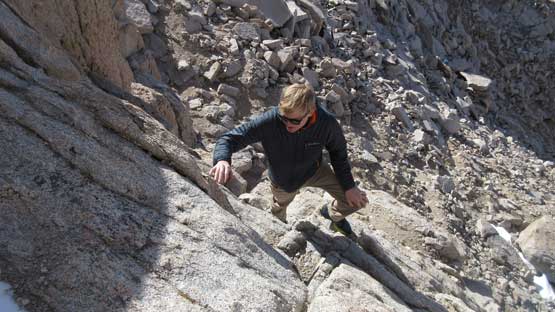
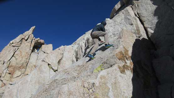
Jake scrambling up. It’s pretty easy going.
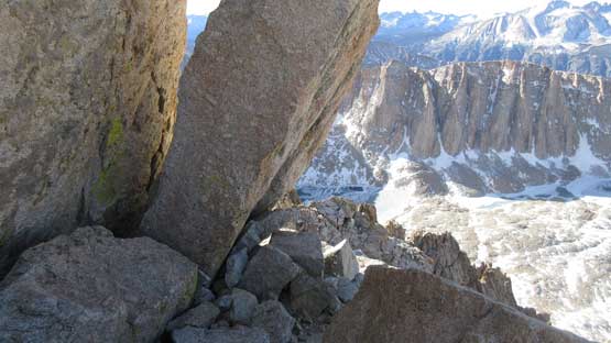
Passing some large flakes. There’s some route-finding at the top.
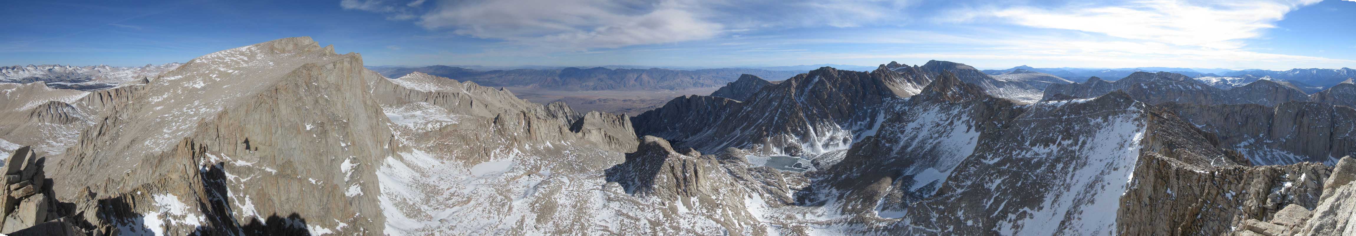
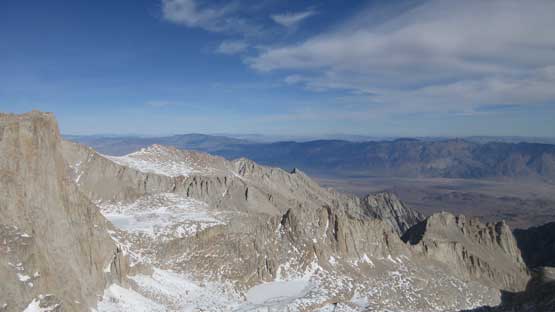
Summit Panorama from Mt. Muir. Click to view large size.

Looking straight down the shear east face…
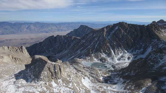
Consultation Lake with Mt. Irvine behind.
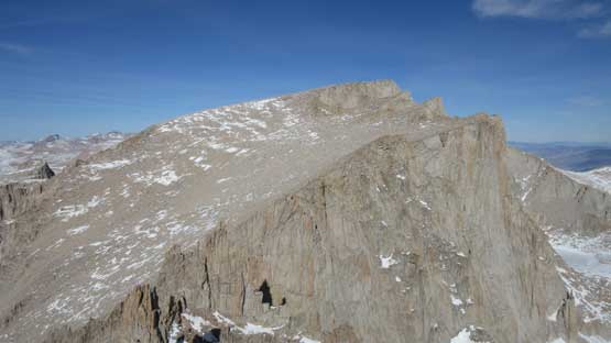
This is the uninspiring south slopes of Mt .Whitney…
This is looking at Table Mtn. et al. on the Great Western Divide

Wotans Throne in foreground. The town of Lone Pine behind
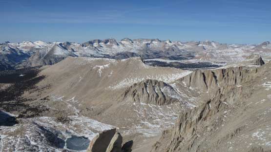
Mt. Langley is another CA 14er
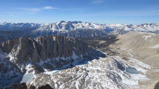
Western view including Mt. Hitchcock and the Kaweah Peaks Ridge behind

A closer look at Kaweah Peaks. They look taller but actually aren’t.
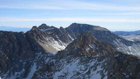
This is a northern view. Mt. Carillon left of center in foreground.
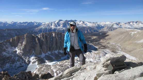
Me on the summit of Mt. Muir, my 3rd CA 14er
Thank to the pinnacle nature of this summit the view was actually more far-reaching compared to from Mt. Whitney. The lighting was gettin’ better too as that thin layer of high clouds was dissipating so we actually lingered for quite a while. The descent was straightforward. We didn’t want to fancy about the route so just simply retraced our exact ascent line. In no time we were back to where we ditched the backpacks.
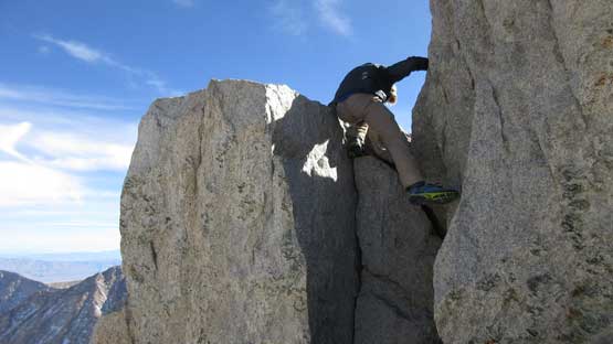
Jake down-climbing the upper chimney.
The hands-on scrambling was pretty fun albeit too short.
This is that “hand traverse” section
Overall I would say the scramble on Mt. Muir is well worth the short detour even if you aren’t interested in that CA 14ers list. It provides the only hands-on variation on top of the otherwise, boring Whitney’s trail. For those curious about the rock quality, the rocks are dead solid to grab so there really isn’t a reason to give a miss.
