Joss Mountain
August 22, 2026
2386m
Revelstoke, BC
Joss Mtn. boasts over 600 m prominence in the Monashees not far from Revelstoke and in fact, this is one of the more popular objectives in the vicinity. A trail runs all the way to the summit where a lookout structure is located, but the real challenge is the access. A high clearance, 4WD vehicle is recommended but a skilled driver can get a AWD SUV up there. I drove the Subaru Forester to the trail-head without a problem but it was sustainedly steep, rocky and loose. There seems to have a few access points but I simply chose the trail-head at the bottom of the NW Ridge marked on the Gaia maps. This is most likely the “standard route” anyway.
This was the final objective between Erica and myself in the Rockies trip and we tagged it on the way back. It was already 7 pm when we finished dinner in Golden. There’s no obvious car-camping site in the vicinity so we might as well push to the trail-head. The driving was definitely tiring. We turned south at the Three Valleys Gap and then correctly located the spur road heading up the NW flanks of Joss Mountain. I was anticipating a smooth sail to the trail-head but in fact, these last few kilometers took almost an hour. I had to turn on the X Mode a few times since the surface of the road was too steep, rocky and loose. The amount of traffic this hike receives could only make it worse. Fortunately I was able to drive us to the parking lot and we simply crashed in the back of the vehicle for the night.
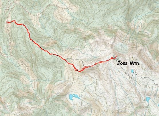
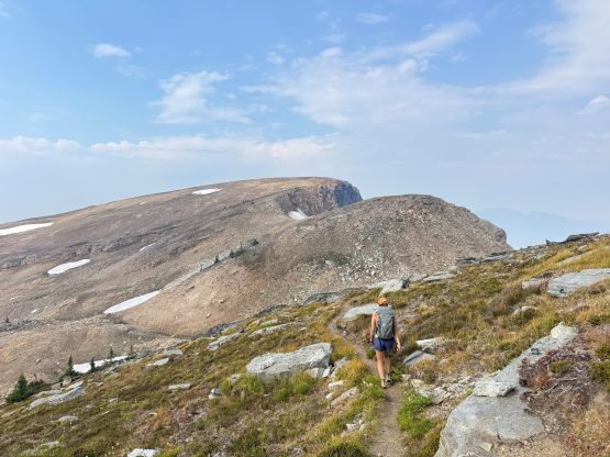
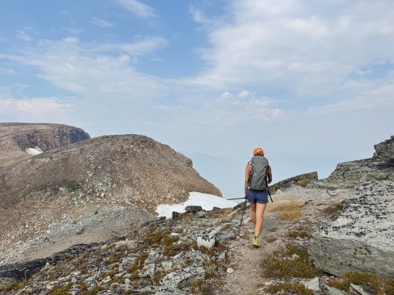
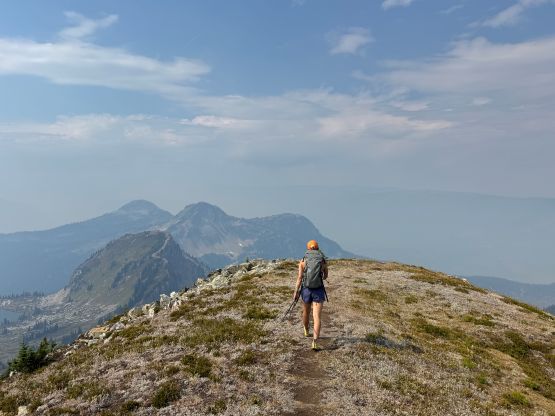
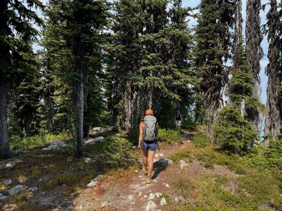
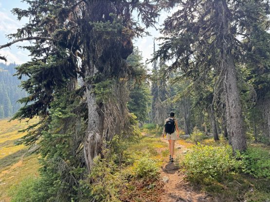
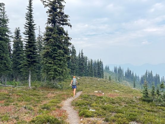
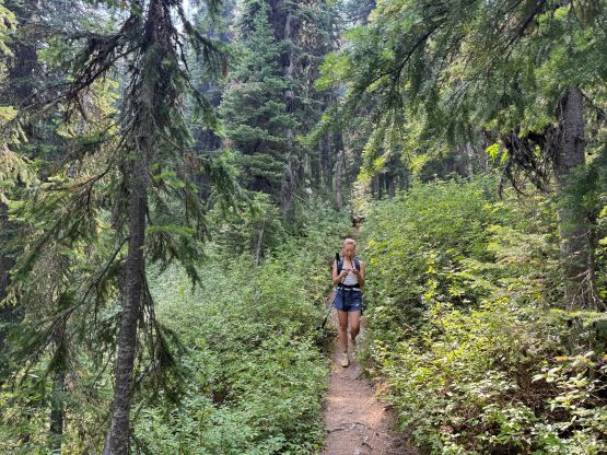
The weather had turned overcast as forecasted but there’s no need to rush. We got up leisurely and still started the hike before everyone else showed up. This was a Saturday so it was doomed to get busy later in the day. The hike involves over 800 m elevation gain so this is not a “freebie” by any measure. It’s a proper half-day objective even for fast parties like us. There’s not much worth documenting since it’s essentially an on-trail hike but I did have to check the GPS a few times to make sure we didn’t lose the trail. It was a bit confusing at the treeline zone. There’s also fair amount of distance plodding in addition to at least 50 m elevation loss to traverse to the true summit but we had no choice.
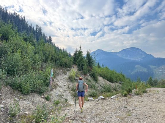
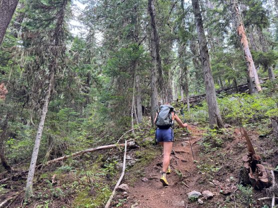
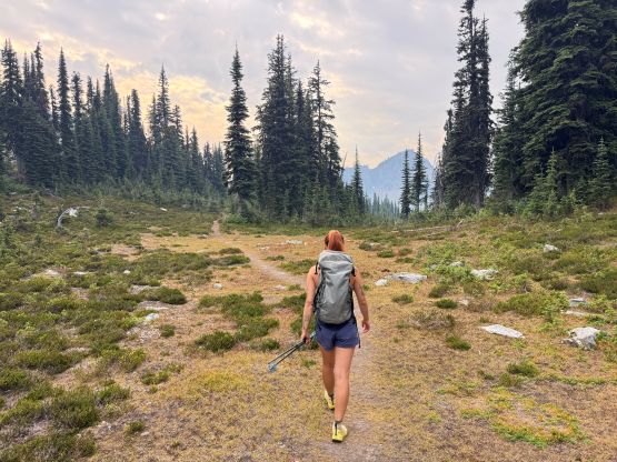
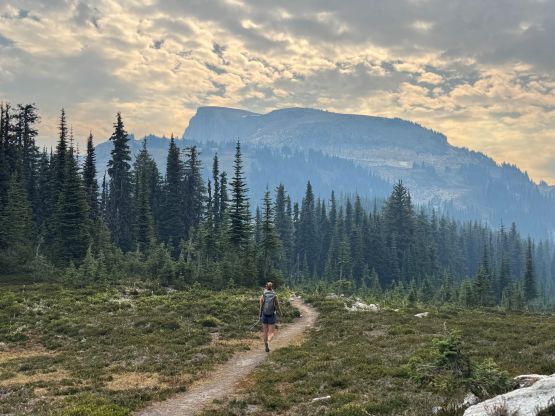
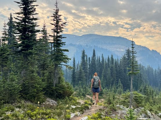
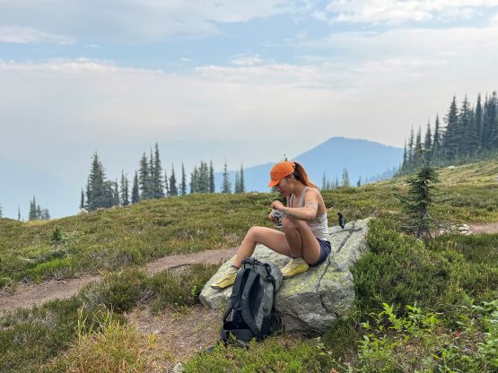
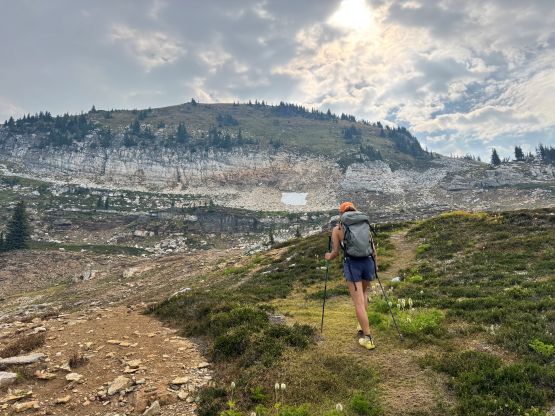
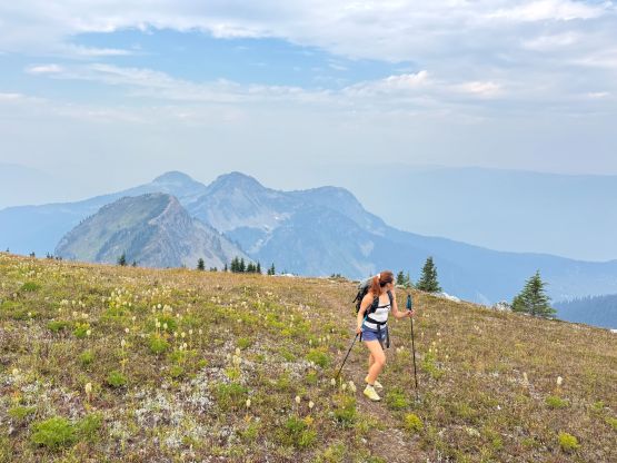
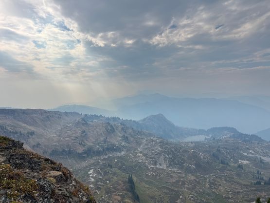
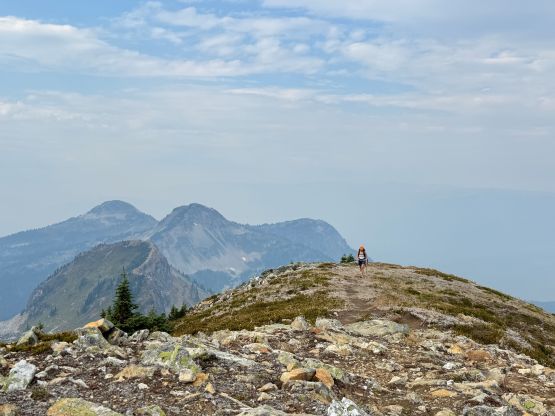
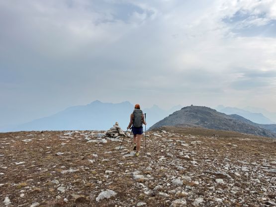
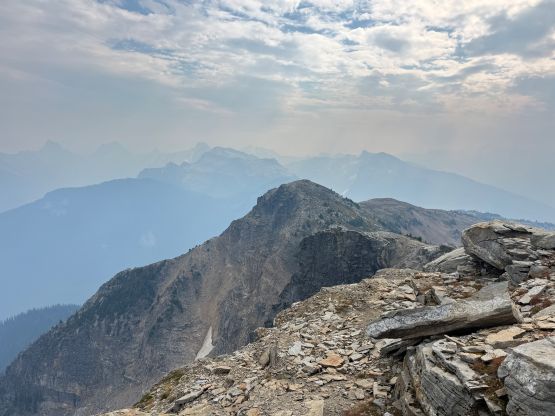
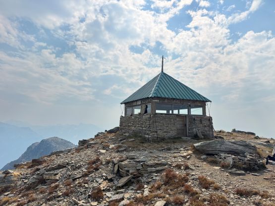
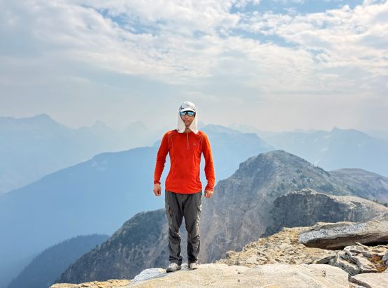
The view was very smokey and the weather was overcast. We even got showered briefly but the view was still great. I could totally understand why this is such a popular hike among the locals. On the descent we passed at least 20 hikers on their way up in various ages, and more were on their way up to the trail-head as we drove ourselves out. Our round trip time was 3 hours which was again, not as fast as I was hoping for, but whatever. The rest of the day was spent driving all the way back to Vancouver.
 Steven's Peak-bagging Journey