Mount Fable
June 12, 2013
2702m
Kananaskis – Exshaw / Bow Valley, AB
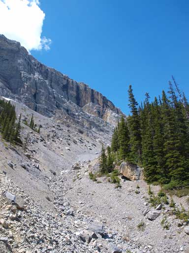
Mt. Fable is one of those peaks that “sticks out” from a sea of front-range summits, dominating the skyline and visible from many of the scrambles around Canmore and Bow Valley. But it’s not a “roadside classic” and not very visible from major highways or townsites. The standard route involves a long slog up Exshaw Creek valley and many folks prefer to combine it with the nearby Gap Peak to make a loop traverse.

Gap Peak to Mt. Fable traverse route
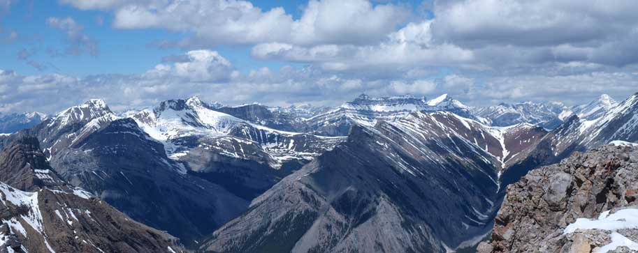
The weather held better than the forecast, so after summitting Gap Peak I resumed the rest of the traverse. The connecting ridge appeared very long but actually not that bad. The crux was right after the summit of Gap Peak. You can probably avoid the difficult parts by going down skier’s left side on rubble but I couldn’t tell for sure. I went down on ridge crest, and it was pretty exposed for a long section. Once the ridge flats out the terrain gets easier immediately. There wasn’t too much to describe on this ridge since essentially I was following the ridge crest with a couple detours here and there to avoid unnecessary “difficult scrambling”. At one point I bailed the ridge and went for right (east) side looking for a scree/snow ledge, and later on at another point I went to the left (west) side to avoid a slabby part. Other than these two sections the rest was easy going and I soon stood on the highpoint between Gap Peak and Mt. Fable. The view from here was also pretty good revealing some rarely seen peaks to the north.

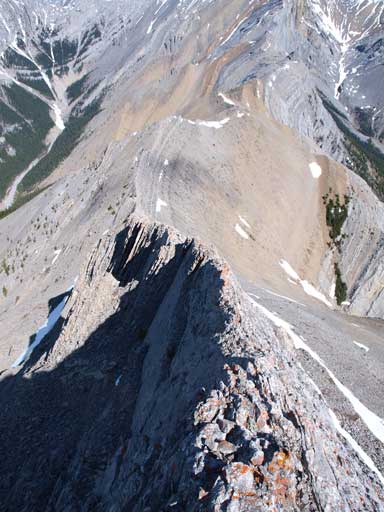
The connecting ridge to Fable looks to be quite long from summit of Gap
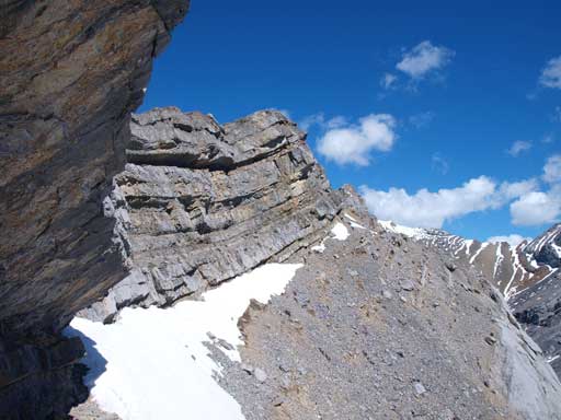
Exposure is quite real near the summit of Gap Peak

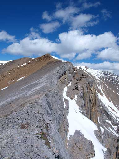
Looking back towards Gap. I think you probably can find an easier line but the terrain would be down-sloping and loose
I traversed on this scree ledge to avoid the ridge crest at one point

Looking back towards Gap Peak
Now I bailed to left side

So I wouldn’t do this part solo
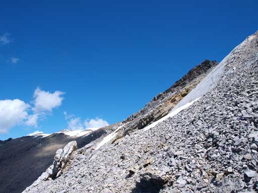
Now it became easier again
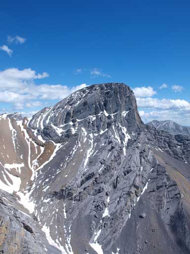
Mount Fable is getting bigger
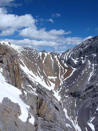
Looking towards the col between unnamed and Fable

Can’t stop shooting Mount Lougheed
It’s a gorgeous day out!

Grotto Creek Valley. Grotto Mountain on right
At center in the foreground is Cougar Peak

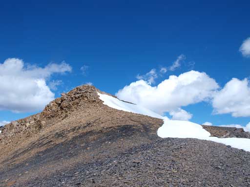
Going up this unnamed highpoint
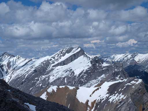
The elevation loss and regain was pretty frustrating and obviously I had to lose a good amount of elevation to get up Mt. Fable, which looked to be quite slabby. However, once getting closer to the slabby face, the terrain was actually pretty simple, but still, I wouldn’t like to be here with snow all around. Near the top there was an exposed scree ledge traverse. The summit view was awesome especially given the not-so-great weather forecast. It took me 5 hours from car to summit of Fable and I took a long break on the top.

Mount Fable from the unnamed highpoint. Note the elevation loss

There was still a bit of snow here

Looking down Exshaw Creek valley. I would go down this way

Looking back towards this unnamed bump

This scree traverse to the summit of Fable is a bit exposed

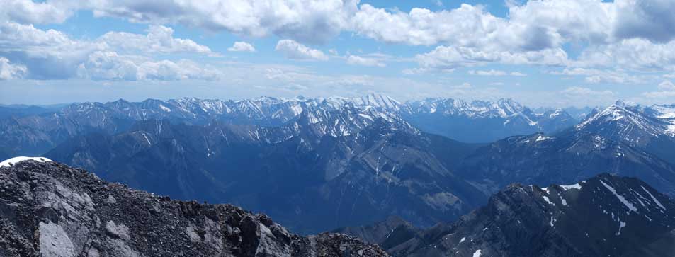
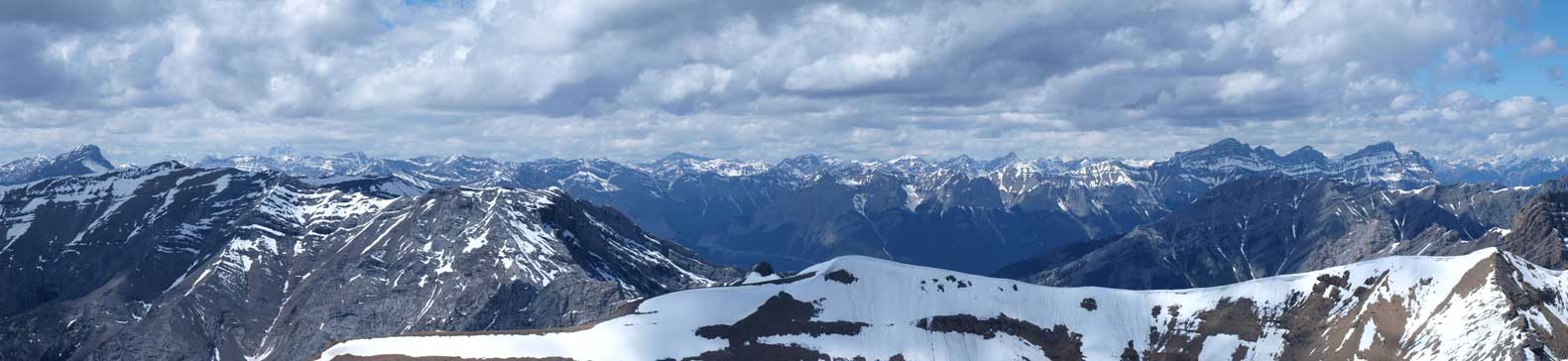
Summit Panorama. Click to view large size
The two summits of Charles Stewart on left; Peechee right of center. Aylmer on the far right.
Mount Townsend is the highest in this area. It’s on my to-do list now.

Looking north into Ghost River area

Morrowmount was quite a long slog
Hassel Castle would be interesting to explore

There might be a scramble route up Goat Mountain from this side
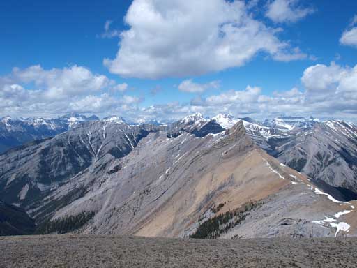
The peaks south of Highway 1 look small from here.
Looking west towards the familiar Bow Valley peaks
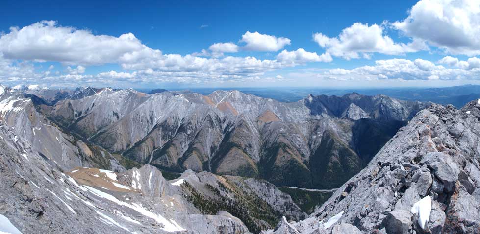
Panorama of Exshaw Creek Valley
Some people suggested to go back via the same approach (traverse up and over Gap Peak again), but that’s not quite an option on this particular day thank to the thunderstorms in the forecast, so down the Exshaw Creek valley I went. There was a nice snow line down the Mt. Fable scramble route and I opted for this alternate descent route. It was such a pleasure to have snow accompanying me pretty much all the way down this bowl. It literally took me no time to get down. Once out of the snow I picked up a trail on skier’s right side of creek bed. I guess Mt. Fable is getting popular because the trail was pretty beaten and I could follow it pretty much entirely out. The long walk was for sure not-so-pleasant, but at least it was all down-hill. After a long time I rejoined the main Exshaw Creek. Here the trail would soon jump back and forth across the creek, and in June it wasn’t an easy task to cross this creek. I ended up doing at least 2 sketchy crosssings on not-so-stable logs and 3 fordings.

Descending snow

One of the many slabs on Fable

What a neat line to glissade
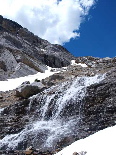
A neat waterfall at the end of this bowl

Looking down the rest of de-proach

Mount Fable is such an impressive peak!
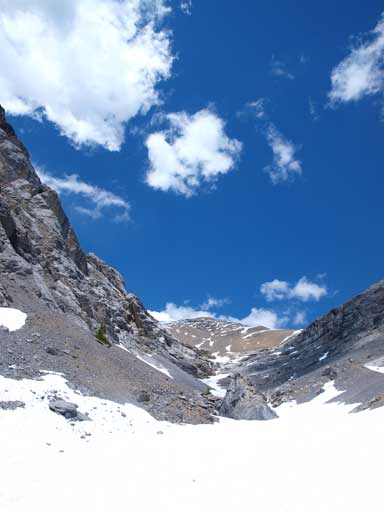
Looking back up this bowl
I wish Jasper’s creeks are all like this!
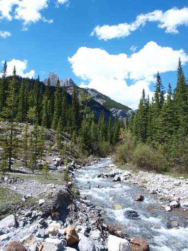
Rejoined the main Exshaw Creek. It’s flowing high right now and not easy to cross without wetting my foot!
Eventually I got out of the wilderness. Still have 1 hour’s highway walk to go.
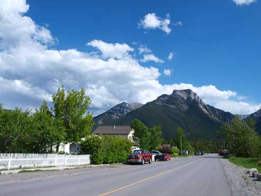
Once out of the trail I was in the small mining community called Exshaw. Unfortunately nobody gave me a ride and it took me 1 hour to walk back to my car at Grotto Pond. This part wasn’t fun at all especially with all the big trucks passing by. I felt a bit safer to walk on the grass being at least 5 meters from the road. Overall it was a pleasant day in the Rockies again, and my round trip time was 9 hours.

Solid trip report.
Thanks.
Any km distance? Total evasion etc? Just did this on Sunday July 3rd. Except we gained the SE ridge going up Gap. Lots of fun moderate and up scrambling