Tuff Puff
January 12, 2014
2330m
David Thompson Country, AB
The snowpack has been very unstable throughout the season so far. Worthwhile objectives that are still safe to ascend are very limited. A couple weeks ago I got turned around on Cave Mountain due to high avalanche hazard. After a couple big dumps and strong winds, this weekend could only get worse. Snowshoeing in the trees seemed like the better idea. With questionable forecast Mike, Ben and I decided to head into David Thompson Country as we hadn’t visited there for quite a while already. Tuff Puff is an unofficial name of a “bump/ridge” at the east side of Whirlpool Ridge. It’s not a prominent highpoint, but does offer 1000 vertical meters’ work-out and some fine views. It’s also well described in The David Thompson Highway – A Hiking Guide book (trip #59, page 211).
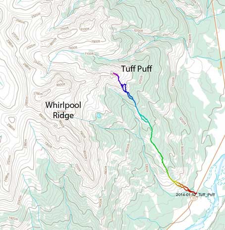
Tuff Puff standard hiking route. GPX DL
There’s essentially very little to say about the ascent itself as it’s simply following the ridge up. The trail-head is the same as Kinglet Lake’s, about 3 km west of Siffleur Falls staging area. We car-camped at the trail-head with me sleeping in my bivy sack outside the car. It was very windy after midnight and I didn’t get a good sleep at all. Weather started to look better in the morning, and with good spirit off we went. For those of you interested in this objective I’d say don’t do it in windy days. Despite the fact the summit is barely above treeline, more than half of the ridge is exposed to the prevailing wind. But on the other hand, ascending in open terrain does offer better views so it wasn’t that miserable. Due to the lack of snow we made progress quickly.
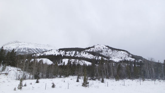
Looking up the ascent ridge from the “parking lot”
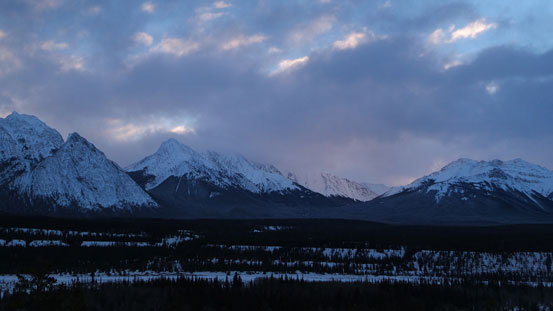
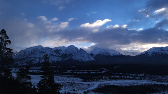
Morning colours
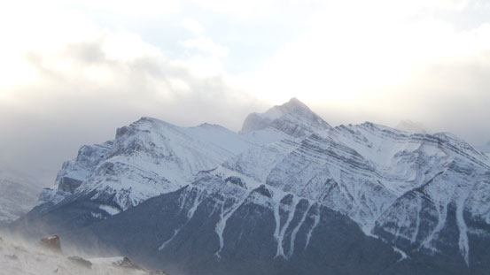
Ex Coelis Complex on left

Rhine Peak and Elbe Peak (peaks on Ex Coelis)

Mount Peskett

Open slopes like this provide easy travel. (Be cautious with avalanche potential if it’s loaded though. On our day there’s barely some snow to cover the grass/rock).

Near the ridge crest now

Looking back from the ridge

There’re many open slopes like this on the ridge. This one was so dry that we even took the ‘shoes off briefly

The Peskett/Loudon/Siffleur group
Siffleur Mountain
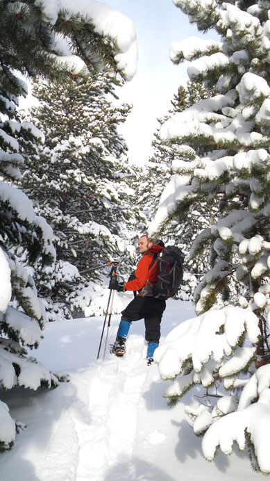
Since we did it in winter, following the trail became a challenge at times. Even though the general direction was very easy to follow, we still wanted to be on the trail since bushwhacking in this area wasn’t very pleasant. Higher up the post-holing started to get tedious but thankfully the mountain isn’t very high. At that point we were already getting close to treeline. At the last steep roll we made a mistake going climber’s right and ended up in the bush was very bad post-holing. And once coming out of the trees we were welcomed by the crazy wind. The wind was so strong that we couldn’t even stand on the summit. We had to sit down in order not to be blown off the mountain.. (Later after getting back home we knew that apparent there was a wind warning for Saskatchewan Crossing with gusting up to 100 kph, and that’s on the ground level…)
It’s crucial to find this “line of clearing”. The bush around here is very dense
Higher up we came to another opening

Not far from the treeline.

Tedious trail-breaking around here
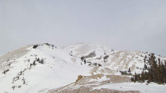
Finally reached the treeline. The summit is the farthest bump.

The typical wind near the summit…

Guys battling against the wind
Elliot Peak and Mt. Ernest Ross showed up briefly
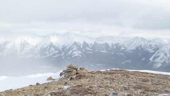
The summit cairn, with Mount William Booth behind

The ridge eventually leads to Whirlpool Ridge. This is not the ascent side for Whirlpool though.
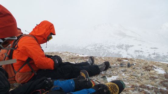
Sitting on the summit in order not to be blown off.
After some obligatory summit photos we started the descent. We picked slightly different lines on the way down which avoided the tedious post-holing section but added a short but very miserable bushwhacking part. Lower down we re-joined our uptracks which were barely visible given the wind, and followed down with no issue.
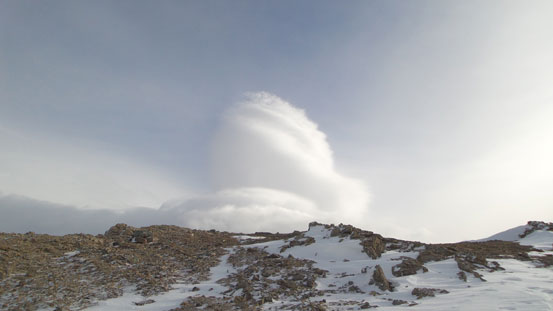
Interesting cloud formation

Siffleur Mountain, Mount Loudon and Mount Peskett
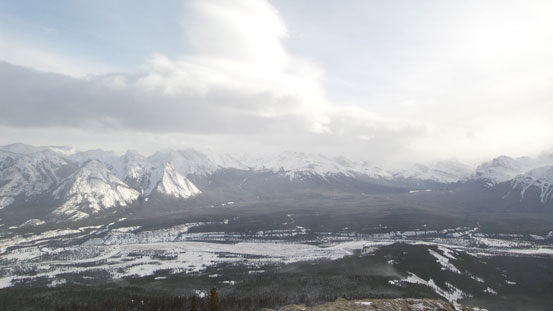
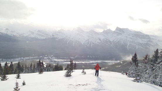
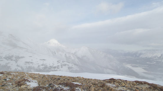
The North Saskatchewan River valley. Ex Coelis on the left.
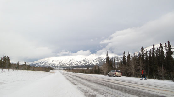
Back to the highway.
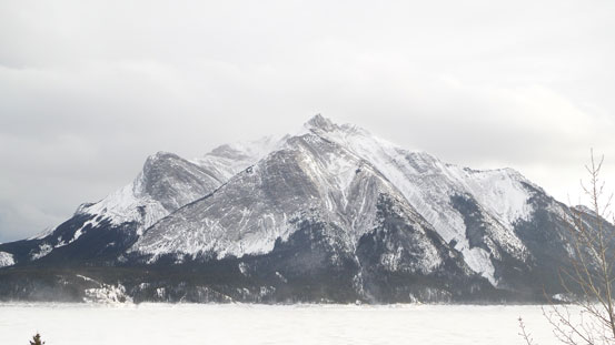
Mount Michener on our way home.
Our round trip time was about 6 hours in a non-rushing pace. The nearby Whirlpool Ridge and Two O’Clock Ridge are much higher and should offer better views but those are summer ascents, so I’d highly suggest doing the lower Tuff Puff in winter for a change in scenery, especially when there’s no other safe objectives to do.
