Lookout Hill [Orcas Island, WA]
August 2, 2026
212m
Orcas Island, WA
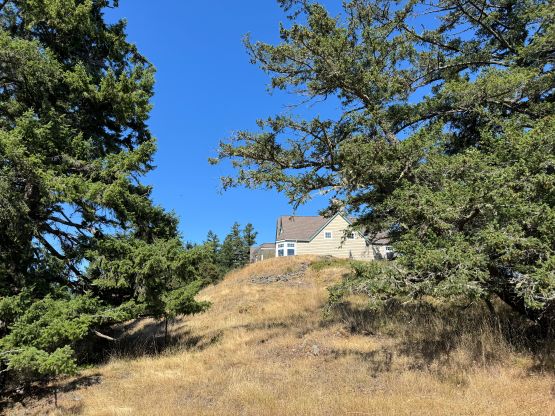
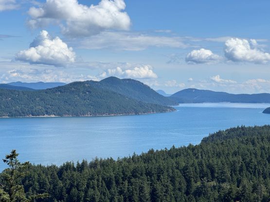
The name is descriptive but there has to have fair a few peaks named “Lookout Hill” out there in English speaking countries. This one locates on the western reach of Orcas Island in the state of Washington. The entire hill including the very top has been developed for residential use which is unfortunate, as the summit actually offers some unobstructed views – not surprisingly given the name “Lookout Hill”. From peakbagging perspective this objective boasts over 100 m prominence so it’s legit. However, the private property issues seemed serious that many of us weren’t dare enough to attempt. “Close enough” wouldn’t be “enough” in my book so I would have to stand on top of the true summit, which is unfortunately right in front of the highest house’s parking garage.
The simplest way would be driving and/or walking directly up the driveway (to the highest house) but before committing to that I made sure to actually read the few existing trip reports out there. I also went back to the maps and satellite images to have a better understanding of the neighbourhood. I eventually decided to not risk a direct confrontation on this objective as I believed I could find a more creative solution. The concept of trespassing was still unavoidable as start of the Lookout Hill Road was marked “private” but at least there wasn’t a gate. I didn’t have an exact plan but the plan quickly formed as I drove up this private road. I only drove about halfway up and parked on the side as I didn’t want my presence to be too obvious.
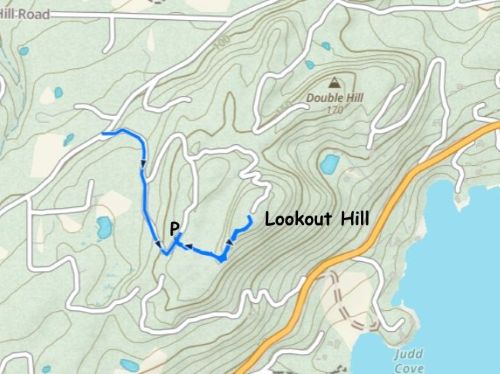
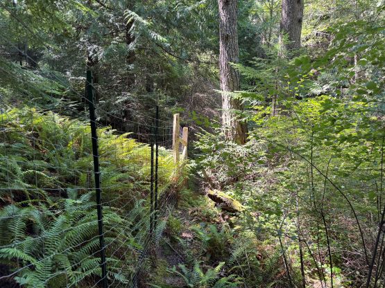
The forest directly to the right (east) seemed to offer a passage to the upper hill so I dashed into the woods. The forest was thin enough that I could definitely see the house to my immediate left so I made sure to be quiet and sneaky. Eventually I hit a fence and walked along this fence a ways due north. The fence was actually serious that hopping over wouldn’t be straightforward. Fortunately to reach the summit area I didn’t have to hop over this one. A while later I actually picked up a path which got me onto the south ridge with some openings for views.
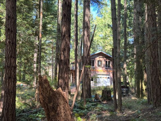
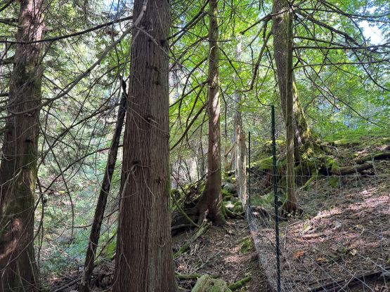
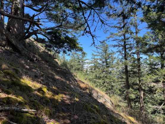
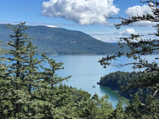
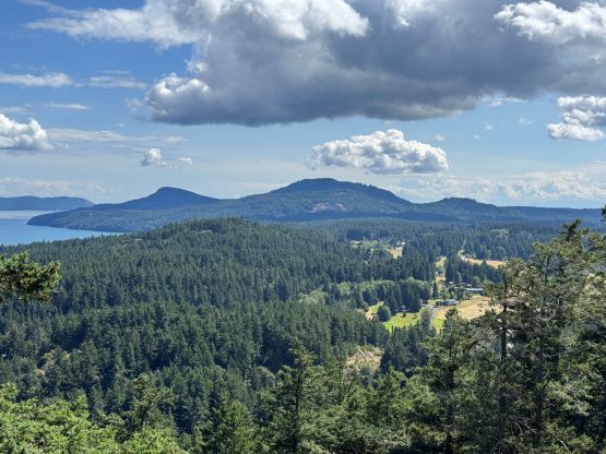
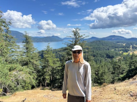
To attack the true summit I again, did not formulate the plan until the last minute upon evaluating my options. I could definitely see the house perched on the very top so that meant they could have seen me if I dared to dash straight up the (mostly open) south ridge. That could work but would defeat the purpose of finding this sneaky way. Instead, I traversed climber’s right on some ledges (with minor bushwhacking) to the area directly under the house/true summit. This entire traverse was hidden from view. I then scrambled up and quickly tagged the highest point which was right next to the garage, unfortunately. I could see why some peakbaggers opted to skip Lookout Hill as this final stretch definitely felt sketchy, even for someone like me with at least a hundred similar “ascents” under my belt.
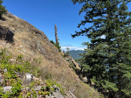
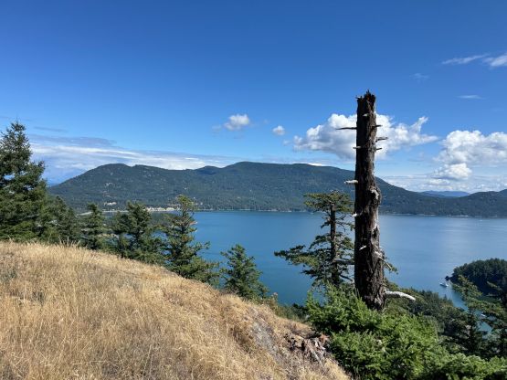
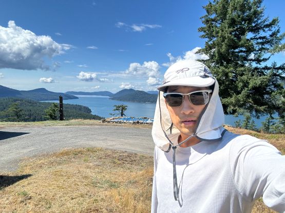
Not doing any unnecessary lingering I ran back to my traversing ledge and carefully reversed my route down the lower part of the south ridge. I basically traced my GPX track back to where I parked, and then drove away. This neighbourhood seemed rather quiet so it was likely okay to have just driven up the driveway but it was still good to minimize my presence while still being able to complete the objective. I then drove Clair and Cheesecake southwards to Turtleback Mtn. which was one of the only few on this island that does not require trespassing.