Bear Mountain (Harrison Lake)
January 14, 2018
1036m
Fraser Valley / Harrison Hot Springs, BC
Bear Mountain is a giant wooded hill near Harrison Hot Springs with absolutely nothing special. The true summit is densely forested but a clear-cut area about 100 m south of the highest point provides some unobstructed views towards Fraser Valley and Cheam Range. There’s one huge helicopter pad as well as what seems like a weather station. The “Bear Mountain FSR” runs most of the way to the summit but the road itself is gated at the bottom. The road has now become a trail and the trail itself is well documented in 103 Hikes in SW British Columbia.
Uninspiring and uninteresting objectives like this are better done in winter and in particular when the snowpack is bad enough that bigger peaks are out of shape. This turned out to be the exact case last weekend. A rare break in the perpetual rain granted a single day’s 100% sunshine but the temperature would gone nuclear. Avalanche condition was rated “H/C/M” and I did not have enough motivation to drive farther. In the end I decided to join Tiger Lu and his friends and then I picked Bear Mountain. Too lazy to come up with anything fancier.

Bear Mountain hiking route. GPX DL
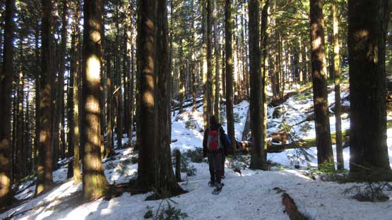
Locating the trail-head could be the first challenge of the day but not for us thank to a pre-loaded GPX file. The gate was surprisingly open but the low elevation snow prevented us from driving any farther. This is a approach road that has lots of confusing branches. Most of the branches are signed “Bear Mtn.” but not every single one so the GPX file is still very handy. About 400 m elevation gain later the snow became deep enough for snowshoes and then at a major junction we caught up with a lone hiker. After a short conversation we passed him and I have to say the trail-breaking was tedious. It’s never a fun experience to post-hole in coastal cement but let’s face it.

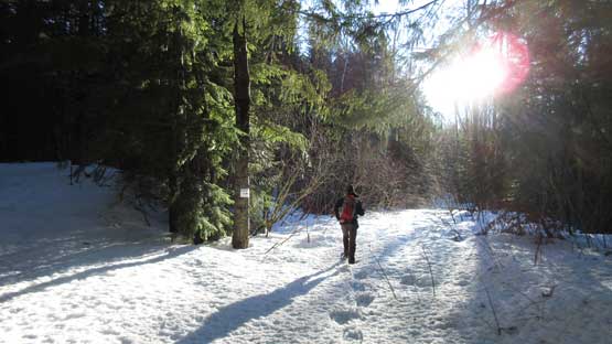
The start of this trip. As boring as it seems here…

Henry leading the way.

There are a couple spots that you can briefly see Harrison Lake down there.
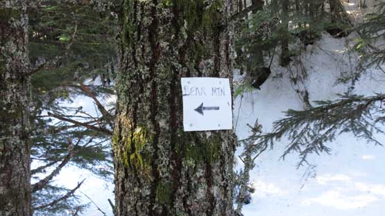
If you see these signs then you’re at the right place.
After a couple long switchbacks we gained the broad plateau and then Bear Lake. The lake was frozen solid and we saw little point in lingering, so resumed on. The long traverse due south across the high plateau/ridge has some bushy stretches but not a lot of elevation gain. It’s pretty obvious where we should leave the road and enter the forest. The orange markers were initially obvious but soon we lost them, but at this point the summit was only 300 m away. I then led a cross-country line through the mature forest with minimal bushwhacking, and we did pick up the orange markers again near the summit. We kept traversing past the true summit to the heli pad lookout.
Gaining the plateau now. Still a long ways to go though.
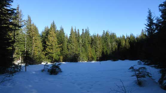
One of the open areas. In summer this might be a swamp.
Somewhere near the true summit. We kept traversing until that lookout site.
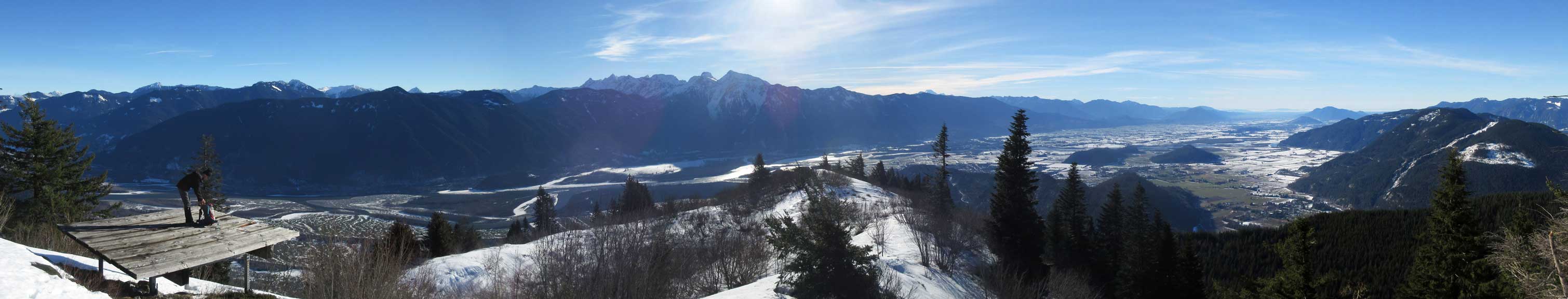
Panorama from Bear Mountain. Click to view large size.
The lookout has some unobstructed views towards Fraser Valley

Cheam Range peaks are in show too.

This is more-or-less looking straight down into Fraser Valley floor

The wooded bumps of Mt. Agassiz and Mt. Woodside in foreground

Exploring the open area.
I went down for another 50 meters to check things out, but there isn’t much to see.

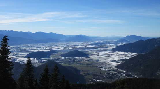
Briefly saw Harrison Lake with the high peaks of Chehalis area behind
This is looking towards Hope area

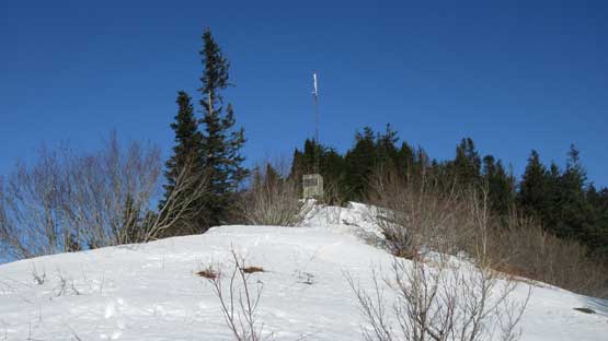
The huge heli pad

Our group shot on Bear Mountain.
The view was certainly great but not superb. We only had about 180-degree panorama while most of the northern views are still blocked by trees. The temperature was mild so we did linger for quite a while. The descent was a simple matter of retracing our own steps while the soft snow did make easier plunge with, or without snowshoes.
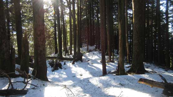
Heading down. This is the section in mature forest

Back to the logging road plod.

Plod, plod and plod…

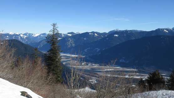
Good view of Harrison Lake. You can also see Harrison River on the left side

Henry plunging down using our own tracks
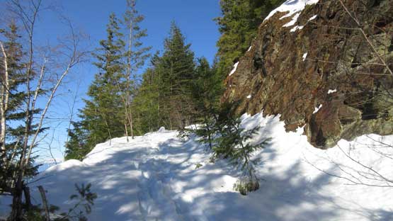
There are some open areas but not a lot of views tbh.

This roughly where we decided to remove snowshoes

Continuing plunging down on the thin (and slushy) snow

As typical as it gets…

Almost running out of snow.
In the end this was just about the hike I was looking for, but nothing’s really spectacular. Other than a few limited viewpoints and the heli pad lookout itself the whole hike is done in dense forest that you see absolutely nothing other than trees.. The length of this trip was longer than I was expecting – about 20 km round trip.
