Mount Tecumseh
July 4, 2013
2547m
Crowsnest Pass, AB
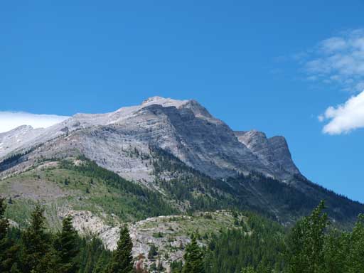
Mt. Tecumseh is a fairly prominent peak in Crowsnest area, well documented in Alan Kane’s Scrambles in the Canadian Rockies. And thank to the inclusion in Kane’s book this peak does regularly see visitors in summer months. Grant, Dan and I decided to combine it with the nearby Phillipps Peak to make a 2-summit day and this was the second objective after successfully ascending the lower, but harder Phillipps Peak.
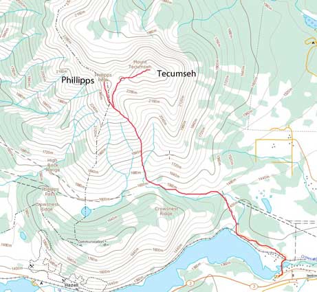
Phillipps Peak and Mt. Tecumseh scramble route
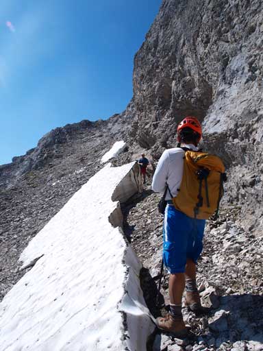
Instead of losing all of the elevation to the big gully, we would use the previously spotted scree ramp as a short-cut. The ramp was pretty loose, but easy scrambling only. However, if snowy, you would want to have at least an axe. The run-out zone on this ramp doesn’t look so great if you start a slide.
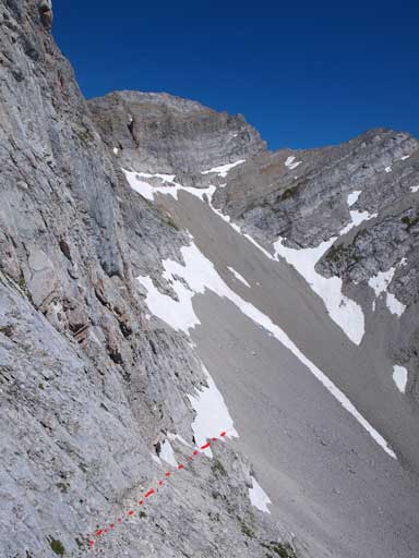
The scree ramp (bottom left) is obvious from the ridge on Phillipps Peak
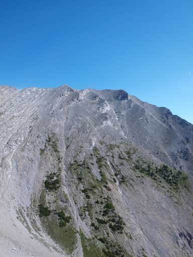
Tecumseh looks sloggy, but easy
Dan and Grant started down the ramp
Travelling through a moat
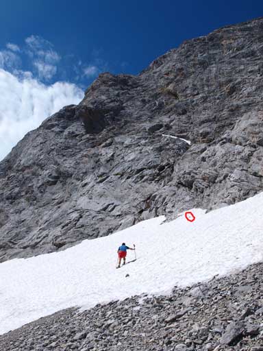
A gusting wind blew away Grant’s hat, and he had to get up a snow slope to retrieve it (in red circle)

Interesting clouds were rolling in.
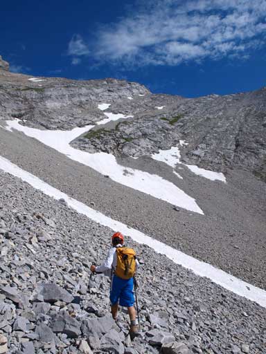
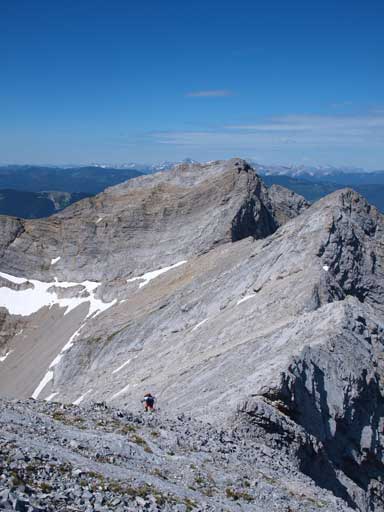
Once down the ramp, it was mostly a tedious rubble slog to get up Mt. Tecumseh. By now the sun was out on full force but we somehow managed to maintain a fast pace up this never-ending slope. We initially went up a snow slope, and then merged onto slabs, and finally rubble terrain. This foreshortened slope brought us almost back to the elevation of Phillipps Peak. After that it was a mostly easy ridge-walk with a couple mildly exposed sections. Tecumseh is almost 50 meters higher than Phillipps, and we got better view from this summit, especially towards Crowsnest Mountain. We went down to a sub-summit and from there we got even better views towards Crowsnest communities. Highly recommended to walk around the summit area for better photos.
Dan slogging up the endless rubble
Great view once hitting the summit ridge

This will be the true summit
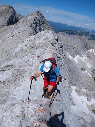
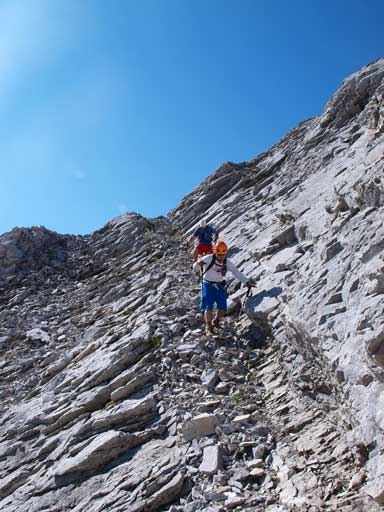
Grant walking across a short mildly exposed section
Starting to get higher than Phillipps
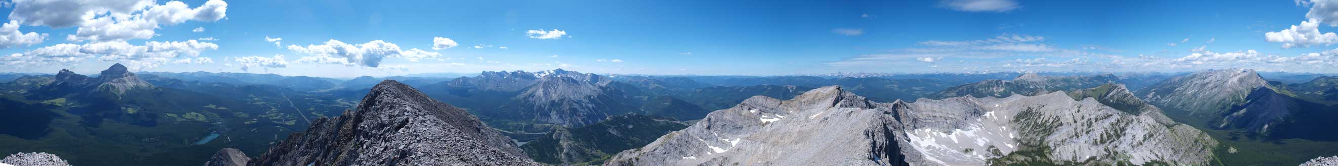
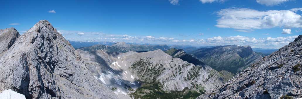
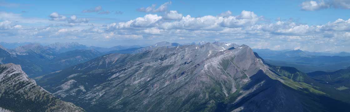
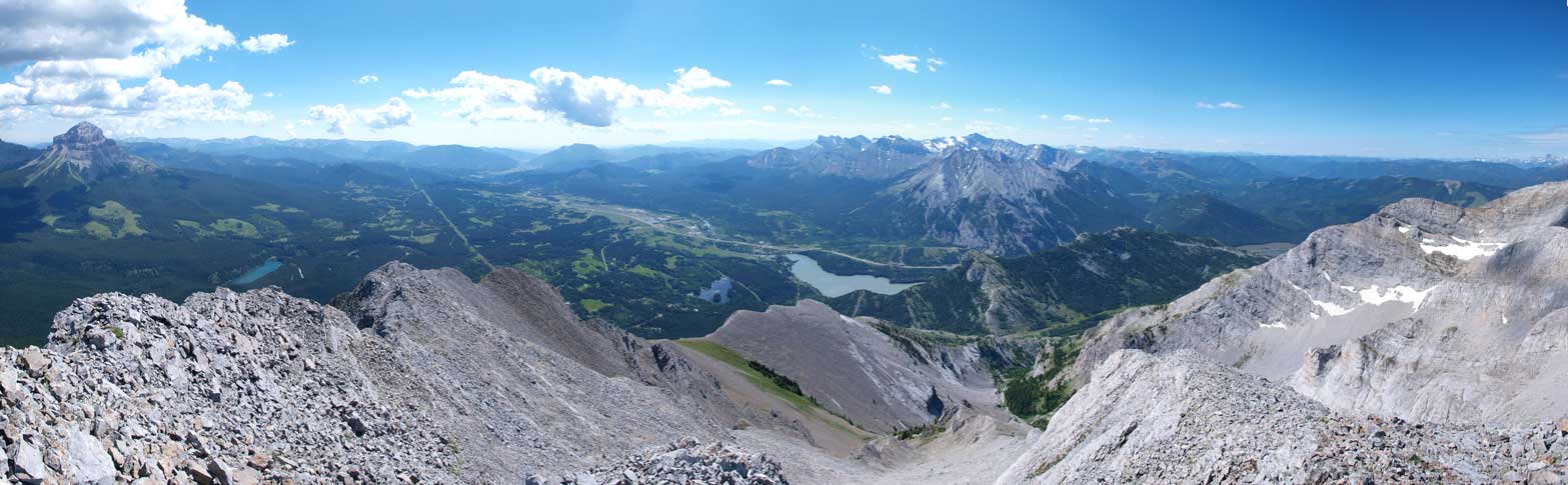
Summit Panorama. Click to view large size
Looking over the summit of Phillipps Peak towards the distant Fernie area

Looking over Mount Erickson and Erickson Ridge
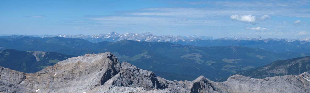
Looking north towards High Rock Range
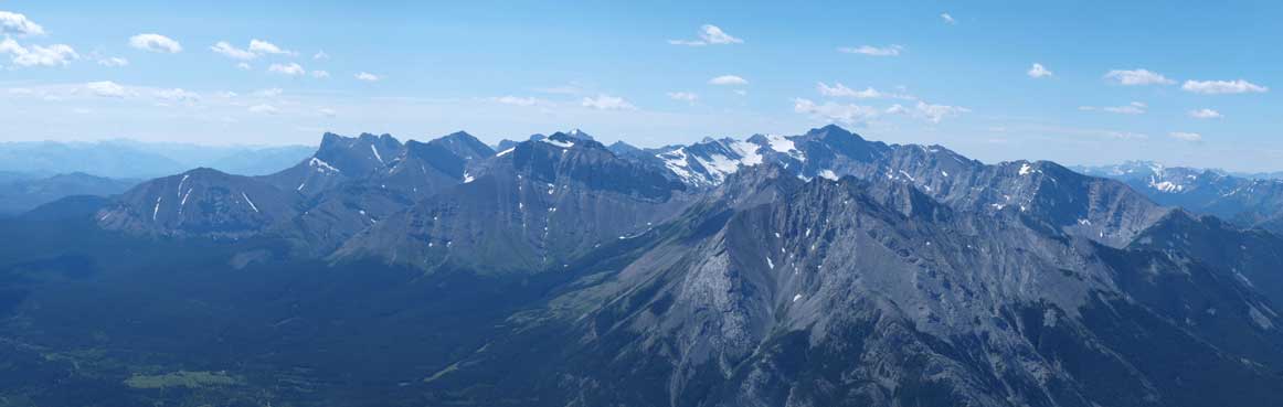
Panorama of Flathead Range, with Mount Ptolemy being the highest.
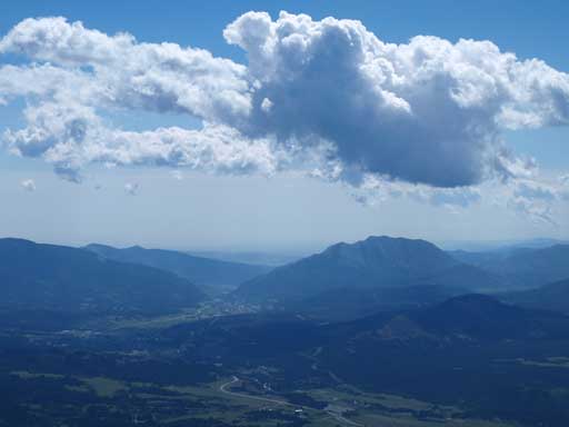
Turtle Mountain
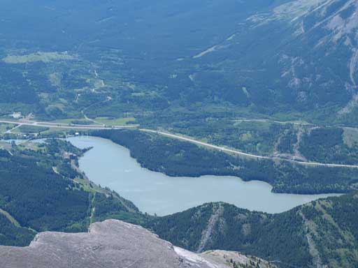
Crowsnest Lake
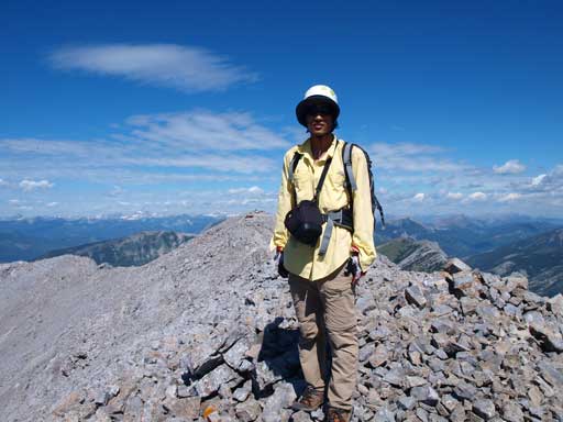
Me on the summit

Seven Sisters and Crowsnest Mountain
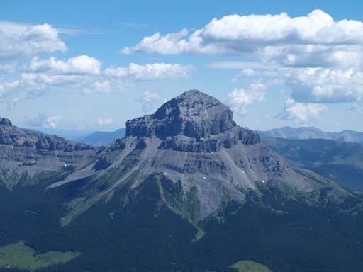
A closer look at Crowsnest Mountain
Panorama of Crowsnest Pass area
It was a hot day and we didn’t feel like staying any longer so we started our way down pretty quick. Slogging back down the rubble slope was tedious since we could only occasionally find screes. Once down to the major gully we kept following it down. It eventually becomes a canyon. Though very hot, we did find some very interesting, and challenging scrambling down there. It added a bit of fun to this boring descent. We didn’t bother to slog up Crowsnest Ridge even though it’s right there. It’s easy enough that I’d like to do it at sunrise or sunset hours, or as a winter ascent when avalanche is high elsewhere.

Time to go back..

Looking back up this big drainage. Phillipps Peak in the background.
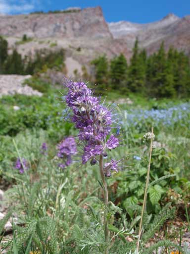
Beautiful flowers

This drainage was hot when baking in the sun..
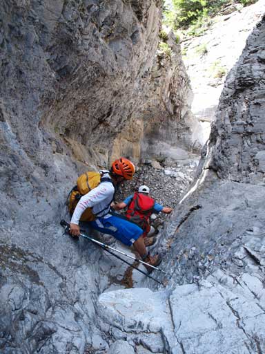
We found some interesting scrambling in the lower canyon
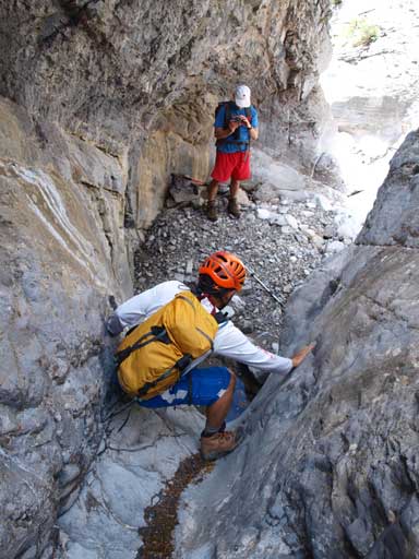
Same as above
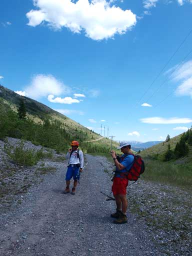
Back to Phillipps Pass Road
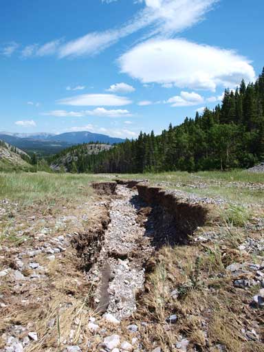
Earthquack?! No. It was because of the flood
Looking back towards Mount Tecumseh
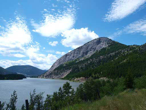
Crowsnest Ridge and Crowsnest Lake
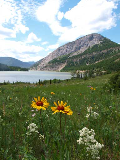
Flowers again.
We made back to Calgary earlier in the evening, and that would give me plenty of time to plan the next day. I’m very glad we didn’t waste our energy on Crowsnest Ridge otherwise I would regret…
