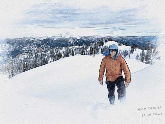
Mount Potter
January 22, 2022
1919m
Hope / Sunshine Valley, BC
Mt. Potter in the immediate vicinity of Sunshine Valley is by any mean not a “major summit” even though the higher west summit does boasts over 350 m prominence. The access is also not the prettiest as the peak is guarded by steep and unrelenting forest on all sides and a river crossing is also required. Despite the fact it locates right next to Highway 3 with a paved road access this peak rarely sees visitors. About two years ago Vlad, Mel and I ascended Mt. Coulter nearby that has some very similar characteristics but harder. Ever since then I wanted to come back for Mt. Potter but such objective could never be the “Plan A”.
The conditions and weather on this past Saturday lined up perfectly for this ascent. It was supposed to be the first day of a major warming-up trend so the snow stability was a concern for most areas. The standard route of Mt. Potter is almost entirely in the forest. It didn’t take me long to find a few partners to join. Everyone wanted to get out due to the sunny and spring-like weather but the questionable conditions meant we did not have a wide range of objectives to choose from. The crux for Mt. Potter might actually be the river crossing. I anticipated the creek to be fairly low in mid-January but it turned out to be quite a major ford. The transportation logistics were complicated as a few of us did not have their own rides, but by 6:30 am we all did manage to pile into my Tacoma in Abbotsford – Vlad, Alex, Holly, Chris H. and myself. An hour later we arrived at the “trail-head” in Sunshine Valley.
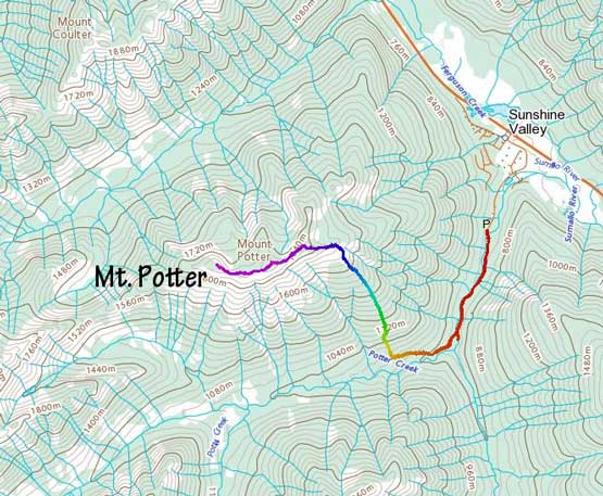
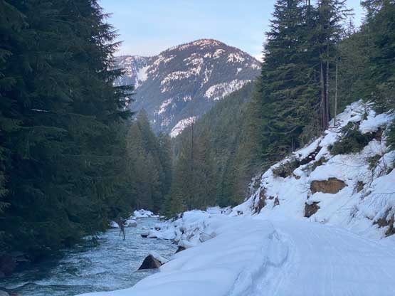
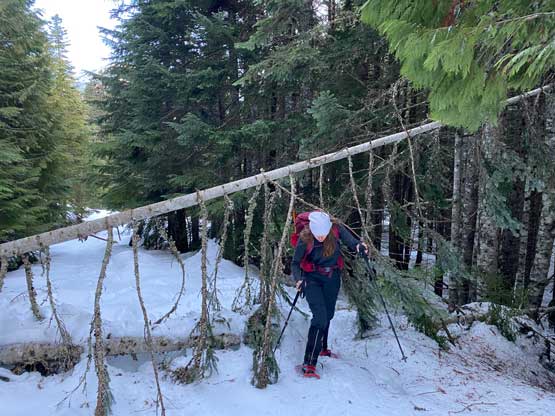
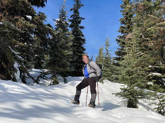
The first 1.5 km or so was plodding up a snow-covered FSR that had seen lots of snowmobile traffic recently, such that we did not need to don snowshoes. And then there came the river crossing. Alex and I had crossed this river one time in April 2020 en route to Mt. Forddred and Mt. Green and surprisingly the river looked to be considerably higher this time. I did not get it as we had not seen a major rain event but oh well. We actually backtracked to check out a downed log bridging the creek but it looked a tad sketchy to a few of us, so the final decision was to just embrace the fast-flowing river at the normal crossing point. It turned out to be worse than appeared with the deepest spot no higher than thigh level, and the water was not very cold neither. Vlad and Holly were smart enough to bring towels so we all dried ourselves before putting the boots back on. The deactivated Potter Creek FSR had not seen any recent traffic but appeared well covered by snow, and the snowshoes had to be donned right from the creek.

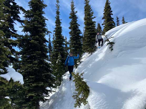
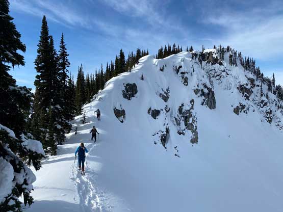
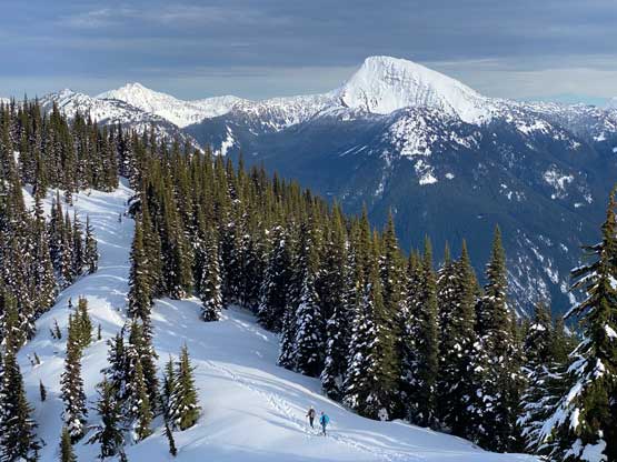
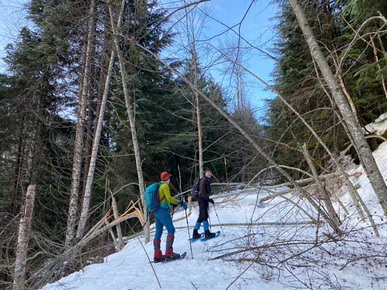
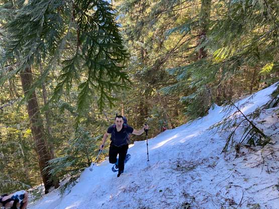
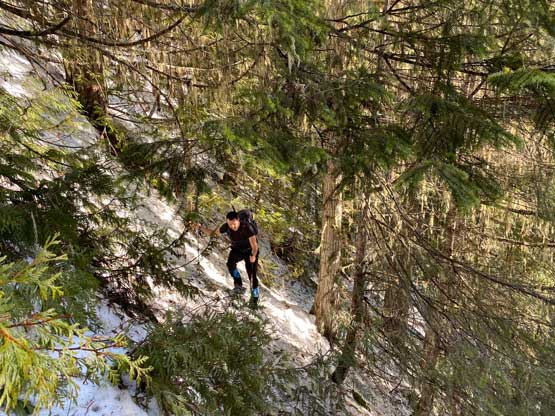
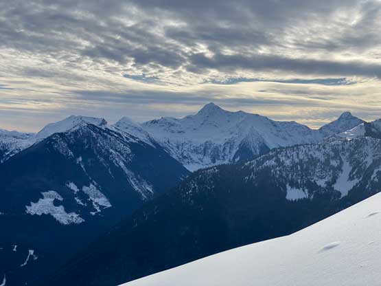
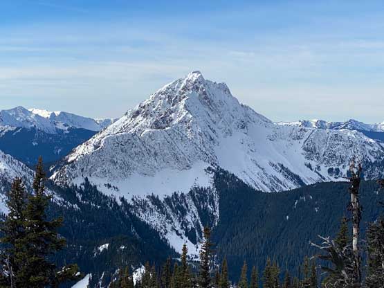
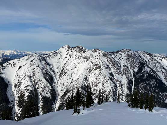
Potter Creek FSR had been deactivated for a long time and seriously chocked with alders. Thankfully we had lots of low-elevation snow to cover them. We did have to deal with a few short stretches of bushwhacking on this road, but nothing really worth noting. About 1 km and 100 m elevation gain later we bailed the road into the forest and from here onward we had just under 1000 vertical meters grunt to reach the east ridge. The crux came at around 950-1150 m elevation where we were forced to weave around some bluffs and the terrain grade was sustained 35-40 degrees, though nothing compared to Mt. Coulter that we did two years ago. Above 1150 m the terrain started to become quite gradual and monotonous and the views did not open up until 1600 m, about 150 m under the east ridge. The temperature felt more like May than January and we took another long break to soak in the views and also to regroup.


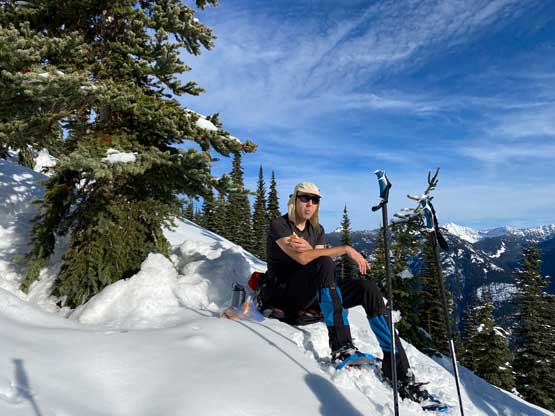
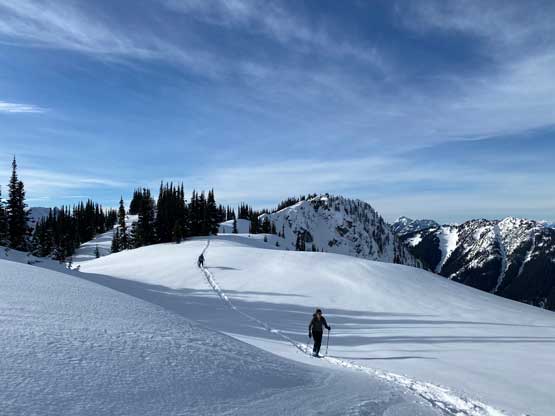
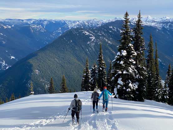
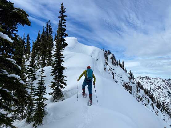
Chris then plodded ahead to lay a track onto the east ridge while I took over, laying the track to just under the eastern sub-summit. I checked the GPS and made the decision to bypass the very top of that sub-peak, which was the correct call. It’s then a short ascent to the officially-named eastern summit, followed by a long and more complicated traverse to the higher west summit. The west summit was only 5 m higher but even if it’s only 1 foot higher it’s still higher, so the four peak-baggers here had to tag it. Holly opted to take a longer break on the lower east summit since she didn’t care that much about peak-bagging. The summit ridge of the west peak had some cool cornices scenery and the summit had some slightly more open views.

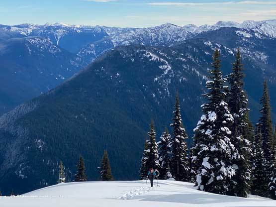


The ascent had taken much longer than anticipated so we didn’t linger too long. We took another break once getting back to the east peak, then basically just followed our own tracks down. The 1000-m plunge down into the valley was sure hard on the knees as the snow was not the best for downhill snowshoeing, with breakable crust and unexpected weak spots in various places. The strategy was to just focus on one step at a time and eventually we would get there. The river crossing was not much higher than in the morning and finally the road-walking back to the truck. Our round trip time was 8 hours 40 minutes on a fairly leisure pace. While driving home we stopped in Hope for snacks and then Abbotsford for gas and eventually got back to White Rock right in time for a (late) dinner.