Camelback Mountain
March 22, 2017
824m
Phoenix, AZ
The city of Phoenix in southern Arizona is a large urban area and the city is so large that it actually contains a few nice summits. Camelback Mountain is the tallest in this vicinity and rises above the urban floor for more than 1000 feet. By no doubt this is also the most popular peak in the state of Arizona so when I paid a visit in this past spring break vacation I knew I had to make an ascent of this iconic landmark even just for the sake of reason I’ve visited this city.

Camelback Mountain via Echo Canyon. GPX DL
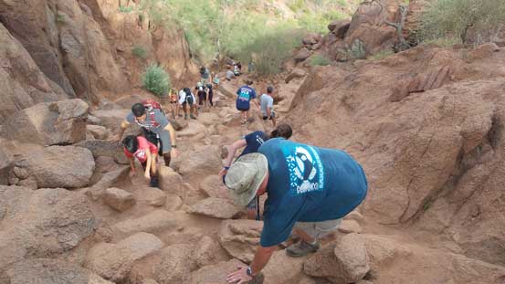
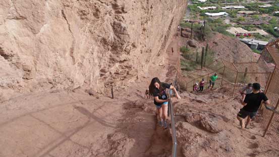
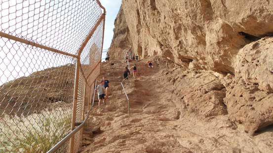
The crux is finding a parking spot at Echo Canyon trail-head and then squeezing through the hordes of people at the start, but once you made through these sections the ascent is actually quite enjoyable. The lower 1/3 of this trail skirts around the side of a named feature called The Praying Monk and then went up a slabby staircase with the aiding of chains. It’s definitely not a walk in a park with the “scrambling” factors thrown in here and there.
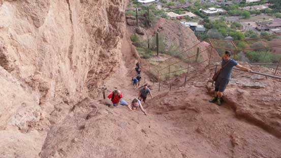
Other hikers scrambling up the slabby crux
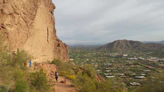
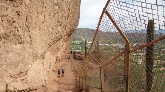
Walking underneath some good-sized cliffs

As typical as it goes..
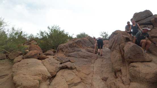
Higher up the trail transitions to mostly a boulder-hoping game which lasts all the way to the summit. The path is wide enough for the 2-way traffics to squeeze by and again, scramblers will find it enjoyable but hikers likely not. Before realizing I had joined the hordes on the summit celebration and needless to say, it’s difficult to even find a place to sit down so after some obligatory photos I soon went down.
Almost there!
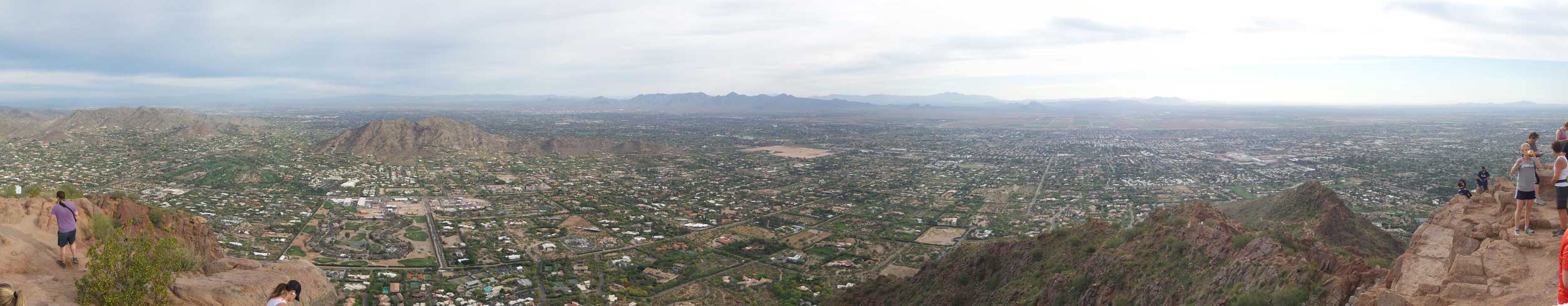
Partial summit panorama from Camelback Mountain. Click to view large size.
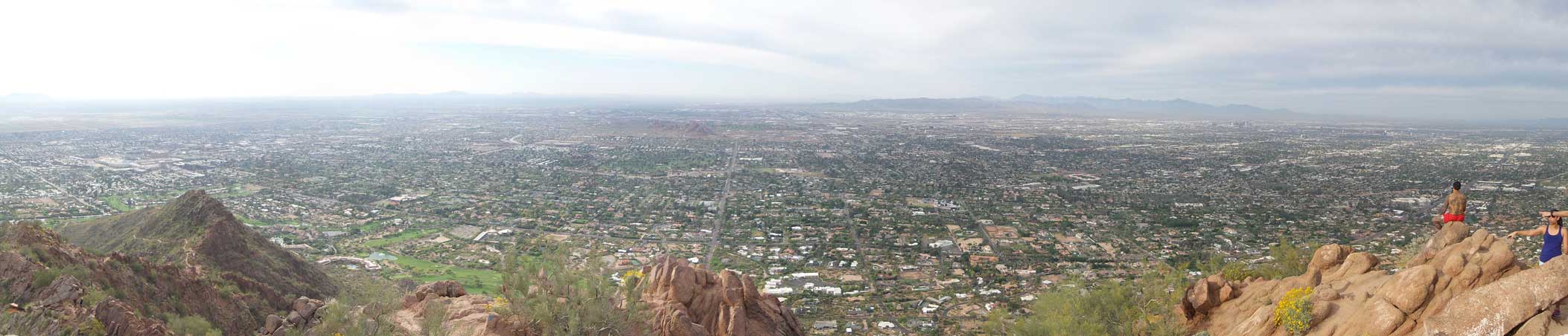
Partial summit panorama from Camelback Mountain. Click to view large size.
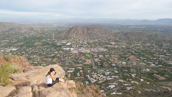
Another hiker enjoying the summit.
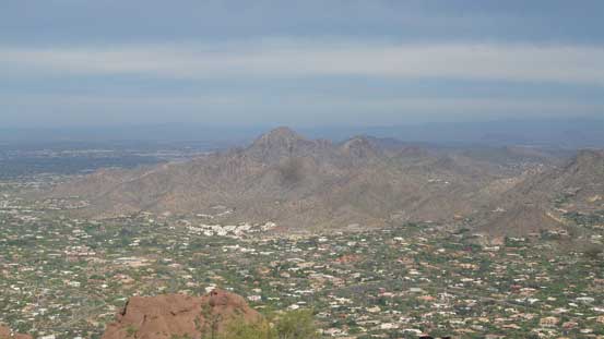
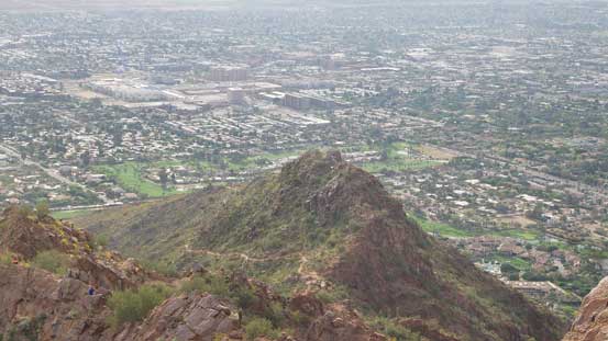
Piestewa Peak aka. Squak Peak
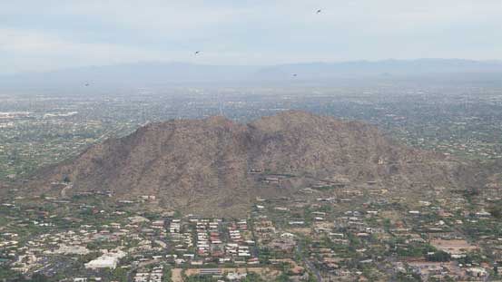
Just another low bump in the city of Phoenix. I’m too lazy to dig out its name.
There’s another popular trail running up the SE Ridge
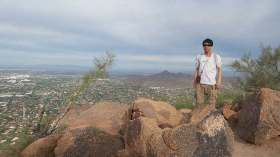
Me on the summit of Camelback Mountain

Just another view of the city of Phoenix.
The descent was uneventful except for passing hordes and hordes struggling with the boulders. I wore my light mountaineering boots which made this type of boulder-hoping easy peasy.
This picture very much sums up the descent
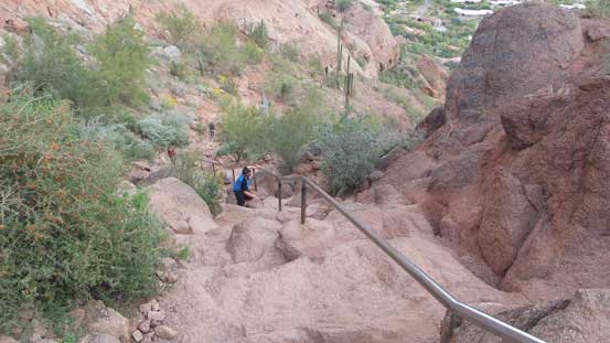
Handrails everywhere
This is the slabby crux area
Lots of structures..
Done the crux. Looking back

One last view before heading back to car.
I did not remember what my round trip time was nor do I really care about that. To sums it up it’s a “short” outing and I certainly could have done it without even carrying a backpack.. Earlier in this trip I had made a decision to drive back home via the state of California mainly to dodge the low pressure system hovering in Utah, and having a whole day ahead of schedule I turned my attention to Joshua Trees National Park which isn’t very far away from Phoenix.
