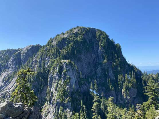
Runner Peak
July 29, 2021
1370m
North Shore Mountains, BC
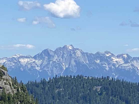
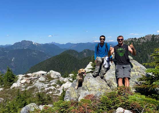
Runner Peak is a small but pointy summit buried behind Mt. Seymour on the north side and is much less frequently ascended. I think it has gained a lot of attention and popularities these years especially given the inclusion in the Bagger Challenge list but regardless the list this is a decent objective off the beaten path. I had thought about to make this a winter ascent but such required some critical conditions and once the desired conditions arrived I always ended up on some (bigger) objectives. This peak can also be a pleasant scramble in summer and doing it this way had virtually zero risk for the experienced. Matt J. happened to need this peak for his Bagger Challenge thing and I decided to join at the last minute. We made the decision while hiking Leading Peak the day before.
Matt had been all over the places in Mt. Seymour area over the past 20 years whereas I had never gone past Pump Peak in the summer time so all I needed was to follow his lead. Matt said that we only needed a Cliff bar and a water bottle as the trip would only be 2.5 hours long. I was not as fast as him but I decided to go light as well, carrying a bit of food, water and sunscreen in my 20 L pack, one trekking pole and nothing else. We met in North Vancouver at around 10 am so for once in a while we enjoyed a day-trip that did not require setting up a wake-up alarm. The drive up Mt. Seymour parkway was uneventful. The parking lot was neither busy nor buggy.

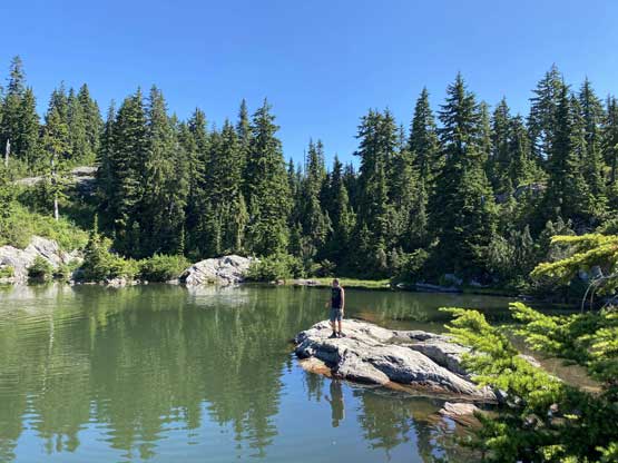
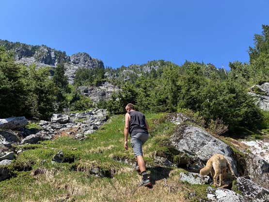
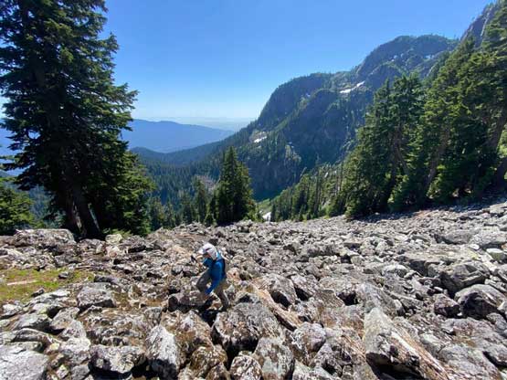
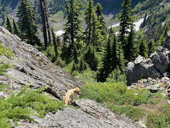
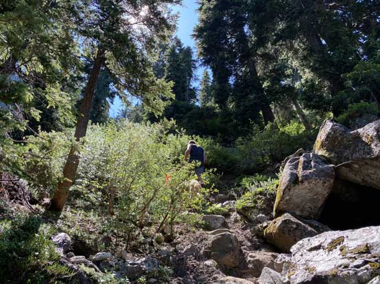
We made the spontaneous decision to take Mystery Lake trail instead of the main Mt. Seymour trail and this provided some variety. We continued passed the lake on the east side and ascended to the very top of Brockton Point. The actual summit of that thing is at the top of a chairlift so we went there and marked the “dot” green on our peakbagger app. Personally I did not count Brockton Point as a summit though. We then joined the main trail and ascended to a major split in the trail system. From there we took the Elsay Lake trail descending at least 200 m down into a major bowl. There was a lovely stream of running water to load up our water bottles just as Matt predicted and beyond that we easily traversed into the “SE Gully” that would eventually bring us to Runner/Seymour col.


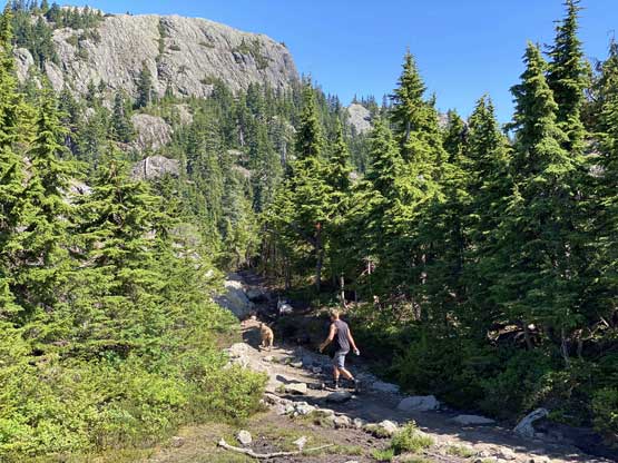


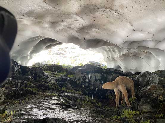
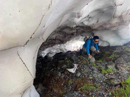
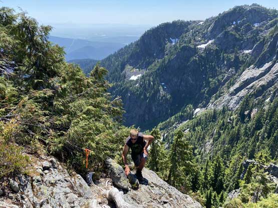
We stayed on the climber’s left side of the gully at first and discovered a cool snow cave feature. We went in and scrambled out of the other side and that was probably the most memorable moment of this trip. A short but steep down-climb then brought us into the gully proper. The ascent of this gully was not very pleasant with some loose rocks thrown in but the upper portion was not that bad as we were just scrambling on stable boulders.


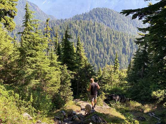
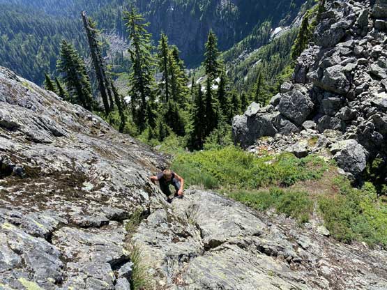
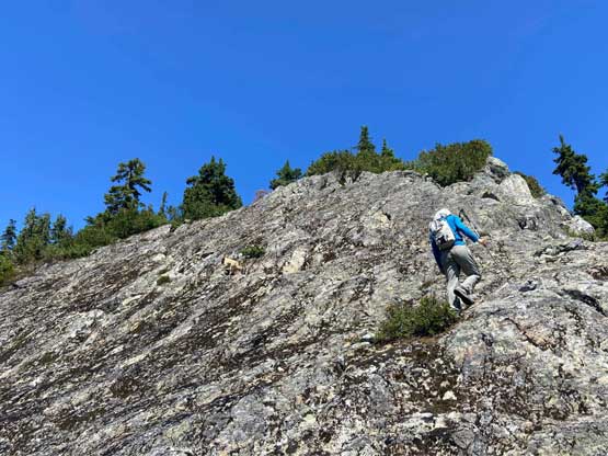
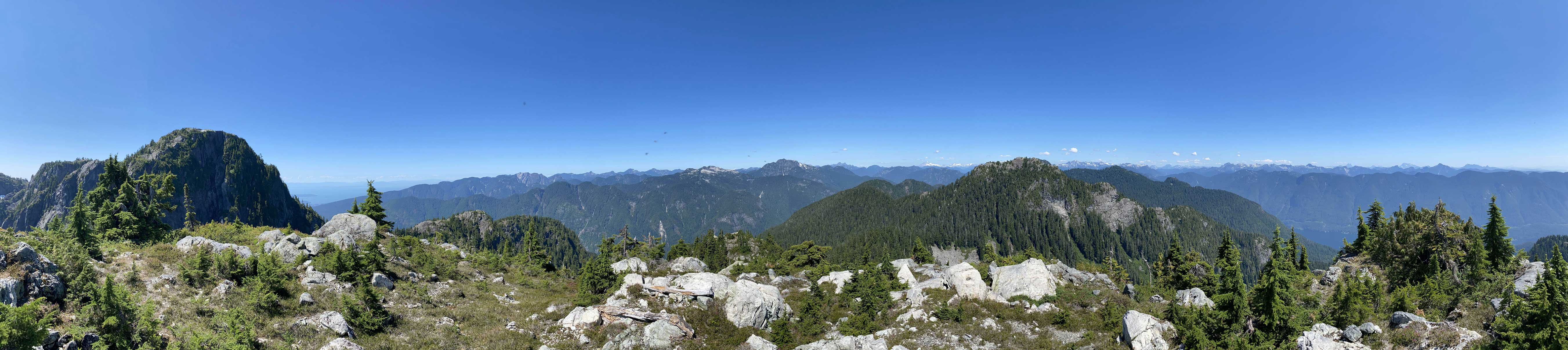
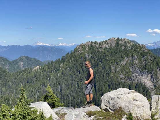
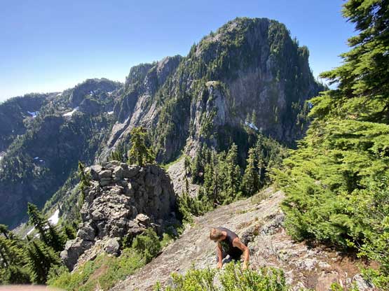
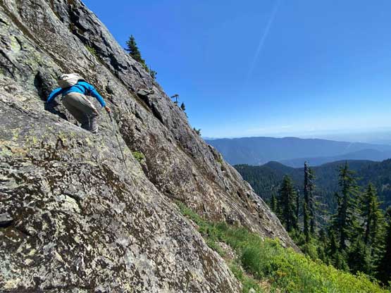
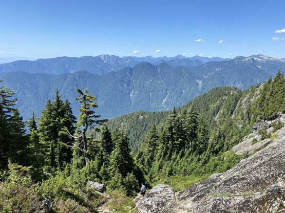
At just beyond Runner/Seymour col we joined the flagged path that came up from the other side, and scrambled up onto the south face of Runner Peak. The going was easy except for a 10-m section of 3rd class slabs. There were plenty of holds and the exposure was pretty tame, so in no time we were above the crux and shortly after we were on the summit. Matt spent at least 5 minutes trying to find that whiskey while I used that same time to eat the two sandwiches that I brought up. The day’s longer and hotter than expected.


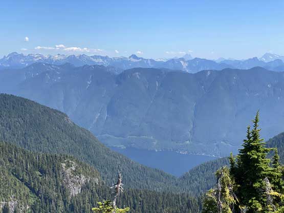


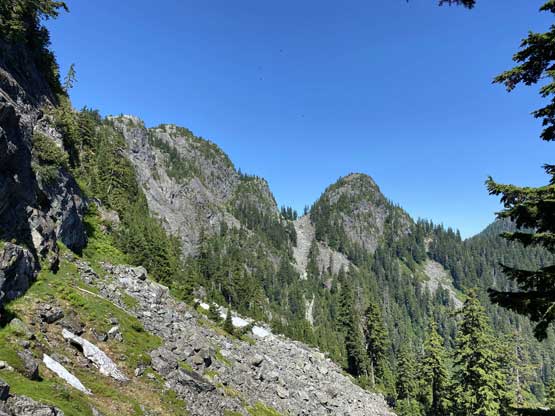
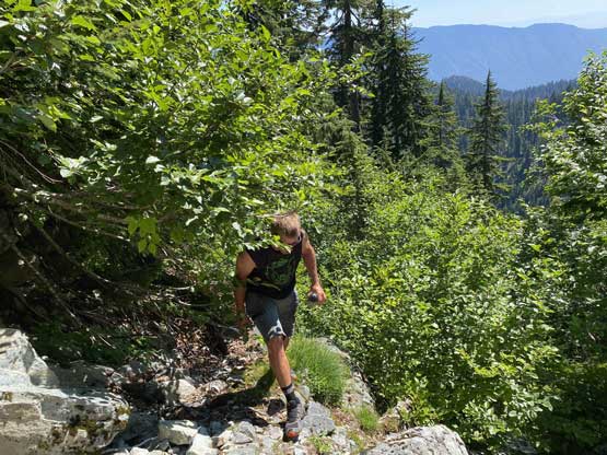
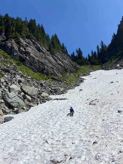
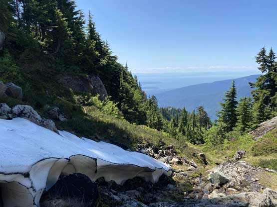
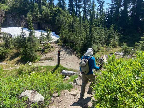
On the descent we opted to check out the “other side” to make a loop. There’s one snowfield on the west side of Runner/Seymour col but the glissade was bit too bumpy and fast for my like. At the bottom of the snowfield we found the trail and followed it around the west side of Mt. Seymour with some major up-and-downs. The re-ascent towards Seymour/Tim Jones col was soul-crushing in this heat but we found another (smaller) stream of cold water to fill up the bottles. The rest of the descent from Tim Jones Peak back out via the main trail was rather uneventful. I eventually sped up a little bit but still couldn’t catch up with Matt’s pace.


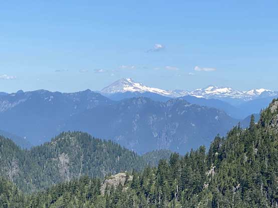
The round trip time turned out to be 4.5 hours and I probably had sweated over a litre of liquid but with those two streams to fill up the water bottles it wasn’t that bad. Overall this was a short and fun outing and I can definitely see me exploring some other peaks in the North Shore in summer time.
