Mount Conkle
April 28, 2024
937m
Summerland, BC
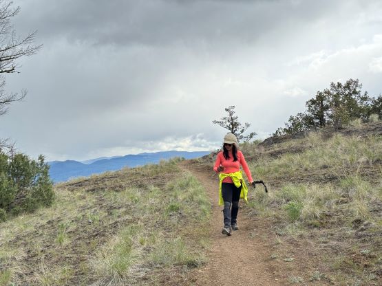
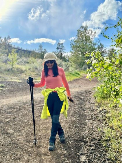
Mt. Conkle is one of the handful officially-named hills in the immediate vicinity of Summerland in the middle of Okanagan Valley. There are literally a maze of trails on all flanks of this “mountain”, mostly built by the bikers but those trails can also be used for hiking. Kate and I did this hike as the 4th objective of our Okanagan Valley slam. The day was getting late but the weather magically improved and we were treated with the best views of the day from this unexpected outing. Among all of these trails I opted to drive us to the north-east starting point on Fenwick Road. The last 200 m was gated but there’s a designated parking lot for hikers.
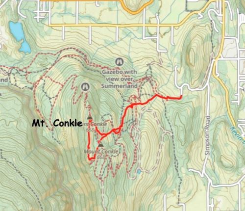
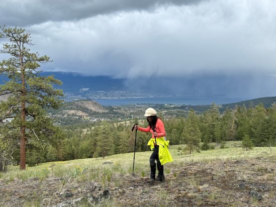
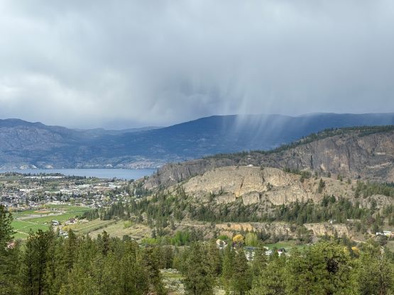
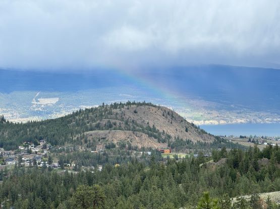
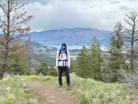
Due to the maze of trails I ended up having to consult with the GPS screen for every few minutes to make sure we kept our bearing correct. We mostly picked a path that gave the most direct attack and even took numerous short-cuts through open grass fields as the trails were doing some unnecessarily long switchbacks. The weather was drizzling when we started the hike but the rain stopped quickly and even some blue skies showed up. We sped things up by taking a major short-cut bypassing a bump at 900 m elevation, and then followed the obvious MTB trails to the north (supposedly true) summit. There are a few high points with the same contour lines on the topo map so I led us traversing across all of them for about 1 km due south along the ridge so we could definitely claim the success. I was not expecting much from this ridge traverse because the true summit was rather mediocre, but we actually got better views on this ridge.


On the descent we again, took numerous short-cuts through open grass fields instead of following the designated trails, and finished the round trip in 1.5 hours. There were still a couple hours of daylight time, and we still had energy to spare so the final decision was made to include Giant’s Head as well.