Mount Lemmon
March 20, 2017
2791m
Tucson / Santa Catalina Mountains, AZ
The broad and dome-shaped Mt. Lemmon is the highest peak in the Santa Catalina Mountains of southern Arizona. It towers above the city of Tucson for more than 2000 vertical meters and is the second highest peak in the vicinity, next to Mt. Wrightson to the south. What makes the Santa Catalina peaks interesting is the “sky island” feature due to the unique geology and climate. Unlike the tall peaks in the Pacific NW which has steep, forested lower flanks but barren alpine landscape, the upper mountain of Mt. Lemmon has densely forested ecosystem but the lower aspects are nothing but the barren Sonoran Desert.
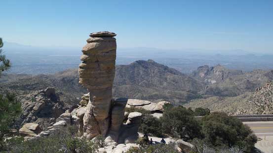
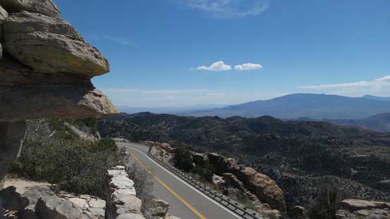
Thank to the built of Mt. Lemmon Highway there’s a paved road heading all the way to the summit. In March the last couple miles are still closed due to snow but considering the length of this highway (more than 20 miles) the extend of which one can drive up is quite amazing. For that matter much of the ascent would be motorized. There are lots of smaller peaks along this highway that I checked off as side-trip but in this trip report I’m only focusing on the part of this scenic drive, along with the final stretch to Mt. Lemmon’s summit.
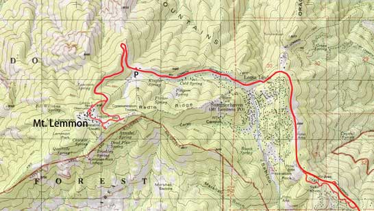
Mt. Lemmon via Mt. Lemmon Highway. GPX DL
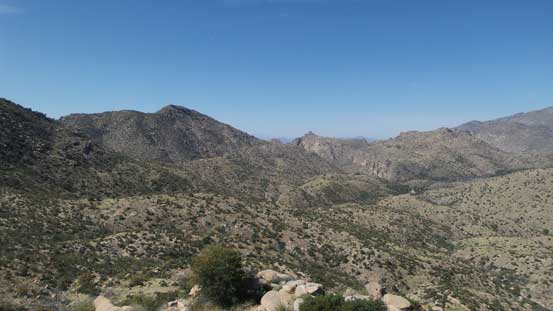
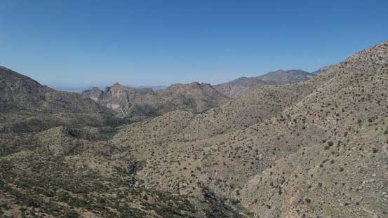
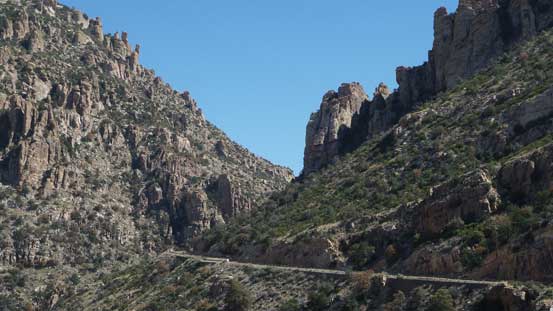
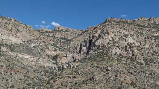
One thing worth noting that Catalina Highway is on the far NE side of the city so from where I stayed (Super 8 Motel) the first 40 minutes or so was spent crossing the entire stretch of this city. Thankfully this isn’t a super busy metro area. After a usual breakfast in one of the McDonalds I resumed the drive ascending onto the hillside. The lower stretch of the highway was very scenic thank to the lack of vegetation and I took quite a few stops taking photos. The major ecological transition happens after Windy Point where the road climbs into the “sky island”.

A view from the earliest stop along the way.
Ascending into the mountains now.
This is looking down Bear Canyon from an earlier viewpoint
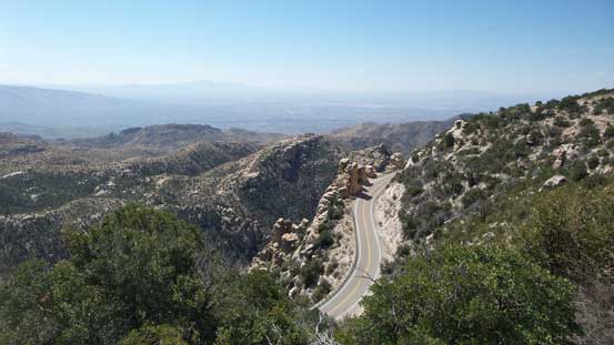
The scenic drive
Steep hill side and the typical desert landscape
Hitchcock Pinnacle which I also climbed on this day
A view from the base of Hitchcock Pinnacle.
Thimble Peak from Windy Point
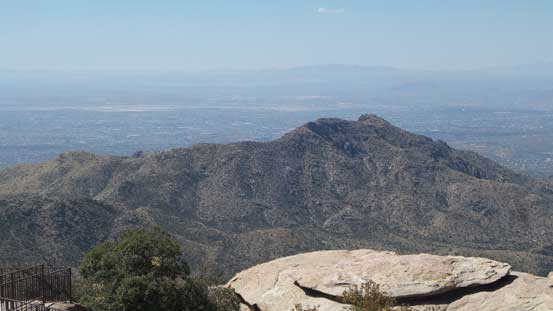
A closer look at Gibbon Mountain

Looking towards the distant Cathedral Rock

Green Mountain higher up
View from another stop after Windy Point
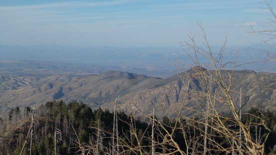
The next section was no longer as scenic as now I entered the forest, but this’s also where I took the few side detours checking off a few other peaks along the way. First of all I stopped at San Pedro Vista and hiked up Barnum Rock to Leopold Point. The roadside vista was pretty boring but the hike was well worth the effort. A couple miles further along the road I took the second stop and hiked up Kellogg Mountain and Mt. Bigelow with the latter being the second highest in Santa Catalina Mountains. Ironically the views from these two weren’t as good thank to the forest cover. The third stop was made near Spencer Canyon where I did a short bushwhack up Spencer Peak, and then I was finally on my way towards the highest destination.

Not much to see from San Pedro Vista

View from near Barnum Rock
Looking into San Pedro Valley from the summit of Mt. Bigelow
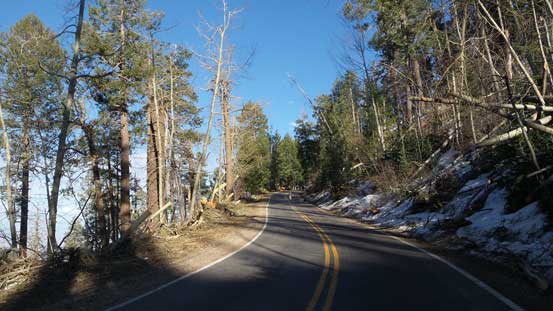
At this point I thought it’d be nothing fancier than driving to the summit, but as I suspected the road was closed at the ski area leaving about 2 miles of walking. Thankfully I did plan some contingencies so this wasn’t a problem, and after a quick gearing-up I soon started the hike. I followed the road for about 2/3 before making a short-cut up the broad, forested NE Ridge towards the summit. The forest looked open and free of snow so why not.
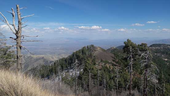
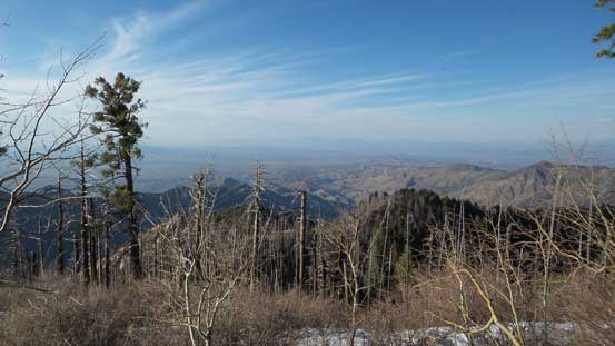
Lots of scenic viewpoints along the final walking stretch
This is the northern view
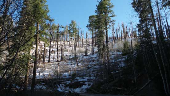
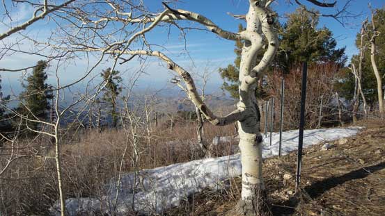
As you can see, there was still plenty of snow
Hiking up the road…
This short-cut turned out to be a good call as it’s indeed mostly easy travel and without much in terms of snow or bushwhack, and before realizing I was already on the summit. The highest point was difficult to determine and much of the summit plateau was fenced and forbidden. After snapping some photos I started to traverse around the fence and check things out and then one guy saw me from inside. After some brief talk he kindly offered me to go in and walk out via the road which should be much nicer than dealing with the bush again. And then while walking down the road I checked out a couple more viewpoints, and then watched sunset/dusk glow high up on the mountain.

Arriving at the summit plateau
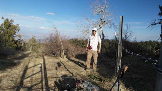
Me on the summit of Mt. Lemmon

The western view into Sonoran Desert
Looking north.
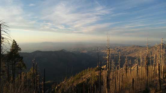
Oracle Ridge in the foreground
Walking around the fence to check things out
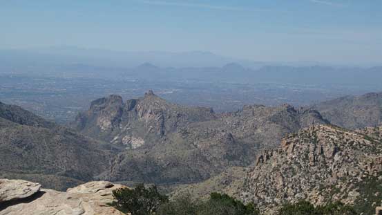
On the other side of the plateau now, got a good view looking south.
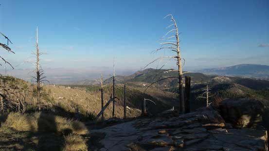
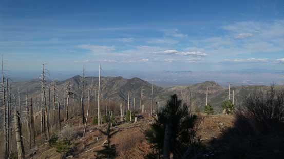
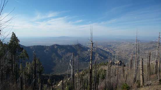
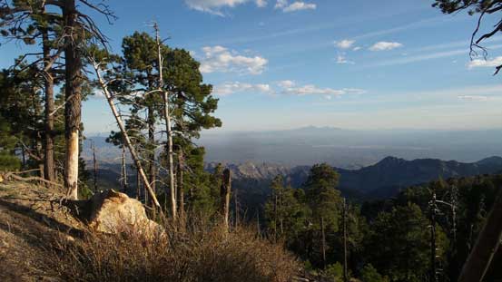
An expansive vista looking down at Mt. Bigelow and other Santa Catalina peaks
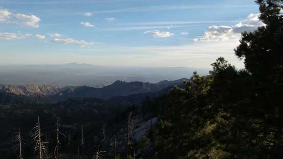
The southern horizon with Mt. Wrightson being the tallest

Mica Mountain and Rincon Peak

Mt. Bigelow
Zooming-in looking over Oracle Ridge
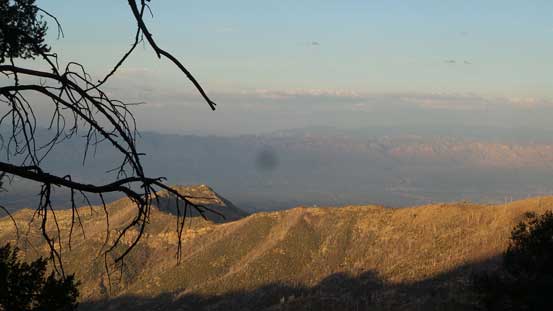
Started to see the evening colours on the northern horizon
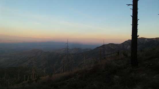
The dusk horizon!
Not wasting much time I soon started the drive down. This motorized descent would take a while but under the dusk horizon the views were incredibly scenic. All the tourists were gone too leaving me on my own and I could drive at a slower speed enjoying the setting. Too bad I was about 20 minutes late of sunset otherwise I would have stopped at Windy Point for the scenic show, but maybe next time. Darkness fell shortly after as I completely the descent into the Sonoran Desert floor. And then there went the evening routines before going back to the motel.
