Bald Mountain
October 11, 2016
1648m
Concrete / North Cascades Highway, WA
The name of Bald Mountain is not sexy, and in fact, this is already the 3rd “Bald Mountain” I’ve ascended. The first one was in the Purcells of British Columbia while the second one was in the NE United States. This one is down south in Washington state near the much-more-popular Sauk Mountain by the North Cascades Highway.
While its neighbour sees thousands of hikers in the prime season, I doubt if many folks would bother traversing over to Bald Mountain. The reason is simple. The summit is forested, lower than Sauk Mountain and requires off-trail travel and bushwhacking to get to. For dedicated peak-baggers like myself, those are not deterring factors and I even made the call to tag both summits together as a before-work trip. Earlier in the day I’d already ascended Sauk Mountain and watched sunrise from its summit, and now I was on my over to the second objective.
Sauk Mountain and Bald Mountain scramble route. GPX DL
My theoretical plan was to descend the NE Ridge of Sauk Mountain to the saddle between Sauk and Bald Mountains but upon close examination a few spots looked questionable. A bouldary/grassy bench on the east side did look fairly promising so that’s where I’d aim for, but even that, the descent was harder than anticipated mainly because the frozen ground and the layer of frost had made things very slippery. Traversing a couple steep grass slopes felt sketchy and I regretted not bringing the steel crampons in this trip. The scrambling wasn’t trivial neither with some down-sloping terrain to negotiate and required fair amount of patience.
Picking my way down the east face of Sauk Mountain

It’s down-sloping and very slippery…

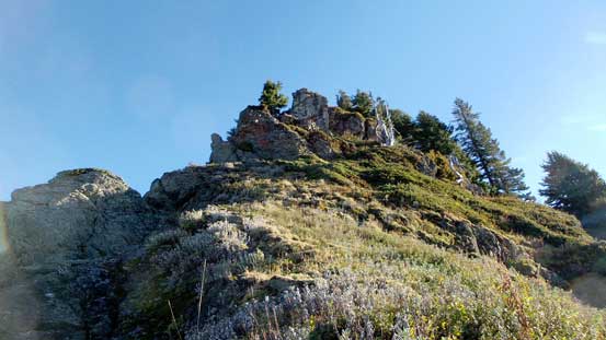
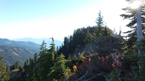
A look at my next objective – Bald Mountain
After safely traversing that grassy bench I rejoined the NE Ridge of Sauk Mountain and then followed it down to Sauk/Bald saddle. Fair amount of bushwhacking was encountered but nothing too ugly, and soon enough I was going up again. Following the SW Ridge of Bald Mountain I had to overcome some bushy spots, steep grassy slopes (frozen and slippery) and two rock bands which I circumvented on the climber’s right side. Near the false summit I started to encounter patchy snow and then there’s one short dip down to the false/true saddle before an easy plod to the true summit. The summit was forested with very limited views and that’s quite disappointing.
Joining the NE Ridge of Sauk Mountain again. It’s apparently that I couldn’t stay on the ridge crest.
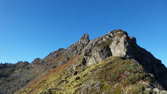
An idea of the typical bush along the ridge.

It’s not too bad..
One of the open stretches. Note the frost…

Looking down at Sauk Lake. There’s actually a trail going there.
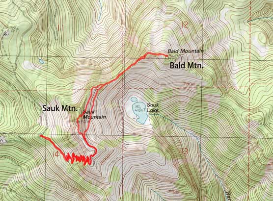
From an open area, looking back
One of the obstacles that I had to circumvent
The grassy slope was steeper than appeared in this photo, and slippery..
Finally made to the false summit, still a bit of ways to go.
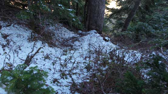
Fresh snow!!
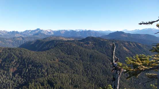
A view from the true summit. Other directions were mostly blocked by dense vegetation.
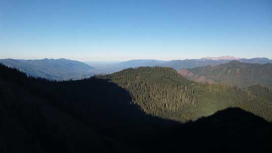
Looking deeply into the North Cascades. Eldorado Peak and others on the skyline.
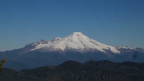
The iconic volcano – Mt. Baker
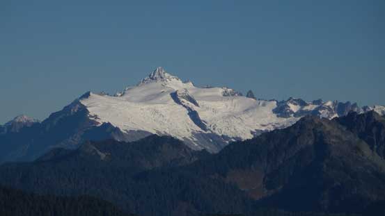
Another icon nearby – Mt. Shuksan
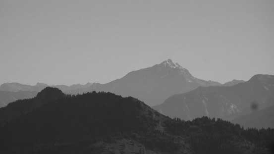
Jack Mountain

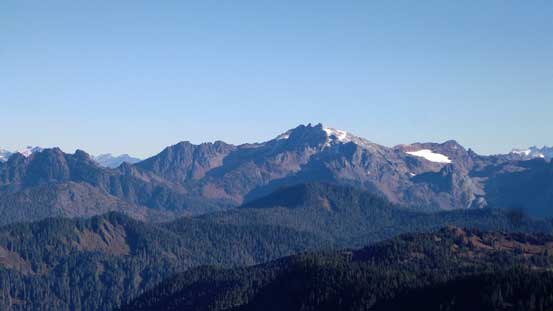
Twin Sisters Range

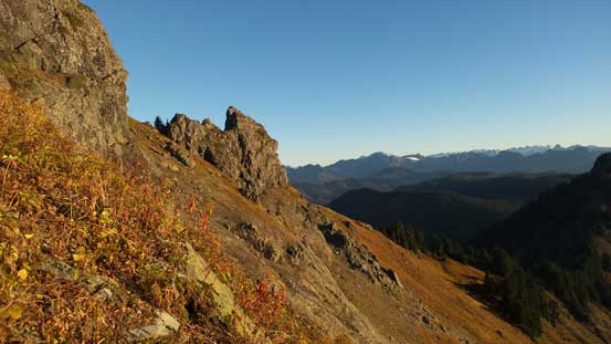
The summit crags on Sauk Mountain. The true summit is at center
Bacon Peak

A closer look at Mt. Baker

Glacier Peak on the horizon

Me on the summit of Bald Mountain.
I took a short break on the summit regathering some strength but I couldn’t linger too long. I had a time constraint to get back to Canada before 3 pm and apparently I didn’t do too well on time. To my great relief by now the sunny aspects were starting to defrost and that made some much-faster progress. Down the SW Ridge of Bald Mountain and then up the NE Ridge of Sauk Mountain I didn’t go as high as in the morning. Instead I started traversing as soon as spotting a neat grassy bench. The initial 100 m or so was still slippery and sketchy but at least short-lived, and after that I merged onto a boulder field. The boulders were almost completely dry now which sped things up, although the elevation regain back to the S. Ridge of Sauk Mountain did feel longer than what I remembered.

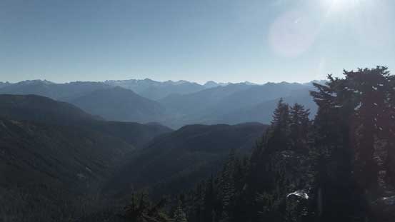
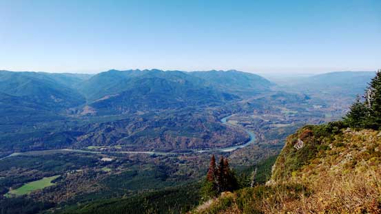
A look at the Skagit Valley
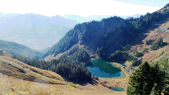
Sauk Lake and the deep cirque in the basin

Sauk Mountain is my previous objective. Now I had to go partway up it before traversing a bench

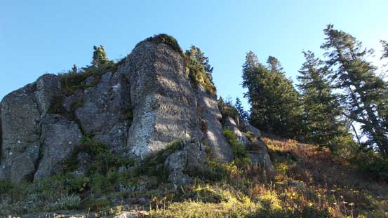
One of the few rock outcrops along the SW Ridge of Bald Mountain
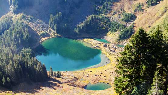
A closer look at Sauk Lake

Descending the SW Ridge of Bald Mountain

Plodding up the NE Ridge of Sauk Mountain now. It’s time to traverse this bench.

The start of this traverse was still slippery

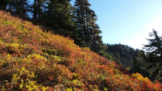
Neat fall colours!

Merging onto the boulder field.

Looking back at Bald Mountain
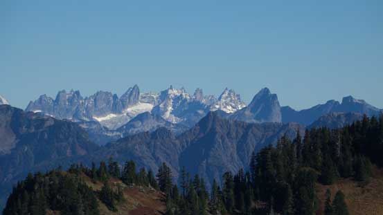
Mt. Terror is the tall spire left of center – the crown jewel of the southern Pickets

A closer look at Bacon Peak, with Mt. Blum poking behind its left shoulder.
The classics by Cascade Pass – Forbidden Peak (L) and Boston/Sahale massif (R)
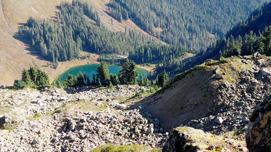
One last look at Sauk Lake
Once joining the trail I again, spent a few minutes switching footwear and then it’s time to descend the switch-backs. Wearing sneakers did make that trailed descent much faster and also easier on my feet and knees. Quite a few groups were still going up and the parking lot was about half-full (busy busy given it’s a chilly Tuesday)…

One last look at the summit crags on Sauk Mountain

Time to go down.
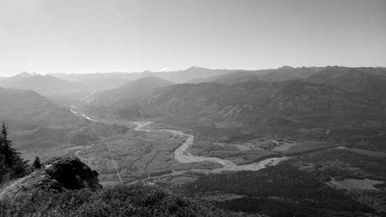
Looking south into the Sauk River Valley towards Darrington area
This is the Skagit River Valley and where the North Cascades Highway travels through

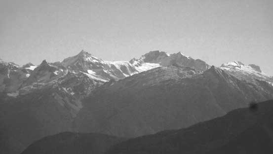
Eldorado Peak is always an eye-catching giant, also nearby Cascade Pass

This is that steep avalanche path that the trail descends
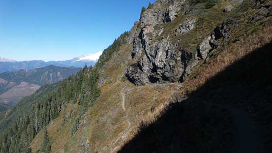
Looking sideway across shows the slope angle..

Another look at the Skagit Valley flats

The parking lot… Very high in elevation..

Lots and lots of switchbacks…
Now it’s about 12:10 pm – not late but not too early neither. Turning on the Jeep I went down that logging road immediately. It’s winding and narrow but thankfully I only met one car on his way up (easily passed without much of a problem). Down to the North Cascades Highway what’s left was just a boring road trip and I did manage to get back in time. In fact, the trip back was faster (probably because now with daylight I could drive faster) and I even earned some time to do my usual detour at Exit 276 for some gas and food before crossing the border.
