Snake Rock
April 26, 2021
62m
Pitt Meadows, BC
Snake Rock is one of the four officially-named highpoints in the vicinity of Pitt Meadows and for some reasons, is the one that appeals to me the most. Despite the lowly elevation this “peak” boasts some steep and bushy profiles and is guarded by private properties on all sides making an ascent an extremely rare thing. I’m sure most peak-baggers had never heard of Snake Rock and most would not dare to even think about an ascent, but I somehow thought this was a cool one, especially that it’s nowhere as easy as one might expect.
A couple months ago I had made an attempt via private roads on the west side but turned around due to an not-so-friendly confrontation with the property’s owner. Because I was caught on the way in the trip was doomed to be a fail. I could not expect Snake Rock being my second ever failure in the Coast Mountains since I moved here in 2015 but it sure was… A few months later I received some messages on Instagram from a fellow peak-bagger asking for beta about Snake Rock. My words were that the private property issues on the west side roads should not be ignored. Shane came up with a solution to attack from the north from Snake Rock Dyke. I don’t think this can completely avoid stepping into their private property but at least there’s no sign of “no trespassing” anywhere on that side and it’s much more hidden from view, so the chance of being detected is reasonably low. For those aiming for a guaranteed shot then my suggestion is to do it at midnight, but the view along this dyke is worth to see in daylight.
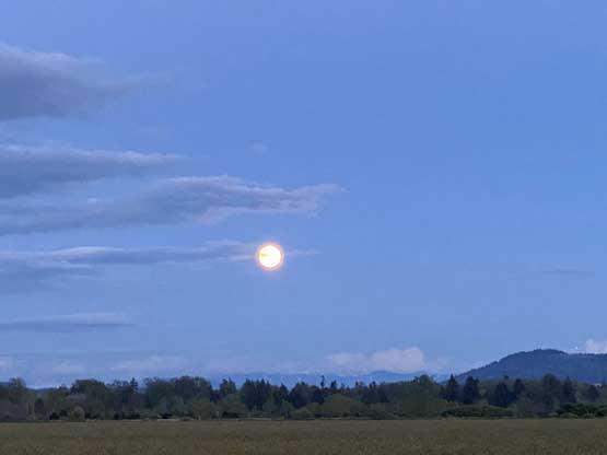
I pulled the very spontaneous trigger while driving back from Pemberton after a snowshoe ascent of Mt. Ronayne. I don’t think anyone would ever expect to do Mt. Ronayne (Birkenhead Lake area) and Snake Rock (Pitt Meadows of Fraser Valley) on the same day but I guess I just happened to be that exception. The weather was clearing to the west and south making some gorgeous evening lightings and I had a few hours of daylight time to kill. The weather forecast for the following week was rather gross, so I decided to at least check out the north approach. The drive from North Vancouver across the metro areas to Pitt Meadows was a bit more complicated than I thought but at least the phone’s doing the work so I didn’t have to think.

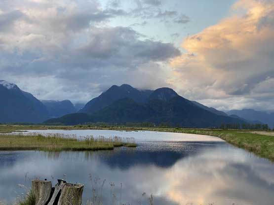
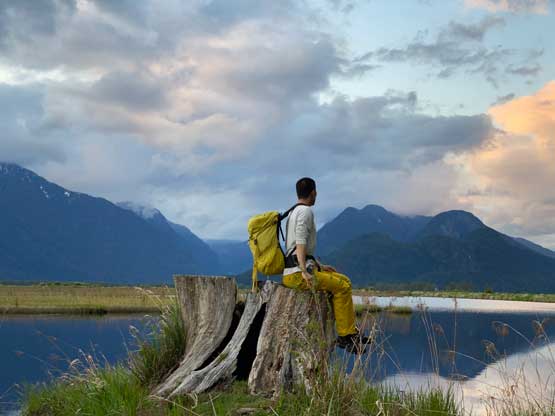
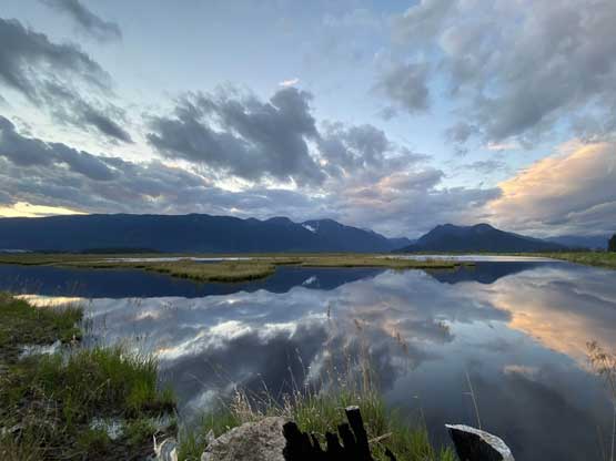
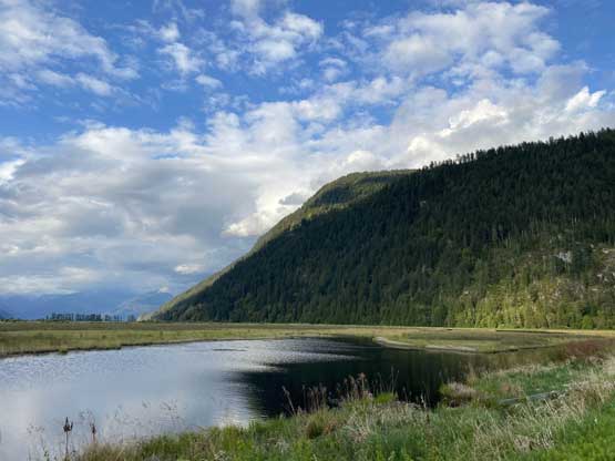
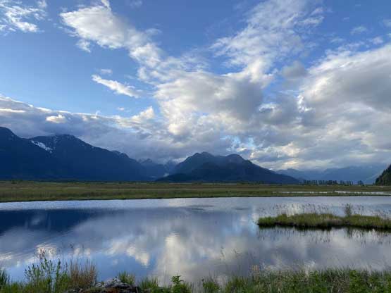
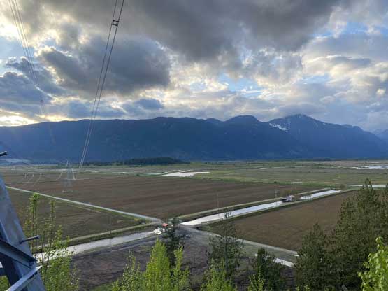
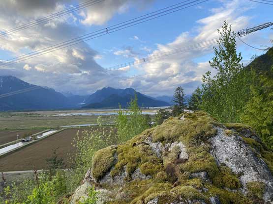
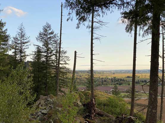
I did not come here expecting an established trail system on Snake Rock Dyke so I was a bit surprised to see half a dozen vehicles parked at the spot. This was a pleasant surprise so I would not complain. The 1.5 km walk across the dyke was also decently scenic with wetlands and the inaccessible peaks behind Pitt River in view. I kept looking south towards the rock and happy to see no sign of “private property” from this side.


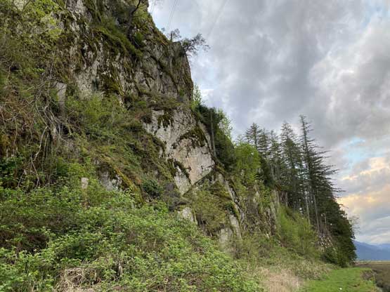
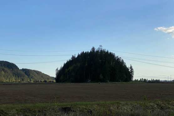
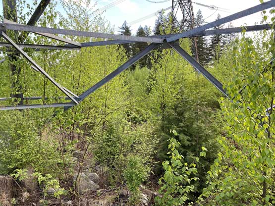
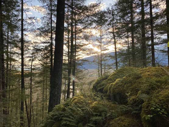
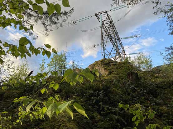
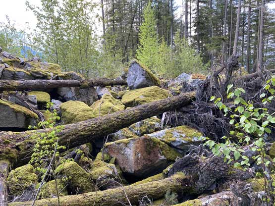
There was over half a kilometer’s cross-country travel from the end of the dyke to the base of Snake Rock on what seemed like “private roads” so I covered that stretch as quickly as possible. I regretted for wearing bright yellow and orange on this walk but there’s nothing I could do at this point. Thankfully nobody detected me in the next 10 minutes and I successfully bailed into the bush at the base of the rock. I decided to take the longer but gentler north ridge partially for the reason that this route could gain me some canopy cover at the fastest time. The bushwhack at the start was easier than it looked and I even picked up a game trail here and there. However, the easiness of the going soon ended as I approached a stretch of mess with a shit ton of blackberry and other brambles type of bushes. This was due to the clear-cutting for the construction of a power line. Beyond that I encountered some undulating terrain, lots of slippery boulders and logs and a few more stretches of bushwhacking in brambles to finally stand on the true summit. This was certainly not an “easy win” as I might have expected.


On the descent I refused to deal with those bushwhacking as I didn’t even wear proper hiking shoes, so opted to take a chance on the steep east face. The side sure did not look very easily but I kept hoping to be able to find a line down, and this time I won the gamble. The route that got me back down into the farm was much more efficient with considerably less bushwhacking. I thought about to take some short-cuts in the farm to shorten the overall distance, but opted to retrace my route back out as I agreed that to be on this route had the least chance of being discovered. The round trip distance clocked to near 5 km so that’s another surprise. I finished the hike right after sunset and drove home afterwards for yet another productive day of peak-bagging.