“Pushki Peak”, “Silent Hub Peak”, “Tandem Peak” and “Outreach Peak”
July 16, 2026
2542m
Pemberton, BC
These are all unofficially named peaks on the east side of Van Horlick Creek which is accessed by Van Horlick FSR from Duffey Lake Road. I have no clue about the origin of these names but without using these stupid “bivouac names” the entire Duffey zone would have only a handful named peaks, so what else could we do. “Silent Hub Peak” is the highest and the most prominent of those but “Outreach Peak” also boasts over 300 m prominence. These 4 peaks together makes a natural loop traverse but for some reasons the loop itself is seldom done. “Silent Hub Peak” sees the most amount of traffic. Tanja made the suggestion and I thought the idea was brilliant especially since Tanja owns a trusty 4Runner and could get us to the Pushki Lake’s trail-head. The weather forecast was not looking promisingly with chances of thunderstorms in the afternoon, but at least the morning was looking fine.
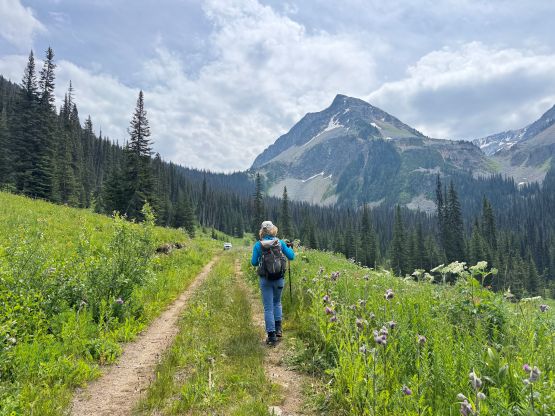
To take advantage of the weather window I decided for us to leave Squamish at 3 AM, which meant I would have to get up at 1:20 AM in Surrey. I thought about car-camping in Squamish but didn’t bother. As a result I was extremely tired and slept through most of the drive when Tanja’s behind the wheel. The 4×4 bypass of the bridge-out at the start of the final spur road was indeed for serious off-roading vehicles only. There’s no chance for my Subaru to go through that creek so Tanja’s 4Runner saved us at least 4 km of walking each way with fair amount of elevation gain. The vegetation was unfortunately damp and the mosquitoes were out on full force. There were at least 50 mosquitoes swirling around us at the trail-head so the stoke level wasn’t quite high.
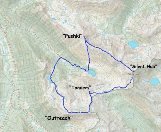
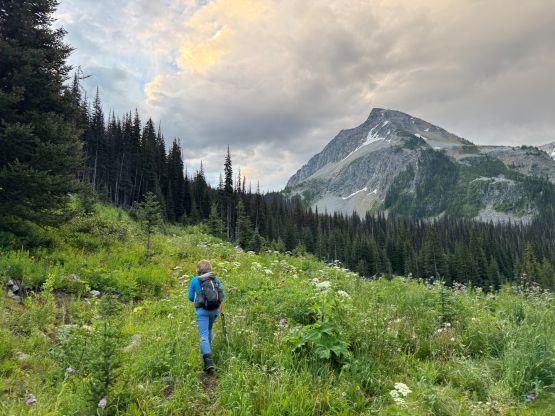
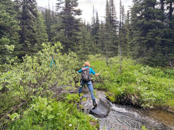
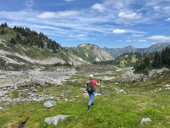
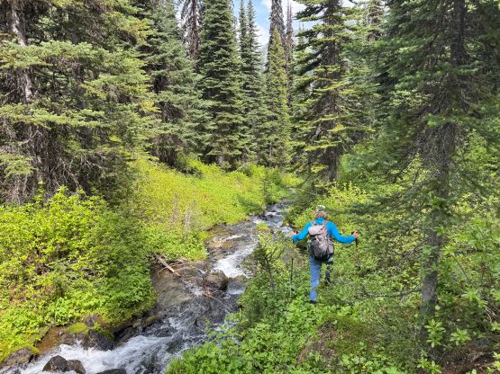
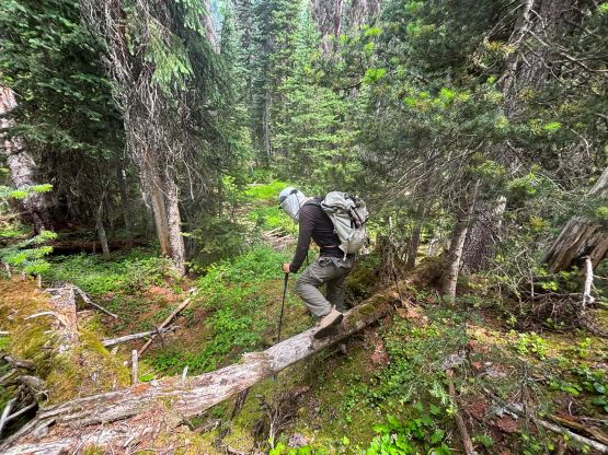
This was Tanja’s trip after all so I happily followed her from behind. The trail to Pushki Lake was decently overgrown and the vegetation was not the driest, which made the experience sort of miserable. The trail was easy to follow so in short time we were at the outflow of Pushki Lake. We crossed the creek (on boulders and logs) twice though, so it might be possible to just stay on the north side the entire way. The first objective was “Pushki Peak” which was about 600 m gain straight the hell up from the lake. Tanja led most of the way but I was able to keep up with the fast-ish pace. The lower slope was mostly steep grass and the mosquitoes were absolutely horrendous and they even chased us all the way up onto the summit ridge. Thankfully the wind kind of picked up on the upper route so we were able to actually enjoy the summit for a few minutes. There’s a weather system to the north but it wasn’t really approaching us.
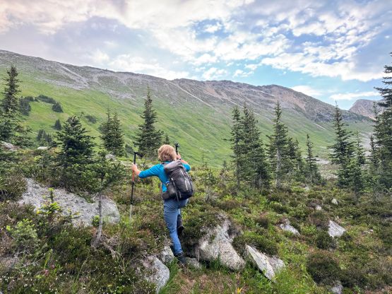
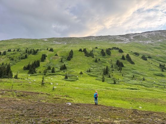
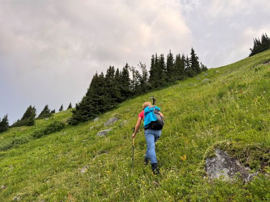
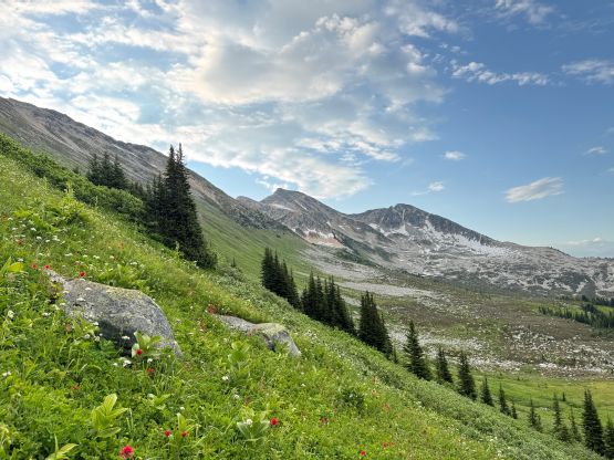
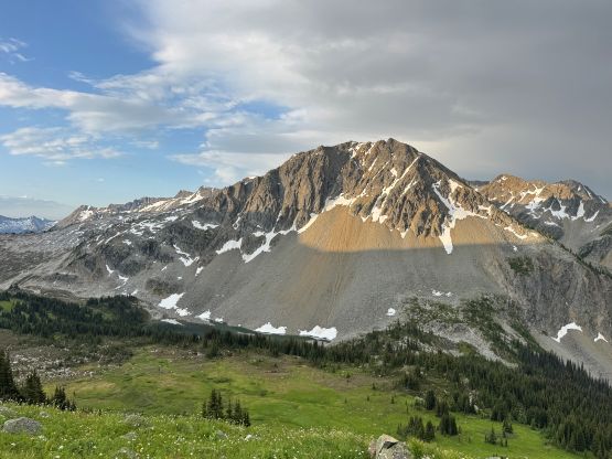
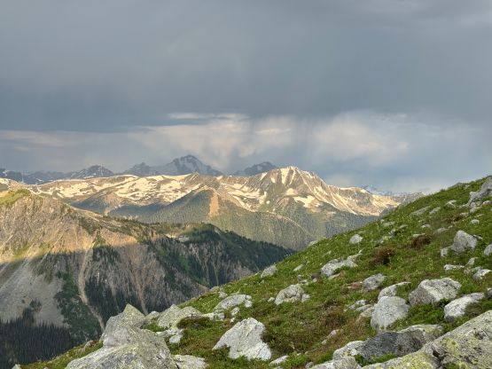
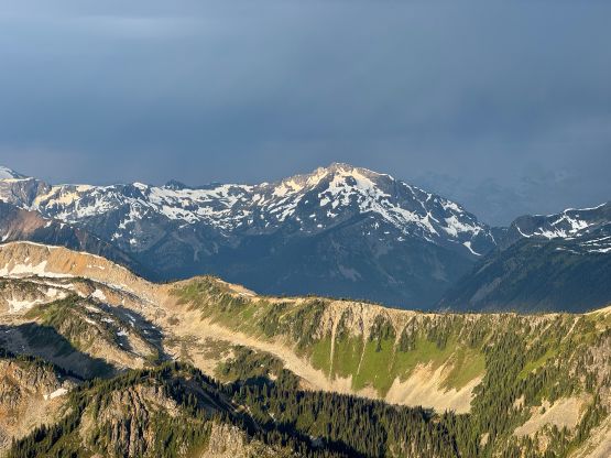
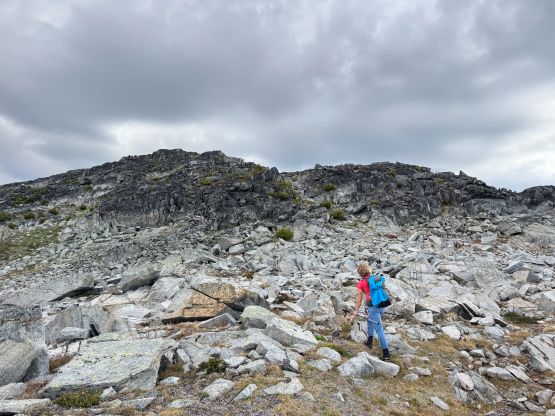
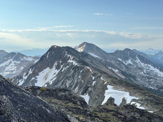
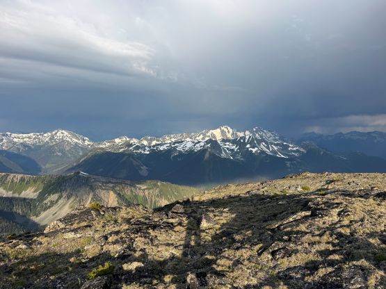
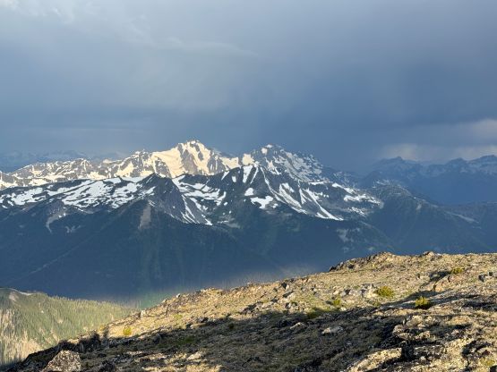
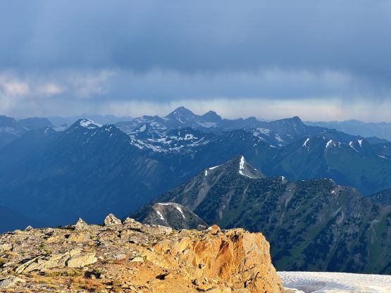
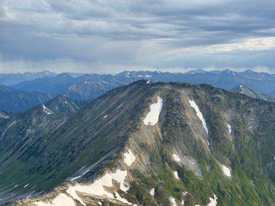
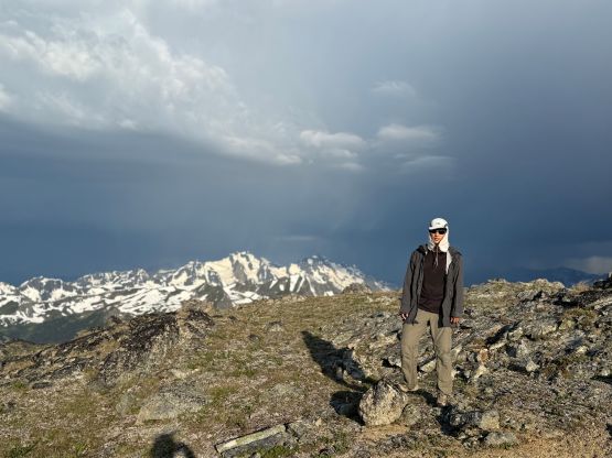
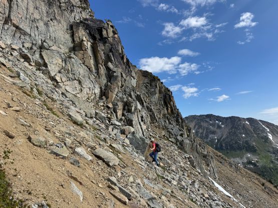
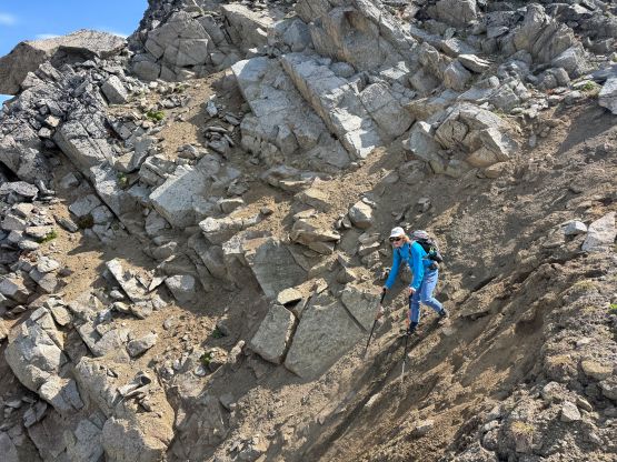
The next objective was “Silent Hub Peak” and the plan was to mostly follow the connecting ridge, for a long ways. There’s one intermediate bump in the middle which does not boast over 100 m prominence, and I wanted to traverse around it on the south side to minimize elevation gain and loss. The ridge traverse was mostly “hiking” except for working around the south side of that bump, which required a lot of steep side-hilling and some hands-on scrambling. The biggest drop was actually after that bump and the summit of “Silent Hub Peak” required about 200 m elevation gain from the col. This part was slower than I thought and seemed to drag on for a long while, but at least the views were improving. “Silent Hub Peak” itself is definitely a worthy destination and offered some neat views of the Stein Valley giants.
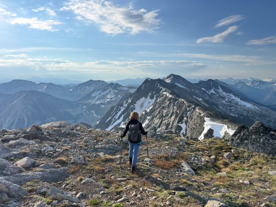
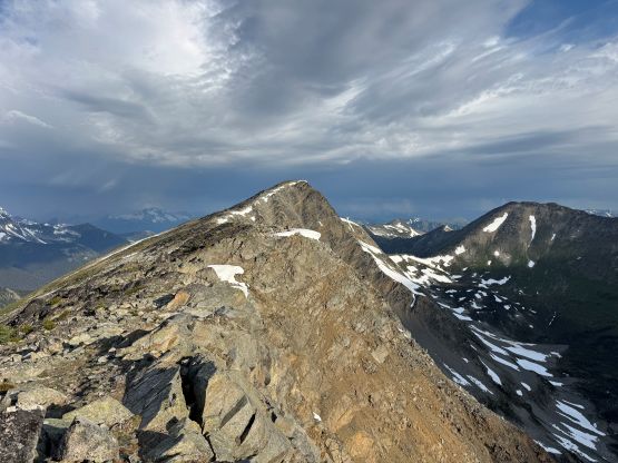
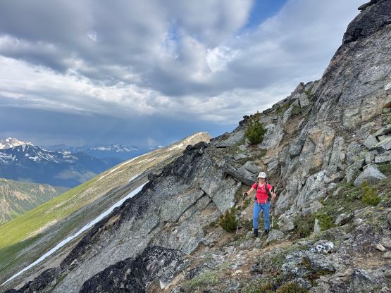
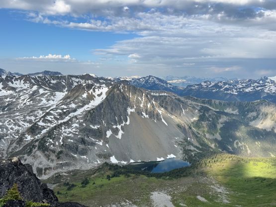
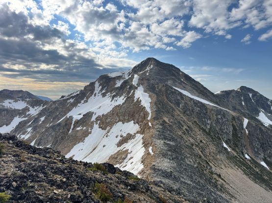
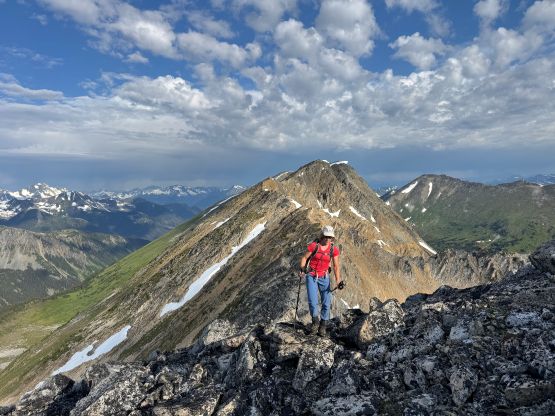
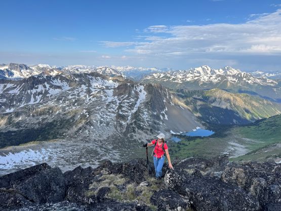
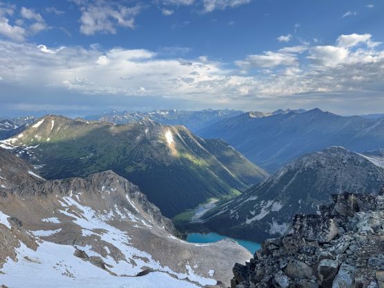
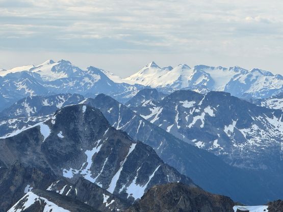
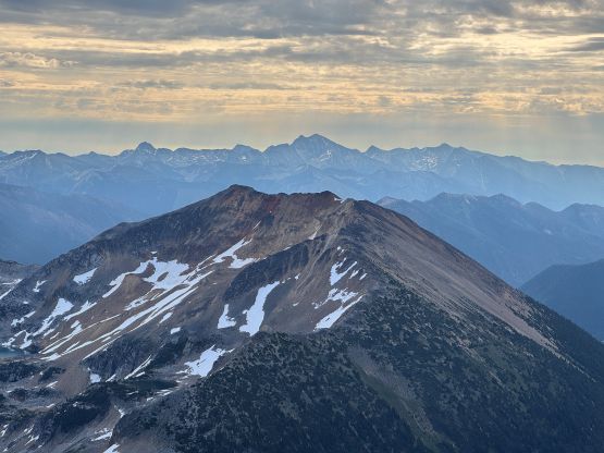
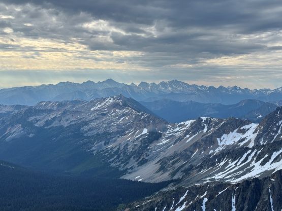
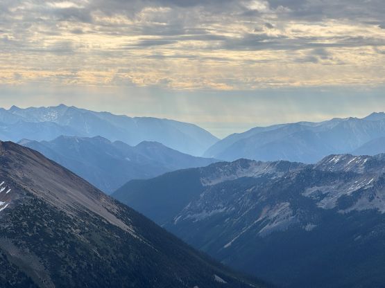
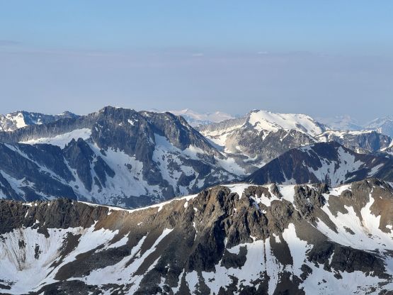
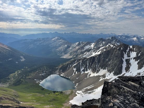
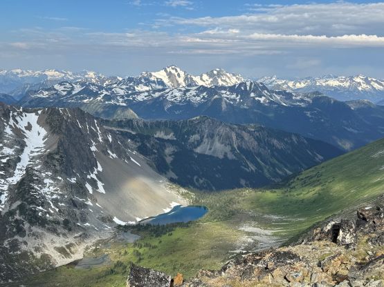
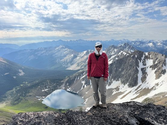
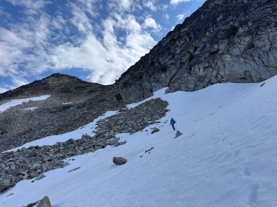
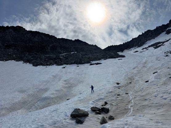
We then turned our attention to the peaks south of us but the first business was to descend a long ways down towards Silent Hub/Tendam saddle. Tanja was considering adding “Cog Peak” further down the ridge but I wasn’t too keen on making a long day even longer. Well, I had a big Purcells 11,000ers trip planned with hardly any break between. To descend “Silent Hub Peak” we opted to stay on snow for as much as possible, but to link the snow patches we had to deal with some car-sized boulders, which definitely slowed us down. We also had to lose 500 m elevation down to the pass but at least “Tandem Peak” was only a 300-m ascent afterwards. The presence of snow made “Tandem Peak” not as tedious as I thought. There are two summits with roughly equal heights. This peak itself doesn’t even boast over 100 m prominence so it’s not an important objective by any measure, so we were both satisfied to only tag the southern (closer) summit. The peakbagger.com dot was put on this one anyway.
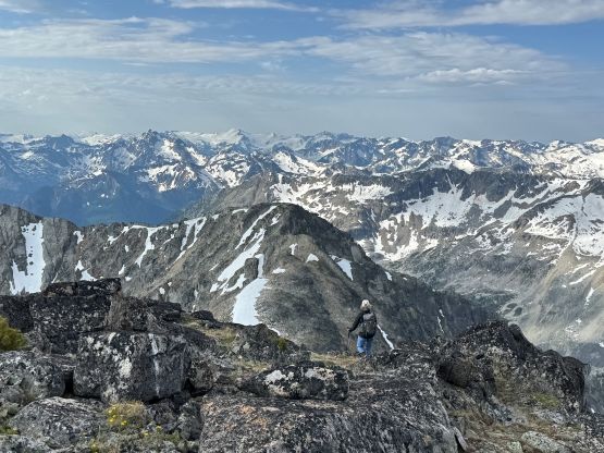
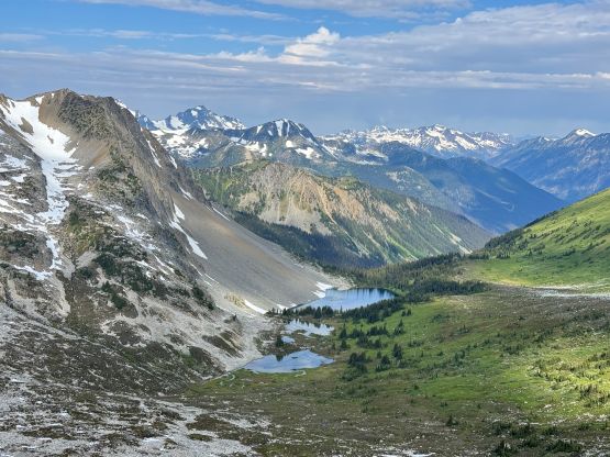
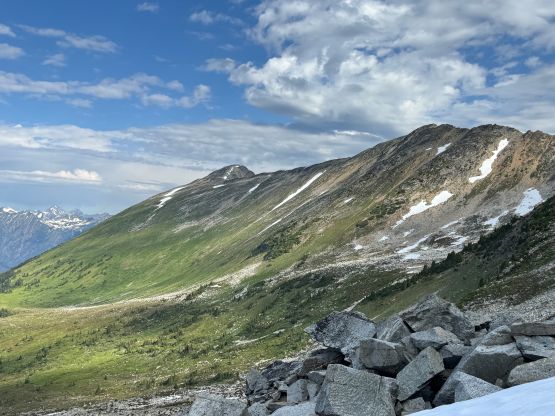
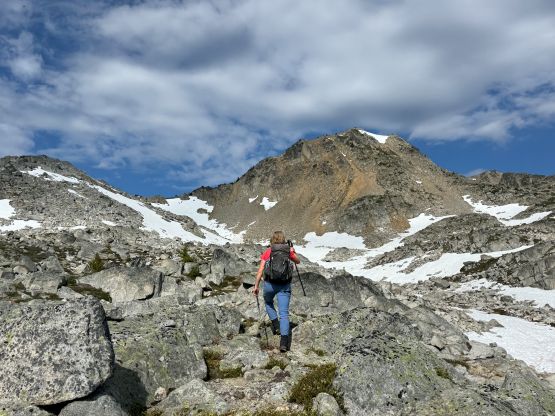
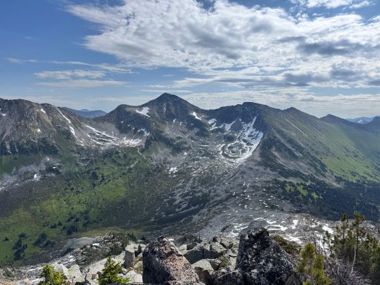
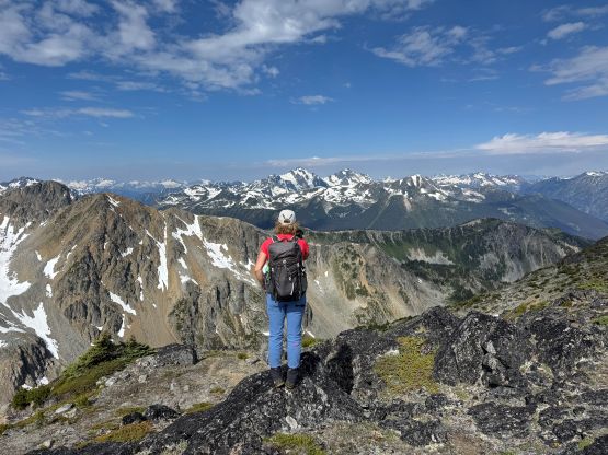
We then easily descended the short south ridge of “Tandem Peak” and worked our way up towards the long and undulating east ridge of “Outreach Peak”. The going was mostly straightforward but the traverse took a while. There wasn’t much elevation left to gain but the horizontal distance was not “nothing”. “Outreach Peak” was also prettier than expected so we took another long break on the summit. There was unfortunately no running water after leaving the lake’s outflow so the 1.5L of gatorate that I had brought for the entire day wasn’t sufficient enough. Thankfully Tanja was able to offer me some drinking water so I didn’t have to suffer too much.
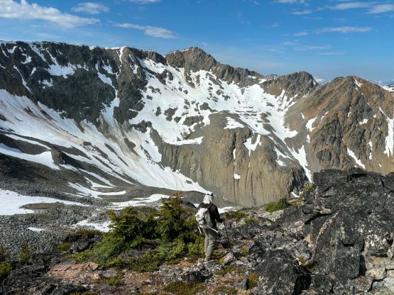
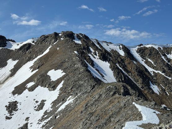
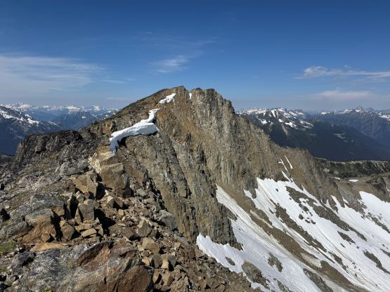
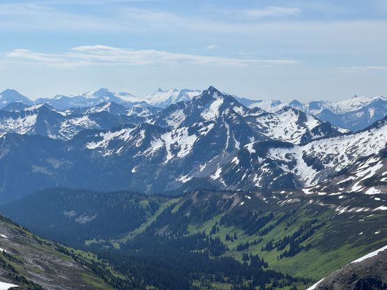
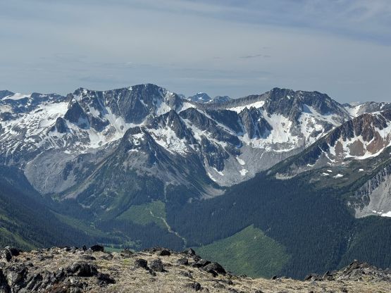
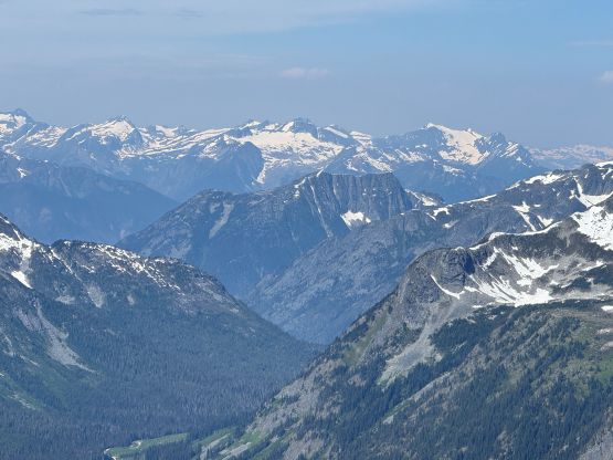
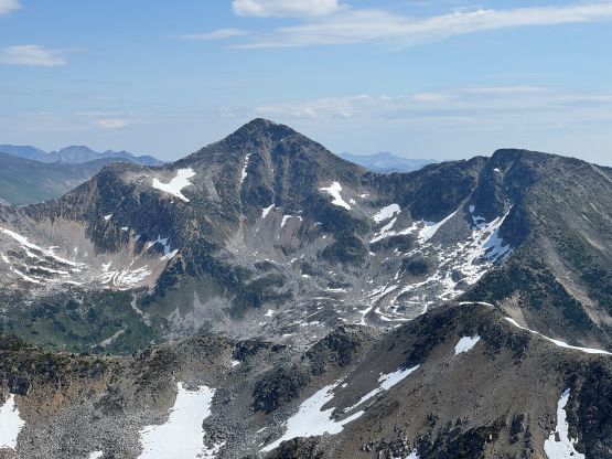
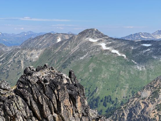
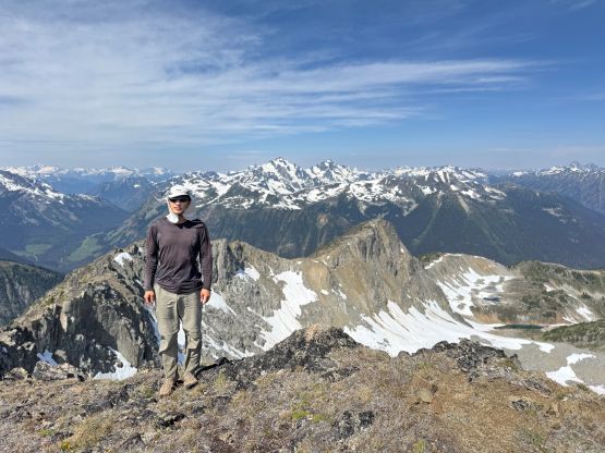
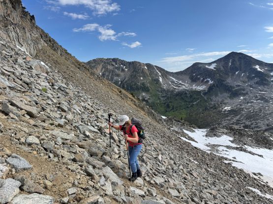
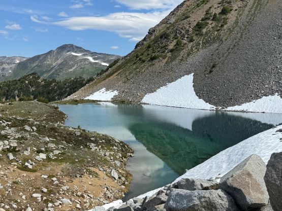
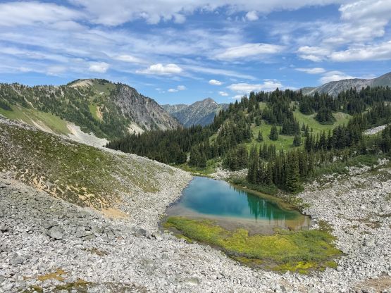
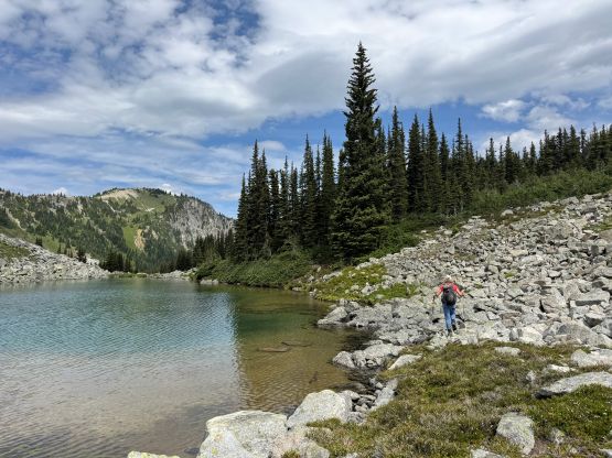
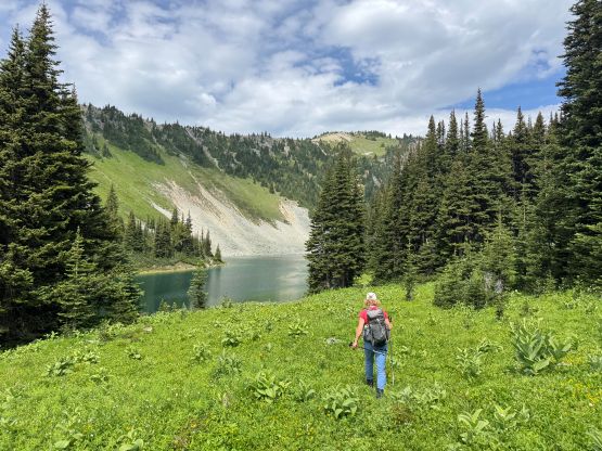
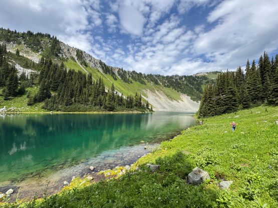
To descend “Outreach Peak” we opted to explore the valley to the NW so that we could close in the loop. The crux was to get off from the ridge. There seemed to have different options but there wasn’t an obvious solution. We eventually picked the chossy terrain below the first notch NW from the summit, which quickly turned into a compact dirt shit show. I would definitely not recommend going down this way. We were able to work our way down onto the snow fields and thankfully the snow was soften enough to walk down. None of us had brought ice axes nor crampons so we completely relied on the snow being soft. This valley had several lakes and those were definitely rarely seen, so even though the descent was not “straightforward” I wouldn’t going to complain. We eventually worked our way to the outflow of the largest (lowest) lake and had to deal with several hundred meters of steep, BW3 bushwhacking to get back to the vehicle. We popped back onto the FSR a few hundred meters below the parking area and our round trip time was exactly 7 hours.
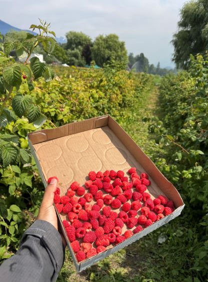
In retrospect I would recommend descending “Outreach Peak” by retracing the east ridge back towards Outreach/Tandem col and then descending to Pushki Lake, but as mentioned earlier I definitely did not regret doing the exploratory way. Tanja then skillfully drove us down the rough FSR and back to Pemberton. Tanja had an idea of doing some berry picking in a local farm. The day was hot and smokey but I thought it’d be cool to experience something different. I also caught up with some sleep while Tanja’s driving, and I eventually got back to Vancouver by dinner time.