Junction Hill
April 29, 2012
2233m
Kananaskis – Highwood Junction, AB
Junction Hill is a popular off-season objective well documented in Andrew Nugara’s Snowshoeing in the Canadian Rockies book. It has two published routes with similar distance – the southwest and southeast ridges. After finishing Mount Burke, mom and I still had lots of time and just enough energy to bag another peak on the same day. Our original plan was Raspberry Ridge, but seeing how much snow up there, we decided to do Junction Hill. After parking at the winter closure gate at Highway 541/940 Junction, we decided to ascend via southwest ridge which looked to be less snowy and we didn’t bother to bring snowshoes.
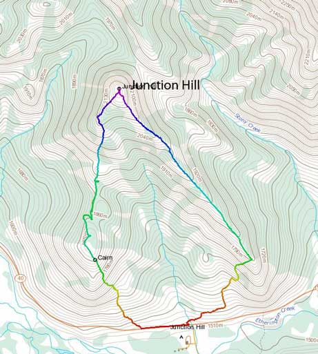
Junction Hill hiking loop
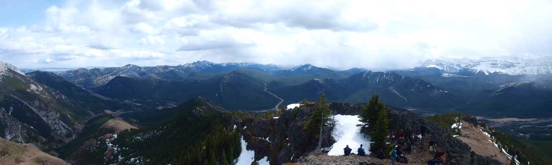
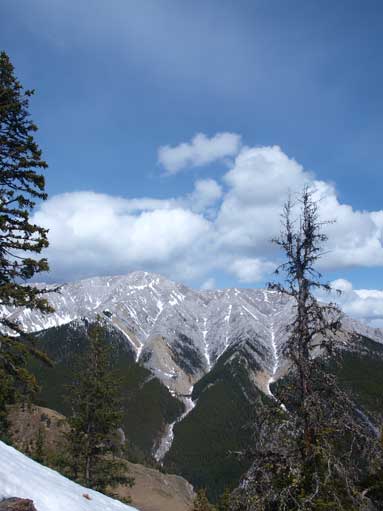
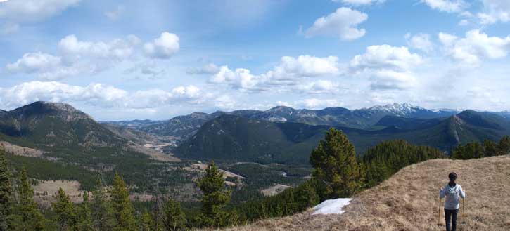
The direction was easy to follow – walk down the highway for a few hundred of meters, then head directly up the grassy hill. However, we underestimated the length of this trip. After getting up the first highpoint we found the objective was still being quite far away… After that we had to dip down into the trees. The north facing slope held lots of snow, and as a result, our boots got soaked. There was some mind numbing walk in the woods for a while before breaking through the trees again. The summit offered fine view towards Elk Range and High Rock Range on the Continental Divide, as well as Mount Head and Holy Cross Mountain. It’s my first time in this area, so every aspect was new to me. We can also see Mount Burke and Livingstone Range towards southwest. We met a huge group on the summit.

It was busy in this beautiful afternoon
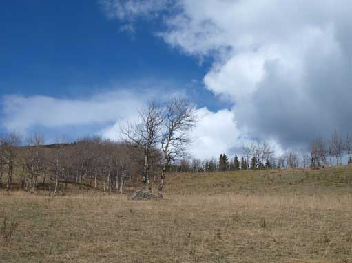
Looking up from near parking lot
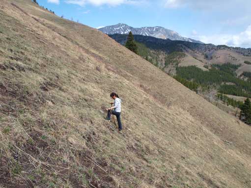
The grass slope is steep at places
Looking south from the summit. Note a huge group resting at a wind sheltered spot

Looking west towards High Rock Range

Zooming-in towards Highwood Pass. The big mountain at right side is Mist Mountain.
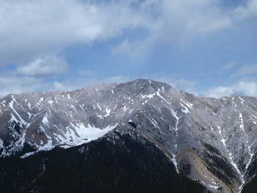
Holy Cross Mountain
Mount Head
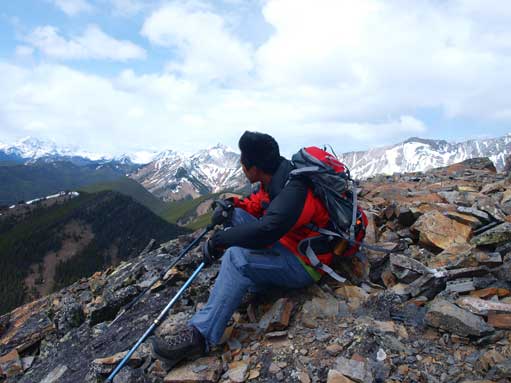
Me on the windy summit

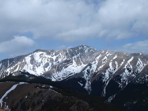
Panorama of Holy Cross and Head, Highwood Range
On the way down we decided to descend the southeast ridge for variation. This ridge was more pleasant than the one we came up. There were no up-and-downs and we descended in a steady pace. Near the end of the ridge we headed down skier’s right on a huge grassy slope to avoid cliff bands.
Mount Head from the descent.
Holy Cross Mountain again
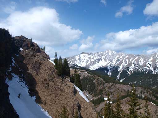
A last look at this area, before dropping down from the ridge crest
Our round trip time was 4 hours and this concluded a fairly productive weekend spent in the mountains. It surely felt too to have all the final exams done so that I could focus more on the mountains.
