Zoa Peak
February 8, 2016
1869m
Coquihalla Pass, BC
A high pressure ridge granted some sunshine towards the last day of this Family Day long weekend, but at the same time temperature had gone nuclear with freezing level well above 3500 m for most of the SW BC… Zoa Peak is one of those uninspiring rounded and partially forested summits that I had on purposely saved for occasions like this. With a mere 650 m elevation gain from Coquihalla Pass I figured it’s the perfect objective to take my parents out for a hike, and given its popularity we’d expect a well broken set of tracks so no trail-breaking needed.

Zoa Peak standard ascent route. GPX DL
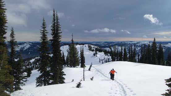
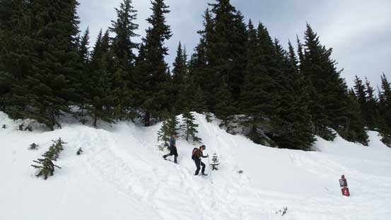
There’s no need to do alpine start for this lowly objective, but on the other hand I did want to get most of the elevation gain dispatched before it’s getting too toasty. A 6 am wake-up call was in the order and by 8:30 am we had already started the plod from Falls Lake parking lot. The first section was plodding along what seemed like a deactivated forest road until a 4-way intersection. This part was heavily used by all kinds of traffics (skiers, snowshoeers, hikers and snowmobilers) so the trail was very hard-packed. The most obvious track led diagonally up climber’s right side so we followed that way. This was more like a cut block and the initial 50 m or so was fairly steep. The next half an hour or so was spent ascending this cut block to gain the broad east shoulder of Zoa Peak.

From the 4-way junction we’d ascend that obvious cut-block
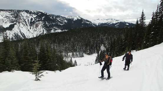
My parents snowshoeing up the cutblock
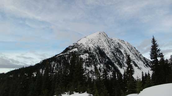
The north side of Thar Peak
Further up along the cut block. Almost time to enter the forest
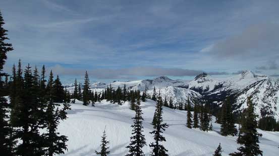
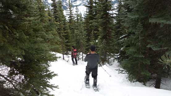
We correctly located the sign for Zoa Peak’s summer trail but it looked too steep and bushy for our like. Indeed the main branch of the snowshoe tracks continued further along the cut block so not knowing where exactly they went we followed them anyway. In another 20 minutes or so the cut block levelled out and the tracks entered the forest. The terrain was mostly open old growth forest around here and the grade appeared very gentle. There’s little to document about the plod along the broad forested ridge except for the increasingly better views and we made to the false summit in good time.

The typical forested ascent
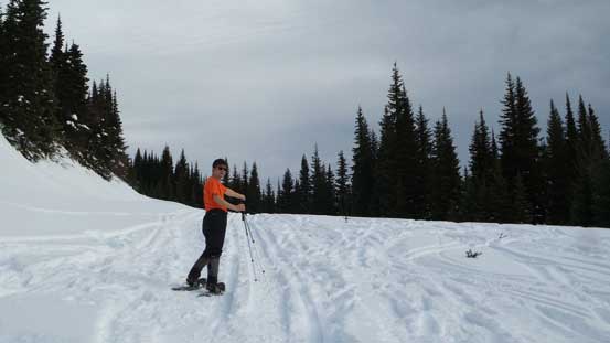
And, the typical view along the ridge

Looking towards July Mountain across Coldwater Creek

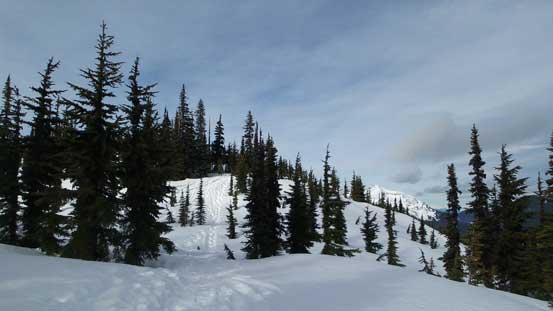
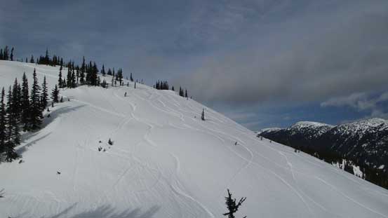
The terrain started to open up
Ascending one of the many mini rolls
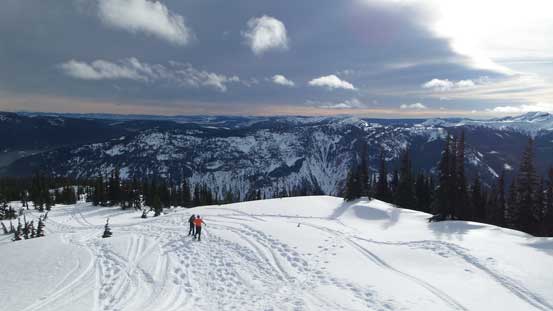
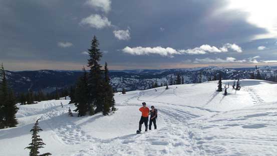
Almost on the false summit, looking back
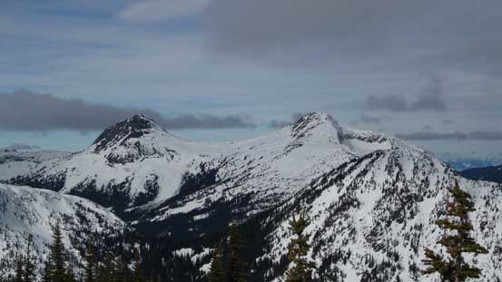
A view towards Coquihalla Mountain
The true summit from the false summit
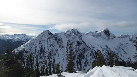
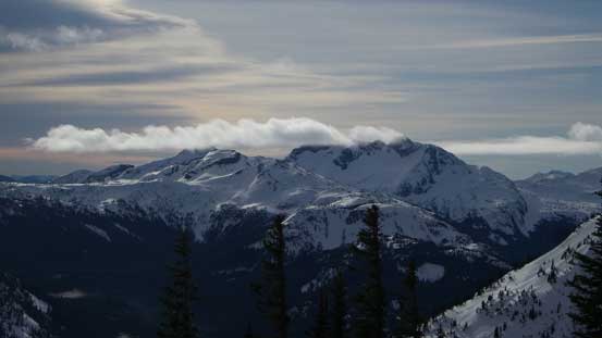
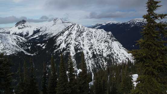
The north side of Thar Peak, Nak Peak and Yak Peak

The N. Face of Yak Peak

The north side of Zopkios Ridge
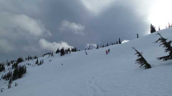
The terrain between the false and true summits appeared more involved than I was expecting where a steep east facing slope must be ascended. Thankfully the weather was on our side as it’s mostly cloudy (as opposed to “sunny” in the forecast) so the solar radiation hadn’t gone crazy yet. Descending into the saddle was easy and up the other side there’s a set skin tracks leading over the steep roll. The snow was grippy on our Lightning Ascents so we pointed straight uphill which was the more efficient option (instead of following exactly on the skin tracks). There’s still a fair amount of distance to cover to my surprise, and the true summit was mostly forested limiting what we could see.
The steep slope ahead
My parents descending from the false summit

Down to the saddle, looking towards Yak Peak
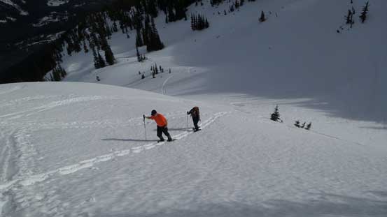
Then, up the steep slope on true summit
Plodding across the plateau towards the highest point
A view from the true summit. Not too much to see thank to the trees
A closer look at Vicuna Peak and Guanaco Peak

And, a closer look at Alpaca Peak

Mt. Urquhart (R) and some remote peaks north of Judge Howay
Zum Peak in the foreground
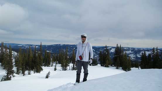
Me on the summit of Zoa Peak
After a necessary energy break we retraced our steps back to the false summit. Plunging down the steep slope to true/false saddle was fast and fun, but plodding up the other side felt more tiring than it should be. There’s a lot more to see from the false summit so we spent some time soaking in the views before going home. Into the forest we did the summer trail variation which was steeper indeed, but not as bad I thought it’d be. The rest of the descent was uneventful, albeit tedious at places and we got back to the parking lot before 2 pm.
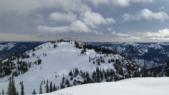
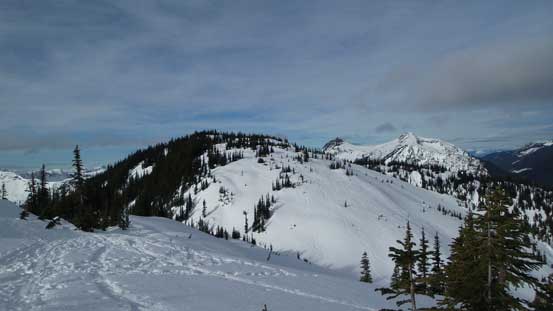
False summit from near the true summit
Plunging down the steep slope
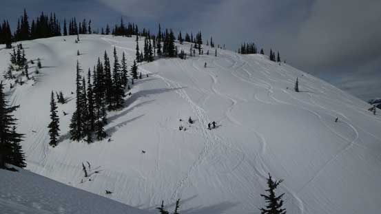
A wider view showing the steep slope
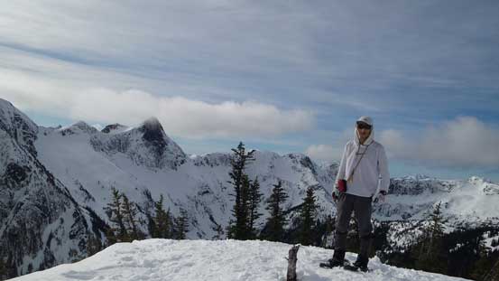
Me on the false summit with Zopkios Ridge behind

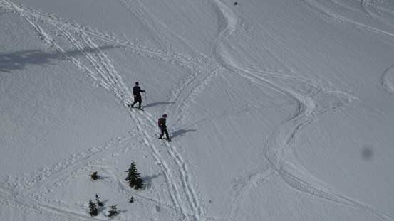
Another group of snowshoeers on their way up
Into the forest
Down to the road/cut block

Oh the boring slog…
The other parties that we saw on this day all stopped at the false summit and I have to agree. The true summit is more of a peak-bagger’s objective (for claiming the peak) and skier’s objective (for laps on its open north slopes). For hikers the false summit is safer and gives more views so no need to venture further. Overall this turned out to be the objective that I was just expecting – not very motivating but short and easy indeed.. Now with only 2 more peaks to hit my major peak-bagging milestone I had to do some homework as where I’d go next…
