Mount Washington [Vancouver Island]
August 11, 2026
1585m
Vancouver Island, BC
This was the 5th Mt. Washington that I had tagged and this one locates on central Vancouver Island of British Columbia even though the name might suggest it’s somewhere in the U.S. Well, all of the other 4 were indeed in the U.S. This one boasts over 500 m prominence and is largely a ski resort but the ski runs can be easily hiked in summer months. I wasn’t intentionally to hike Mt. Washington given the expensive ferry tickets but I was already on the island for some other peaks, and I happened to have a couple hours to kill in the evening of Day 1, so why not.
The primary objectives were Mt. Cain and Sutton Peak with Rob but I caught the mid-afternoon ride from Tsawwassen to Duke Point. This would position me in Campbell River no later than 7 pm which meant I had about 2 hours of daytime to kill. I thought about trash-bagging in the vicinity of Duncan but such required driving towards the opposite direction. The weather forecast for the north wasn’t looking too promisingly but improved at the last minute, such that I decided to give Mt. Washington a try. If the thunderstorms did come then I would simply turn around. This way I could also car-camp in the vicinity which was quite high (over 1000 m elevation) and not as hot as Campbell River area.
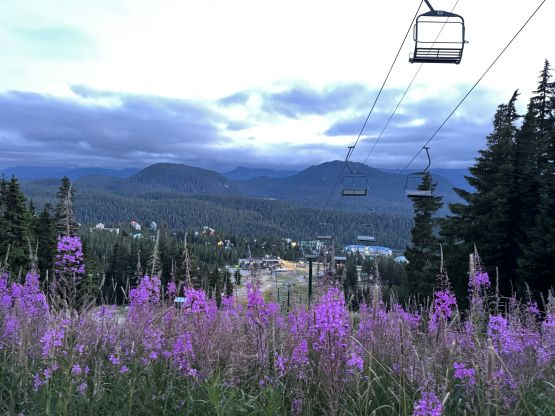
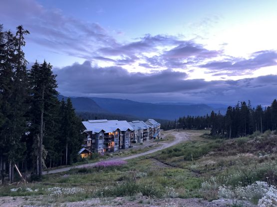
The driving was a bit tiring but I did get myself there according to plan. The parking situation wasn’t very obvious so I just drove towards the highest I could drive to. I probably could have pushed further up the resort roads but I didn’t know if that’s permitted and if not, what would be the enforcement. In retrospect I probably should have driven a bit further up the runs as some of those roads were definitely suitable for the Subaru. Anyhow I opted to park.
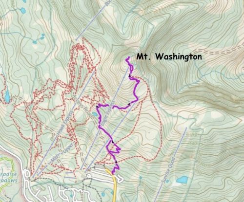
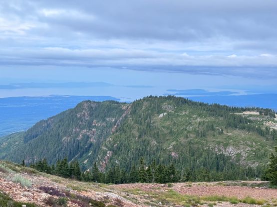
There’s a maze of trails on the flanks and I had little clue which ones were designated for hiking. A bunch of those trails were for MTB only but at this time of a day there was no biker around. Why not just pick whatever trail that seemed to make sense. I tried to follow a rough road for a bit but then quickly merged onto a MTB trail with clear signage or “not for hiking”. I plainly ignored those signs and basically took these biking trails to the upper mountain, with a bunch of short-cuts to minimize the horizontal distance. Higher up I took a narrower trail that was marked with “black diamond” and I assumed that’s for expert downhill bikers only. There was almost 400 m elevation gain from the base to the top so this wasn’t a “freebie” ascent, but at least the views were excellent.
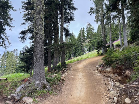
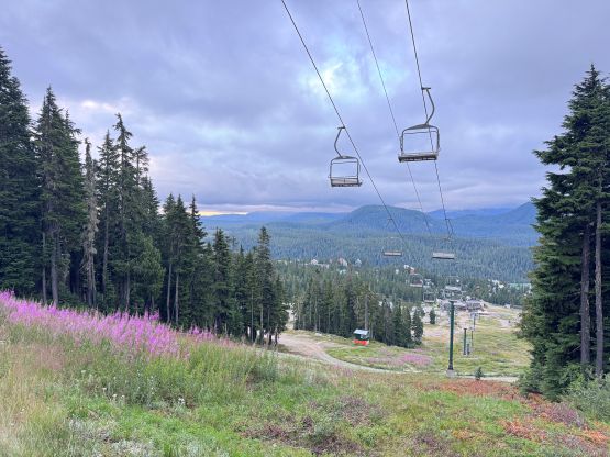
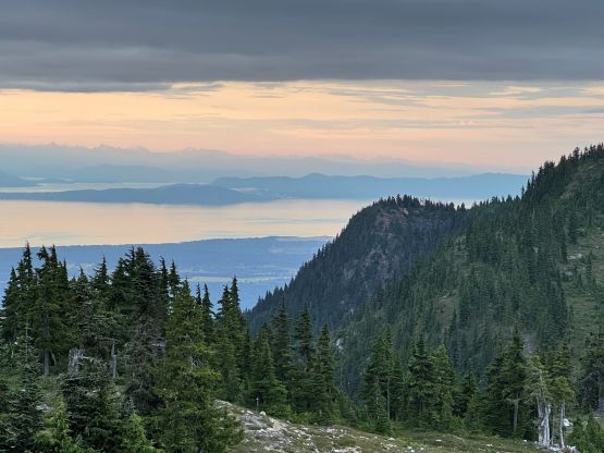
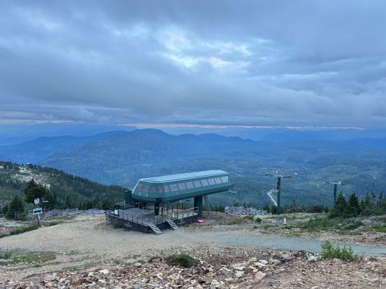
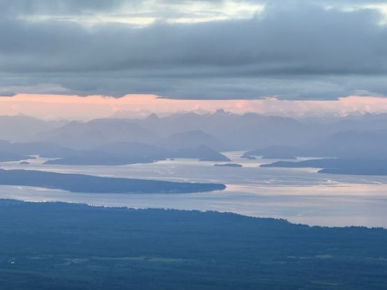
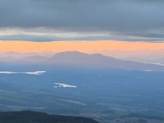
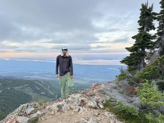
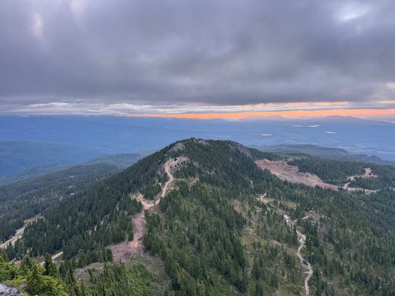
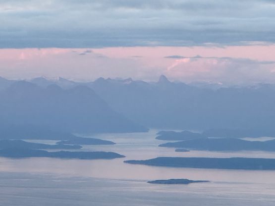
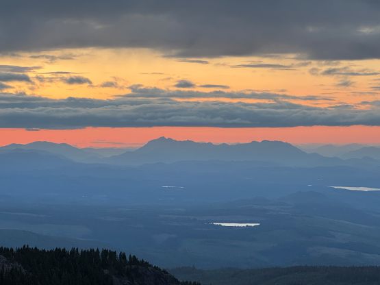
I did spend some time on the summit as I caught some cell reception. Eventually I thought I should try to get down the mountain before having to turn on the head-lamp. I wasn’t planning to run but eventually started to jog, as the trail quality was too good to not do that. I eventually finished the round trip in less than 1 hour 20 minutes and did not have to turn on the head-lamp. I then drove a short ways down the access road and car-camped in the vicinity. The next morning I got up at 5 am and drove an hour to Campbell River to pick up Rob for the main objectives.