Snyder Hill
September 1, 2019
1658m
Ione / NE Washington, WA
Snyder Hill is a lowly, forested and heavily logged bump in the southern Selkirk Mountains of NE Washington with no view from the summit, but boast significant topographic prominence (WA Top 100 by Prominence) that is considered as an “important summit” by peak-bagging community. To me the great prominence doesn’t change the fact this is a dumpster hill but I’m one peak-bagger interested in bagging every damn single summit no matter what. The access road is doable in most 4×4 vehicles and brings peak-baggers to within 150 vertical meters from the summit. There was unfortunately, no trail on the uppermost mountain so one has to bushwhack.
Adam, Connor and I decided on Snyder Hill to start off our last day of this extended peak-bagging road trip. The plan was to knock off at least 4 or 5 peaks plus driving all the way back to Seattle so we had to wake up very early. The alarm went off at 4 am and in half an hour we were on the road down the nearby Molybdenite Mtn. and then up on Snyder Hill Road. About 1/3 of the way up we encountered an (open) gate but the sign said “gate closed from Sept. 1 to Oct. 30”. Today was the first day that the gate was going to close, but we decided to plainly ignore shits like that just as if we hadn’t seen it. Connor and I actually paid attention to read the sign but Adam didn’t even bother to read, and in another half an hour or so we parked at the uppermost west ridge. The wash-out warned by previous parties turned out to be trivial. The upper mountain had been logged since the maps were made, that the roads didn’t quite match the ones shown on the maps, but we drove to where we wanted to drive to as planned, so all didn’t matter.
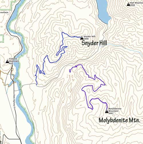
Ascent routes for Snyder Hill. GPX DL
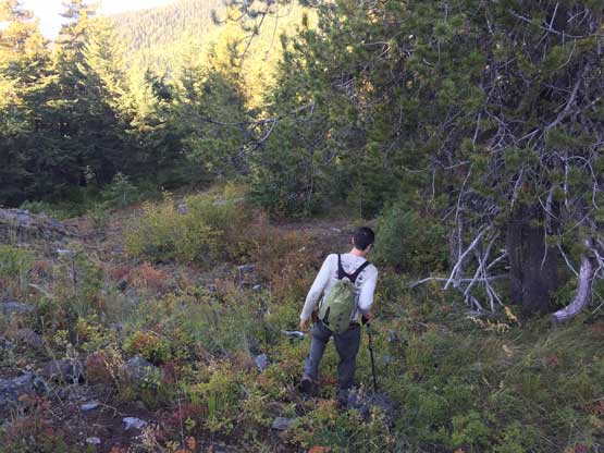
The bushwhacking appeared shitty and we were low on motivation in the early morning, but the sole reason we came here was to bag this peak, so we had to embrace the brushes. The bush wasn’t as bad as appeared at first, but did require some detouring (BW 2+). The ridge had a few annoying dips and turned out to be much longer than I thought. It took us a while to hike past the old fire lookout onto the densely vegetated summit. We wondered around to make sure we actually stood on the highest ground, and to our surprise we even dug out a newly-placed register.
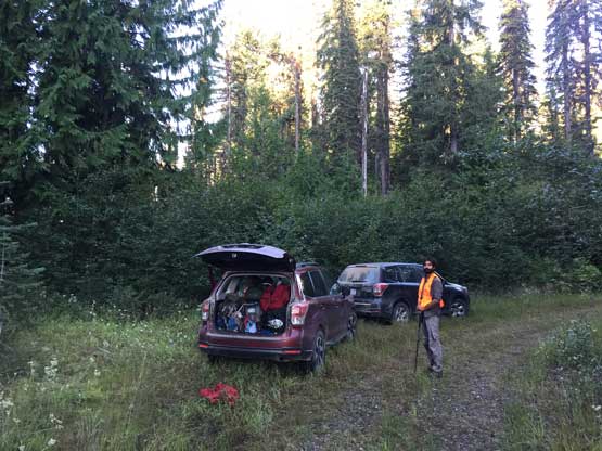
This is high up on the west ridge where we parked

Connor bushwhacking in the typical forest

Definitely not a pleasant summit by any mean…

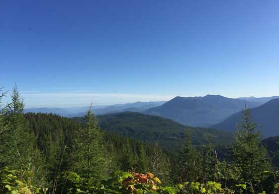
The only spot where we could see something. This is looking towards Calispell Peak
This is a western view towards some lower sub-summits

Me on the summit of Snyder HIll

I was surprised we found a survey marker and a register placed by Andy Martin from AZ
Due to the long day ahead we immediately started the descent. The downhill bushwhacking was surely not a deal and in short time we were back to near the vehicles. Connor and Adam led an alternative path short-cutting down to the road rather than ascending a small rise over the last bump. This was had a short stretch of steep terrain, but did save time overall. Not wasting much time we soon drove down the road, and once past the gate we saw what seemed like an official truck driving up. Adam and I assumed that’s the guy closing the gate so we barely managed to sneak this peak in without getting ourselves into trouble… Our next objective was North Baldy.
Adam hiking down a patch of open forest on the upper slopes
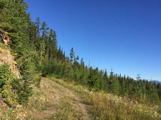
This is the typical condition of the upper road
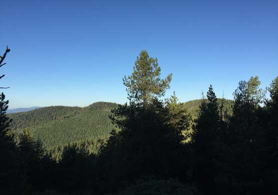
Looking north towards Sullivan Mtn. and the Canadian border

Low clouds sticking in the Pend Orielle River valley
