White Mountain Peak
July 14, 2019
4342m
Bishop / White Mountains, CA
White Mountain Peak is the highest summit in the White Mountains and also the 3rd highest in California. It’s considered by many as the easiest CA 14er because the standard route is nothing fancier than a Class 1 plod up a (gated) Jeep road. The ascent is about 11 km one way with under 1000 m cumulative elevation gain. This whole mountain range sits in the rain shadow of the High Sierras and the landscape is more desert-like. It’s apparently also a geologists’ paradise and the road cuts across so many layers and travels beside some of the world’s oldest living trees. The crux of an ascent of White Mountain Peak is the drive. At least 25 km of rough dirt road with a ton of elevation gain and loss needs to be driven each way and although doable, I would not recommend attempting without a high clearance vehicle.
Matt and I decided to hike up White Mountain Peak the day after our successful traverse of Thunderbolt Peak, Starlight Peak and North Palisade. We only had half a day to do anything before pushing the drive back to Seattle and among the 14ers we figured White Mountain Peak would make the most sense. That night we car-camped a little bit of ways in Grandview Mine Road away from the hordes in the official campground and had some neat morning views of the Sierras. We did not bother to wake up super early as we were exhausted from the previous couple days’ work. The drive to the trail-head was more adventurous than I thought and definitely justified the decision to bring my Tacoma that far down south as opposed to a standard passenger car. The gate at Barcroft was open and it was very tempting to drive the remaining 2 miles to the research station but we decided to not risk getting locked in.
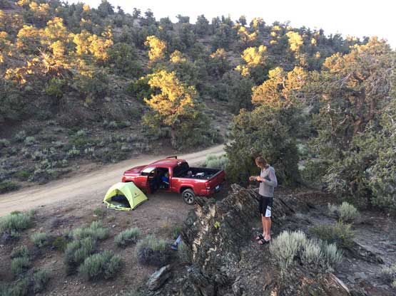
This is our campsite near Grandview Mine
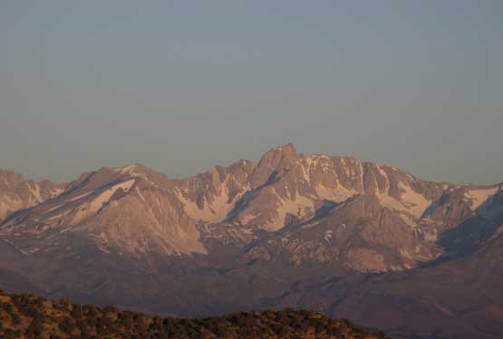
Mt. Humphreys on alpenglow. It looks tall but not a 14er

This is Mt. Tom, also not a 14er
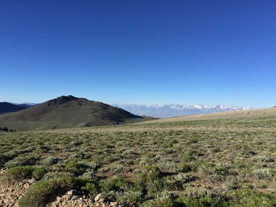
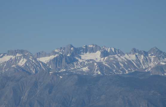
A wider view looking south-west towards Split, Birch and Middle Palisade
A zoomed-in shot of the group by North Palisade
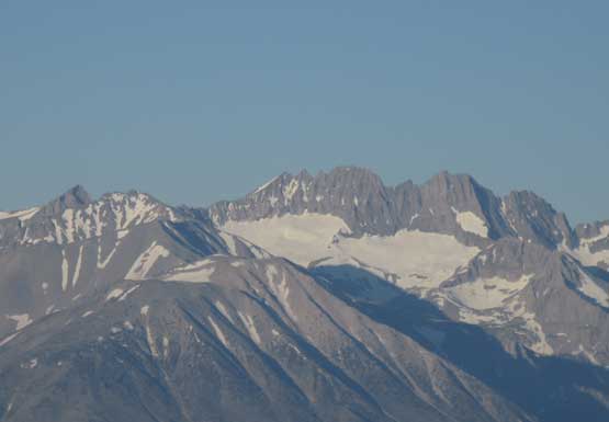
A zoomed-in shot of Middle Palisade
Split Mountain.
Up the White Mountain Road we went
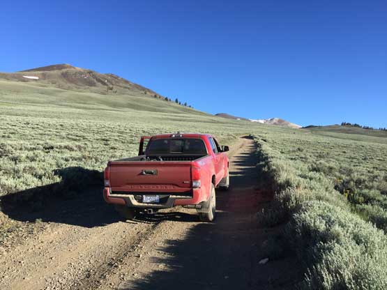
Taco for the win!
The terrain here is pretty otherworldly
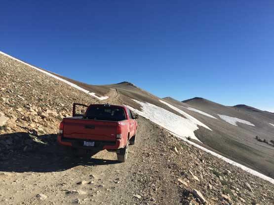
Onward into the sky. The stretch of the road is narrow and rough

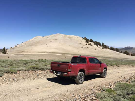
Just another photo to show my Taco…
There weren’t a ton worth documenting about the ascent as we essentially just followed the road all the way to the top. The initial 2 miles of plod to the research station felt like a drag and there was a substantial amount of elevation loss past the shoulder of Mt. Barcroft. Near the south-east ridge of our objective we took a short cut that avoids a tiny bit of unnecessary elevation loss and regain, and higher up on the SE slopes we also had to take a few forced short-cuts because of snow. The whole ascent took us under 3 hours on a decent pace as we were already well acclimated to the altitude by this point.

White Mountain Peak standard route. GPX DL
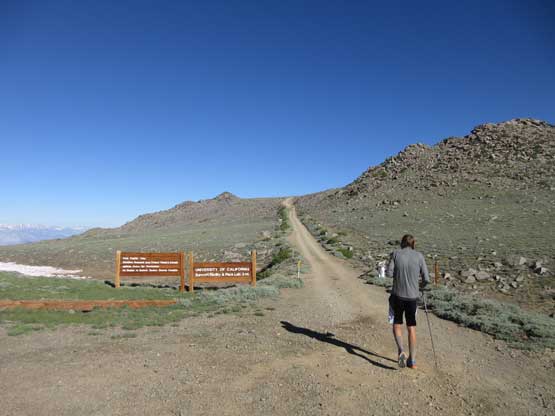
Matt starting the hike from the gate.
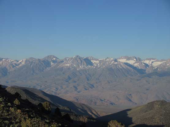
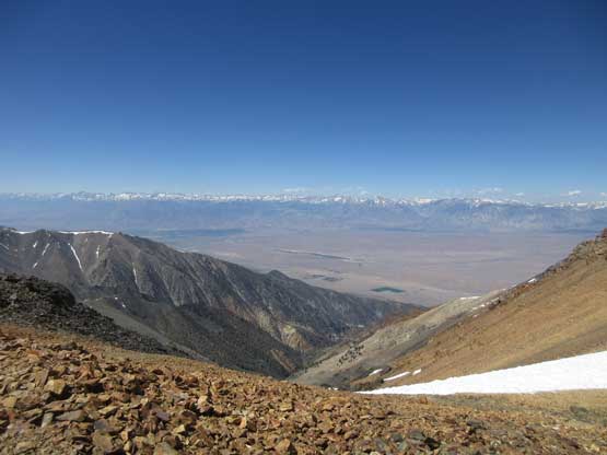
The High Sierras just across the valley
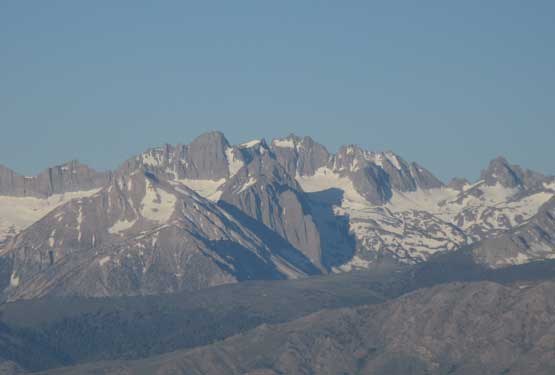
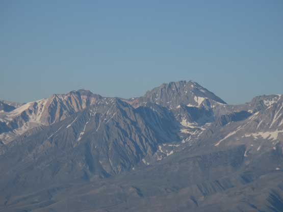
A closer look at North Palisade which we climbed the day before
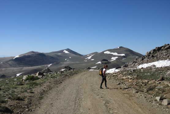
Passing another hiker along the way. Plute Mountain and Sheep Mountain behind
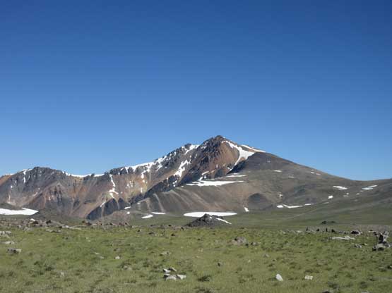
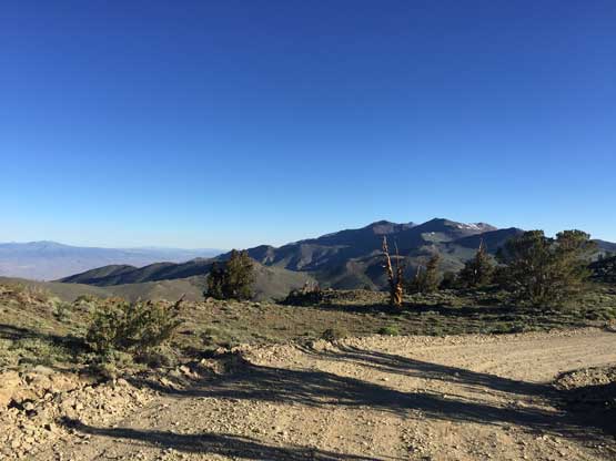
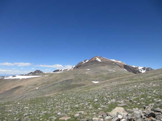
Finally could see our objective – White Mountain Peak
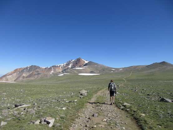
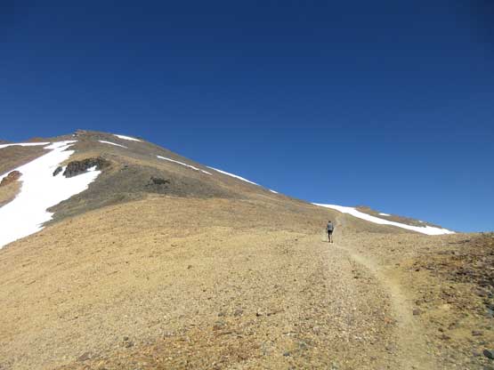
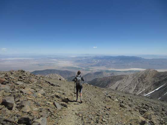
Matt heading for the peak. There’s substantial elevation drop ahead
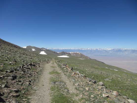
Just a typical photo of the road…

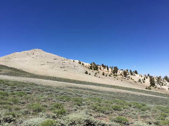
Nearing the base of the SE slopes now

The road continues switch-back up the hill
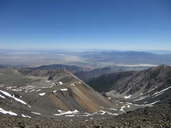
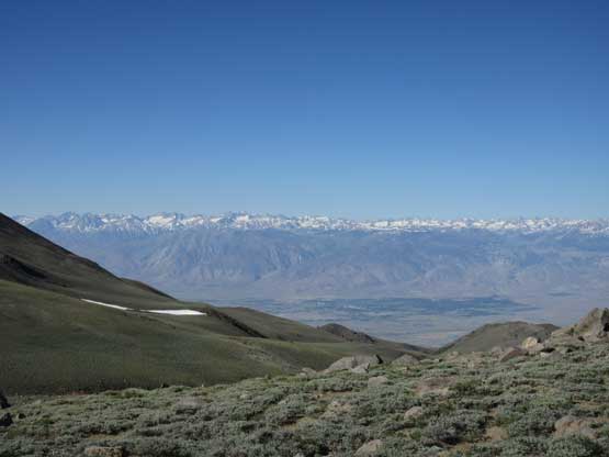
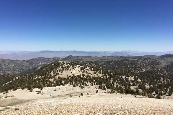
A wide view of the east side desert into the state of Nevada
As you can see we hiked through many geology layers
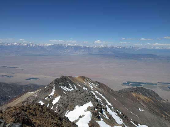
This is a west side view into the desert by Bishop
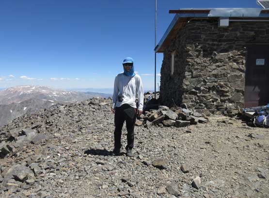
Me on the summit of White Mountain Peak
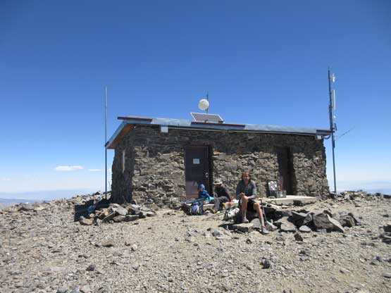
Matt and the summit building
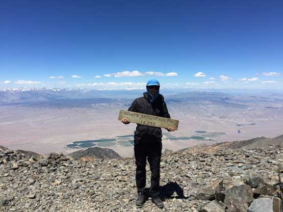
Another photo of me on the summit of White Mountain Peak
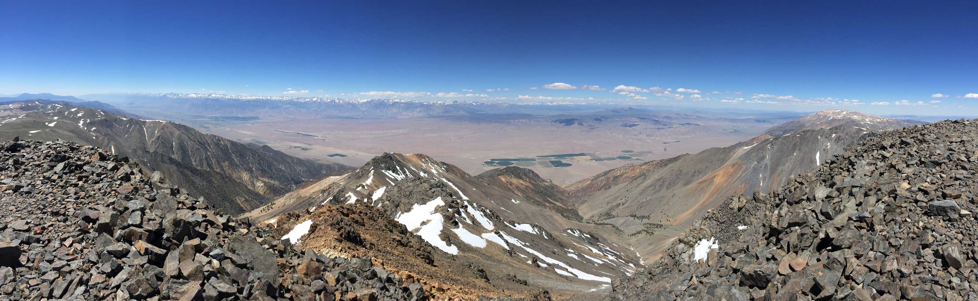
Partial Summit Panorama from White Mountain Peak. Click to view large size.
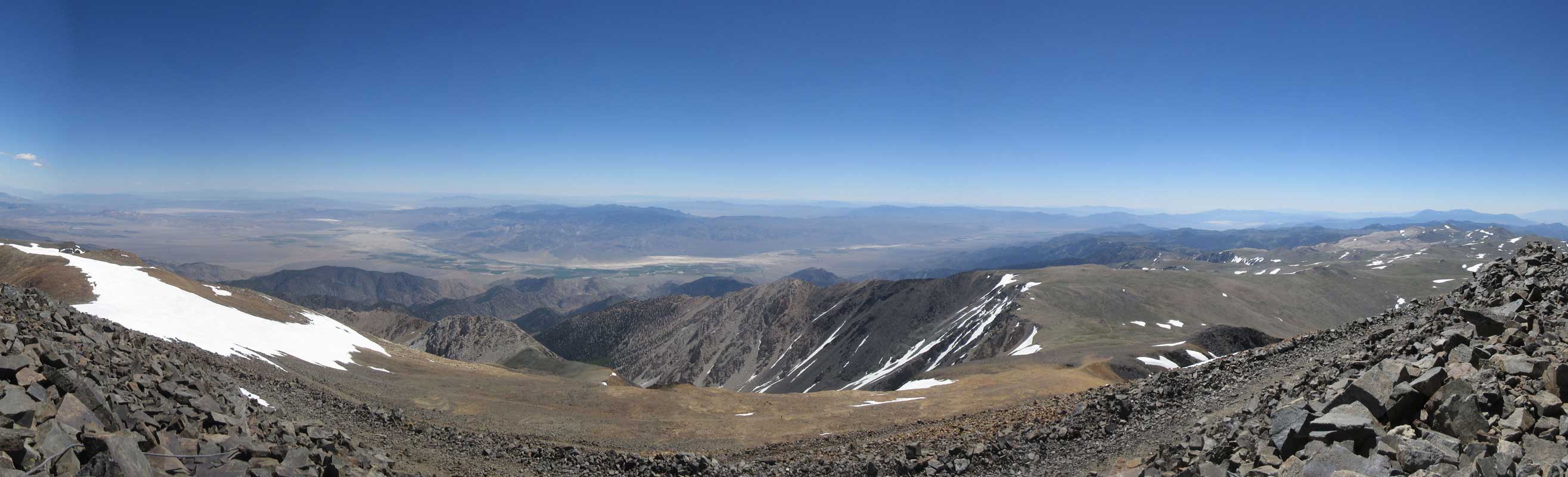
Partial Summit Panorama from White Mountain Peak. Click to view large size.
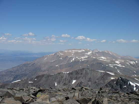
A closer look at the northern White Mountains
Just another photo to show the east side desert floor..
The views were awesome so we stayed for a long time on the summit and that was unusual. On the descent we took no break for anything (not even for water) and were back to the truck in under 5.5 hours of round trip. The drive down the winding White Mountain Road was just as scenic as the hike and offered some other perspective of the mountain range so we stopped frequently for photos. Matt is a geologist and travelling with him meant I could get at least basic knowledge about the rock formation and vegetation in this area. We eventually got back to the town of Bishop in late afternoon and despite the amount of work we did our new objective was to push all the way back to Seattle (and Vancouver) in one single push, through the night.

Time to hike down
More about the descent. As typical as it got
Back to the long stretch of road plod. Looking back at White Mountain Peak

Another photo looking back at White Mountain Peak
Driving down now.
The white rocks grow some of the oldest trees on earth
One last photo of my Tacoma on the White Mountain Road
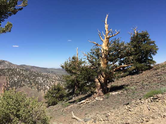
I don’t know how old this tree is but at least thousands of years old…
Instead of finding a luxurious restaurant we decided to just find a roadside place for sandwiches and we sure found one in Carson City, NV. I then managed to push all the way to Klamath Falls, OR in a single shot by midnight. Matt took over the drive and made back past Portland into the state of Washington and then it was raining. We found a gas station to cover up the gears and I took over the rest of the drive back to Seattle to drop Matt off at his parents’ place. The traffic through Bellevue was brutal but at 9 am I was very awake and managed to push all the way back to Vancouver with no problem. Of course I slept a lot in the afternoon and that’s the end of another amazing adventure trip.
