Mount Allan
June 25, 2012
2819m
Kananaskis – Highway 40, AB
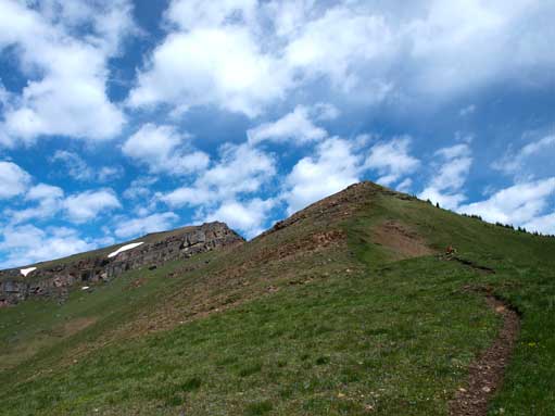
Mount Allan, the highest point of Olympic/Allan/Collembola loop, is one of the most popular scrambles in Kananaskis. The well-known Centennial Trail leads you from parking lot up and over “Olympic Summit” all the way to the summit of Mt. Allan and it’s the highest official trail in the Canadian Rockies. There’re a couple loose and not-so-well defined sections on the ridge so I’d say it’s more of an easy scramble than a hike. Since I ascended both Pigeon Mountain and Squaw’s Tit the previous day (2200 m total elevation gain), I was quite tired in the morning so slept in quite a bit. Weather was promising in Canmore so I still wanted a big ascent, and Allan/Collembola loop seemed like a right idea…
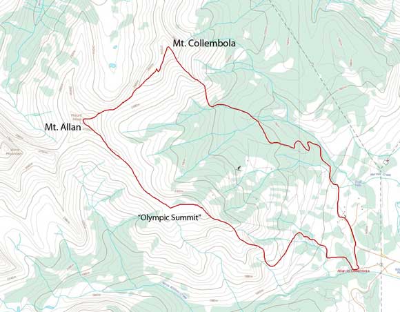
Mt. Allan to Mt. Collembola traverse route
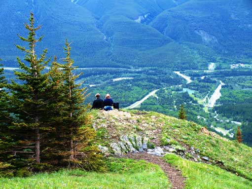
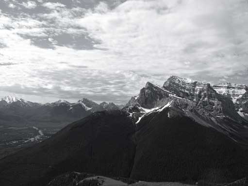
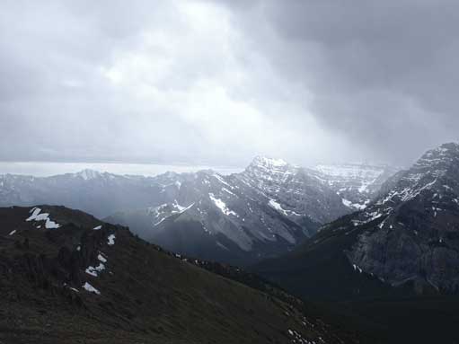
I wasted too much time in the morning, and started the ascent at almost 9 AM (quite a late start given the forecast of afternoon thunderstorms). There were already cars parking at Ribbon Creek parking lot, but I wasn’t sure if those guys were heading up Centennial Ridge, as there are many other trails starting at that area. Centennial Ridge Trail was very well marked so pretty easy to follow. The problem was the feeling of loneliness, and seeing lots of bear scats didn’t help. There was surprisingly a good amount of distance to cover before reaching the open grassy slope on the south side of Olympic Summit.. I passed two other hikers here – one from Edmonton and the other from Quebec. I started to feel the height gain I just did the day before at this point but after a bit of perseverance it didn’t take me long to reach the top of Olympic Summit. The view of the “rock wall” from Bogart to Lougheed was impressive.
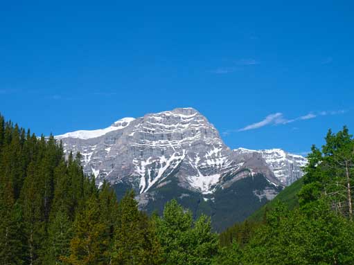
Ribbon Peak from the parking lot. Mt. Bogart just sticks behind
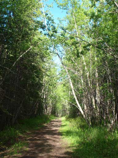
Easy travel along the trail system
An interesting view of Mt. Kidd

I got charged by this grouse. Almost stepped on the chicks…
I passed these two hikers on their way up.

Ribbon Peak again

Nice and open grassy slopes
Another view of Mt. Kidd
Centennial Trail follows the crest of the broad grassy ridge
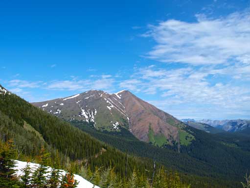
Started to see the impressive wall of rocks – from Bogart to Lougheed
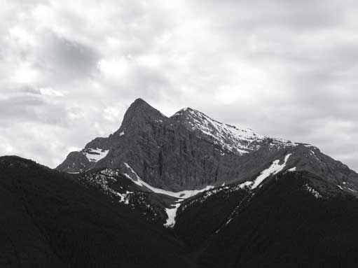
Mt. Collembola will be my last objective in this day
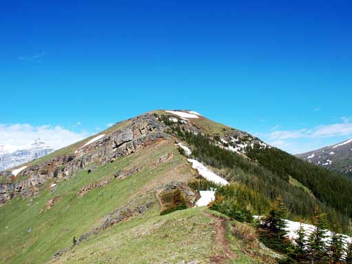
Looking towards the top of Olympic Summit (the top of Nakiska ski hills)
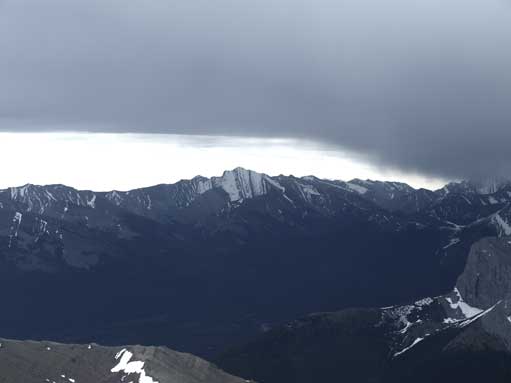
Another view of the wall of Rock
The weather didn’t appear to be stable so I didn’t linger any longer than necessary on Olympic Summit. I had to lose about 80 m elevation towards the “rock garden”, where I could admire some impressive pinnacles. A hail/snow storm moved in and I lost the view temporarily after this section. The rest of the way to the summit of Mt. Allan was just about perseverance again. I managed to summit Allan literally 2 minutes before another big storm. The register was specially shaped and there were even sugars and snacks inside. The book was wet and I could barely write on it with the pencil. This hail/wet snow storm was significantly heavier than the previous one. I found a shelter place on the east side and waited for more than 30min until it was gone. Two scramblers joined me on the summit during the waiting. They didn’t plan on Mt. Collembola so headed down soon after taking a few no-view summit photos. The clouds were really dark but lightning never came at that moment, nor even the buzzing sounds.

I would soon lose the blue colours. One last look at Bogart and Sparrowhawk.
Looking back towards the summit of Olympic Summit
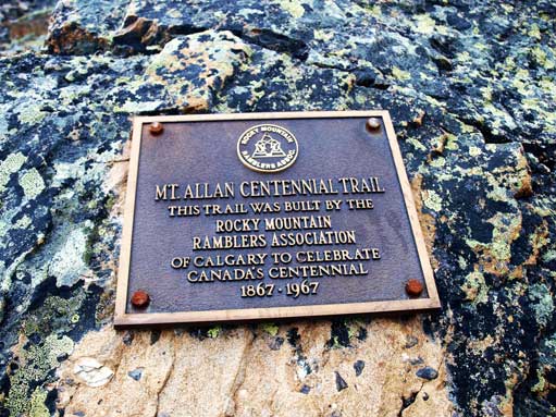
A plaque

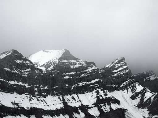
The pinnacles in the “rock garden”
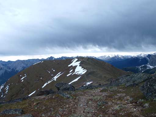
There were intermittent storms moving in and passing by
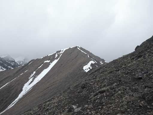
Looking ahead towards the summit
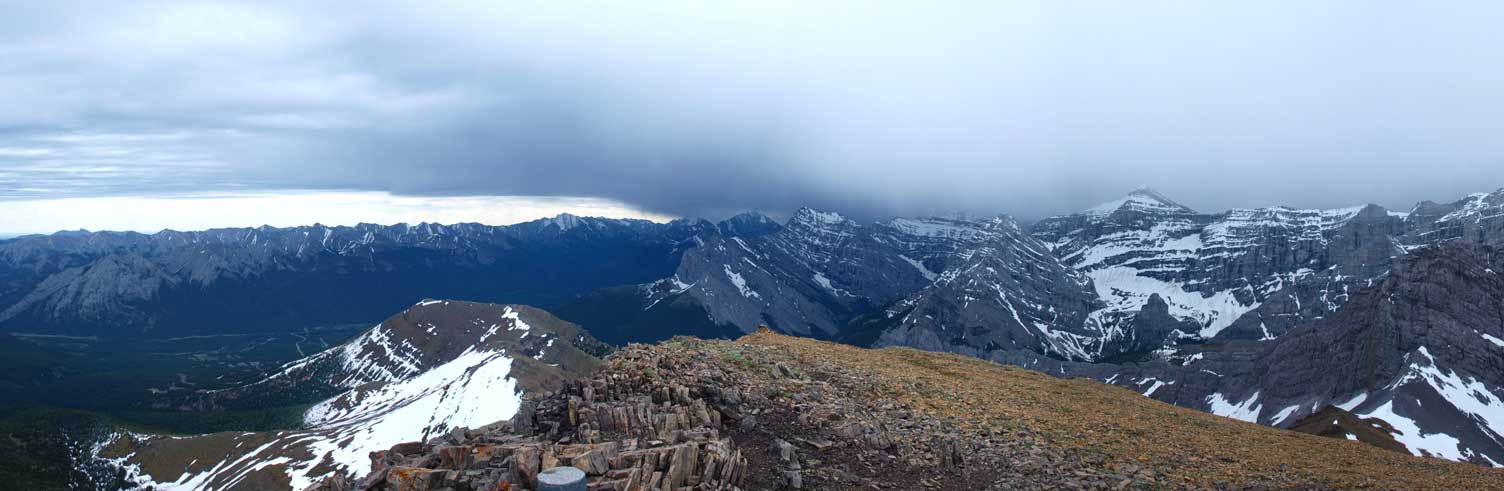
Partial Summit Panorama from Mt. Allan. Click to view large size.

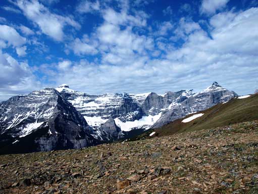
Summit Panorama looking towards the 4 peaks of Mt. Lougheed. Click to view large size.

Another view from the summit. Click to view large size.
Fisher Peak and the darkening clouds
Mt. Lougheed just about to get soaked in…

The register with Mt. Collembola behind
It’s a long way up here from the highway so I was keen to tick off Collembola on the same day. However, given the unstable weather it was a risky decision. Good thing was, this is a relatively easy objective and I could pretty much bail down the ridge at anywhere in case thunderstorm moves in. Therefore after the previous hail storm passed by, I started the traverse to Mount Collembola.
