Mount George Edwards
July 21, 2020
2284m
Clendinning Area, BC
Mt. George Edwards is a small summit on the upper Tinniswood Glacier plateau a few kilometers to the west of Mt. Tinniswood, in between Hunaechin Creek and Sims Creek. The location of this peak is very remote and as a result, it rarely sees visitors. It probably has seen only a few ascents in the last several decades but the records are nowhere to be found. Alex, Vlad and I pushed hard on the 4th day of our Clendinning traverse due to the incoming weather system. We wanted to position ourselves as close to Mt. Tinniswood as possible to facilitate an early morning ascent on the following day, so after traversing over Blumlisalp Mtn. and Hammerstein Peak we had to carry on.
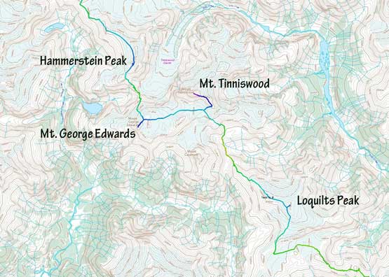
The section from Hammerstein Peak to Loquilts Peak
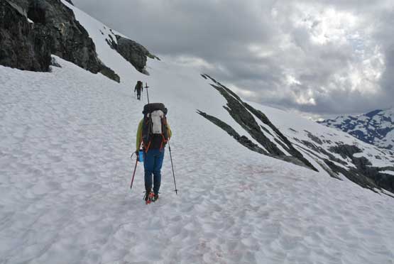
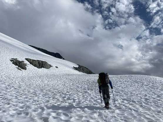
Upwards from “Inaccessible Pass” we firstly faced a series of short rock cliffs with lots of loose rocks. The section appeared troublesome from afar but turned out no worse than “class 3”. There was an annoying goat trying to kill us by kicking quite a few chucks of rocks down, but there’s only one way up so we had to face it. We put the helmets on and went as fast and alerting as possible and didn’t see the goat again. Once above the scrambling sections we merged onto snow. From there we had over 500 m of slog to a notch on the NE Ridge of Mt. George Edwards. The glacier looked steep so we donned crampons and ice axe. The glacier was well bridged that we did not encounter any major sag until the very end. This was great as the satellite images of this section did make me worry a bit. Unfortunately for us, once exiting the glacier slog at the high col we were soaked in some thick clouds with no more view whatsoever.
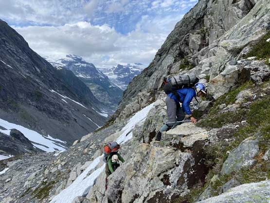
Vlad and Alex scrambling up some 3rd class above Inaccessible Pass

Looking at the west face of Mt. Tinniswood from just above the pass
Me merging back onto snow. Photo by Alex R.
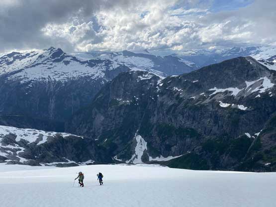
Vlad leading the snow slog to the bottom of the glacier

I took over the lead now. It’s a very foreshortened slog

Mt. Alexander looming behind
Alex and Vlad soldiering on
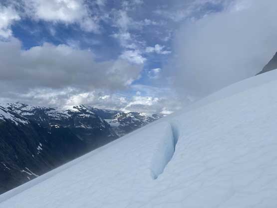
One of the few open crevasses we encountered

A closer look at Alex and Vlad. We managed to crush this glacier in a good pace

A closer look back across the headwaters of Sims Creek

Almost at the NE Ridge of Mt. George Edwards now

Made the ridge. Time to ditch our heavy packs

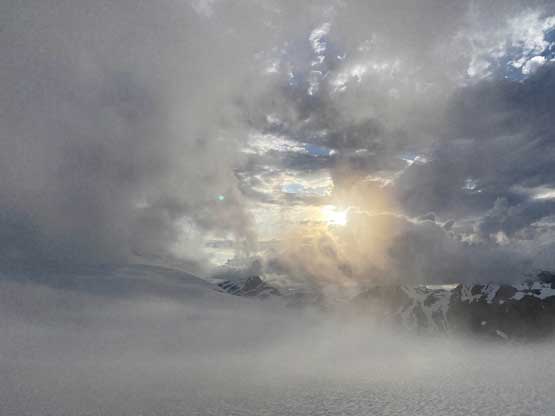
The last bits of sun for a while. We soon entered a ping pong ball…
We ditched the backpacks and easily ascended snow and rock to the summit of Mt. George Edwards following the NE Ridge but staying almost entirely on the south side of the ridge crest. The last section needed some caution due to cornices and white-outs but again, we managed to stay on the south side of the ridge so no problem. Unfortunately my 1000th summit turned out to be a foggy one with no view, but whatever.
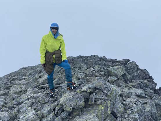
Me on the summit of Mt. George Edwards, my 1000th summit
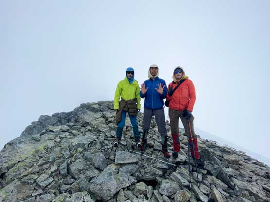
Our group shot on the summit of Mt. George Edwards
We did not do much lingering up there other than taking some obligatory victory photos. The descent back to the backpacks was easy and then we had to face the unknown, traversing about 5 km due east to the base of Mt. Tinniswood in a full-on white-out navigating the upper Tinniswood Glacier. The glacier appeared easy on the satellite images but we encountered at least two dozens of small cracks. All of them were easily stepped across. Once down to the general low point between the two peaks the weather lifted briefly and we could suddenly see the position of ourselves, and the trip continued with an ascent of Mt. Tinniswood.

Alex heading down the upper Tinniswood Glacier in the white-out

At the low point of the glacier, the clouds started to lift
It’s looking pretty good now. Our spirits were high
