Grotto Mountain
January 2, 2012
2706m
Canmore, AB
This was my first scramble in 2012, done on my 19th birthday. Although I successfully summitted this mountain, I should say, I was neither physically nor mentally ready for this ascent. Grotto Mountain was not on my winter to-do-list originally, until I was ‘convinced’ by a local guy met in Grotto Canyon (who oddly enough, was Travelin’ Jones who I knew later)… He summitted this mountain in December via the “direct route”. The direct route involves several steep slab sections even below the treeline with a few cliff bands, so I decided to give it an attempt via ACC route, a longer but safer route. The scramble section is merely a very steep hike and the few hands-on steps are all avoidable if staying on the ridge. However, the 1425 m elevation gain makes it a demanding ascent even in summer time. Note this elevation gain is almost the same as Cascade Mountain’s.
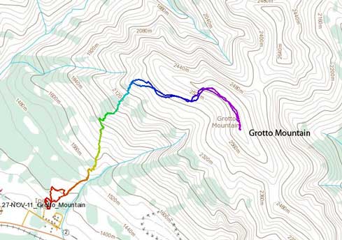
Grotto Mountain standard scramble route
There were two trails that could ruin your day. The first one was the trail to the direct route, bigger and flagged. I went off-route here, and wasted about 20 minutes. The second one was the Horseshoe Traverse, which continues horizontally all the way to Cougar Creek. In these days, it seems like most people were hiking this trail instead of Grotto Mountain. Too bad I went off-route again, and wasted about 1 hour here. When I was back to the correct ascent rib, it was almost 11 o’clock. And on top of that, after roughly 200 m elevation gain I completely lost the trail. I could see flaggings here and there but I had to break my own trail. Some bushwhacking was also involved and as I slowly gaining elevation the post-holing had become knee deep.
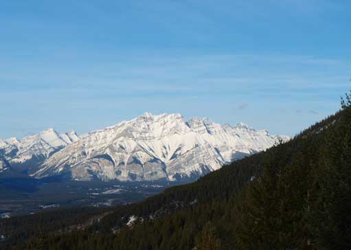
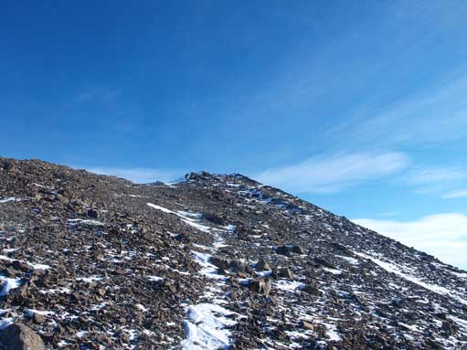
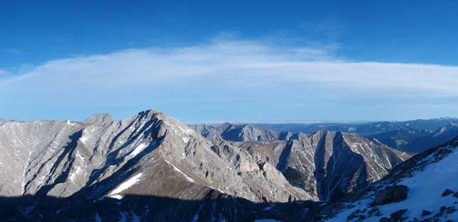
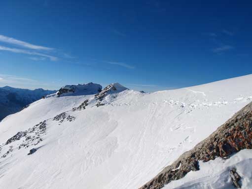
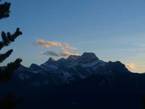
As you can see, Grotto Mountain is a big one.
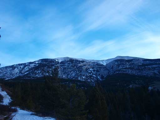
A typical view from the thinning forest
Once above the treeline, I finally can relax a bit. Due to the lack of snow on upper section, the rest was just like a late season scramble (although still a long way to the summit). I didn’t stay on the ridge during ascending, instead I traversed around several false summits on west slope which actually led to more interesting terrain. I had to take my ice axe out for a snow slope crossing. By the time I eventually reached the summit, it was 2:20 pm, which indicated I only had about 2 hours of daylight time. I checked the register, and the last ascent was done on Dec. 27th, so I’m the first one successfully ascended Grotto Mountain in 2012.

Bow Valley from above treeline. I was already exhausted now…
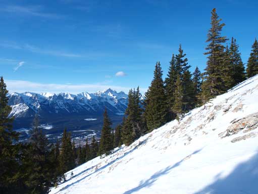
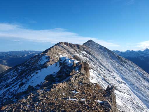
Going towards the first of many false summits. As you can see, it was pretty dry in the alpine
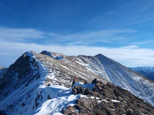
On the first false summit. True summit is on right.
Looking North towards Mount Lady MacDonald and Charles Stewart South
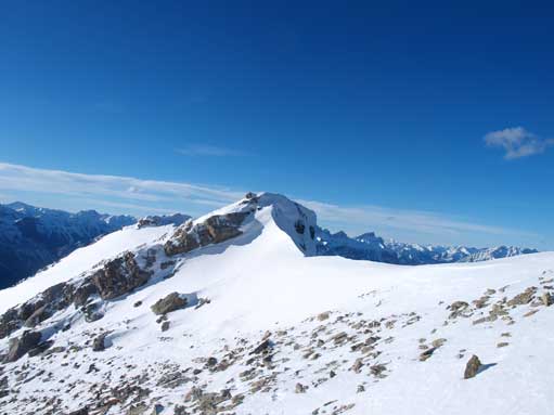
One of the trickier sections due to snow
An unnamed peak East of Grotto
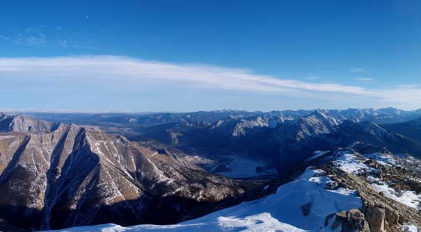
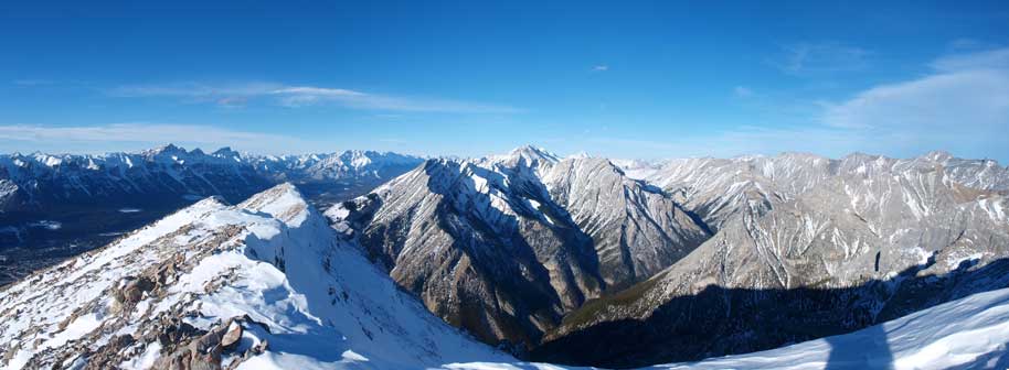
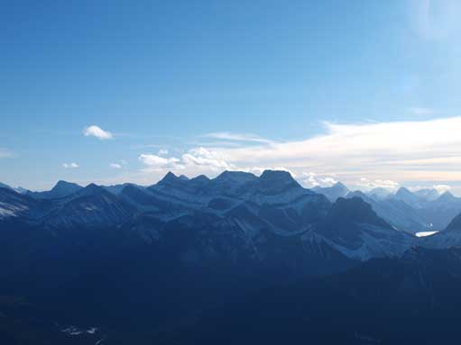
Summit view looking towards Lac des Arcs area. Everything looks small from here.

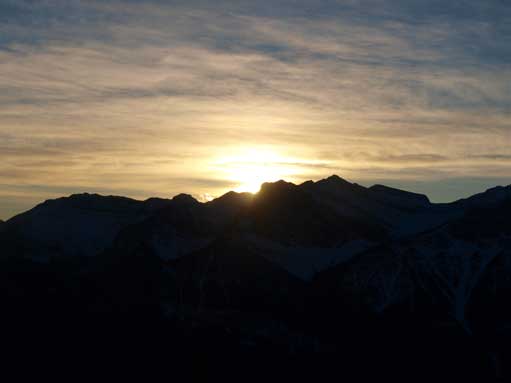
The sun was getting low. Time to hurry up on the descent

Another summit view, Bow Valley this time.
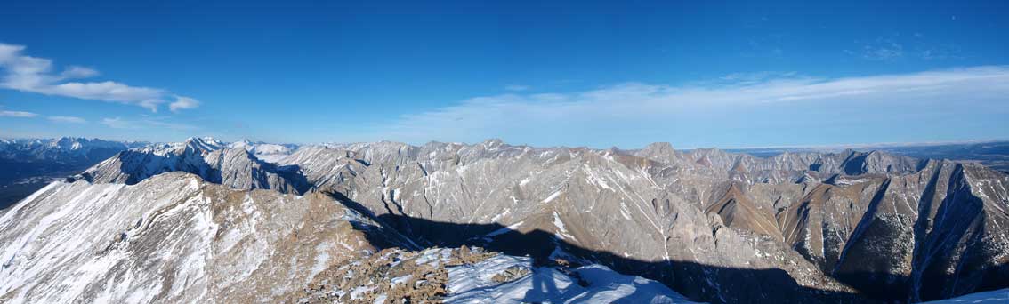
The other side, mostly unnamed peaks.

It was my birthday, and a peak is a perfect b-day gift!

Zooming-in towards Fairholme Range. You can also see Mount Aylmer
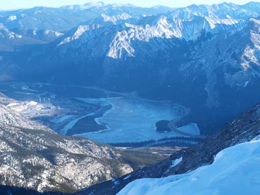
Lac des Arcs
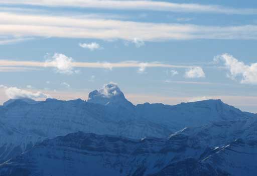
Mount Lougheed
Mount Assiniboine
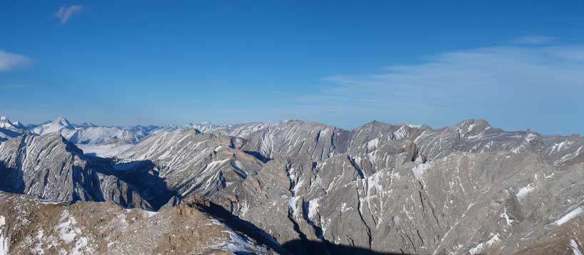
Unnamed peaks towards NE
On the way down, I stayed on the ridge all the way until the last false summit and this route proved to be both easier and more scenic. I retraced my footprints once entering the woods and I couldn’t believe I made the trail all the way to the treeline. Hopefully there would be people doing this mountain in the following several days, so they don’t need to do the massive trail breaking thing. Even though I tried to run down, I was forced to watch sunset on the mountain again. But it wasn’t too dark by the time I made back to parking lot.
Looking back towards the summit form the descent
Crossing a snow slope
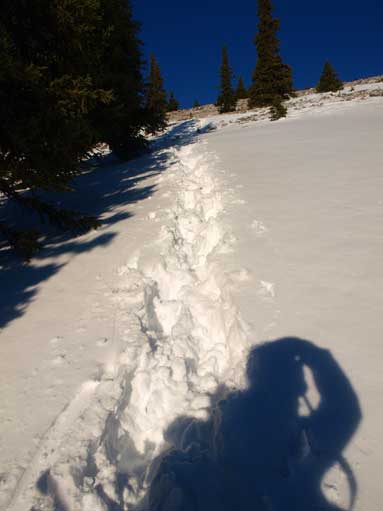
Retracing my steps down the forested slope. I did all the trail-breaking by myself…
Three Sisters
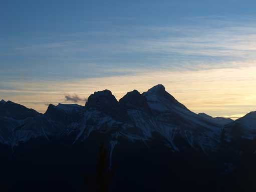
Sunset over Lawrence Grassi
Mt. Lougheed
Now I was practically exhausted but since the Rockies is such a long drive from Edmonton I had to figure something else out to do for the next few days. The decision was made to attempt Mt. Fortune as a snowshoe ascent but I again, didn’t manage to wake up early enough, and the deteriorating weather forced me to turn around right after crossing the lake. After that I was very demotivated to drove home.

Hi Steve. I’m not a climber, but this is a cool site! Keep climbing and keep writing! Very enjoyable to read.
Hey Steve! Great site I have a few questions about this one. Can you reply back?
Thanks. Lemme know what you need.