Shields Peak
December 28, 2015
2091m
Lizzie Creek / Lillooet Lake Road, BC
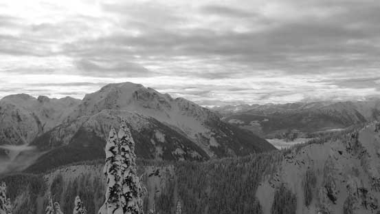
Shields Peak is rather impressively looking, but in reality it’s just a bump along Famine Ridge that extends north-eastwards from Cloudraker Mountain. In summer time one often traverses up and over this summit en route to Cloudraker Mountain but on skis it’s often bypassed on the south side. On the Day 4 of our Christmas – New Year ski trip Alex, Ben, Alan and myself decided to tag Shields Peak as a separate trip from Cloudraker Mountain’s ascent, so after traversing over Tarn Peak we started plodding towards this objective.
Tarn Peak to Shields Peak ski ascent route. GPX DL
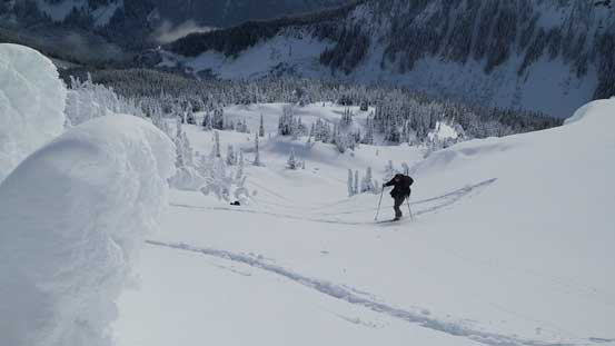
The broad ridge that runs from Long Lake, up and over Tarn Peak to Tarn/Shields col appeared super easy on the topo maps, but in reality it’s far more undulating and complex. In summer I’m sure the terrain would be quite bluffy and in winter we had to deal with lots of steep rolls and up-and-downs in the micro terrain. Some low clouds rolled in too obscuring our visibility and we were back in the game of white-out navigation in no time. Alan decided to turn back as he’s having some issue with his ski boots but Ben, Alex and myself continued on. With good attitude and lots of perseverance we managed to overcome this confusing terrain and by the time we hit Tarn/Shields pass the clouds lifted up and we knew it’s going to be a good day ahead.
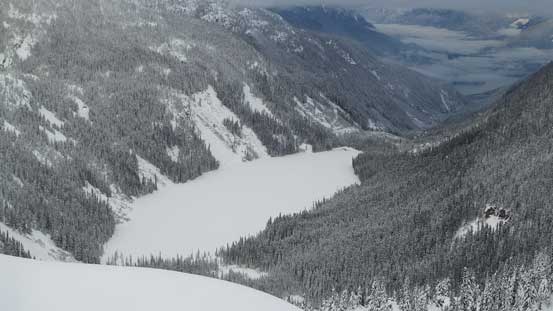
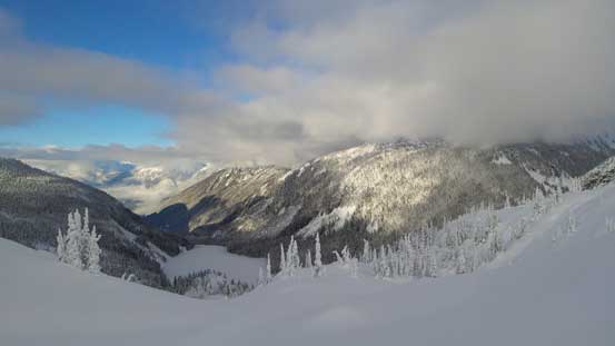
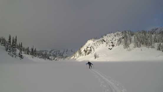
A view looking down at Lizzie Lake from the undulating ridge
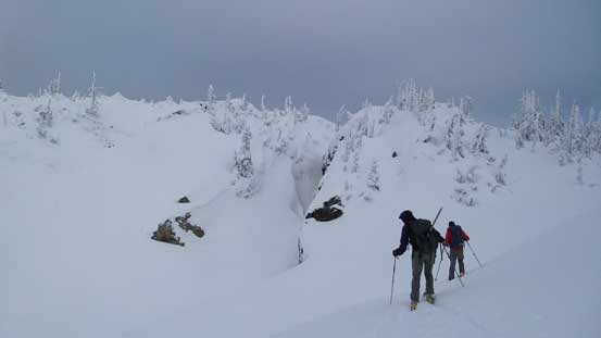
Confusing micro-terrain
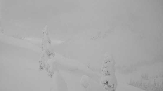
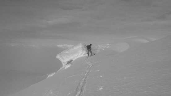
White-out conditions made some interesting navigation…
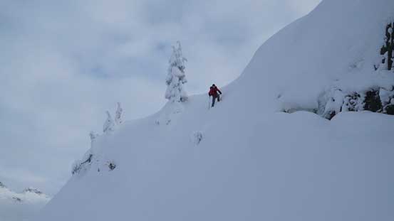
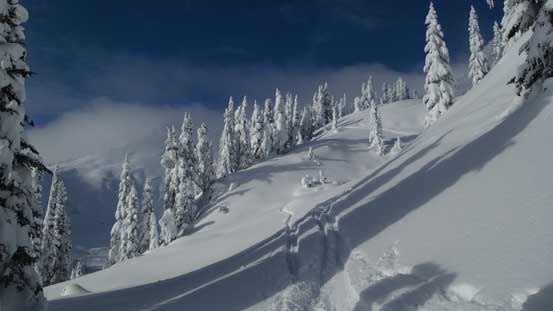
We ended up having to descend this super steep roll…
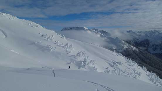
Our original plan was to attack Shields Peak via the direct NE Face but upon inspecting closely we decided against thank to a massive cornice hanging above the face. We opted for the easier, albeit longer option – around the east face and up the south slopes. We made a straight line traverse due south for roughly 1 km crossing numerous big slopes and then ascended up and around a bench. We then made to the broad south ridge so now the game became simply plodding up, although the terrain appeared fairly steep from below. There’s really not too much to say about the ascent via south slopes. The grade was fairly sustained and got steep about 2/3 of the way up. We opted to ascend a gully feature to overcome the steepest band and after that we made to the broad upper plateau.
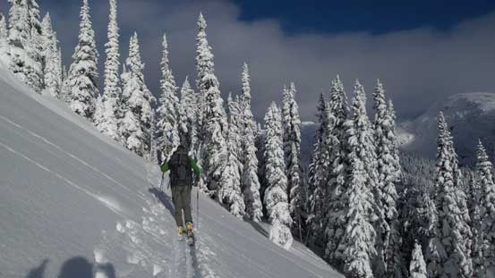
Traversing along the east slopes of Shields Peak
One of the many steep slopes that we traversed across
Looking upwards towards our objective

Ben looks tiny comparing to the surroundings
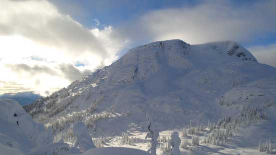
Snow Pillow Peak to the south

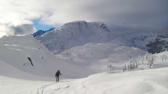
Alex skinning up with the majestic Cloudraker Mountain behind
Switch-back up this steep gully
Gaining height and the view opening up!!
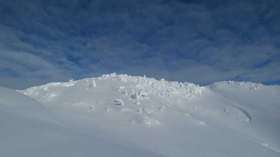
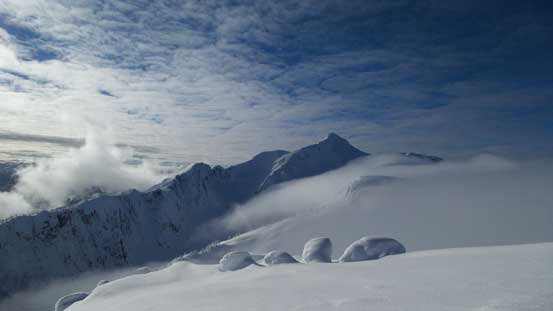
The upper plateau
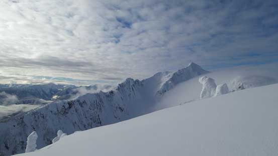
Looking across towards Cloudraker

Another look at Cloudraker
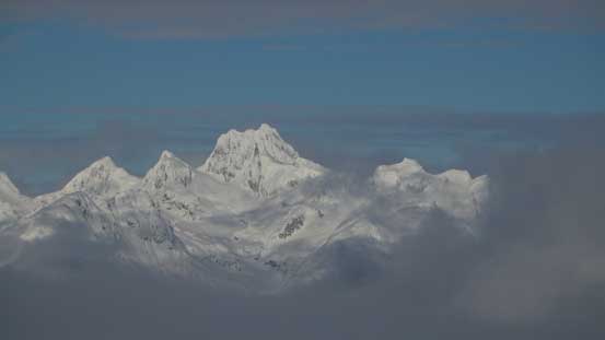
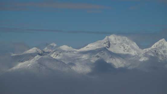
There’s still fair amount of distance and elevation gain to reach the summit despite the appearance. We got to ascend another roll but then we broke through the layer of low clouds. The reward was the first set of incredible views of this trip as we traversed the narrow and corniced ridge towards the true summit.
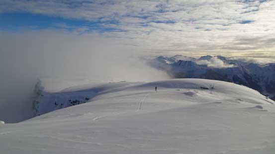
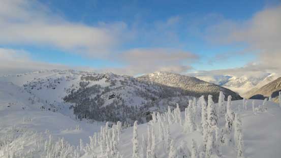
Looking back along this plateau area
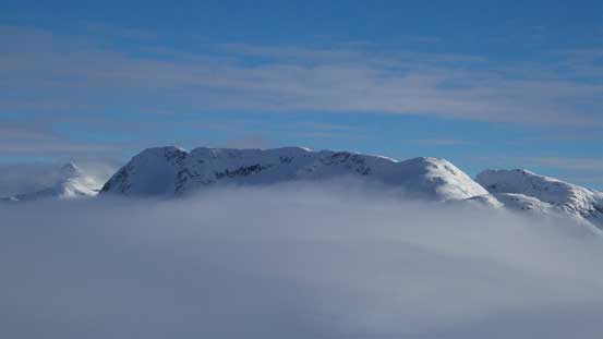
Long Peak poking through the low clouds – our first objective in this trip
Almost there, looking back
Alex approaching the true summit
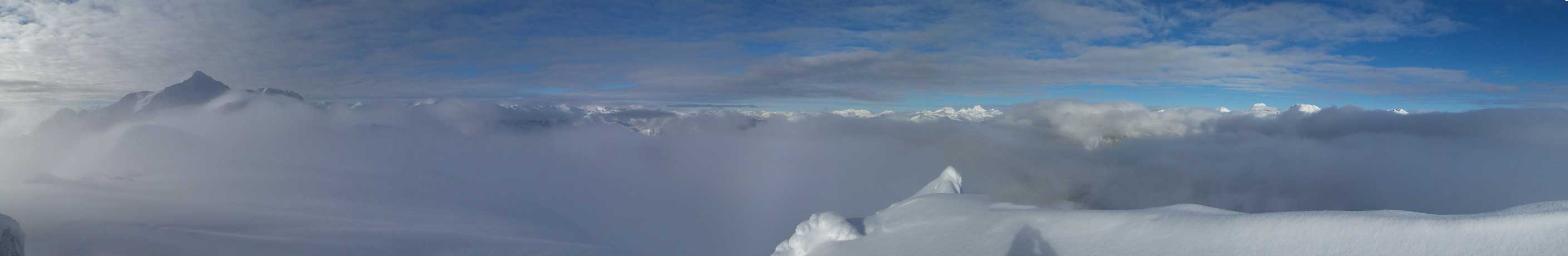
Summit Panorama from Shields Peak. Click to view large size.
Nahatlatch Peak left of center south of the Stein Divide
Meditation Mountain poking out (center)
The majestic S. Face of Mt. Matier – highest in Joffre Group
Slalok Mountain is trying her best to compete with Matier…

Cloudraker Mountain – our objective for Day 6.
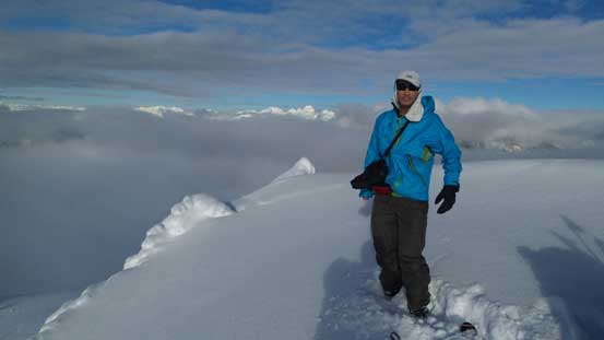
Me on the summit of Shields Peak
We briefly considered the nearby Famine Mountain but the descent down to Shields/Famine col appeared very steep and it’d be white-out navigation again so we’d rather get back down the south slopes before any clouds rolling in. Flat light skiing sucks and I was especially not looking forward to that. Down we went the skiing was awesome on the soft powder and in no time we were back to the long east face traverse. Alex and Ben dropped a super steep line down to our skin tracks which was too advanced for me so I just went back the same way we came up. And after that it’s the long and tedious plod back to Long Lake. This time we explored a better route option in good visibility bypassing Tarn Peak that’d serve as our skin tracks for the next two days.
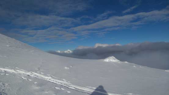
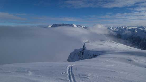
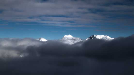
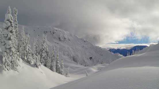
Another look at the low clouds

Time to go down.
One last look at Cloudraker Mountain

Our ski tracks!!
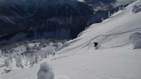
Alex dropping in this steep gully

Neat snow feature
Looking back at our objective and our tracks
Down, down…
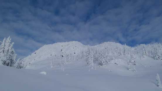
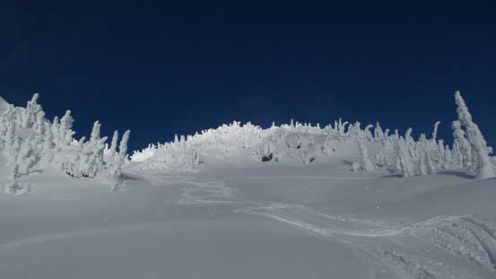
Neat terrain

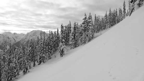
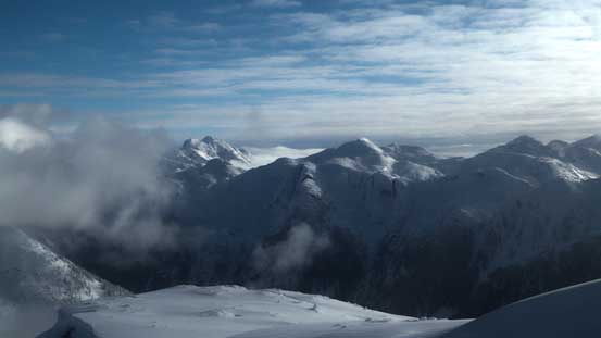
Finished the S. Face descent, looking across towards Long Peak (in the clouds)
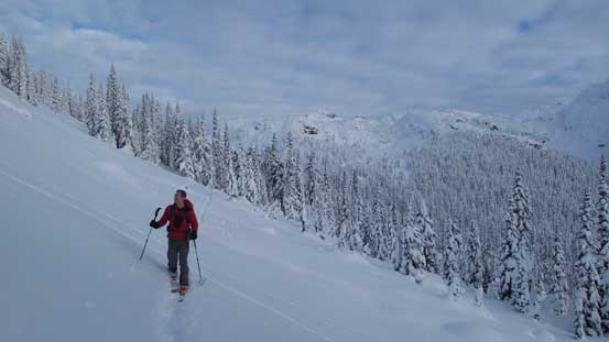
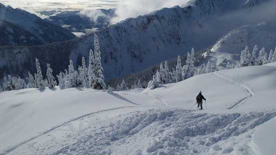
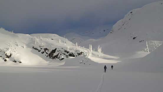
Skinning back along our tracks

Skinning up from Tarn/Shields pass
Looking back at Shields Peak
A view of Haven Peak (L) and Beacon Mountain (R) – objectives for the next day
Looking northwards across Lizzie Lake
Lots of undulating terrain no matter where you go, but we did find a more efficient way
Losing some height here
Skinning across Sapphire Lake
And, plodding across Long Lake
The rest of the descent was uneventful back to the cabin and Alan had already made a good fire and some hot water. The exciting moment for this evening was when I got my Delorme inReach message saying the rest of this trip would be all sunny and avalanche condition L/L/L. We’d follow our schedule for the next day up Haven Peak and Beacon Mountain but at this point I was really expecting something major to come down in this trip.
