Red Mountain (Mission)
October 22, 2020
585m
Mission / Fraser Valley, BC
“Red Mountain” is just another local forested pimple in the vicinity of Mission and right next to the small community of Steelhead. There are two summits on the forested ridge with the north summit taller than the southern one, but none of them offers much in terms of views. There are biking and hiking trails as well as decommissioned logging roads that run pretty close to the summit. I understand that the locals do use these trails for exercise but from peak-bagging perspective an ascent of “Red Mountain” falls into the category of dumpster-diving. There’s literally nothing to recommend.
To me a peak like this is best used to introduce some non-hiking friends to the outdoors, and in this particular day Angela and I had a few hours in the morning free to do something. I did have to get back home in time for work at 2:30 pm. We decided on this objective because it’s close to home, mostly on a trail but still offers about 10 km of exercise. We left White Rock at around 8:30 am and made to the trail-head in about an hour and half.

Red Mountain hiking route. GPX DL
Right off the bat we made a mistake by walking on the obvious and paved road but that led us into a private and gated shooting zone. We didn’t feel like risking trespassing so backtracked and found the correct trail-head. From there we linked up several trails onto the south slopes of the south summit. I had to check the GPS multiple times to make sure we picked the correct path, but the overall trail quality exceeded my expectation. There was however, zero view from the south summit so we didn’t even bother to stop but immediately descended towards North/South col.

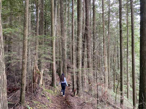
Angela starting the hike
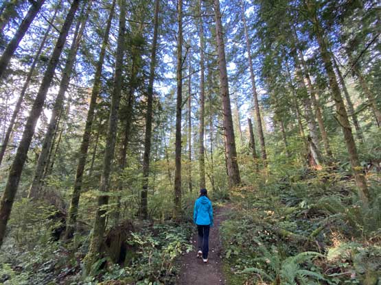
The typical forest on the lower slopes
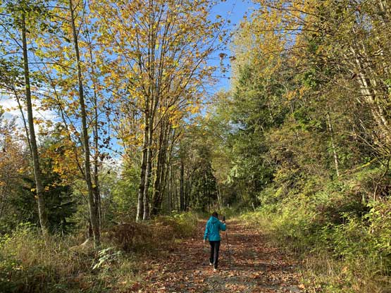
After a while we briefly got onto a logging road

We picked up the correct trail again, into the forest
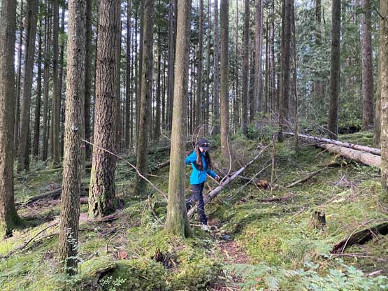
There were only a few blowdowns
Angela offered to carry the heavy pack to take loads off my back

As much as the views went on this hike

Through the trees we could see some lowly bumps of the Chehalis area
At the col we picked up a logging road and followed it down and then up towards the north summit. The road eventually narrowed down becoming a single-track trail. To reach the highest point of the north summit we had to leave the main trail. I thought some bushwhacking was required but there was actually a faint trail that we could follow (to my surprise). There’s a heli pad as well as a communication tower on the north (true) summit but no view.

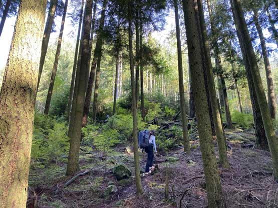
The logging road that led us towards the true summit

To gain the highest point we had to thrash a little
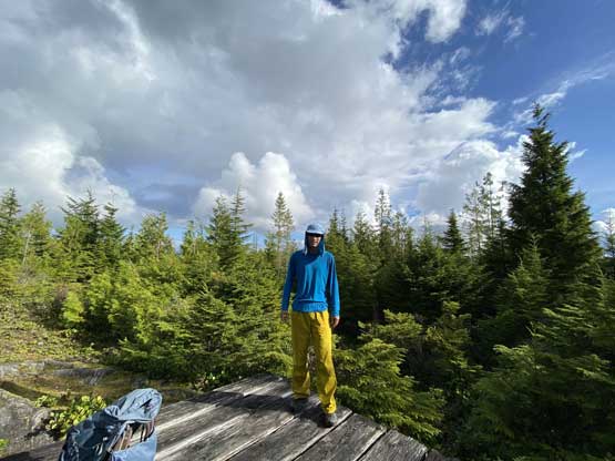
Me on the summit of Red Mountain

Angela on the summit taking a well-deserved break
After having lunch on the summit we thrashed back to the main trail and continued a northwards bearing down one of the trails that had a black marker on the map. The trail wasn’t very difficult though but did have some steep and slippery sections. This eventually brought us back to the road a couple hundred meters north of where we started, thus completing a loop traverse. We then drove back home and I was not late for work.
Angela starting the descent

Me on the trail

Another photo of Angela hiking down

We got hit by a brief rain shower
