Wells Peak
July 13, 2017
1863m
Hope, BC
Wells Peak is not a sexy objective unless it’s attacked from Skagit Valley up the SW Face. Nowadays almost all ascent parties goes up its gentle NE aspect. With the engineering of Hope Mountain FSR as well as “Wells Peak Trail” by the locals getting to the summit of Wells Peak is nothing fancier than a mere couple hours’ hiking. The only deterring factor is the roughness of that road. A high clearance 4×4 is required but those who regularly go out exploring the back-country of SW BC should have a reliable 4×4 vehicle anyway. The short nature of this hike makes it an ideal objective when there’s a time constraint or a lack of ambition. It turned out to be the case for Al and myself on this particular day. The weather was marginal and then Al had to get back home before 7 pm for a softball game.
Despite all of those down factors our plan was to ascend both Wells Peak and Hope Mountain. That meant we had to leave home early and for once again Al volunteered to drive so I went into the sleeping mode in the car right away. I didn’t wake up until the town of Hope and then we killed some time in the local McDonalds. The weather was completely overcast. The forecast was “clearing later in the afternoon” although we had no clue when that would happen. After about half an hour we figured it’s pointless to wait for any longer so up the FSR we went. There was one deep creek crossing, a long stretch of boulders and at least 50 water bars. On top of that the grade was relentlessly steep as we’d gain more than 1000 meters in a course of 8 km distance. Nonetheless Al’s stock Toyota got us there.
Wells Peak and Hope Mountain standard route. GPX DL
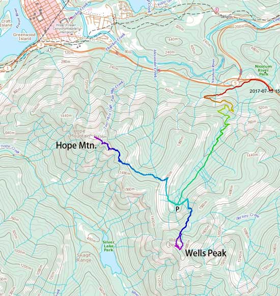
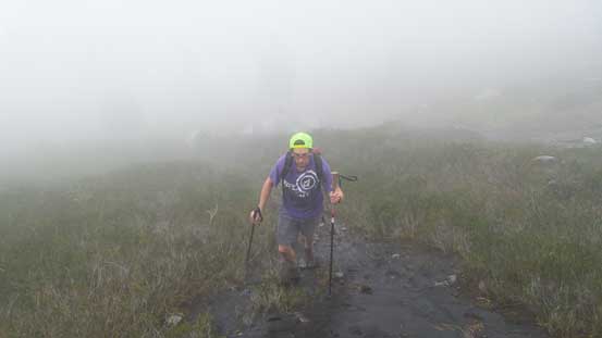
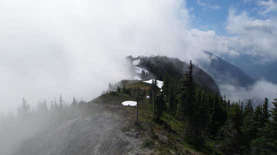
There’s still no sigh of weather improvement but up we went anyway. It really doesn’t matter which one you do first (Hope vs. Wells) but we opted for the shorter, but steeper Wells Peak first. The local crew surely did an excellent job maintaining this trail. The first section was travelling up an abandoned logging road but the alders were all cleared for foot travel. And then we merged into mature forest with increasingly steep grade. The trail has quite a lot of switchbacks and other than some slippery stretches I cannot say anything bad about it. It didn’t take us long to break out of the forest and into the alpine meadows, and of course the weather was still soaked in. The trail became indistinct and we also encountered patchy snow so much of the navigation was done by GPS now.
Ascending out of the forest now in a thick layer of mist
Picking up some zig-zags through snow fields
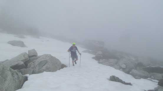
The general idea was plodding up this broad NE slopes while trending slightly up climber’s left but for some reasons we went too far “straight ahead”. As a result we encountered steep cliffs guarding the summit block and had to traverse a long ways due climber’s left in searching for a break, which itself was a loose 3rd class. This section was sketchy and miserable wearing hiking shoes. Thankfully the clouds lifted up briefly when we reached the summit.
The chossy 3rd class break (off-route) to gain the summit ridge

This is the summit ridge from where we topped out
Looking back shows several lower bumps
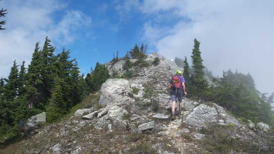
Al marching up towards the summit
Mt. Stoneman et al. on the west side of Skagit Valley
This is the lower NW peak of Wells Peak from the summit

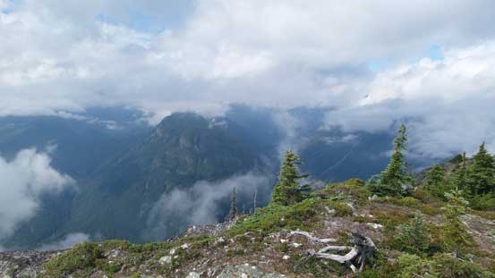
It sure is a long ways down to the bottom of Skagit Valley

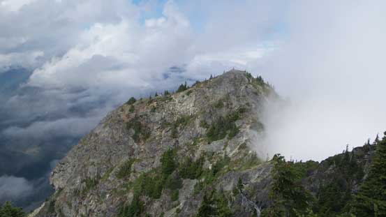
Cool clouds formation on the ridge
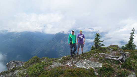
Al and myself on the summit of Wells Peak
After a while we figured it’s time to start descending. We could have lingered a bit longer but thank to Al’s time constraint we really had to move on. There’s no way would I go back down that sketchy 3rd class section so we continued down the SE Ridge for a while, up and over a subsidiary bump and sure enough, we found the flagged trail. The upper part was still very steep but at least it’s now on a trail and then we entered the clouds again. The trail was soon lost in the mist so the GPS was pulled out again. We traversed a bit of ways towards skier’s left and after rejoining our ascent’s GPS track it didn’t take us long to find the trail again. The rest of the trailed descent was slippery, but fast.
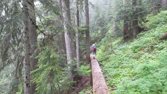
Hiking down the trail
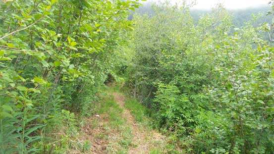
Back to the logging road section
After forcing in a loaf of bread we started our next objective – Hope Mountain.
