Doe Mountain
March 13, 2017
1544m
Sedona, AZ
In the northern/central state of Arizona there’s an area called “Sedona”. It’s not a national park nor a worldwide famous tourism attraction but its red sandstone formation is pretty well-known here in North America. The towers and buttes aren’t as impressive as the ones in Arches or Monument Valley a bit to the north in the state of Utah, but still, they’ll definitely impress anyone who hasn’t seen this type of geology before. Knowing this beforehand I knew I had to pay this area a visit at some point but the actual date was a purely random decision. On the 5th day of this past spring break vacation I drove to Sedona after completing a traverse of Agassiz Peak to Humphreys Peak (Arizona state’s 1st and 2nd highest) and decided to do a short hike in the evening.
I had a couple options but in the end I settled on the least aggressive one. Doe Mountain is just a low elevation mesa sticking out of the desert floor, but Sedona is an area that “low” doesn’t necessarily mean “worthless”. Among the few peaks I did in this trip, it was actually those “low elevation” hikes that impressed me the most. The reason is simple as those red towers are more impressive when viewing from below rather than from above.
The hike up Doe Mountain is well documented – a mere stroll with only 150 m elevation gain. To soak in the views I would have to skirt around the edge of the mesa adding some distance to the stats, but not by much. There’s no point in starting too early in the afternoon and instead, I waited until 4 pm before making the drive over to the Dry Creek Road on the west side of the region. Most of the tourists were gone, the temperature had already dropped and the sunset would be a mere 1.5 hours away so by any mean this seemed pretty much the perfect idea.

Doe Mountain hiking route. GPX DL
There’s not much to document except that once starting up the trail it was still very hot. I kept my pace well below “normal” in order not to get overheated. Once getting on top of the mesa plateau (with a few hands-on steps near the top) I decided to walk around the edge in a clockwise direction to check out the views. Initially it was pretty exciting but soon I realized it’s going to take quite a while and the views wouldn’t change by much, so took a short-cut back to the trail. I settled on the eastern edge for a while but decided to keep walking around and see.
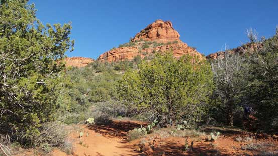
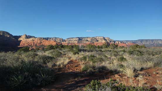
The start of the hike
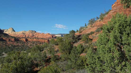
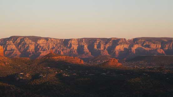
The lack of vegetation in desert means you have views for most of the time
Looking back at Boynton Pass and Fay Canyon area

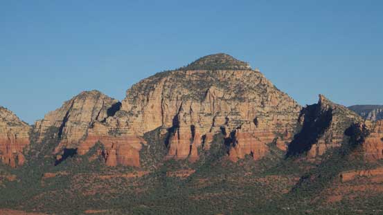
This is Bear Mountain – another popular hike from the same parking lot
Gaining height. The break through the cliffs is pretty obvious
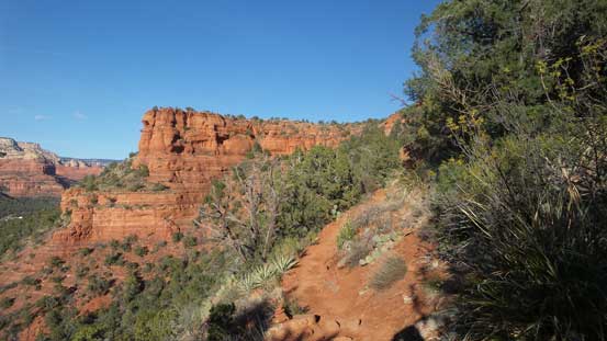
Arriving at the plateau of the mesa

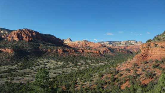
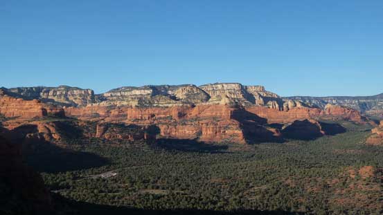
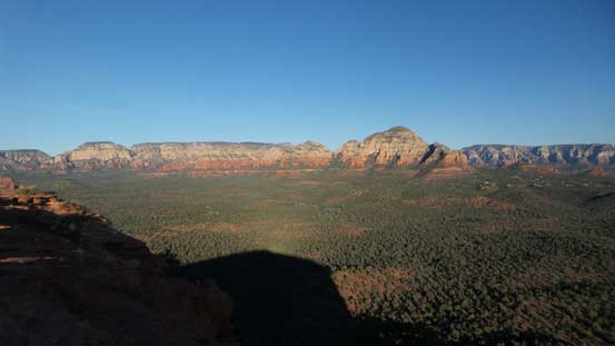
Expansive views looking north
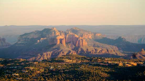
Capitol Butte is one of the most impressive peaks out there – objective for the next day
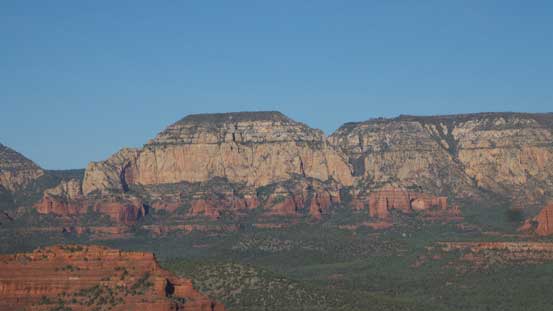
A closer look at Lost Wilson Mountain which is apparently seldom climbed
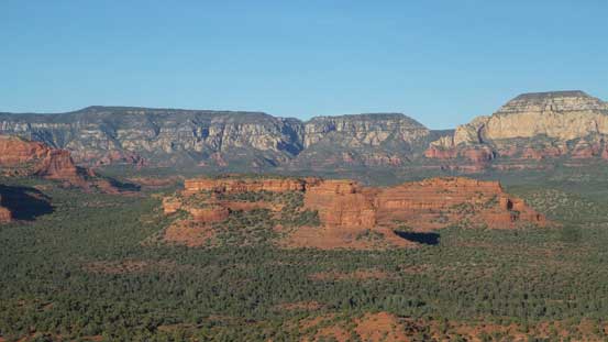
In the foreground is Mescal Mountain
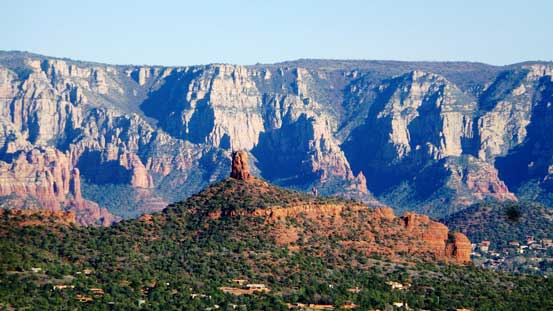
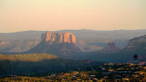
The striking Chimney Rock in front of Munds Mountain

Wondering around
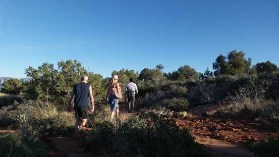
Back to the trail I caught up with this group
These are some unnamed peaks by Boynton Canyon
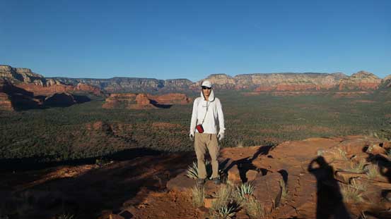
Me on the edge of Doe Mountain
Indeed, I found a better viewpoint on the far south-eastern corner. I could see as far as Courthouse Butte and Bell Rock area and with sunset a mere half-an-hour away I abandoned the “loop idea”. The evening alpenglow was beyond imagination especially for someone new to this type of red sandstone area.
A wider shot of Capitol Butte and Wilson Mountain on the skyline
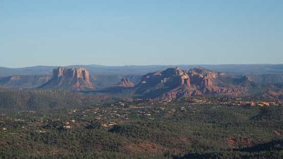
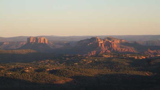
Courthouse Butte and Cathedral Rock with the tiny Bell Rock in between. All three are at least 5.6

Looking down the shear drop on the SE corner of the mesa
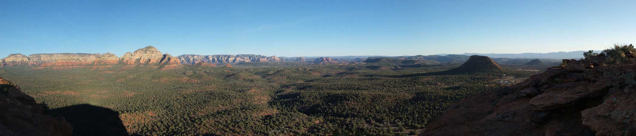
Panorama view. Click to view large size.
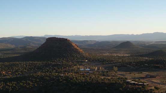
In the foreground is The Cockscomb. – another easy peak that I didn’t bother to bag
It’s that time of a day again!
Evening glow on Cathedral Rock
Evening glow on Courthouse Butte
And, evening glow on Munds Mountain

Capitol Butte

Chimney Rock in front of Munds Mountain

One last look at Capitol Butte
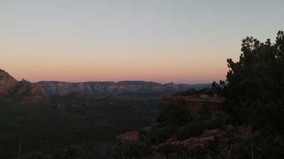
It’s dusk now!
Eventually it’s time to go back and with the Sun already dropped behind the horizon the hike down was quite pleasant. In short time I was back to the car and then leisured drove back to “West Sedona”. And then it was those evening routine things. The sequence went with a pretty good Mexican dinner (quite cheap too), buying supplemental things in Safeway and then killing time in McDonalds. Eventually I figured it’s tired enough to go back to the car and sleep. The parking lot by McDonalds and Safeway was too bright and busy for my like (even at night) but there are plenty of places to park along Dry Creek Road and any of which would make a perfect car-camping spot.
