Rainbow Mountain
November 8-9, 2015
2314m
Whistler, BC
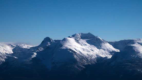
Rainbow Mountain is a rather isolated and prominent summit dominating the NW side of the village of Whistler, visible from almost every good vantage point nearby. In fact, over the past few trips I had my eyes constantly on this objective and some brief research led me to the conclusion that its standard route via Rainbow Lake can be served as a snowshoe trip once there’s enough snow to cover the boulder fields. A nearby summit unofficially known as “Gin Peak” can be used as either a “Plan B” or bonus objective. With this past Monday shaping up to be the only bluebird day in this week my decision was fairly easily made. The downside was obviously the arduous trail-breaking combining with the shortened daylight time and my solution was to knock off the approach on Sunday afternoon.

Rainbow Mountain and Gin Peak via Rainbow Lake. GPX DL
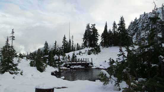
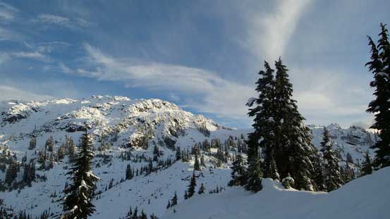
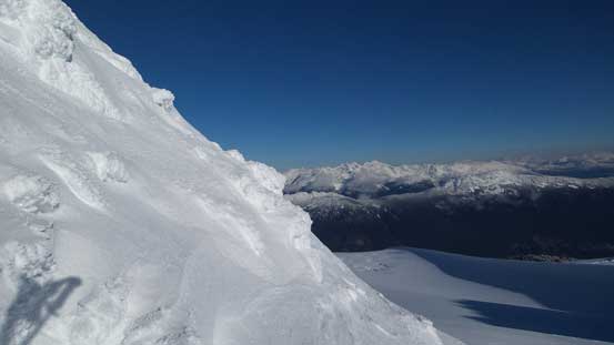
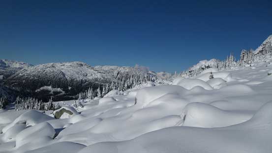
There’re two ways to approach this mountain – the traditional option from Alta Lake Road along 21 Mile Creek and the shorter route via Hanging Lake starting from near Whistler Olympic Park. I opted for the traditional route since it’s a bit more well-known hence I’d have less homework to do… I correctly located the trail-head after driving up the winding, but well-signed Alta Lake Road and started the approach at noon. There were a few branches on the lower portion of this trail and the general direction was to follow the most obvious one. After a while this trail ended and merged to a deactivated logging road and the original Rainbow Lake trail started from the end of this road. This trail was very well maintained except for the second critical bridge being removed… That creek was raging pretty high and I ended up wondering around for quite a while to find a reasonable place to boulder-hop across. After that bit of excitement I started to encounter continuous snow but thank to the work from previous parties the track was very packed down.

One section of this trail follows this logging road up
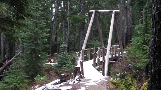
There’re two well-built bridges. Too bad the second one was down.

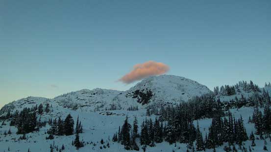
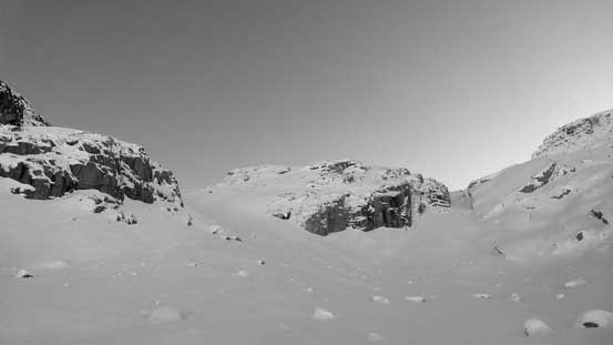
Started to encounter snow. Note the bad weather…
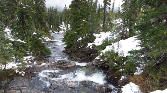
The upper 21 Mile Creek
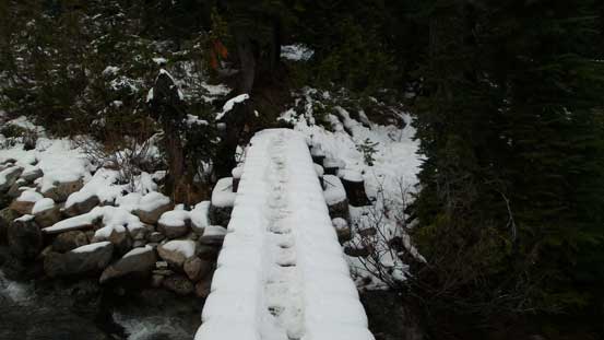
Bridge crossing 21 Mile Creek was slippery
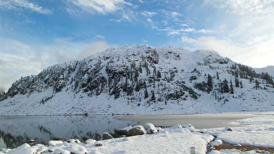
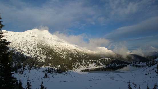
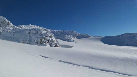
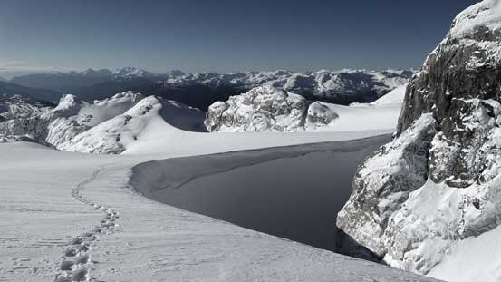
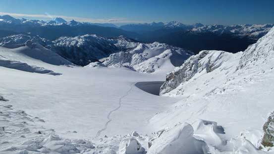
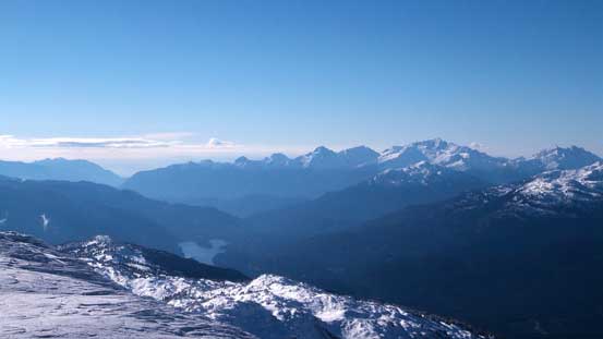
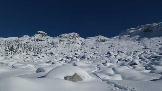
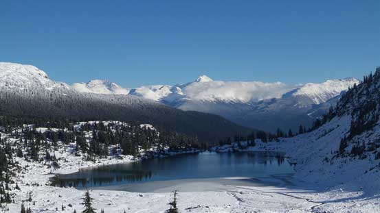
The lake was not frozen yet which was a bonus (more dramatic views) but the surrounding was already a world of white. Judging by the tracks I could see that most hikers stopped here but there were a few who pushed a bit further. I kept following the tracks contouring the lakeshore and after about halfway around I got tired of the post-holing and strapped the snowshoes on. Meanwhile the flurries had finally stopped and then I could see the weather starting to improve. But unfortunately for me the signs were all over the place saying it’s not allowed to camp by Rainbow Lake. The closest legal camping spot was directly ahead of me on the divide north of Gin Peak en route to Hanging Lake. The boot tracks stopped soon (too much post-holing for them) and I continued up to the ridge crest where I found a nice spot to camp on the opposite side of this divide. The post-holing was terrible even on snowshoes thank to the thin and rain-saturated snowpack combining with warm temperature.
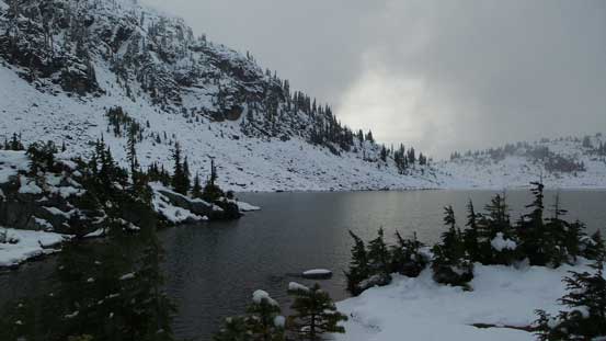
Arrived at Rainbow Lake
Looking back at the outlet of this Lake. There’s a bridge but I didn’t investigate it.

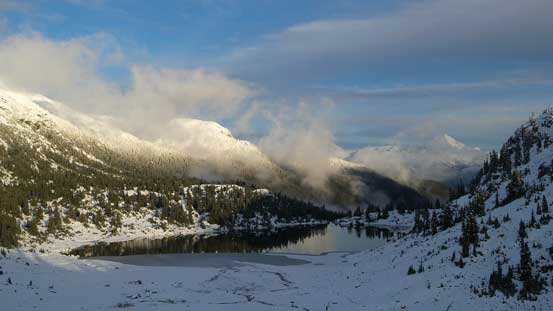
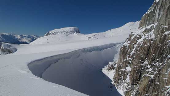
Rainbow Lake
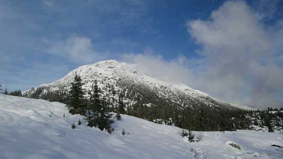
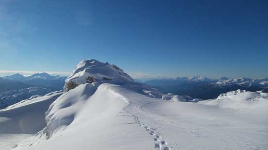
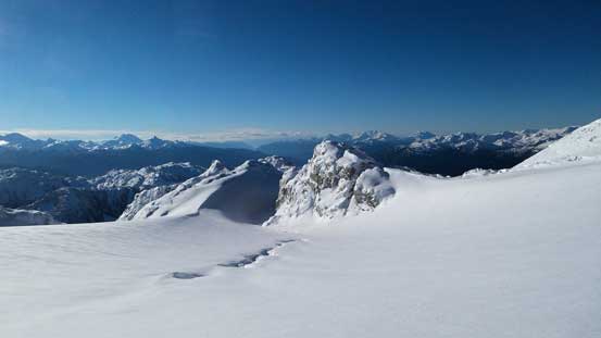
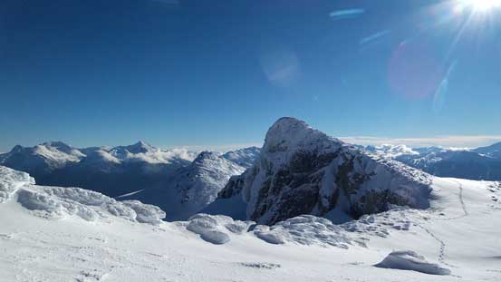
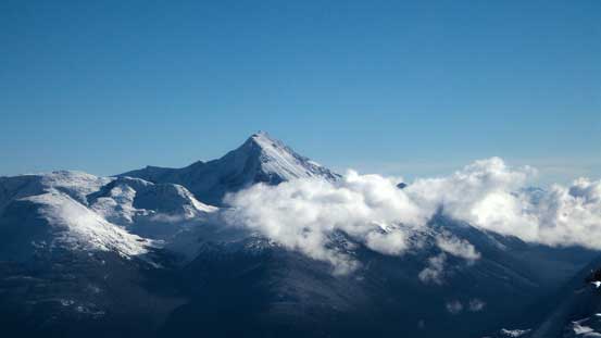
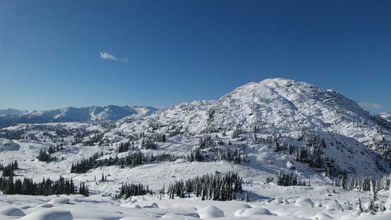
Gin Peak is the one immediately south of Rainbow Lake

Reflection of an unnamed peak in the Lake
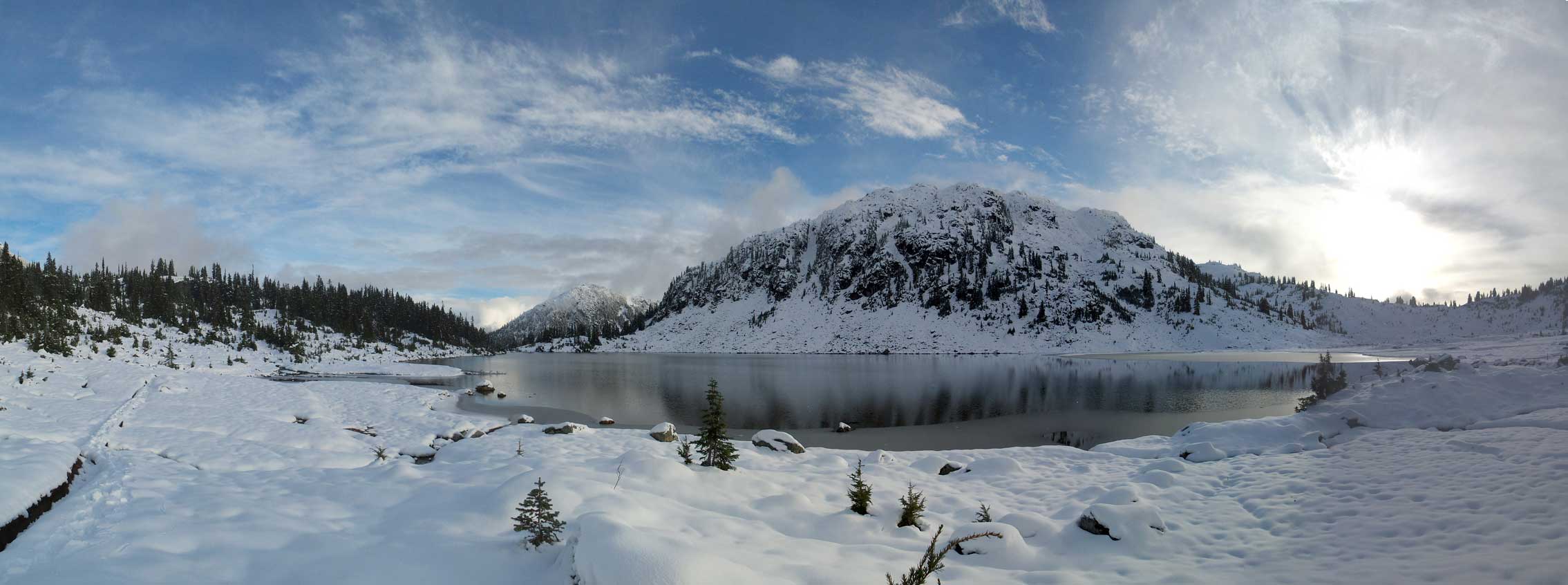
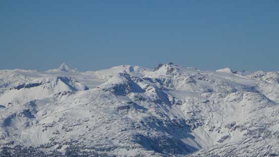
Panorama of Rainbow Lake and Gin Peak. Click to view large size.
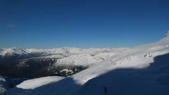
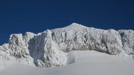
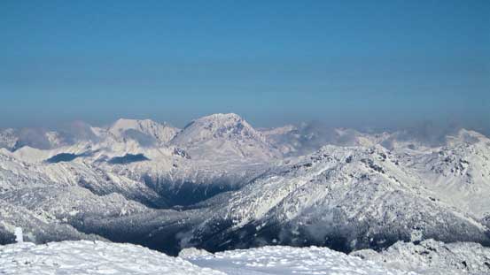
A look at Rainbow Mountain – my first objective
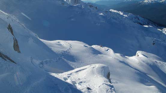
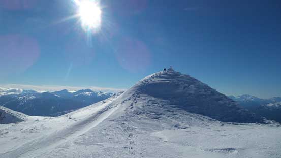
Trudging up the divide. Looking towards Gin Peak – my second objective
Rainbow Mountain and Lake
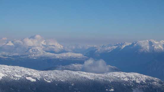
Rainbow Lake in late afternoon
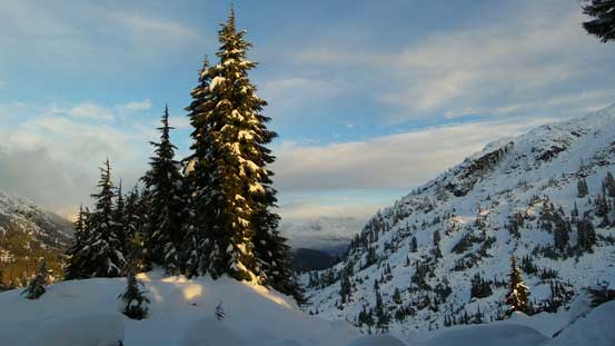
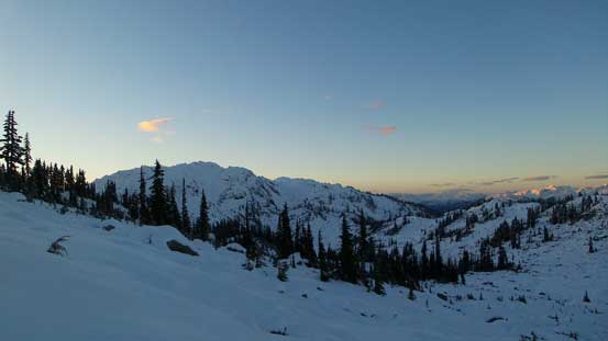
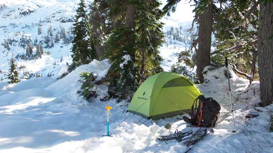
A view from camp. Gorgeous spot to hang around
The night was peaceful (windless and not too cold), but it’s such a long night to spend at this time of a year… Thankfully I had my iPod handy to kill time before eventually falling asleep by about 10 pm. The following morning I woke up just after it’s getting bright enough and started just before 7 am. I was pleased to see the dramatic improvement on the travelling condition after a deep overnight freeze. From camp I initially went up along the ridge crest but soon started side-hill contouring with slight down-hill travel back into the bowl above and north of Rainbow Lake. The main creek was still flowing so I grabbed my water there. Once across the creek I more-or-less maintained the general direction towards the broad pass ahead but went a bit higher on climber’s right. There were young trees and boulder fields creating lots of weak spots. I eventually got tired of this side-hill travel (more prone to sudden post-holing in those weak spots) and made a sharp turn to the right aiming straight up the slope. From here I basically followed the scramble route (as per Matt Gunn’s book) but the micro terrain was fairly confusing especially in the winter setting.
Just about to alpenglow.
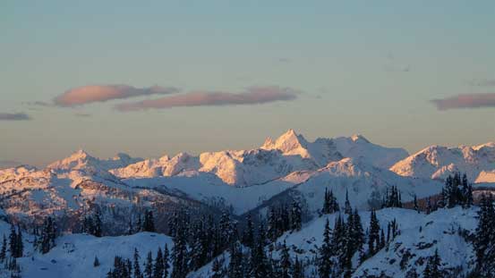
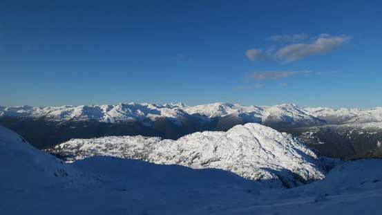
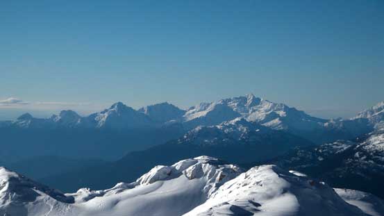
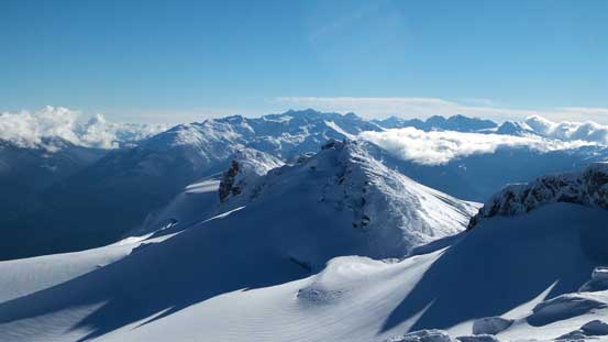
Morning colours over the southern horizon. Gin Peak on left

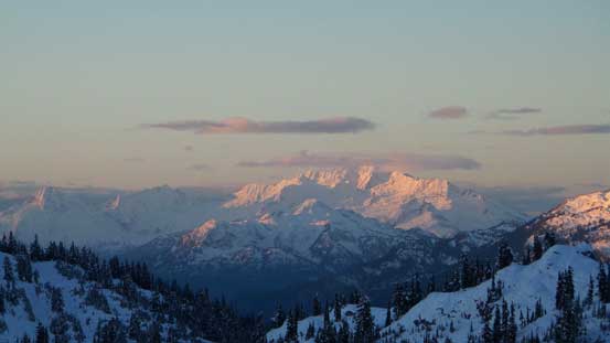
Alpenglow on Metal Dome – Brandywine Mountain Divide
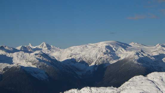
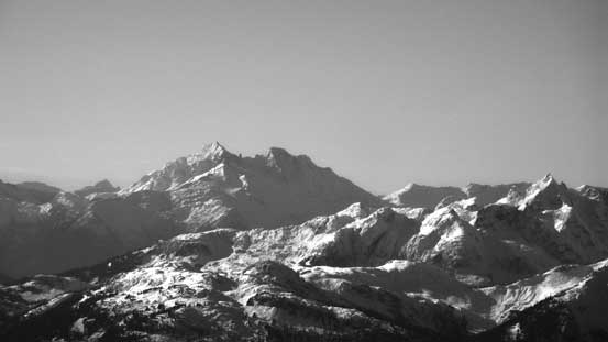
A zoomed-in shot of Mt. Tantalus
And, Tricouni Peak

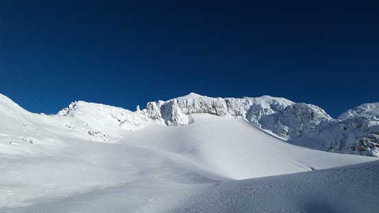
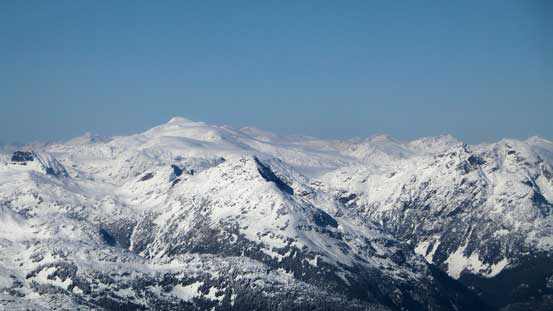
The unnamed peak immediately SW of Rainbow – in sight for pretty much all day
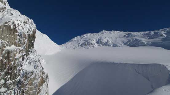
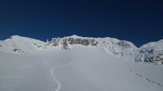
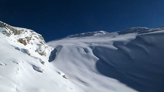
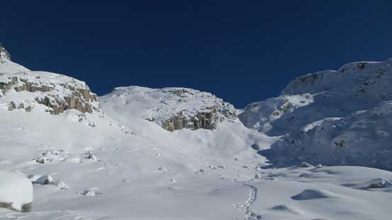
After negotiating a few more partially covered boulder fields the slope eventually narrowed down into a confined bowl where the wind started to slowly pick up… Good thing I forgot my balaclava at home and I had to constantly cover my face using my gloves… Brutal exercise but although the wind didn’t seem to die down it wasn’t getting any worse… From this bowl I veered climber’s left post-holing up a steep and foreshortened gully into the upper draw. There’s more micro terrain in this upper draw but at least now I had the view in sight of where I eventually gonna step onto the South Glacier. Some steep and careful traverses later I made to that point and got my first sunshine of the day. The wind finally died down too but the glacier was much bigger than I imagined with a few sizable crevasses visible.
The lower bowl. I ascended steeply up climber’s left gully
Looking back from partly up that gully – already higher than that unnamed peak
Mt. Cayley is the striking one on left; Powder Mountain is the “snow dome”
The morning was spent in the shade. Windy and cold…
Starting to get higher than the peaks nearby.
A few complex traverses.

Aiming towards that rocky tower. There’s where I should gain the glacier
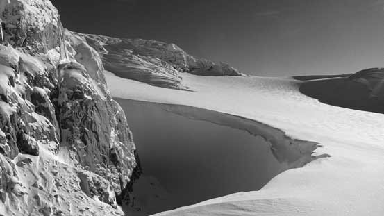
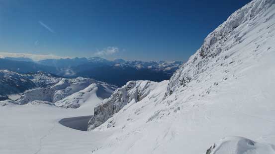
The south glacier with the summit above
There’re crevasses on this glacier…
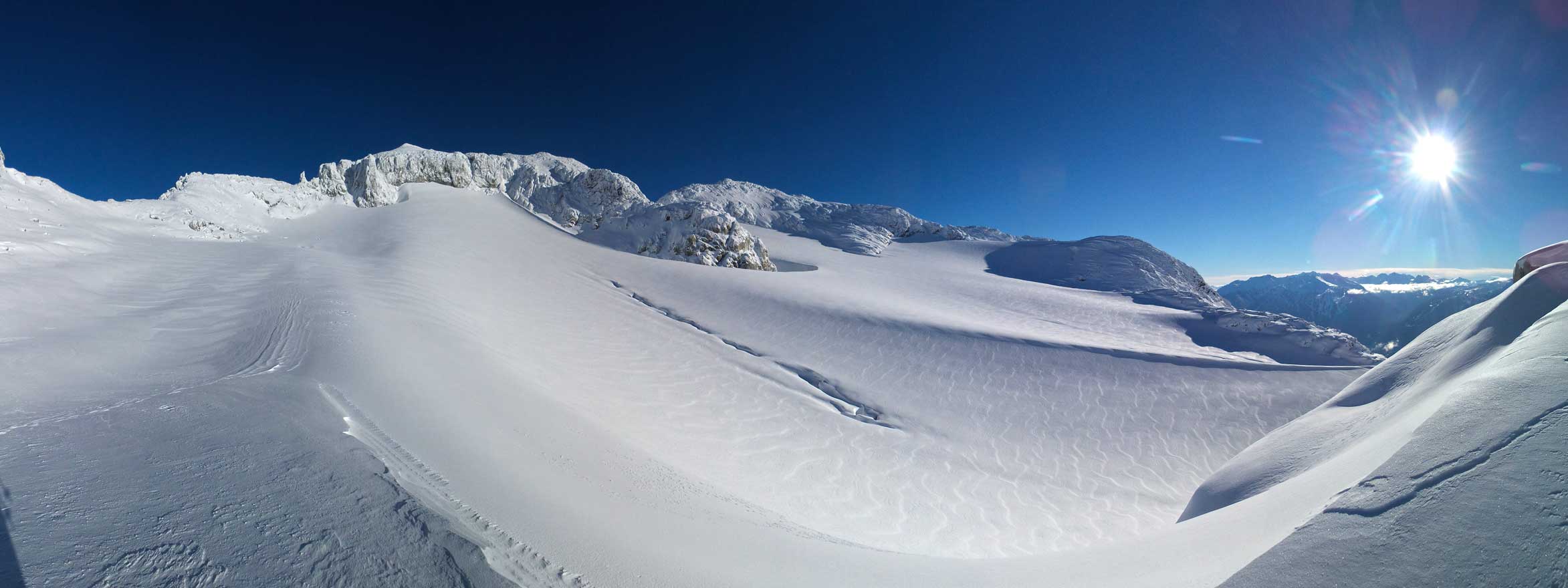
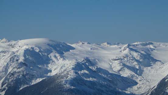
Panorama of Rainbow Mountain’s South Glacier. Click to view large size.
I picked a contouring line avoiding that questionable area and made to a big wind scoop. Around the scoop I got to ascend the gentle slope straight up, exiting the glacier and onto the long undulating SW Ridge. The scramble route goes up the SW Ridge from here on while the ski route drops down the opposite side and ascends the NE Glacier. The ridge option appeared very steep while the NE Glacier appeared to have at least one major crevasse plus what seemed like a poorly bridged bergschrund. I opted for the ridge route. It’s indeed very steep but at least my Lightning Ascents were gripping pretty good on this type of terrain. In short time I arrived at the first highpoint.
A zoomed-in view of the summit block
Looking back at one pinnacle and the place where I gained the glacier
Avoiding those crevasses by contouring way to the left
Looking back from the south glacier

Arriving at that wind scoop, looking up the snow arete
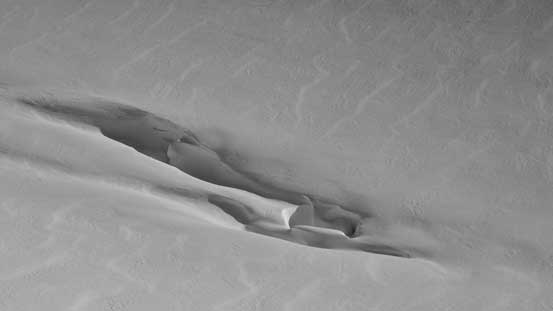
The wind scoop

The same wind scoop, from a different angle
Around the scoop, I finally could see the high col I was aiming at
Tantalus Range – Alpha, Serratus, Tantalus from L to R
The scoop and my snowshoe tracks
Gaining the SW Ridge, looking back
Ahead is that steep section
The NE Glacier on the opposite side of this col
Steep terrain
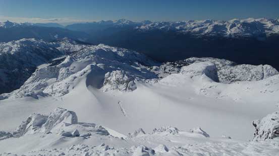
A view from the first highpoint. The summit is somewhere over there.
Looking down at the S. Glacier that I ascended from

Another picture looking down
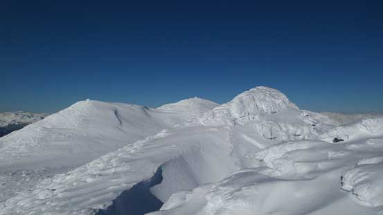
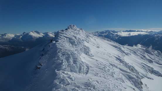
There were more rime covered boulders on the ridge traverse making some careful foot placements (not wanting to break a snowshoe). Descending the other side of this first highpoint I arrived at a “small basin” where a few highpoints were visible ahead of me. I used my GPS to locate the true summit. I made my way trending to the right and then back left. I then checked off the other highpoints on this summit plateau just to be sure. The views were excellent but I couldn’t linger too long thank to the wind…
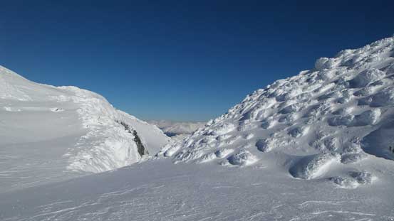
Another col on the long SW Ridge

Here’s a false summit that I bypassed
The same false summit, from higher up
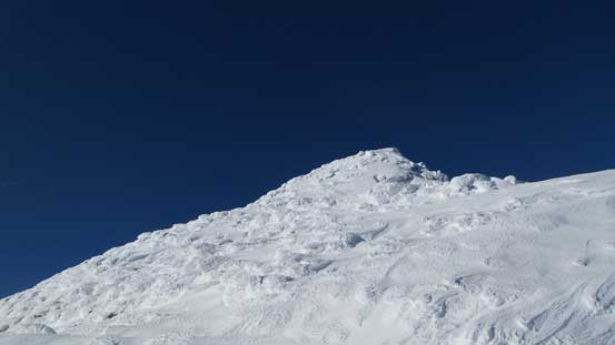
The true summit
The true summit, from a different angle on the plateau
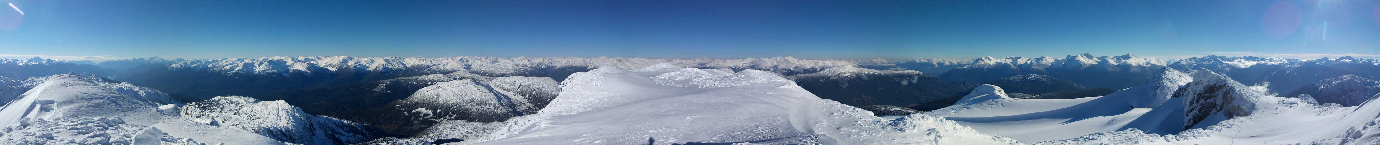
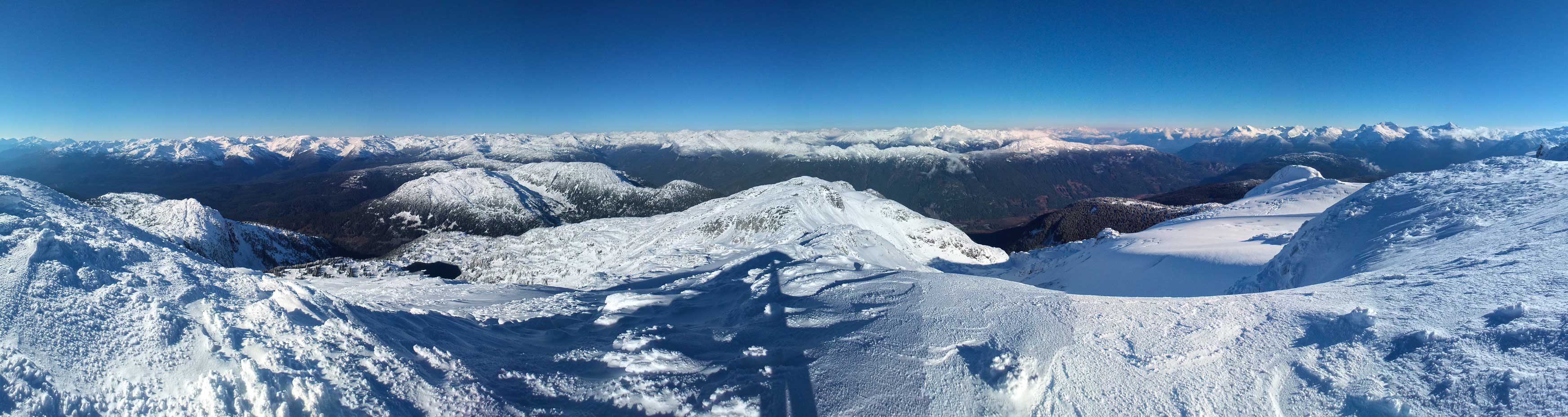
Summit Panorama from Rainbow Mountain. Click to view large size.
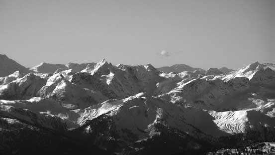
Looking south towards the Tantalus Range
Pelion Mountain and Ossa Mountain (also part of Tantalus Range)
Tricouni Peak in the pointy peak in foreground
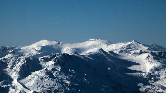
Pykett Peak and Icecap Peak behind the summit of Brandywine Mountain
Powder Mountain is really the SW BC’s version of Snow Dome…
The tip of Mt. Tinniswood pokes behind on left skyline. Callaghan Mountain at center
Torah Peak on Pemberton Icefield
In the distance are peaks by Manatee Peak (behind Pemberton Icefield)
Mt. Sampson is the big one

The multiple summits of Ipsoot Mountain
Peaks north of Pemberton. The Place Glacier Group on far right
Sootip Peak in the foreground

The mighty Mt. Garibaldi and the striking Black Tusk
Wedge Mountain
Mt. Weart (with Mt. Moe to its left and Mt. Cook in front)

Mt. Currie, with Hibachi Ridge on the far right

Beaverly Lake on the west side of Rainbow Mountain
Crevasses on the NE Glacier

Ashlu Mountain pokes behind, right of center. Mt. Cayley on the far left
Those false summits and the NE Glacier
Bumps such as Puma Peak, Puma S1 and Telemagique Ridge in the foreground
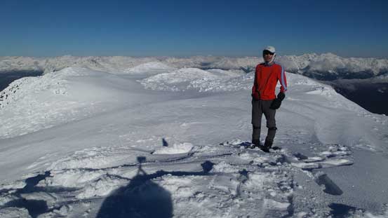
Me on the summit of Rainbow Mountain
Another panorama from the summit. Click to view large size.

One more panorama. Click to view large size.
On the way down I simply retraced my tracks. Descending that steep section from the false summit to the col on the low point of SW Ridge was easier than I thought. After that it’s the fast plunge down the South Glacier. I took a long break on that wind scoop (sunny and windless) before resuming the descent. And as usual for snowshoeing trip I’d simply follow my tracks (or directly beside the tracks if it’s soft powder) hence the rest of the descent was fairly uneventful.

Looking back at the summit and my tracks
Descending the SW Ridge

Arriving at that col, looking north
Dropping onto the S. Glacier
That wind scoop
My tracks on the glacier
Off the glacier
Looking down into the “upper draw” – where I came up from
The toe of that glacier. Fair a few cracks around…
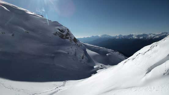
Into the upper draw

Looking back at my tracks
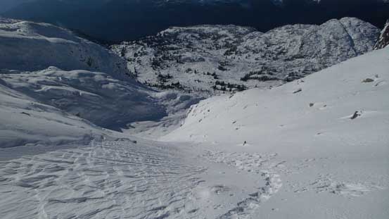
Steep gully descent into the lower bowl

Exiting the lower bowl
Callaghan Mountain
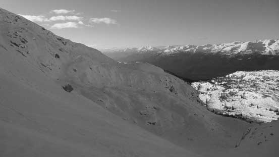
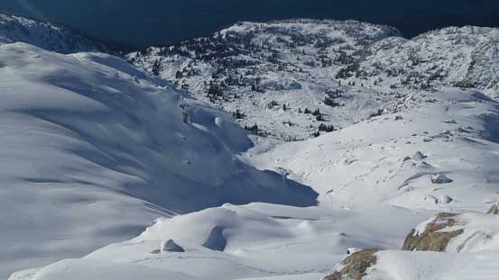
Looking back at the lower bowl
Those boulders made some interesting pictures (and interesting travel)…

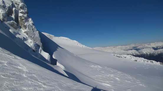
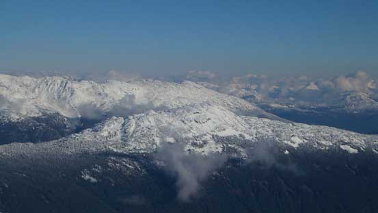
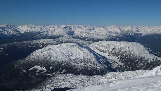
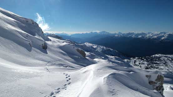
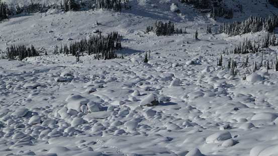
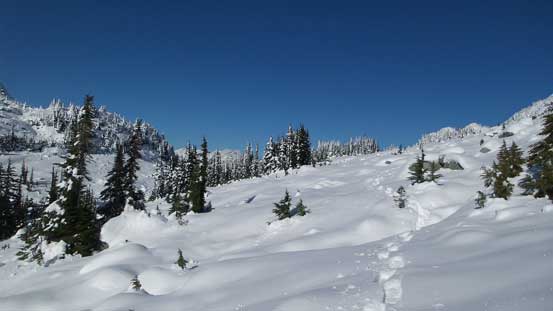
Treeline views
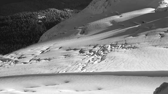
Negotiating that partially covered boulder fields required caution
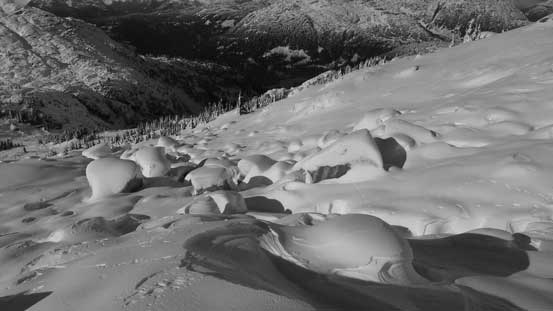
Snow mushrooms? or not…
More views from this area
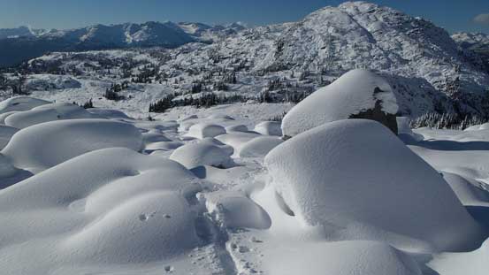
Looking back at the boulder field I just descended
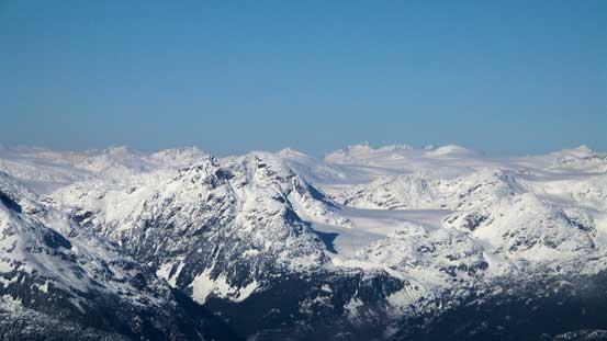
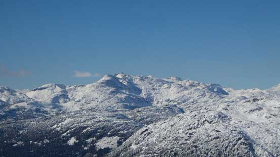
That unnamed peak is looking big again
Slogging back
Rainbow Lake in sight again
Back to camp
Back to camp it’s about 1 pm. It’s very temping to take a nap in the afternoon sun but given the good weather there’s no way to leave Gin Peak behind. It appeared like a quick 2-3 hours detour (but could have fair amount of post-holing) so after another long break I was off for the second objective of this trip.
