Cataract Peak
September 19-21, 2014
3340m
Eastern Banff Park – Pipestone River, AB
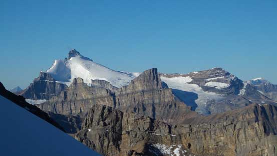
There was again, a good weather window arriving at this past weekend and Ben and I were gaming for a 3-day mountaineering trip. With a week of warm weather many of the alpine objectives would get back in shape except for the highest ones. I threw out quite a few options but once Ben brought Cataract Peak up I got convinced. Over the past year or two I’d been curious about its ascending routes ever since I saw it from summit of Mosquito Mountain in the winter of 2013. It’s a giant buried deeply in the front range of Banff National Park and towers above most of the nearby peaks except for the 11,000ers.
The question is – by what route, and how difficult to reach its summit… As the height of this mountain suggests, it’s roughly 15 m short from the magical 11,000-feet mark so rarely draws attention to mountaineers other than the hardcore peak-baggers. So despite the prominence there’s actually very little information on the Internet, and the only beta we found was Graeme Pole’s “west ridge variation” which also assisted Rick Collier’s ascent years after – both of their trip reports are on bivouac.com. Their reasonably detailed description helped to confirm it’s not a scramble and should be treated as a snow and ice mountaineering ascent. It also seemed like we wanted to have snow otherwise we’d deal with ice – which was good as at such a high elevation the north facing aspect would likely be still snowy. But not liking to take any chance Ben and I would haul most of snow and ice gears up including ice tools and a bunch of screws.
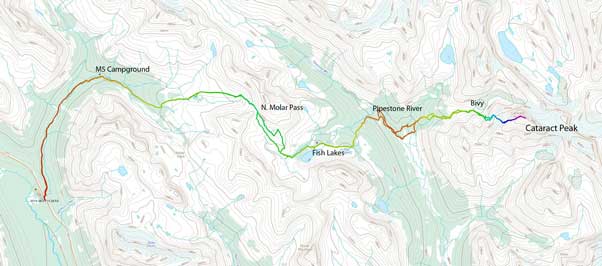
Cataract Peak approach and ascent route. GPX DL
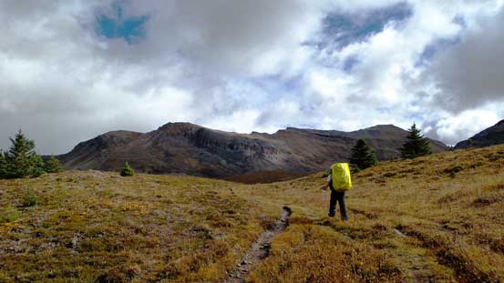
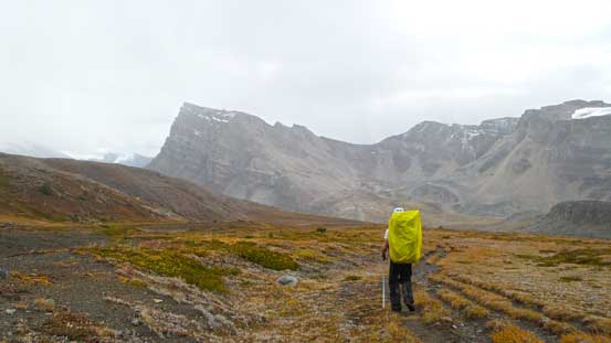
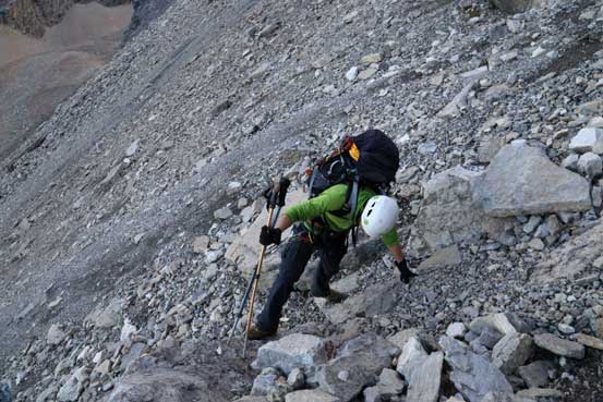
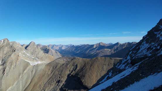
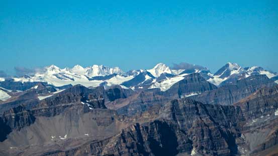
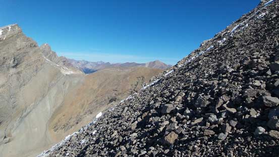
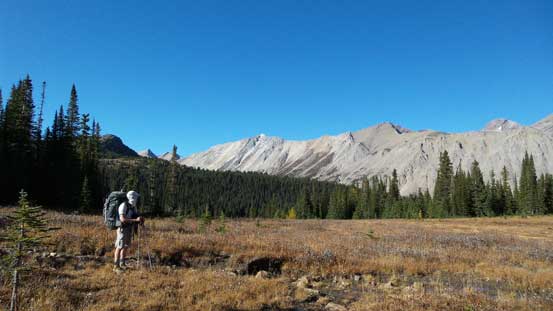
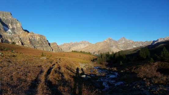
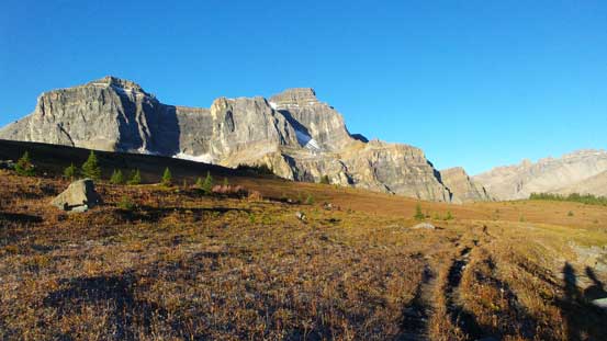
This peak is really in the middle of nowhere and no matter what approach you use it’ll take a full day. The most logistic way would be from Icefield Parkway via Mosquito Creek, North Molar Pass, Fish Lakes, Pipestone River and then an untravelled valley on the NW side of this mountain – roughly 24 km to the basecamp. So on Friday morning Ben and I started our long trek from Mosquito Creek parking lot, in rain… The first 5 km had become somewhat familiar to us as it’s my 4th time doing this approach. In less than an hour we made to M5 campground. The trail from here to the 2590-meter North Molar Pass was well defined but extremely muddy thank to the horse traffic. It took us quite a while slogging up to this high pass and by the time we got there we felt like having already ascended a mountain. It felt a bit depressed thinking in the next few hours we’d lose all of the elevation we just gained down to Pipestone River. But on the positive side weather did held up temporarily and we were treated with some nice views from this high point.
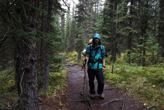
Me on the initial slog up Mosquito Creek Trail. Photo by Ben
Started to get some view once breaking through the treeline
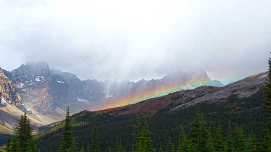
A rainbow!
This is the typical terrain on the way towards North Molar Pass

The pass is way up high on the far right

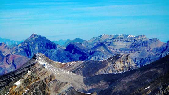
Mosquito Mountain doesn’t look fun in summer…
The East side of Noseeum Mountain looks pretty impressive.
Ben arriving at North Molar Pass
Looking back from the pass

Looking ahead, we’d soon drop into this valley.
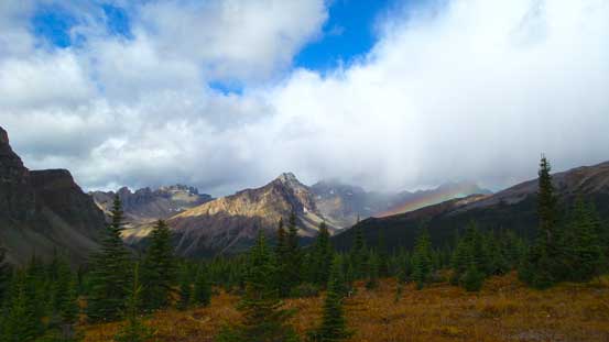
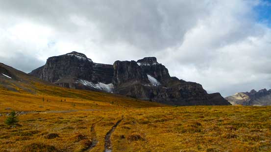
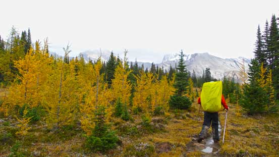
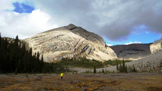
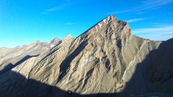
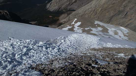
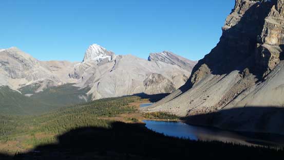
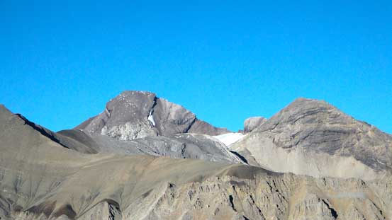
Down towards Fish Lakes, weather started to deteriorate again. We got hit by storms after storms – the precipitation amount was definitely more than just 1 mm and the forecast was way off. But again, thinking positively the rain kept us cool and it might be actually more energy-saving than slogging under a 30-degree sun. Saturday and Sunday was supposed to be crystal clear so we’d get the views on our way back anyway. During this period we also got our first view of Cataract Peak. As predicted, at a much higher elevation Cataract’s NW Face did appear to hold snow even though other peaks nearby appeared to be bone dry. That’s a good news!
Not the greatest weather…
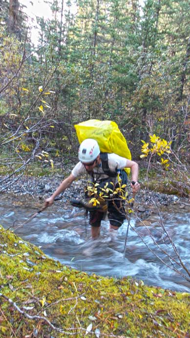
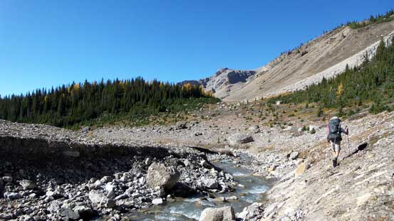
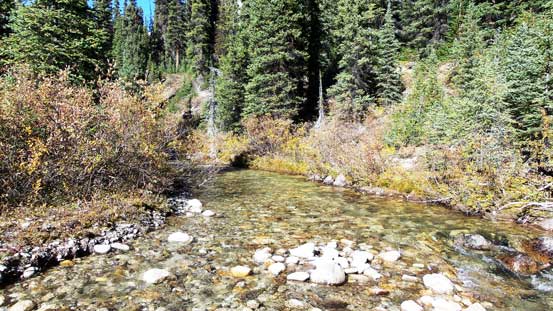
After taking a short break at Fish Lakes (MO18) campground we continued our descent towards Pipestone River. As mentioned earlier, this was a depressing, boring and also tedious process. The trail just kept descending and by the time we hit the lowest point we were only less than 100 m higher than our starting point.. Oh well. We also had to cross Pipestone River. It’s not a raging torrent at this time of the year but doing so without wetting our feet was challenging. Ben managed to do so but I ended up fording it. Once on the other side, we followed the Pipestone River Trail downstream for another 600 m or so before entering the bush.

Arriving at the upper Fish Lake.
The larches was on their prime time this pas weekend.. Should we be in Skoki or Larch Valley?!
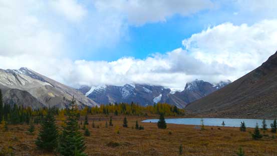
We got a break in the rain. Behind the lower Fish Lake we could see glaciers on Drummond Icefield.
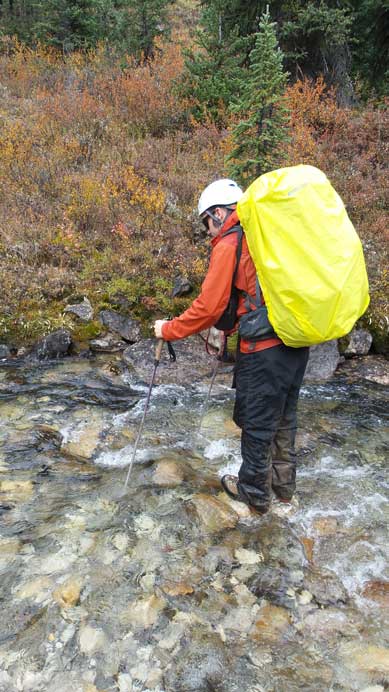
Ben trying to cross Pipestone River without taking his boots off. After watching him struggling I decided to just ford it.
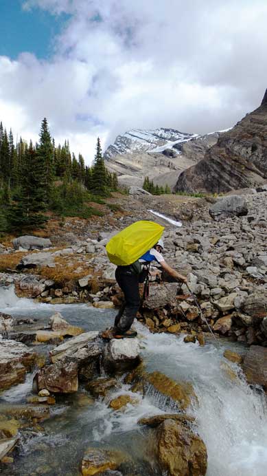
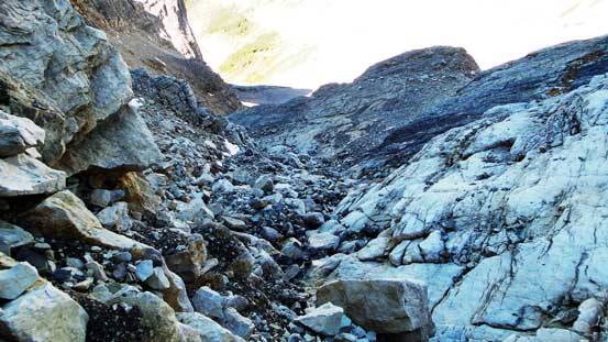
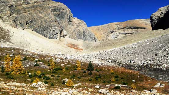
Now came the last section of this lengthy approach. So far we’d been staying on a well defined trail and we knew the last part bashing up this untravelled valley would be the most experimental. However, it was again, better than expected. There were brushes on the river flats as well as a creek coming down from “Three Brothers Lake” that we had to ford across adding to the “pain” factor, but other that that the forest was fairly open and bushwhacking was nearly non-existent. Before we realized we were already following the stream coming down from Cataract Peak, and in another hour or so we’d arrive at a 5-star bivy site at the last trees. Actually there were many prime bivy sites lower down in this valley but we decided to carry on to as far as possible. We also wanted to fully see our route through “the easternmost of the three cirques on the north aspect of west ridge” because Graeme Pole didn’t mention any details in this part other than “ascending into this cirque and climbing out of it on the eastern slope”. It was still raining but we could tell the clouds were slowly lifting. We were hoping for the best for the following day.
This is the creek coming down from “Three Brothers Lake”. We had no choice but to ford it.

The bushwhacking up this forecasted slope was near non-existent!
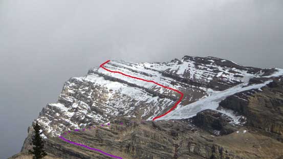
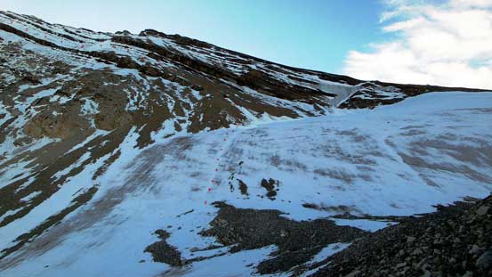
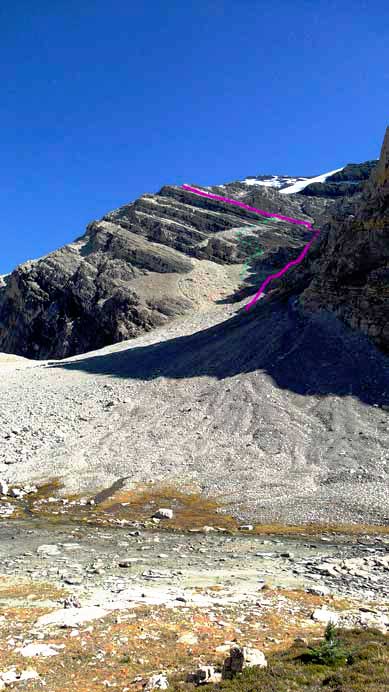
Gettting close to our objective. Purple line shows the key “light-brown” bench getting out of the cirque, and red line shows the correct snow/ice ramp on the upper mountain.
We’d eventually bash up this valley to the last trees.

Me crossing the stream. Photo by Ben

A neat waterfall with our objective in the background
There’re many prime bivy sites in this valley if you don’t want to haul gears all the way to its end.

This would be our home – right at the base of our ascent route.
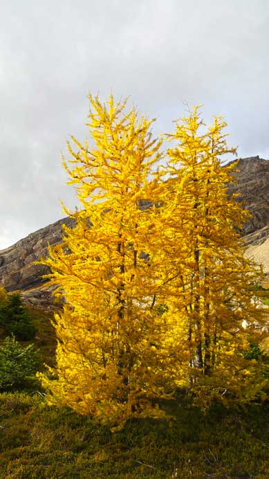
Larches
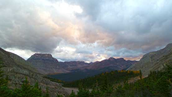
Some evening colours. It was still cloudy and occasionally rainy.
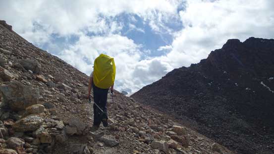
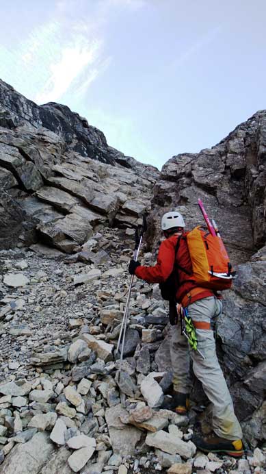
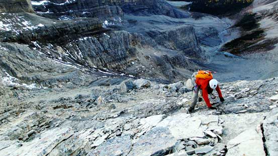
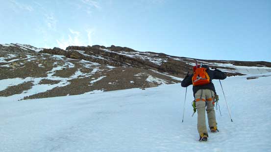
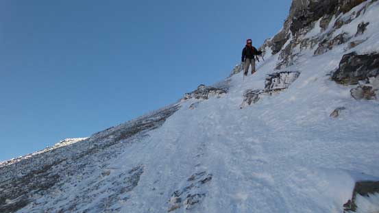
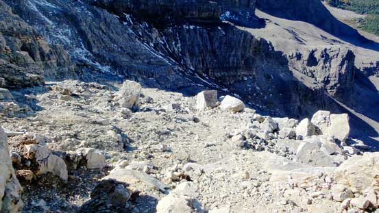
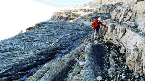
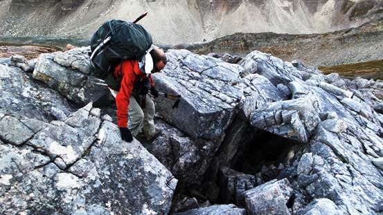
It rained on us again overnight but by 7 am we did wake up under crystal clear sky. So off we went after breakfast. We initially ascended the big scree cone but upon exiting the cone instead of continuing up the direct loose gully we started to scramble up through a series of ledges and gullies on middle or climber’s left side. In retrospect going directly up the main gully on climber’s right would be the easiest option as we discovered on the descent (class 3 only). The series of ledges worked fine but soon enough we had to deal with slabs. These slabs were tricky and we felt very insecure wearing full rigid mountaineering boots. It would be fun if we were wearing hiking shoes though. After negotiating a few slabs we were pretty much committed to this route choice. We managed to pick weaker spots here and there to ascend or traverse one slab after another, and eventually arrived at a much-wider bench of light brown colour. This was the key traversing bench that we observed earlier. Following this bench diagonally up was straightforward except for a short class 3/class 4 step near the end. This step marked the exit point of this cirque, and ahead would be the transition to snow climbing on the upper mountain.
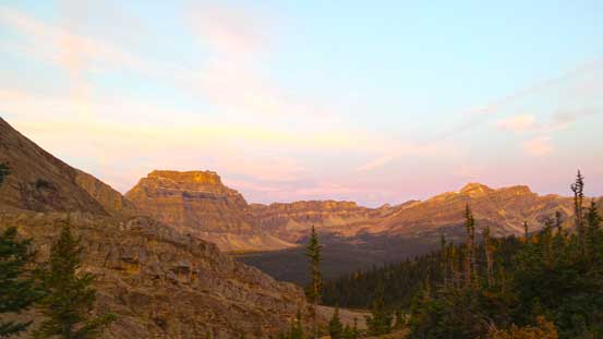
Morning colours
After scree bashing up a pile of loose crap we started scrambling
Me nearing the end of the scree bashing. Photo by Ben
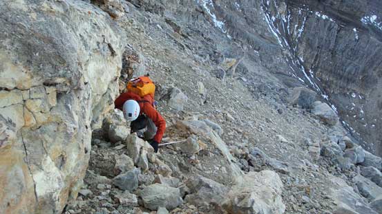
Ben ascending a series of ledges
However, we soon entered a maze of slabs

Me picking a way through these slabs. Photo by Ben
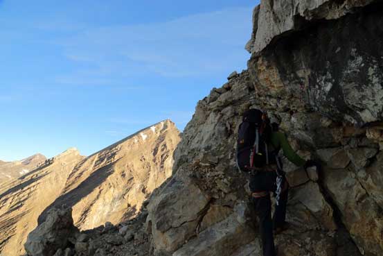
Near the end of the light-brown bench, this is me scrambling up a short difficult scrambling step. Photo by Ben
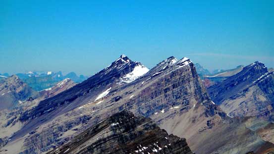
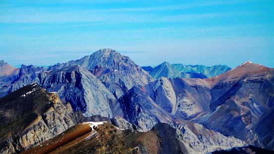
Great view looking back. Rick Collier named this peak “Little Cataract Peak”

Soon after that we exited the cirque. Photo by Ben
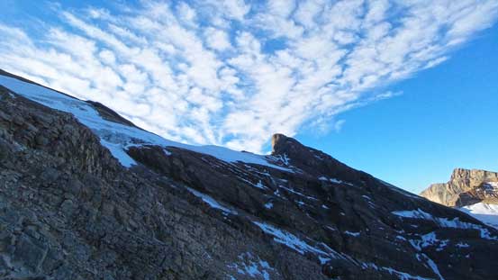
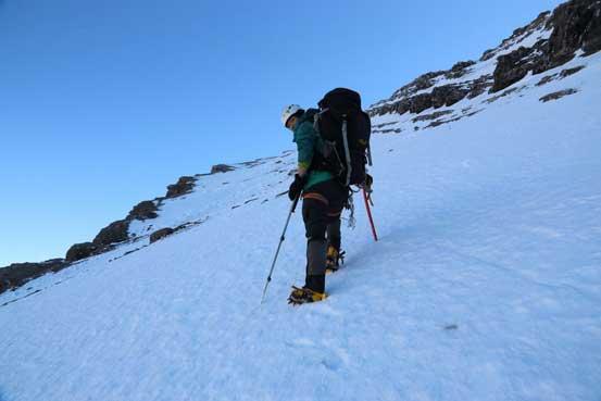
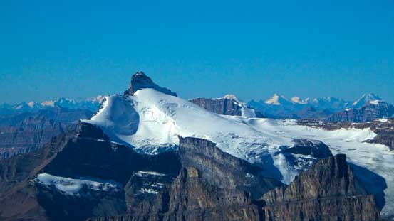
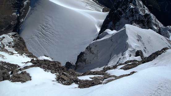
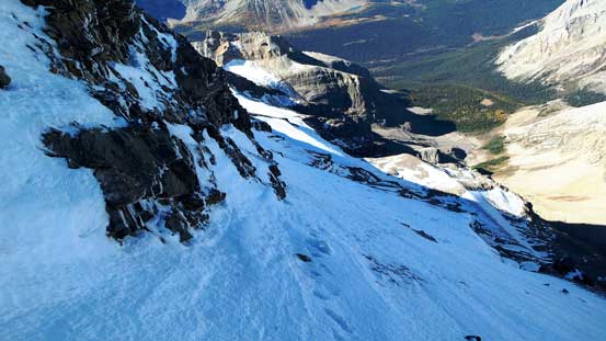
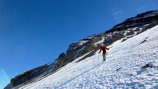
There’s a tiny pocket glacier that we had to ascend. It appeared to be quite steep but actually not. There’s still a layer of snow from the dump one week ago, and by sticking relatively climber’s left we picked a line kicking-step up the snow so didn’t even need to strap crampons on. We didn’t observe any crevasse neither and in short time we were off the glacier. To gain the long-rising snow ramp we had to slog up treadmill scree. It started with “loose like hell” but soon became concrete-hard dirt. I personally think concrete-hard scree is one of the worst types of scrambling terrain (especially with exposure), but looking ahead we’d be off the crap and onto snow soon. And again, we got the perfect condition on the continuous snow climb on this “icy bench” – obvious it wasn’t icy for us and the snow was perfect to kick in. We only used 1 mountaineering axe and crampons and nothing more than that. This bench was also gentler than appeared (35 degrees), but the exposure is pretty severe thank to the big cliff from our bench to the lower bench.
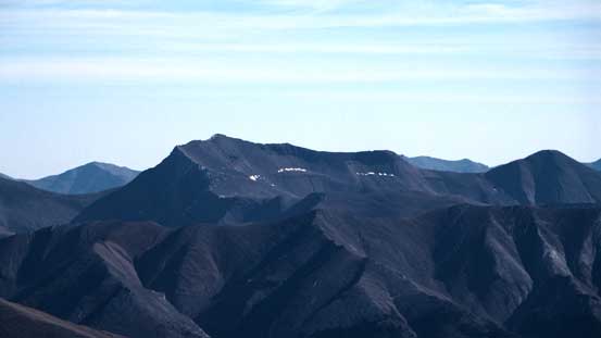
There’re 10 pinnacles like this preventing the direct ascent via the west ridge.
Ahead is the pocket glacier. The new snow surely helped us and we didn’t even need to strap crampons on here.
Ben kicking-step up the glacier.
The unusual view of Mt. Hector, with Molar Mountain in front
A view of the front range from the ramp

Ben ascending the ramp.
Me on the ramp. Photo by Ben.
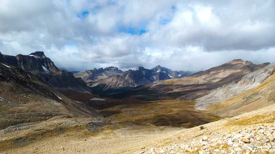
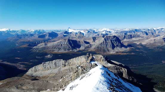
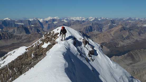
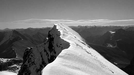
We followed this snow ramp/bench all the way to its end, and trending climber’s right we’d soon stand on the false summit. The traverse to the true summit was on a narrow and corniced snow ridge. We had to be careful on our footings but nothing too technical given what we had done earlier in this year, and in short time we stood on the top. Ben brought multiple altimeter devices and our readings were 3337, 3340 and 3346 m. The official height is 3333 m so I’d say it’s about 3340 m. It’s not an 11,000er, but close.
A view from the false summit.

Me traversing the corniced ridge. Photo by Ben
Ben negotiating a narrow section
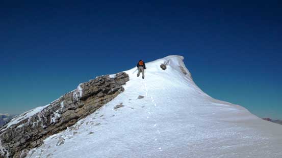
The true summit ahead.
Ben down-climbing a steeper roll

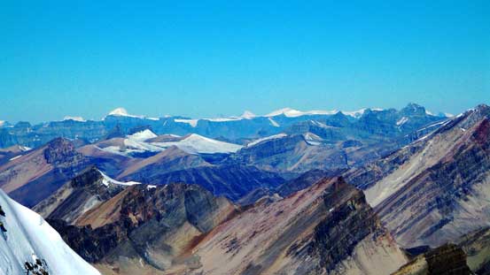
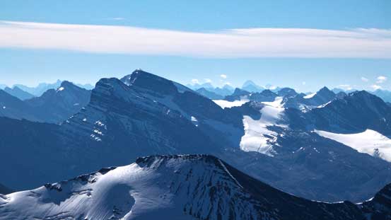
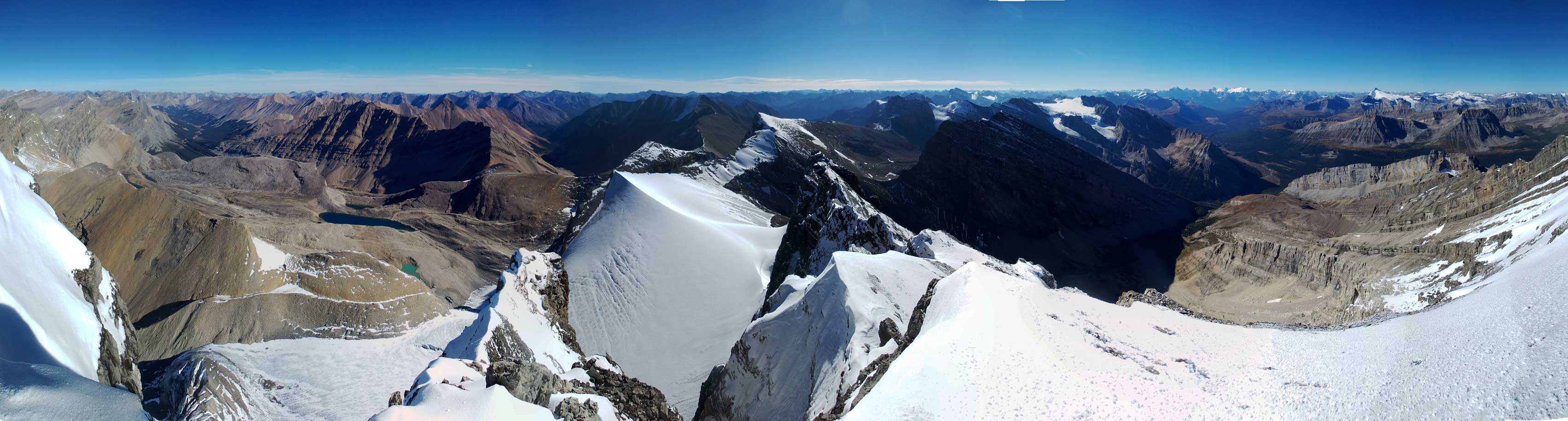
Summit Panorama. Click to view large size.
I had great memories from Mt. Hector’s ascent last year.

Mt. Balfour with Mt. Sir Donald poking behind on its left shoulder. I’ve climbed both of them.
The Freshfield is one area I’d like to visit.
The mighty Mt. Forbes and the 5 peaks on Mt. Lyell.
Mt. Willingdon, Crown Peak and South Tower
Mt. Harris must be really close to 11,000 feet. It’s on my to-do list as well.
Way in the distance we could see Mt. Columbia and The Twins
Towards our south are the giants in Skoki – Mt. Douglas and Mt. St. Bride.
Mt. Assiniboine is huge!

Quadra Mountain and Mt. Fay with Mt. Richardson in front

Don’t need to introduce this giant I assume…
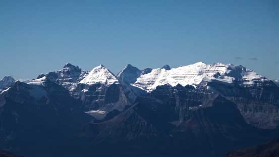
Lefroy and Victoria are icons of Lake Louise

Chancellor and Vaux are giant loose bastards in Ottertail Range.

This is Drummond Icefield. Not many people have seen it from this angle!
Icefall Mountain and Mt. Huestis – very remote peaks
Mt. Malloch
Wapiti Mountain which we ascended last year
The east side is a huge drop-off

These tarns are the headwater of the remote Roaring Creek Valley

I bet very few people have visited Roaring Creek Valley
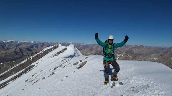
Me on the summit of Cataract Peak
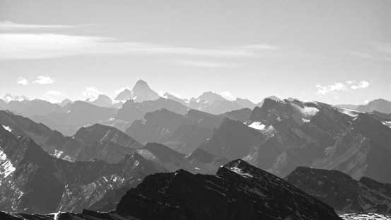
Another panorama from the summit. Click to view large size.
After a short celebration we started the descent since it was quite windy and cold on the summit. Coming down the snow ramp was straightforward and scree skiing followed by plunging-step down the tiny pocket glacier was even faster. Soon we were back at the cirque. We initially retracing our up-route descending the same light-brown coloured bench as we ascended earlier, but this time we’d go all the way to its end. This brought us to a narrow and loose gully. We followed this narrow gully down and there’s still a short slabby part to overcome in order to eventually join the major gully, but this was definitely an easier option compared to our up-route. The disadvantage was the two gullies being classic shooting galleries and they actually reminded me the gully on Harrison and well as Quartzite Col on Willingdon’s approach – basically you want to be in a small party and stick very close to each other. This major gully eventually brought us back to the scree cone, and after that it was trouble-free back to our base camp.
Starting the descent of this long snow ramp
The snow ramp – as you can see we got the perfect condition.
Avalanche debris!
The scree wasn’t horrible on the way down.
Descending the pocket glacier

Down-climbing the difficult step to drop into the cirque
This is the long light-brown bench. We’d traverse all the way to its end

And after that, we had to descend loose gullies
A classic shooting gallery.
To access the main gully we still had to deal with slabs, briefly.
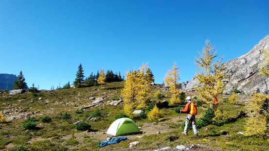
Back to our 5-star camp
Purple line shows our descent route while green dots is where we ascended.
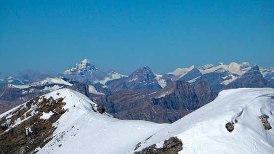
Now we pretty much had the entire trip ahead of schedule. If we really wanted to push we could finish the return on Saturday but why doing that.. We couldn’t ask for better weather and the fall colours were on full-force, so we decided to take our time enjoying this beautiful area. The descent down to Pipestone River followed by slogging up to Fish Lakes wasn’t fun though, but once getting back to the treeline/alpine we were treated with breathe-taking views especially looking back towards Cataract Peak. I even went to the lakeshore of the lower Fish Lake for some photos.
Leaving this lovely area.
Descending along the creek. We stayed on the right side of this creek on the descent.

From Pipestone River, looking back, our ascent route through the forest goes up climber’s left of the waterfall.
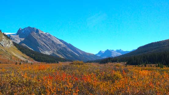
Fall colours in Pipestone River Valley
Bashing through these brushes wasn’t fun though.

We found a log to cross Pipestone River without the need of fording. The price we paid was more bushwhacking.
Pipestone River.
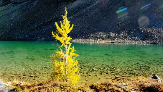
A lone larch on the lakeshore of lower Fish Lake

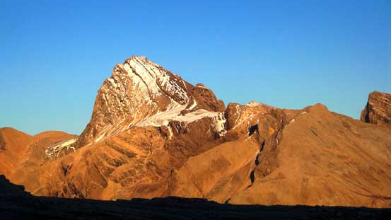
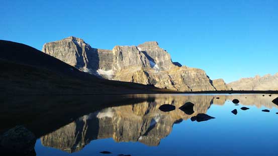
Afternoon view of Cataract Peak.
Cataract Peak and its reflection in lower Fish Lake

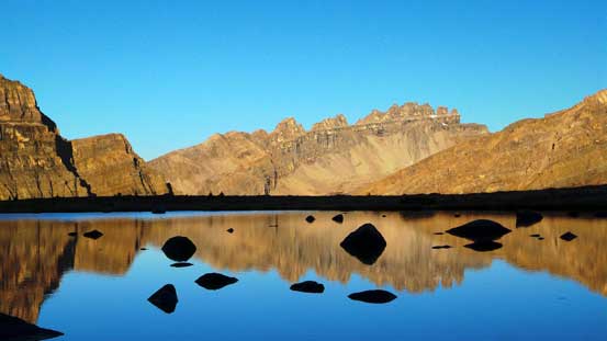
Peaks on Drummond Icefield
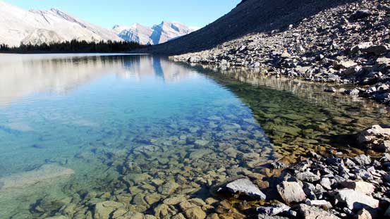
Crystal clear water in the lower Fish Lake
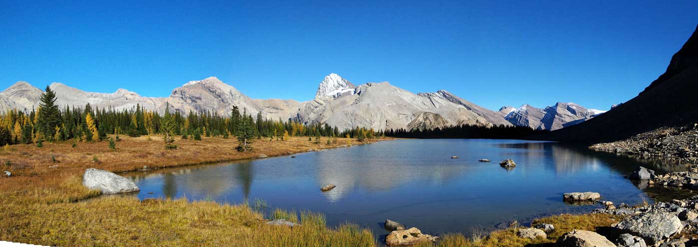
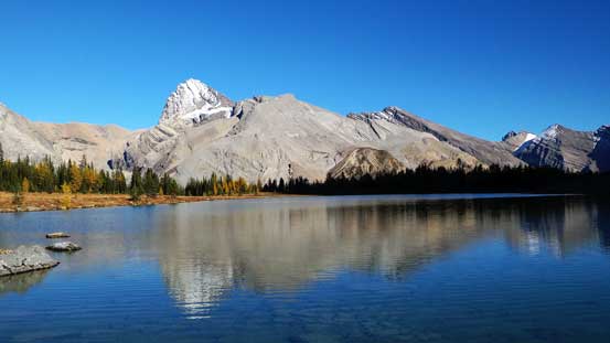
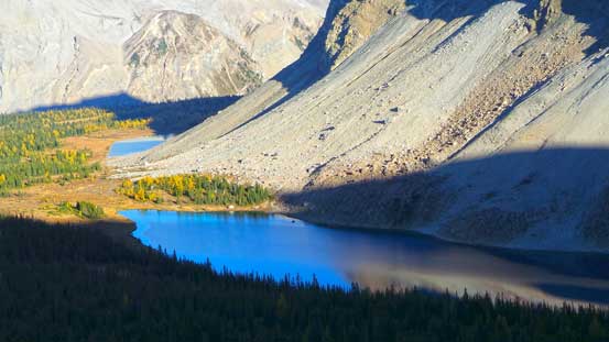
Panorama of Lower Fish Lake

Another panorama. Click to view large size.
At this point we already made the decision to shoot some evening glow photos on Cataract Peak. This meant we had about 2 hours to kill. We followed the trail reascending to the alpine, and instead of going towards North Molar Pass we went up the ridge feature on climber’s right. This gave us some excellent view looking down towards the two Fish Lakes, as well as a full panorama of the peaks across Pipestone River Valley. We ascended to a high point and waited until evening glow time. Needless to say the scenery was awesome and it totally worth the extra effort. After that we picked a side-hill traversing line towards North Molar Pass resisting losing elevation. By doing so we had to negotiate a giant boulder field. Up and over the pass, we kept descending until we found a lovely flat spot to bivy, with a rushing stream nearby for water.
At the flats by the two Fish Lakes
Looking down at the Fish Lakes from an excellent viewpoint. This viewpoint isn’t on trail so you have to wonder around to find it.
Gorgeous colours on Upper Fish Lake
Across Pipestone Valley we could see “Three Brothers Mountain”
Due to our off-route wondering we had to traverse a boulder field
Evening view of our objective – it’s a huge mountain…
Peaks on Drummond Icefield on fire

Cataract Peak
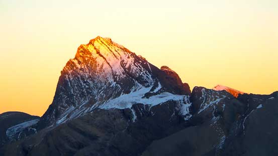
The last light shone on Cataract Peak

Dusk
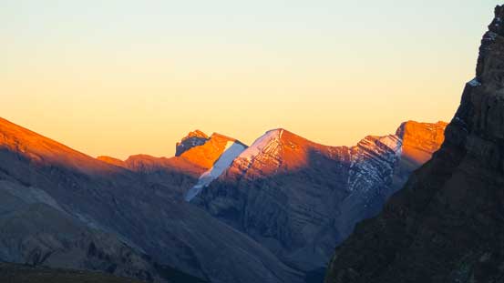
On Sunday morning we woke up at 6:30 am fully ready to shoot alpenglow photos. It wasn’t as epic as the evening glow we got in the previous day, but still awesome especially looking towards Dolomite Peak. Our task for Sunday was simply hiking out and then driving home, so we were not on a rush. It took us a few hours to descend this muddy, but scenic trail back to the parking lot.

Started to see morning colours on the horizon

Right before alpenglow
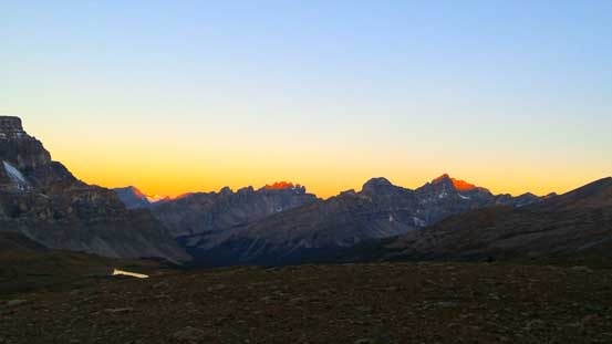
Now, it’s alpenglow time!

Glow on Dolomite Peak

Glow on an unnamed peak. I don’t think it’s Watermelon Peak, but it’s in that area.

Alpenglow on Mt. Habel on the Wapta Icefield

And, alpenglow on Noseeum Mountain

And finally, on Mosquito Mountain

Noseeum Mountain is always the eye-catching one. Now I want to ascend it.
There’s a tarn offering excellent morning views.
Dolomite Peak and its reflection

Me crossing a stream. Photo by Ben
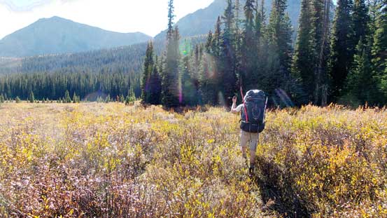
The lovely meadows
Hiking out
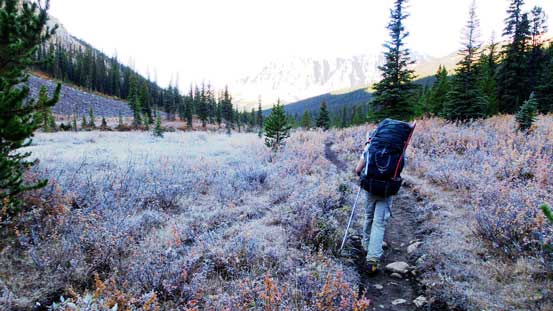
On the final slog. There was a temperature inversion and you can see the frost.
Overall the approach, along with the ascent turned out to be easier than expected, but that might due to the fact we got perfect conditions. Speaking this objective, I think it should deserve more attention. The approach trail via North Molar Pass and Fish Lakes is in good shape, and travelling up the valley NW of Cataract Peak isn’t very bushy. The rock scrambling section up the lower mountain isn’t technical and with good route-finding it’s class 3 only. If you have the perfect condition on the upper mountain then it’s as simple as kicking-step up a 35-degree slope. If it’s totally melted out revealing ice and concrete-hard dirt than that would be a different game though. I think we picked an excellent objective in this past weekend and I felt very satisfied to have Cataract Peak successfully ascended.

Good stuff! How the heck do you get so much time to be in the mountains while doing a degree?