Mount Alfred, “Lausmann Peak” and “Split Peak”
August 24-25, 2026
2420m
Powell River, BC
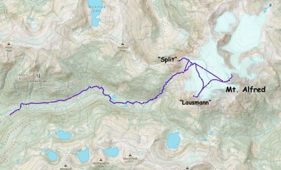
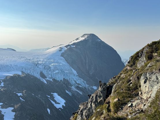
Mt. Alfred on the North Powell Divide is one of the “principle summits” in the Qathet vicinity and boasts over 1300 m prominence. This is also a glaciated massif visible from various high peaks in the South Coast Ranges and honestly I had never thought it could be that “easily” tagged when I first saw it from the Clendinning Traverse trip back in 2020. “Lausmann Peak” and “Split Peak” are the satellite peaks. They might not seem like much but they both have over 100 m prominence to qualify as independent summits. The access does not require arranging a private boat transfer and the approach has hardly any notable bushwhacking by this area’s standards. A strong party can do Mt. Alfred as a C2C push but I preferred an overnight in the alpine to facilitate grabbing all three peaks in one batch.
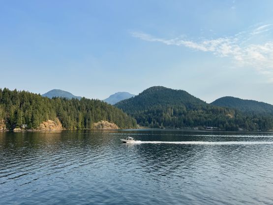
Towards the end of August I sensed a perfect window to pay my 3rd visit to Powell River as only the areas farther to the NW were free of smokes and clouds. Rob Woodall was already in the area and he agreed to join me for this outing, even though a bivy in the alpine to assure two bonus P100m objectives wouldn’t be his preference. Vlad also decided to come with me from the mainland so the cost wouldn’t be that ridiculous for myself. I had hardly any rest between the Rockies road trip with Erica and this Powell River trip and I also needed to work a few hours in the morning of the departing day. Needless to say it was a huge rush but I did get things packed up in time. Vlad and I even earned ourselves a bonus peak on the lower Sunshine Coast since we managed to catch the earlier ferry from Horseshoe Bay to Langdale, even though we only reserved the later one. Rob had already found a car-camping spot at the start of the long ass FSR access and Vlad and I showed up there after midnight as the second ferry was delayed by almost an hour.
I had never talked to Rob about the starting time since I desperately needed to catch up the sleeping hours. I simply decided to wake up naturally and that was around 7:30 am. Vlad and Rob were both awake at the time so I hastily dragged myself out of the Subaru. We all piled into my vehicle to reduce the gas and emission but on the next trip I probably would prefer to take Rob or whoever’s rental vehicle to reduce the wearing and tearing of my own car. The road was very “doable” but was consistently bumpy and rough. Perhaps by this area’s standards it’s rather tame, but I’m not an off-roader and I much rather prefer all of the roads to be as smooth as the ones in Washington state. It took me a couple hours to get us to the starting point. I also decided spontaneously to drive us to the Center Lake’s trail-head which could shave a kilometer of walking with 100 m elevation gain. This decision probably added a few hundred dollars’ maintenance cost to the Subaru in the long term but at least I didn’t damage the undercarriage. I probably wouldn’t recommend doing this unless the vehicle is a Jeep or a 4 Runner equivalent. I still wouldn’t regret because my summer itinerary is completely packed with peak-bagging missions and I wanted to minimize the physical effort of each trip wherever applicable. If I had enough rest before this trip I definitely wouldn’t do that.
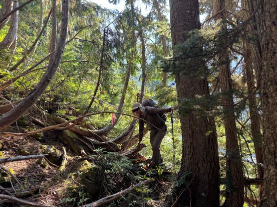
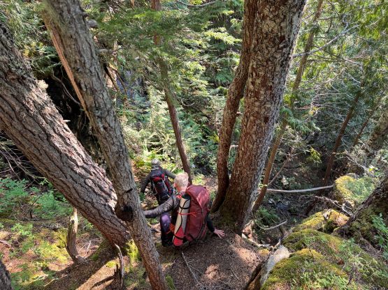
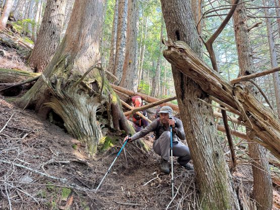
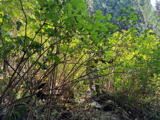
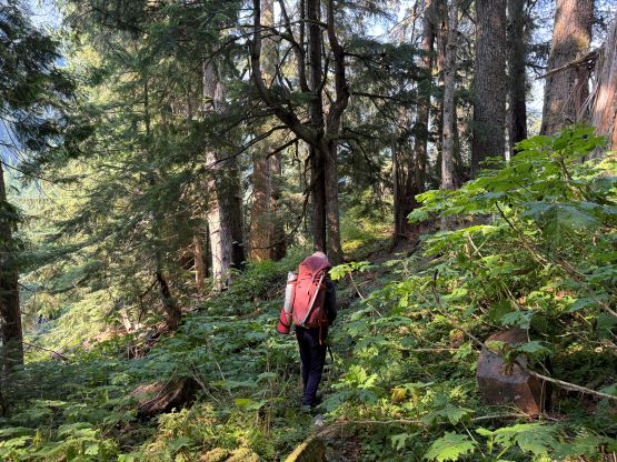
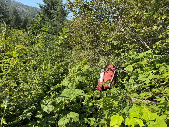
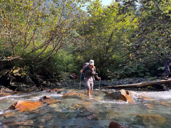
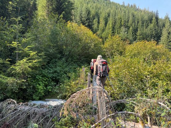
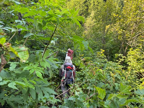
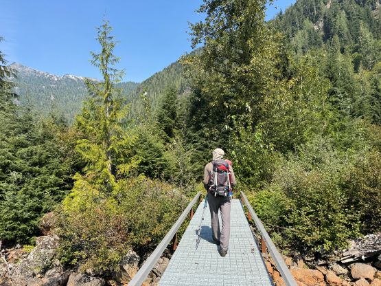
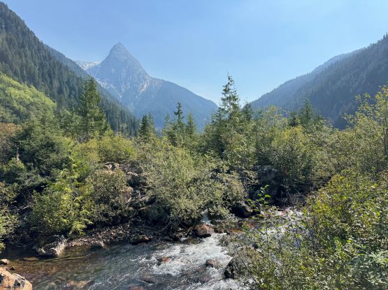
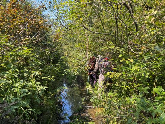
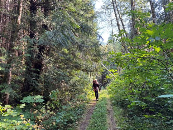
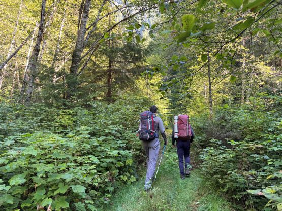
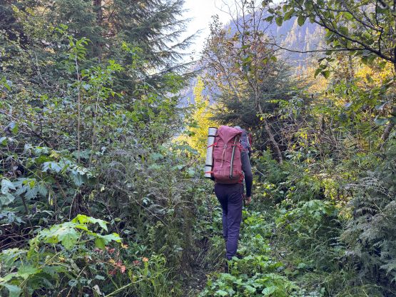
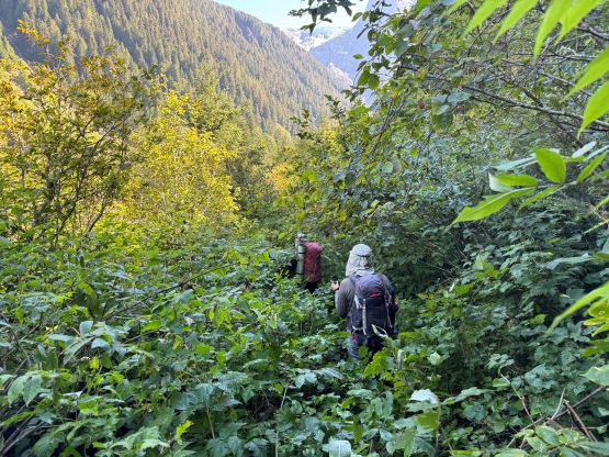
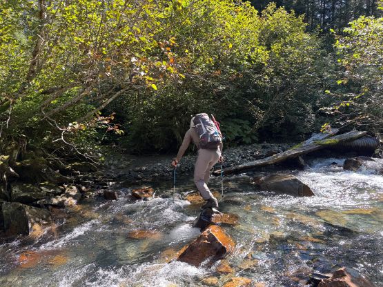
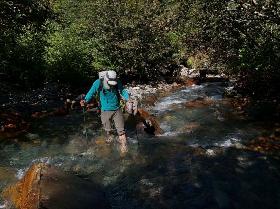
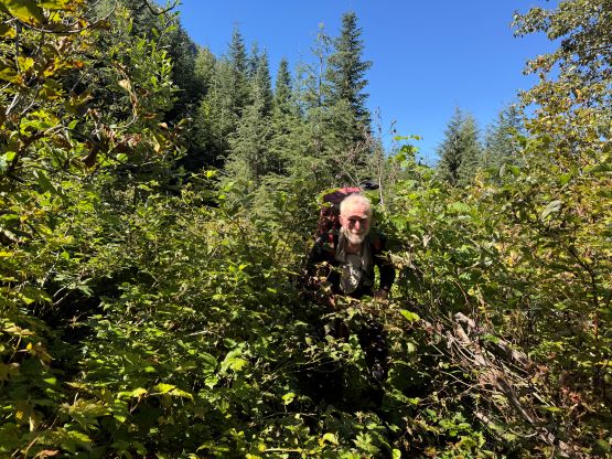
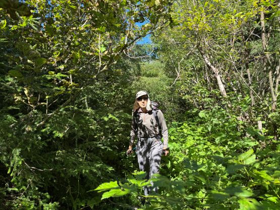
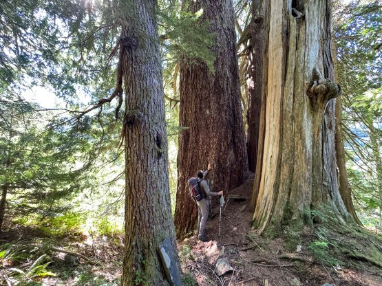
In fact, a Jeep Wrangler could get at least a couple kilometers farther as there wasn’t any particular obstacle to stop the upwards progress besides the consistent pin-stripping, but for a BC’s off-roader that could never be a problem. We shouldered the heavy packs and plodded up this valley. There’s a metal bridge to facilitate the first creek crossing but the second one required a barefoot ford. I was anticipating that. Rob and Vlad opted to hop across on rocks but Rob got his boots soaked. Between the two creek crossings we were still technically following this “road” but it’s pretty much a bushwhack even for foot travel. This, along with the stretch immediately after the ford was honestly the bushiest part of the entire approach. Once we picked up the trail in the mature forest the going was infinitely easier, albeit much steeper. The route kept traversing climber’s right and it’s very important to pay attention to the markers and/or the GPS map to not lose the trail. The route weaves back and forth to ascend some weaknesses among the insanely steep bluffs so it’s not straight-the-fuck-up kind of forested bash. At some point we got glimpses of “Lausmann Peak” and the trail eventually faded. A piece of flagging marked where we should traverse right into the openings to exit the forest.
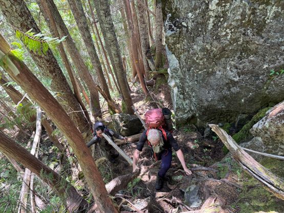
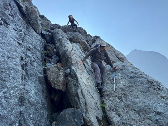
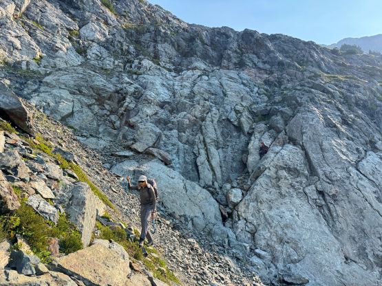
The next 500 m elevation gain to the bivy at the edge of the glacier was harder than I thought. For some reasons I thought the trail would extend the entire way up but that’s not the case. The trail disappeared completely in the talus field and we would have to deal with some 3rd class scrambling on ledges and ramps with considerable amount of route-finding. For an experienced party this wouldn’t cause any issue and multiple lines would “go”, but with a heavy pack the work load was very noticeable. Judging by our GPS tracks we had taken different routes on the ascent and the descent and I honestly couldn’t tell which was the better one, so this section offers that pick-your-own-adventure kind of experience. I did make sure to keep the scrambling no worse than “class 3” for the team so following either of our tracks could work. The exact/best location of the bivy was unclear nor did I bother to consult with my friends who’d done this peak (they did not bivy for that matter). I simply decided to find the campsite in situ and in the end I settled on one right next to the glacier. We had opted to skip the tents so it’s not that difficult to find a platform to lay three sleeping bags open. The spot I found was even slightly sheltered from the katabatic winds.
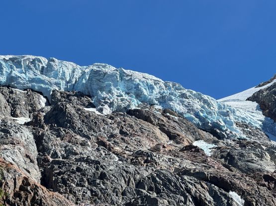
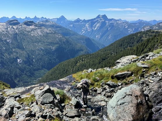
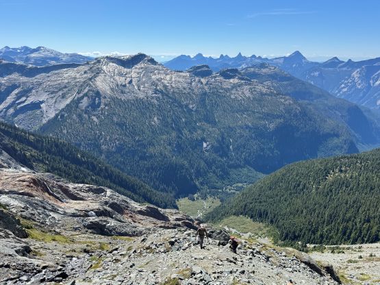
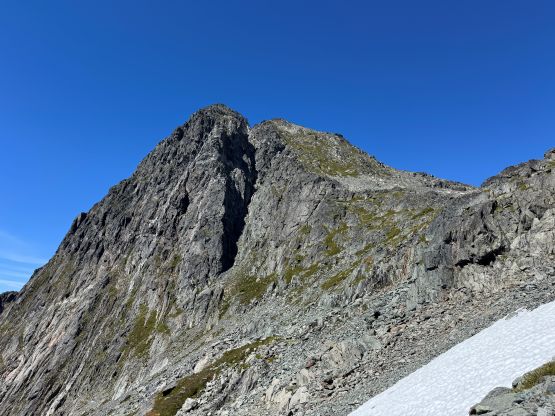
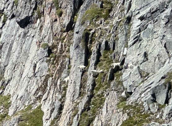
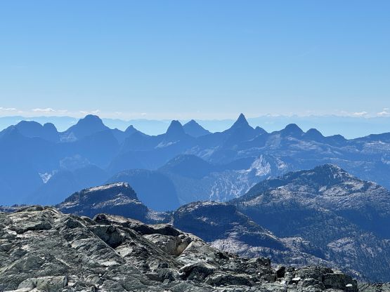
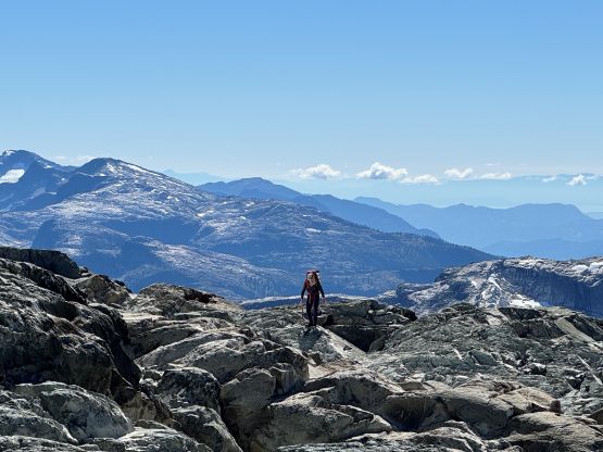
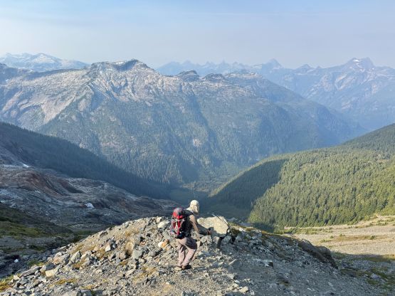
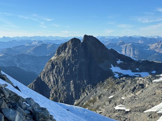
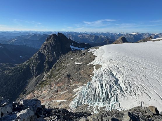
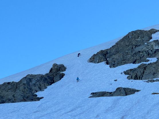
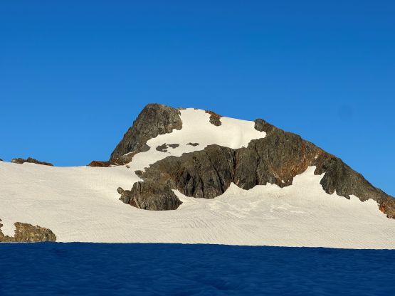
The plan was to tag at least Mt. Alfred and “Lausmann Peak” in the afternoon of Day 1 and our timing aligned with that. After a long break we climbed a short pitch of 20-degree ice to get onto the glacier proper. I had concerns about this short step because I didn’t want to carry the mountaineering boots just for a 10-meter section, and my gamble of only bringing the trail runners won in the end. The step was literally “nothing” and if not because of Nicolo’s picture I probably not even gonna mention it in this trip report. In any case the trail runners with aluminum crampons were more than sufficient. Rob and Vlad each wore their boots so they also had no problem. We also decided to rope up for the glacier crossing even though the travel seemed rather tame. Vlad led the way and I stayed behind in case a rescue was needed. After 2 foreshortened kilometers we were on the SW Ridge of Mt. Alfred and ditched most of the gear. The scrambling was no worse than “class 3” and we probably didn’t bother to find the easiest way neither. Higher up we did have to cross/ascend a snow arete so the decision to leave crampons and ice axes behind was a little bit questionable. The snow was nevertheless soft so we were “fine”. Rob measured the second bump to be the highest but I traversed all the way to the end of the ridge to fully soak in the views. This is one of the better viewpoints in SW BC, after all.
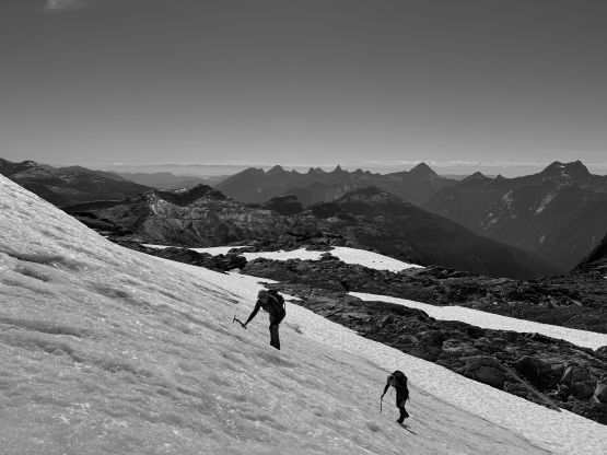
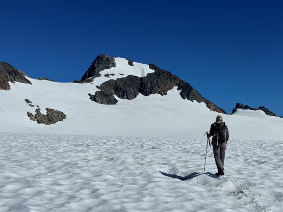
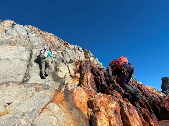
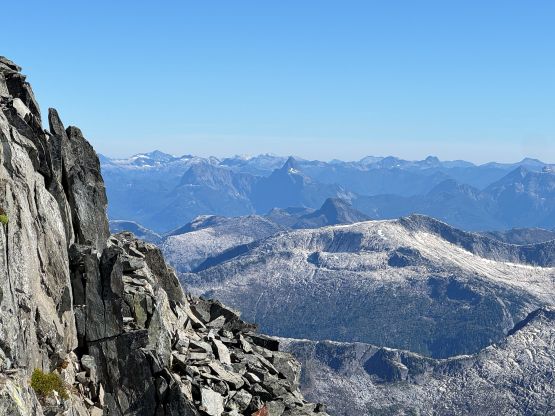
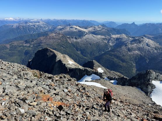
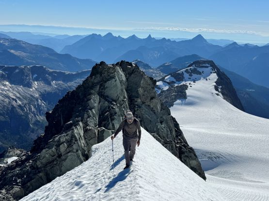
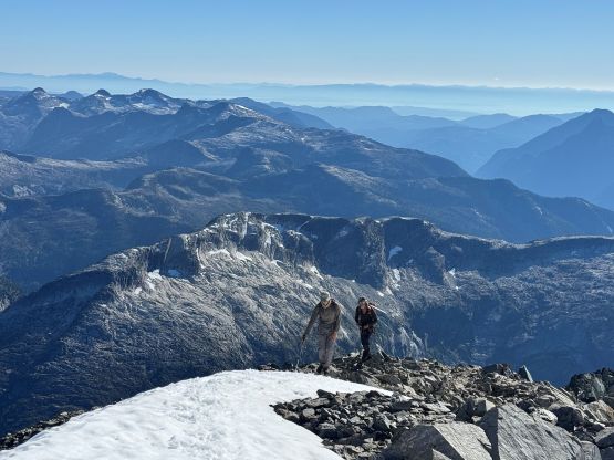
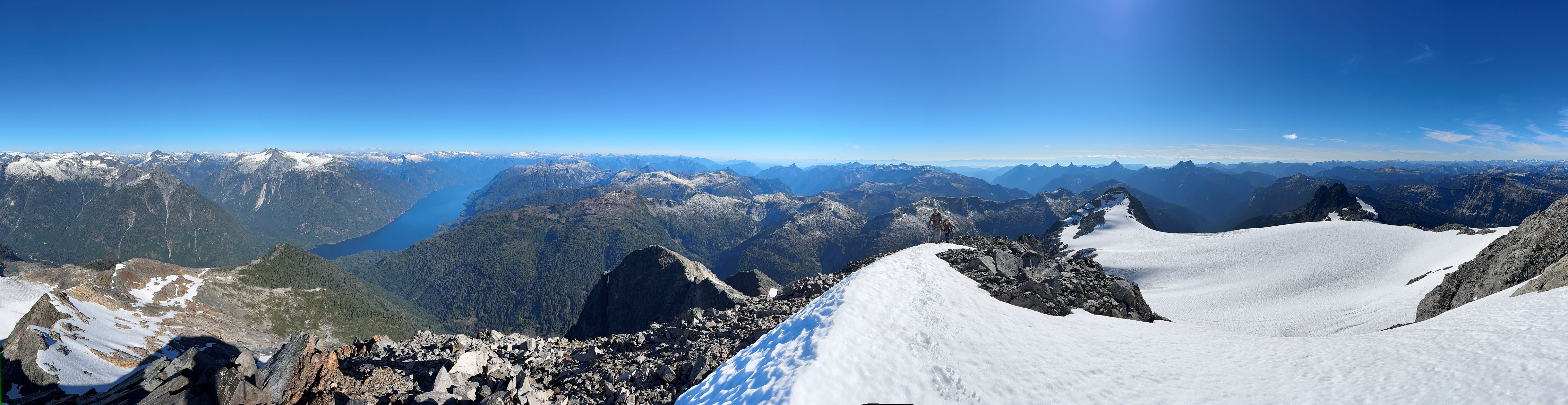
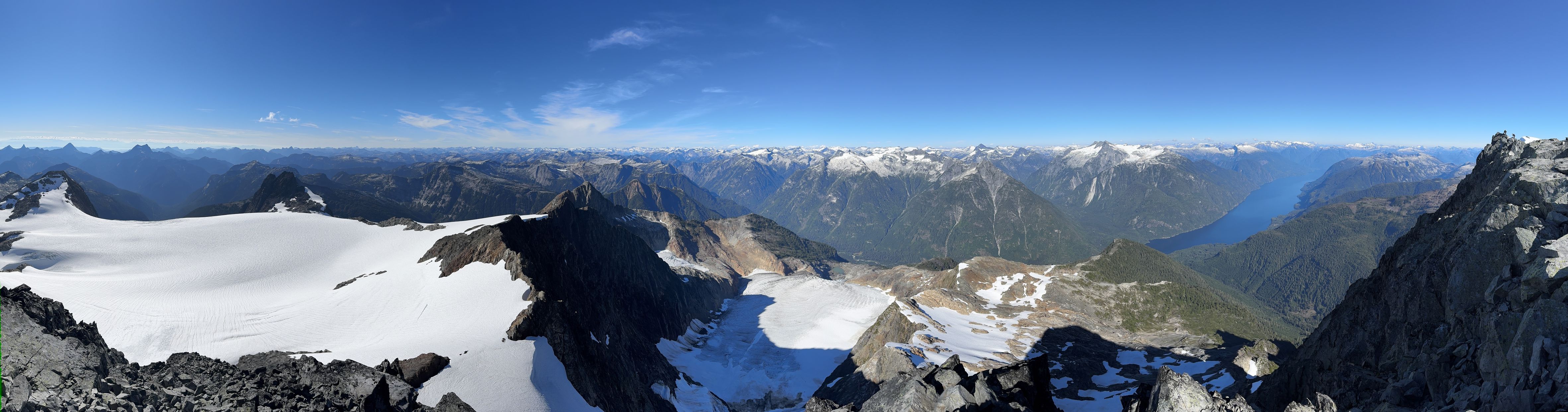
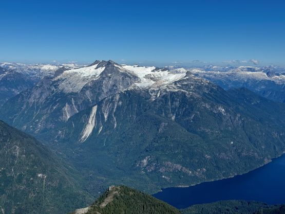
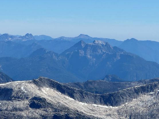
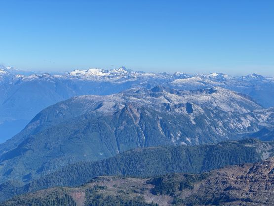
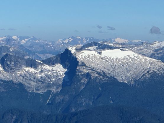
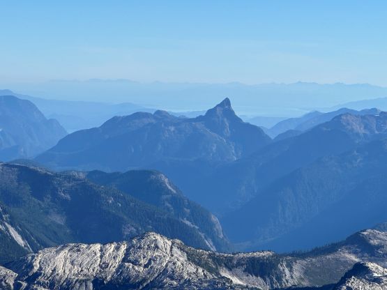
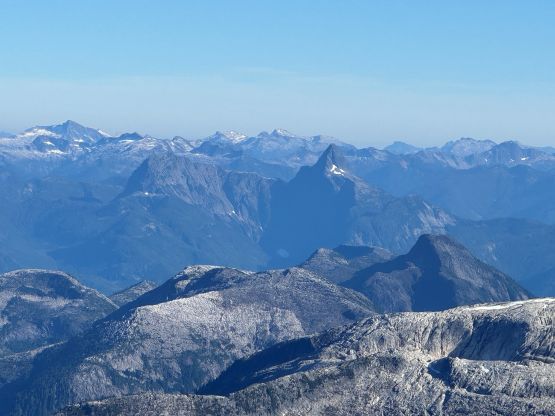
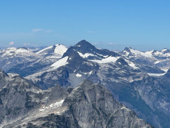
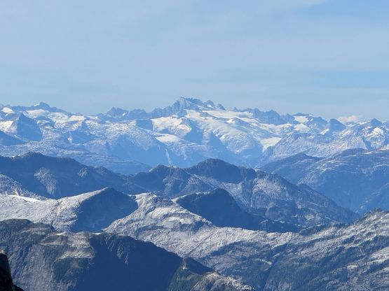
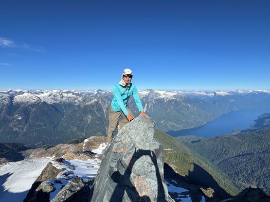
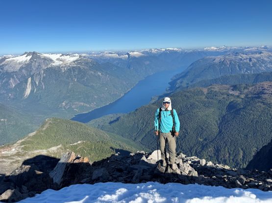
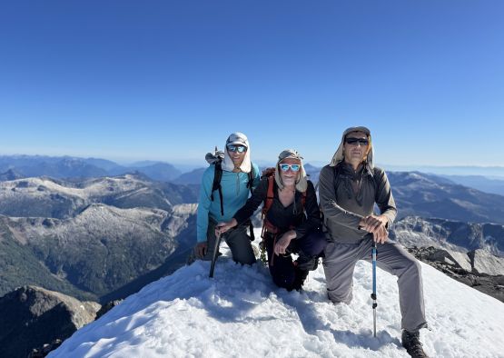
Eventually we gingerly worked our way down the SW Ridge back to the gear cache even though the S. Face might be the easier variation. We liked the scrambling on the ridge anyway. We had decided to put the rope in the backpacks from now on even though the crossing to “Lausmann Peak” actually had more visible cracks. I nevertheless had hundreds of days spent on glaciers so I was more than confident enough about the route-finding. The ascent of the NE Face of “Lausmann Peak” actually had some steeper snow slopes but I had no problem kicking steps in just the trail runners. Vlad and Rob had opted to switch to ice axe and crampons. The NW end of the summit plateau offered the best views so I also traversed a bit farther beyond the highest point.
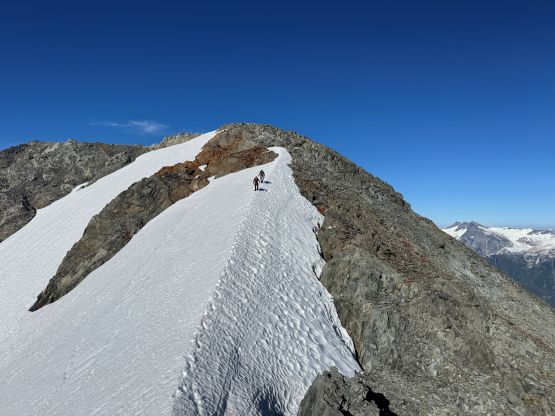
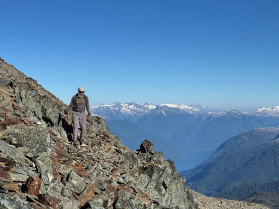
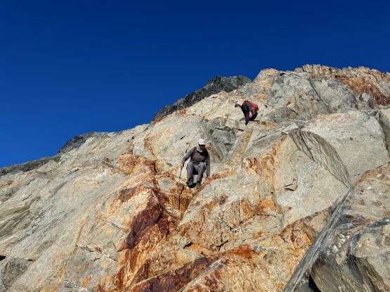
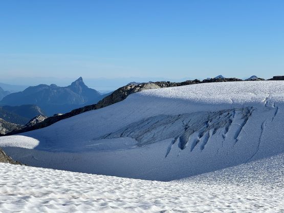
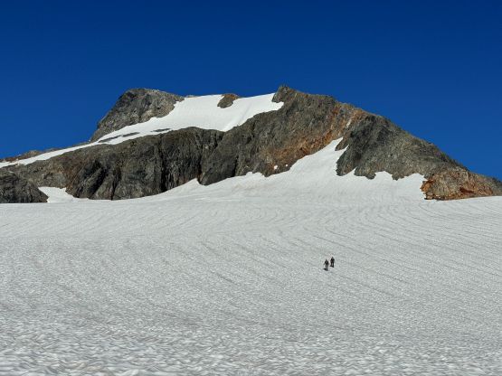
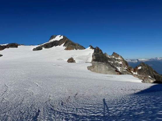
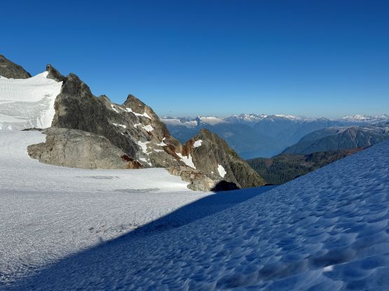
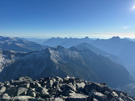
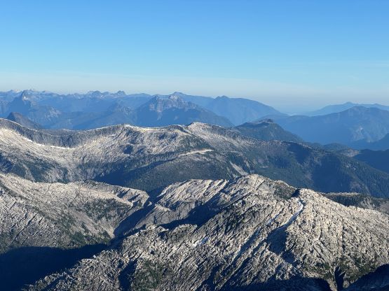
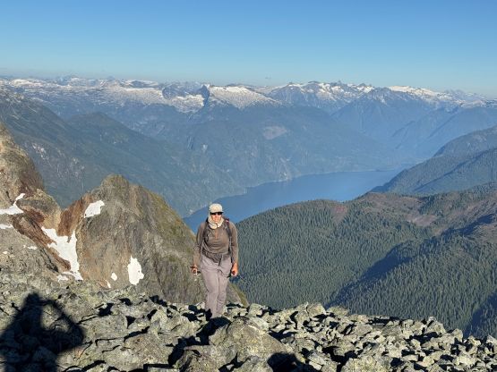
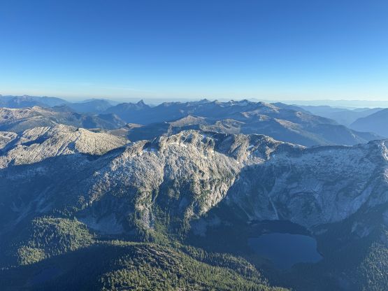
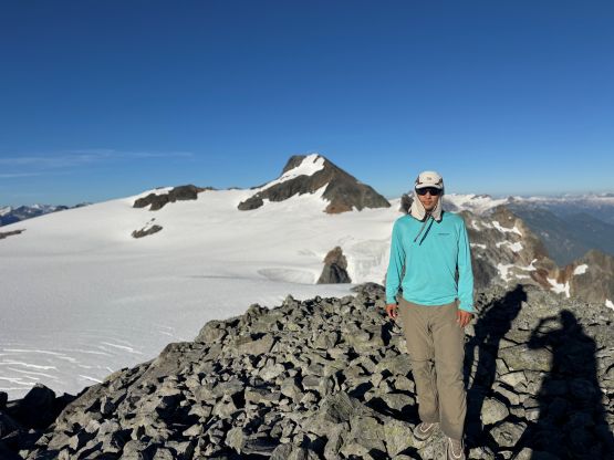
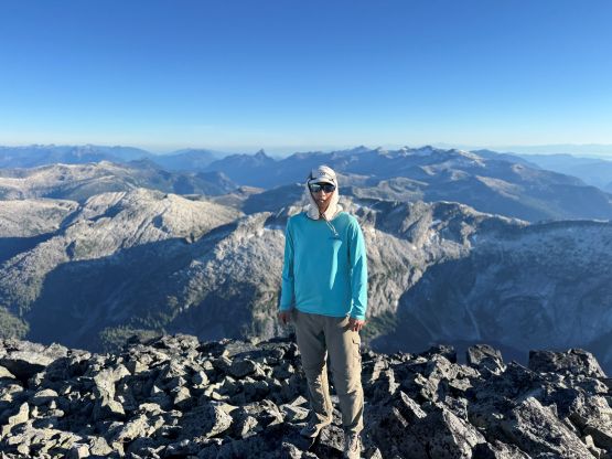
The crossing of the glacier from “Lausmann Peak” to the bivy site actually had the most amount of crevasses. I led across at least 20 visible cracks even though none of them seemed big, so I had to be 100% focused on the terrain ahead. Again, the rope was not used. I eventually had to strap the crampons on for the short ice step to exit the glacier. I briefly tried to descend without crampons but it would be very stupid. Vlad and Rob had their crampons already on from the down-climbing higher up on “Lausmann Peak” so they passed me at the very end. To my surprise we had less than an hour till sunset so “Split Peak” would have to wait till the following day, but that’s okay. The bivy was incredibly scenic and I was happy to sit there soaking in the views.
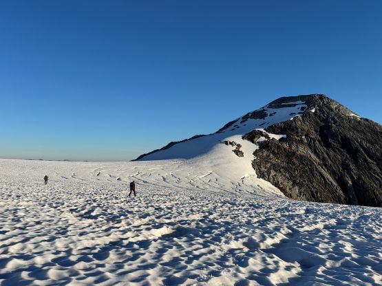
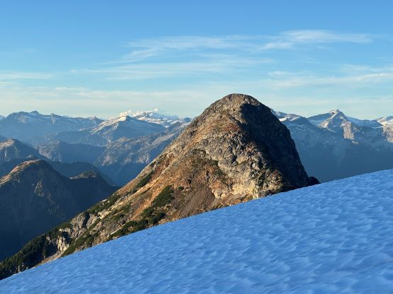
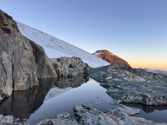
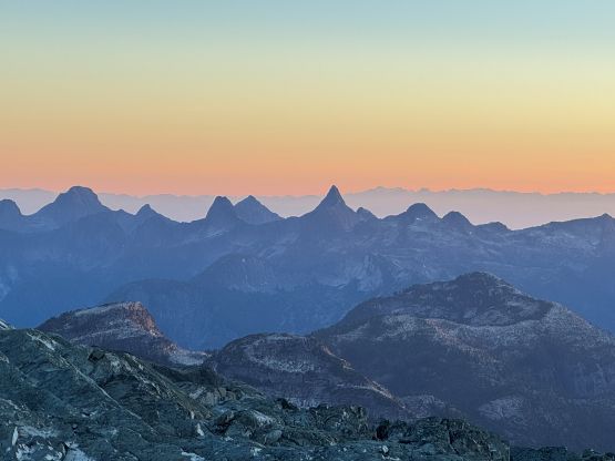
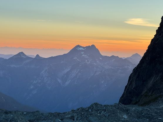
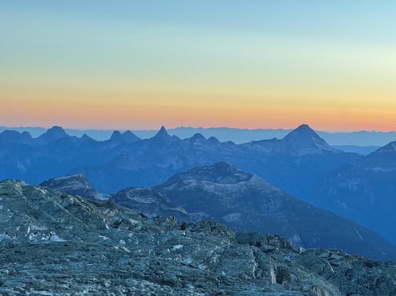
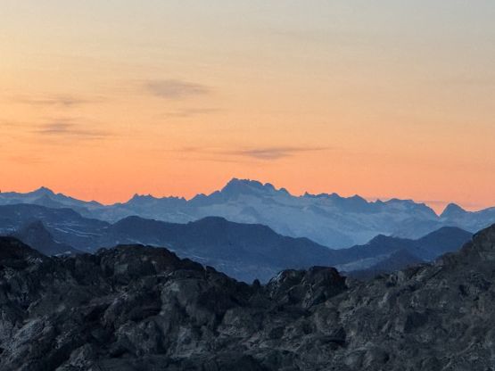
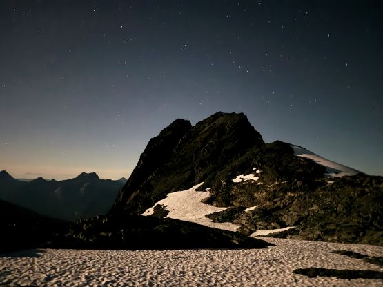
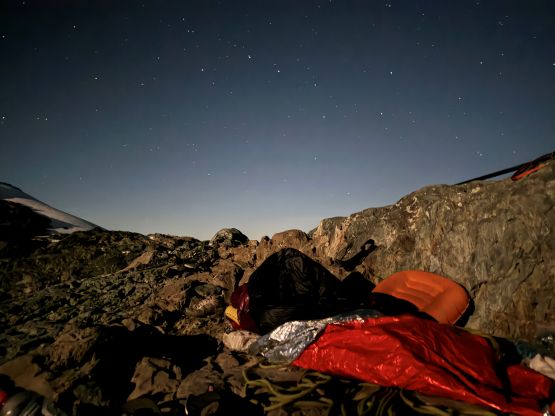
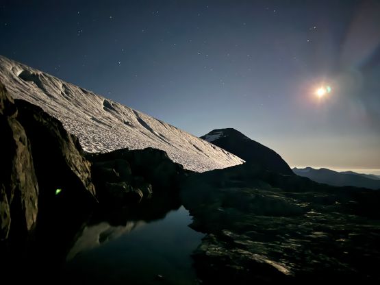
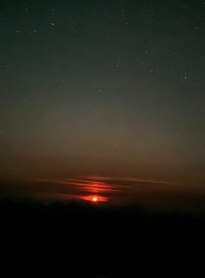
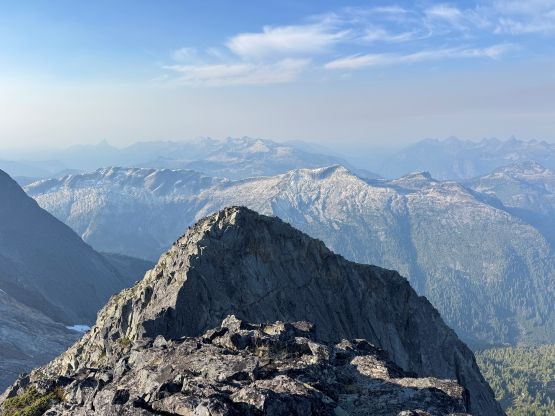
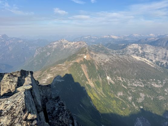
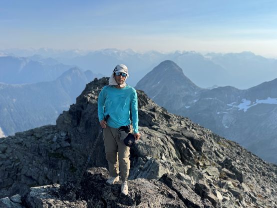
The night was windy and cold such that I had to wrap myself with the emergency tarp that I had brought up. I only opted to take the +2C sleeping bag which was definitely undertooled at this time of a year. I did get enough sleep, thankfully. The next morning we got up at around 7 am again and decided to pack everything up to move them closer to the base of “Split Peak”. It wouldn’t make sense to do an out-and-back ascent of “Split Peak” from the bivy site. We then ditched our entire packs and scrambled up “Split Peak” without carrying anything. The scramble was mostly class 2 with maybe a couple harder moves. It’s nowhere as hard as appeared and the rock quality was also acceptable.
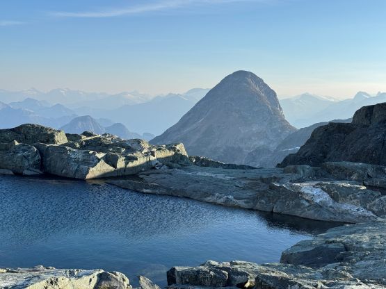
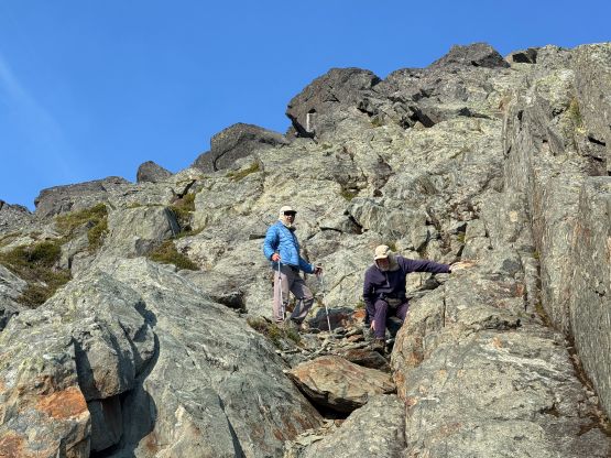
As mentioned earlier we descended a different way to the north of our up track mostly because we had relocated our heavy packs from the bivy site to the base of “Split Peak”. The route worked out just fine, and the bottom of the scramble rejoined our own route. The bottom of this 500 m stretch was the harder and more complicated part anyway. Once back on the trail I opted to stay behind Rob and Vlad since I had already done my fair share of leading in the alpine. Following someone on a trail I could simply shut my brain down into the “autopilot mode” so I could conserve energy for the long ass drive back home. As expected, the long FSR drive plus the two ferry crossings was exhausting. I eventually got home past midnight again. Overall this trip was very successful and I look forward to the next trip up there.