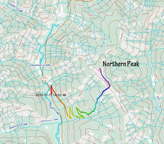
Northern Peak
November 11, 2015
2179m
Lillooet / Duffey Lake Road, BC
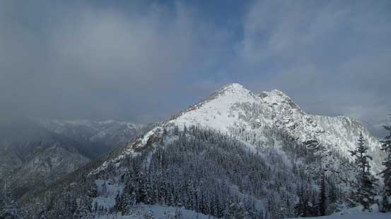
The weather for this Remembrance Day was a little bit marginal so when Alex suggested a day-trip we were looking at something not too outrageous. It seemed like Lillooet had the best weather (as usual as it’s on the leeward side of the Coast Mountains). Northern Peak is the small mountain that barely pokes above treeline on the east side of Duffey Lake Road across from Downton Creek drainage. There’s no information about this ascent and our inspiration came almost exclusively from gazing at the Google Earth maps. There’s still 1500 m elevation gain despite its lowly status and combing with the long drive we decided to leave West Vancouver by 3:30 am in the morning.
Northern Peak hiking route. GPX DL
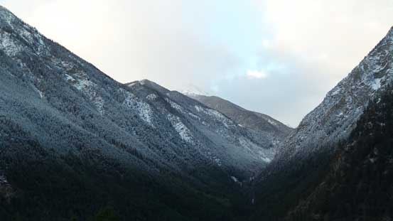
That meant waking up at 2:30 am at home… The crux of this trip was actually the drive. The steady drizzle that we encountered from West Vancouver all the way to Pemberton had gradually transitioned to flurries as we drove up the steep switchbacks towards Joffre area along Duffey Lake Road making some winter conditions. It wasn’t too bad on the way up but coming down the other side of Cayoosh Pass was a different story. The maintenance stopped shortly after Duffey Lake (too early in the morning) and as we kept driving downhill the snow coverage had transitioned to a thin sheet of ice. Thankfully my car had proper tires to gain some traction but even that, I had to keep the speed down at roughly 40 kph and this section of the drive took a long while. The logging road that goes up the slopes of Northern Peak wasn’t difficult to locate and the weather was indeed clearing up towards the interior side.
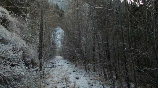
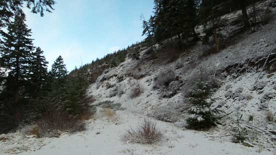
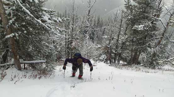
The logging road was in a surprisingly good shape (to walk, not to drive). I don’t think it’s even drivable on ATV but as a hiking trail it’s a great one. Other than a few washouts and a few slightly bushy corridors there’s no major obstacle and we gained elevation to 1200 m relatively quickly. Here we had to make a critical decision. One option was to keep following this logging road to 1500 m but it’s very winding and leads away from the true summit. The other option was to bushwhack straight up the slope from here. We opted for the bushwhacking choice as the forest appeared to be fairly open. Indeed, it felt more like the Alberta bushwhacking for at least the few hundred meters of height gain anyway. At one point we started to encounter lots of dead falls but thankfully that horrible part didn’t last long. At elevation of 1800 m there’s finally enough snow to strap the snowshoes on and then it’s the ridge crest.
A good perspective of Downton Creek

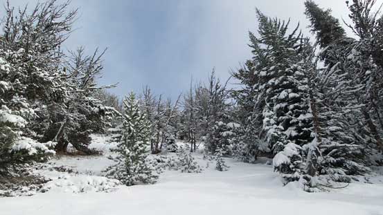
Following the logging road up, we started to encounter snow
This is as bushy this road gets
Around a corner

Time to head up through the forest

The dead fall field

Alex hopping over one of the many, many dead falls

Taking a break

Snowshoes on
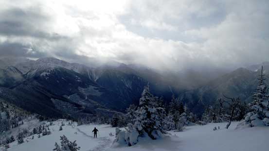
Still a bit of ways to hit the ridge
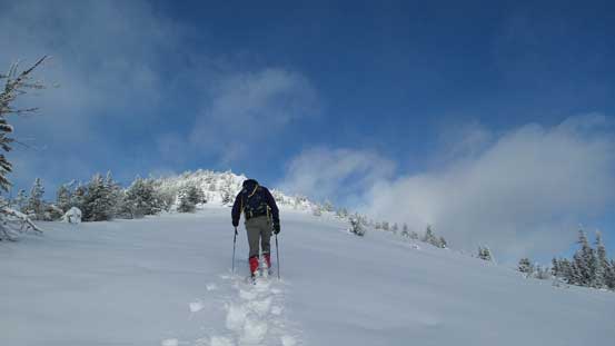
Slogging up
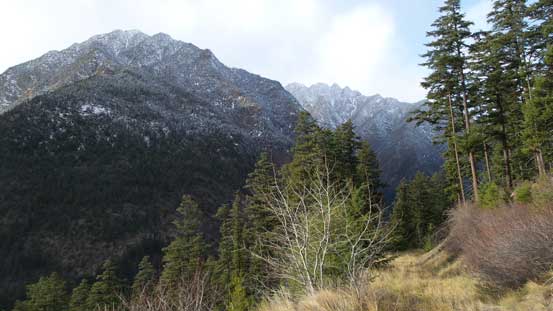
The view opens up towards Geoffrey Peak

Almost on the ridge now
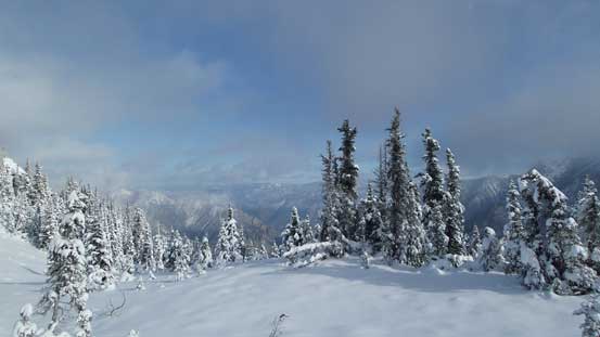
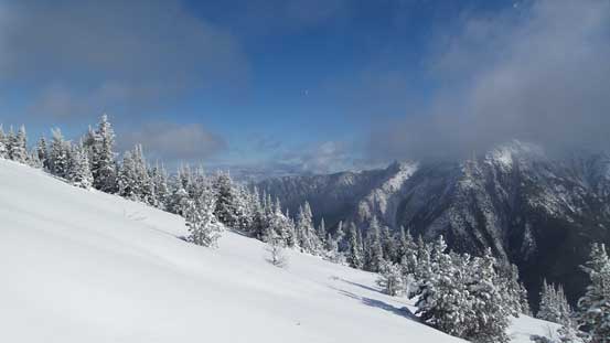
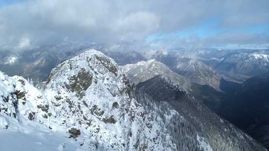
There’s surprisingly some open views from this ridge (it appeared to be entirely forested on Google Earth). We followed it upwards and leftwards over a bump. The plod to the true summit was a little bit foreshortened but all on open terrain. Open topping out we were very pleased to see the next highpoint was clearly lower than where we were standing. The traverse seemed to be very difficult in the winter conditions but thankfully we didn’t have to attempt that…
Hitting the ridge, we got to see the other side

Starting the ridge traverse

Looking back..

The terrain opens up towards the false summit

The view opening up towards Lillooet direction
A major dip, then the final summit push
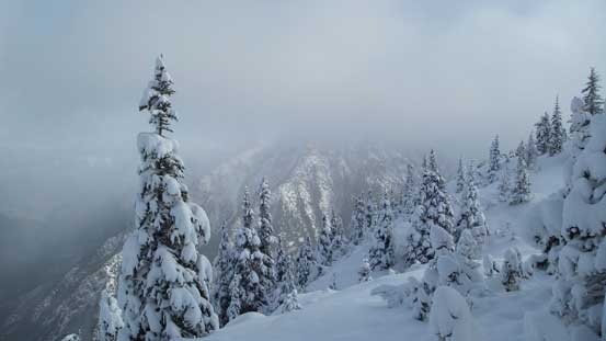
Wintery views
The terrain was quite mellow
Looking back towards the false summit
Alex plodding up the true summit
Almost there, looking over the edge towards the next highpoint
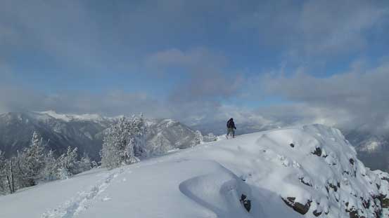
Alex approaching the summit
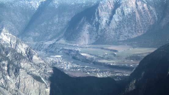
A zoomed-in view towards Lillooet

Summit Panorama. Click to view large size.
Looking back along the ridge towards Slumber Peak in the distance
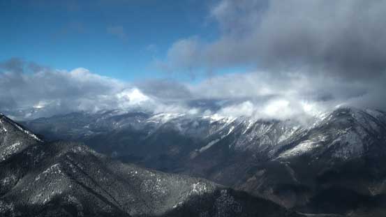
Part of Mission Range by Lillooet

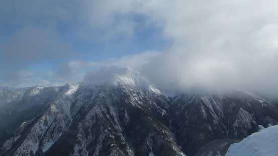
I think this is part of Seton Ridge
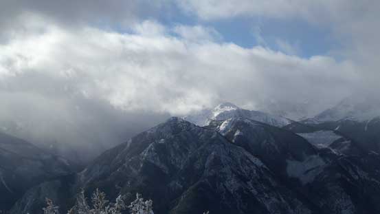
Geoffery Peak

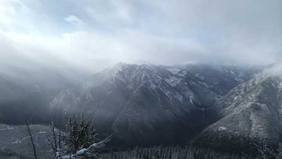
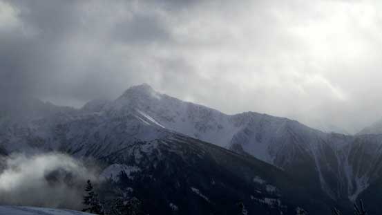
Weather was still bad up the Duffey Road

The next highpoint that we didn’t have to tag

Me on the summit of Northern Peak
Now it’s the time to head home. Plunging down the soft powder following our snowshoe tracks along the ridge was fast and furious but we both got caught a few times by hidden rocks underneath. Then down the face. It’s a wee bit too steep and too shallow for plunging down on snowshoes so it felt very awkward, but once the ‘shoes were off it’s becoming pleasant again (until that dead fall field). The ground was super slippery though and required some caution. A pair of stiff mountaineering boots helped a lot. Back to the logging road the last section seemed to drag on forever (as usual for all trips) and our round trip time was about 6.5 hours.
I think this is part of the Enterprise/Brew massive
Heading off the summit

Slogging back up the false summit

Looking back at the true summit

The steep forested descent

Back to the logging road
Lower down

Almost done
The drive back, although just as long, tiring and tedious, wasn’t nearly as tricky as on the way in and we all got back home by dinner time. Overall this was a great day spent in the mountains. As of mid-November you just can’t expect too much but on this trip we took full advantage of the brief weather window.
