Miner’s Peak
December 21, 2011
2420m
Canmore, AB
Miner’s Peak was my second ever objective ascended in winter time and I did it on the same day after finishing Ha Ling Peak. Miner’s Peak was “right there” and it made perfect sense to combine these two together. Like its neighbour, this’s merely a bump on the north side of Mt. Lawrence Grassi but due to its proximity to Canmore it had gained a name at some point. I believe the name is still unofficial but I’d take it anyway. There’re three peaks and the commonly accepted “Miner’s Peak” is the easternmost summit but the two west peaks are higher in elevation. At that time I didn’t have a clue which’s the “true” and which’s not so only ascended the two higher (west) summits.
Ha Ling Peak and Miner’s Peak standard scramble route
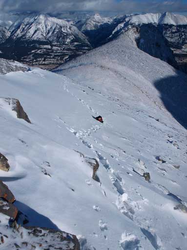
Descending the connecting ridge from Ha Ling Peak to Ha Ling/Miner’s col went uneventful and the ascent of Miner’s Peak from the col was pretty similar to what I just did in the past few hours. It’s mostly a walk on frozen scree although I did have to deal with some snow near the summit. I had to kick pretty hard into the wind-affected snow to get some good purchase and I felt it quite sketchy at places. But I made the summit nonetheless.
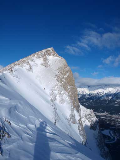
Looking back to Ha Ling from Ha Ling/Miner’s col.
Another look at Ha Ling
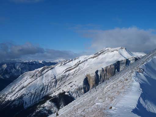
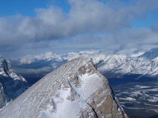
East End of Rundle

Some snow near the summit

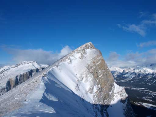
Ha Ling Peak from the summit
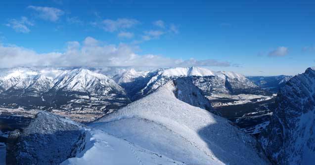
The peak at center in foreground is the “real” summit of Miner’s Peak
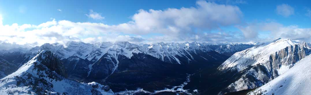
Panorama towards Goat Range and Spray Valley

Mount Lawrence Grassi
Zooming-in towards the summit of Ha Ling
I ditched my backpack lower down
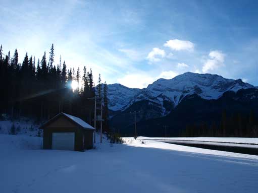
Back to trailhead. Sun was getting low
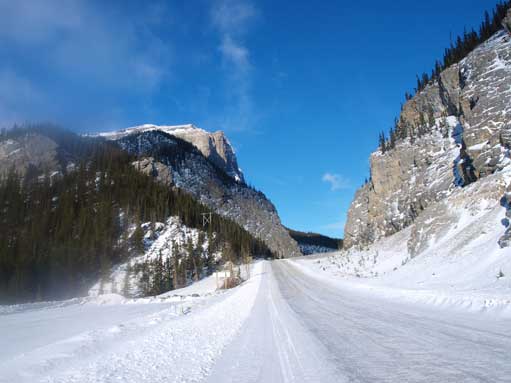
Crossing the slippery Smith Dorrien Road
I returned to Ha Ling/Miner’s col, and retraced my footprints down. Descending the snow-covered trail was surprisingly easy and fast. I decided to drive to Banff and get another peak done since I still had some energy.
