Mount Milton
January 18, 2014
2134m
North Thompson Corridor / Valemount, BC
There’re quite a few small peaks around Valemount and Blue River that can be accessed easily by a system of logging roads, and Mt. Milton is one of them. It’s been on my winter to-do list for a while already due to its proximity to the much-bigger Mt. Albreda, but this area rarely has persisting good weather. Finally the good weather forecast arrived, but accompanied by spring-like temperature. A special avalanche warning was issued for pretty much the entire BC and Alberta and bulletin’s rating was “High/Considerable” for most areas. Thankfully this is not an aggressive objective. After carefully examining the topo map and satellite images, we estimated the steepest slope leading towards the true summit was less than or close to 20 degrees. There were a couple issues to debate regarding the plan, namely snowshoeing versus skiing and 1-day versus 2-day. Combining them there would be 4 choices, and each has its own advantages and disadvantages. At this point the experience and confidence would largely affect the decision making, and Ben and I decided to ascend it in a single day, using snowshoes.
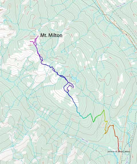
Mt. Milton ascent route via Allan Creek snowmobile road. GPX DL
The mountain itself isn’t high, but the approach is bloody long. I have done the nearby Canoe Mountain on snowshoes and we knew that if the snowpack is as crappy as in the Rockies then we’d need infinite amount of effort. Our only reference was the satellite map, and we GPS’d the logging roads (about 35 km south of Valemount). We thought the first challenge would be finding a proper parking lot (and potentially shovelling a parking area from the Highway shoulder). However, we were very surprised to see a large parking area (signed as Allan Creek snowmobile staging area), and a groomed snowmobile trail, so instead of starting immediately at midnight, we decided to catch up a couple hours’ sleep first. At local time of 4AM, about 4 hours before sunrise, we started the long trek. Now the game also switched from GPS’ing the maze of logging roads to simply following the groomed track up. We could never even think about having a luxury snowmobile trail leading all the way to alpine but it did happen on this trip.. The game changed from a supposed post-holing suffer fest to cruising up the mountain. By the time we almost reached the first highpoint, the moon was still hanging high.

Mt. Robson at midnight. Photo by Ben Nearingburg
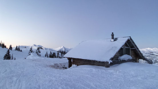
There’s a cabin near the first highpoint.
Well, the mountain decided to give us more surprises. The snowmobile tracks didn’t stop at the end of this forest service road, but actually continue leading towards our objective… Oh well, then we just decided to follow them and see where we would end up at. The ridge was more treed than anticipated and also had more up-and-downs. The snowmobile trail led us rolling over three hills with some big elevation losses and regains. We could have stick closer to the ridge crest and reduce some elevation loss but we’d rather having a set of tracks to follow than post-holing in the bush..
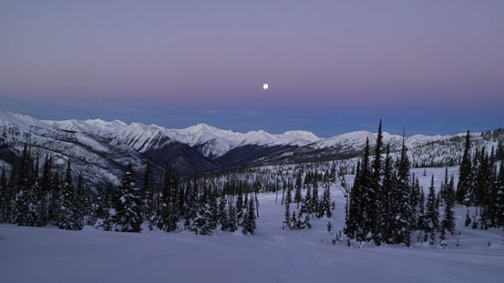
Moonset

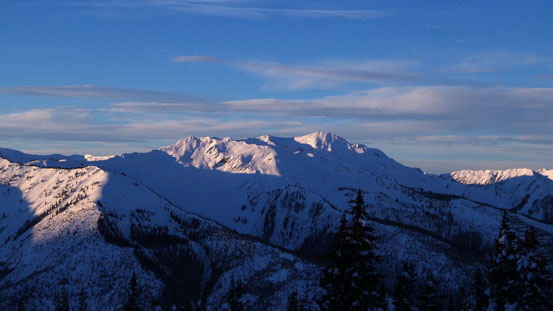
Mount Sir Allan MacNab is another objective around here
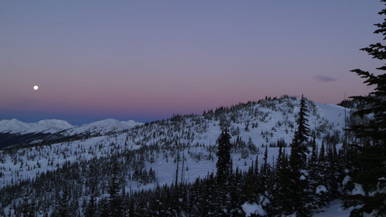
Another photo showing the moonset

Unnamed peaks in the Cariboo Mountains
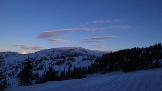
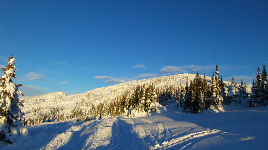
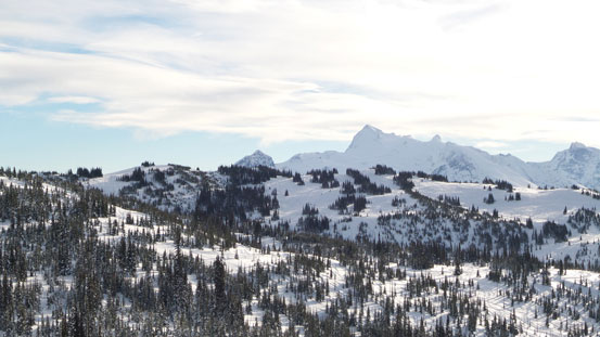
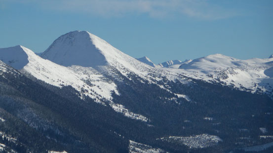
The broad summit of Mount Milton ahead, still quite a long way to go.
Another unnamed peak, this one is in the Monashee Mountains
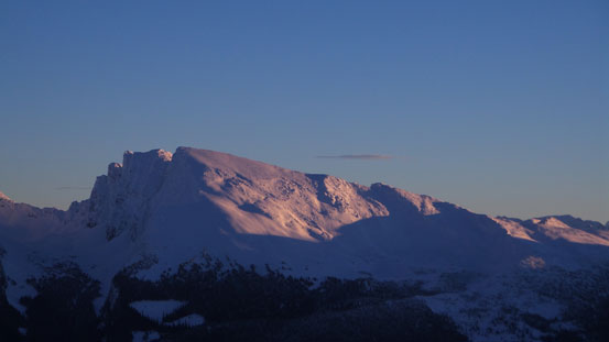
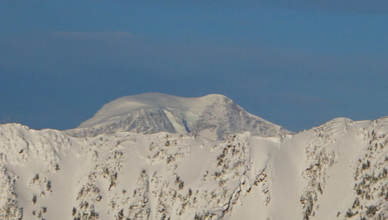
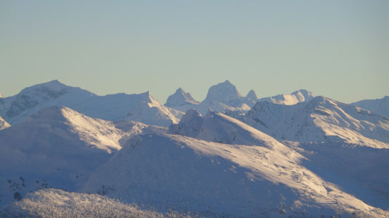
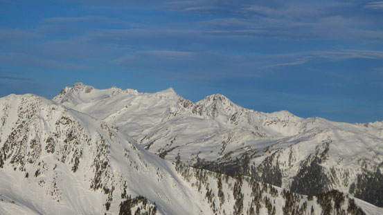
Mount Albreda

Unnamed peaks

Unnamed peaks at the headwater of Allan Creek
One more unnamed peak, on the south side of Allan Creek
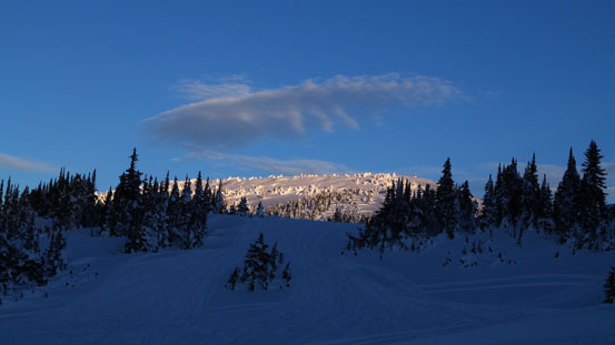
Mount Milton ahead
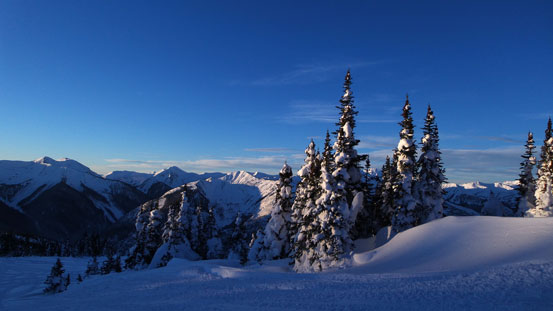
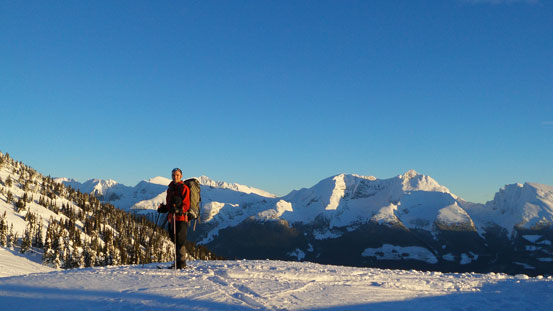
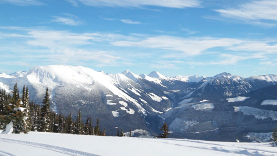
Incredible scenery in this morning.
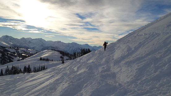
We were so fast that the sun didn’t hit us until we were right beneath the final push towards the true summit. The summit area was almost destroyed by the snowmobiles and we were soon standing on the top, with incredible views all around. The official summit was the lower bump on the north side and appeared to be definitely lower than the one we were standing at. But since we had lots of extra time to kill we decided to check it out too. Again, it was an easy walk on snowmobile trails.
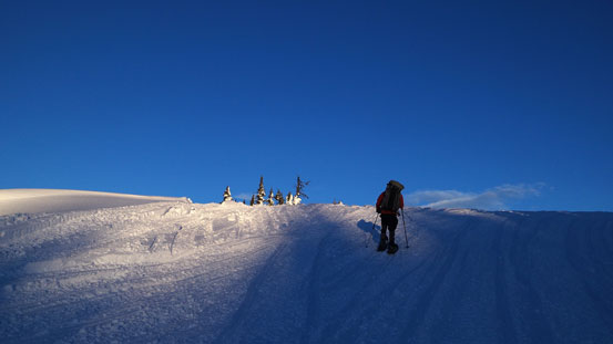
Ascending into the sunshine!
The true summit of Milton. Official summit of to the right of it.
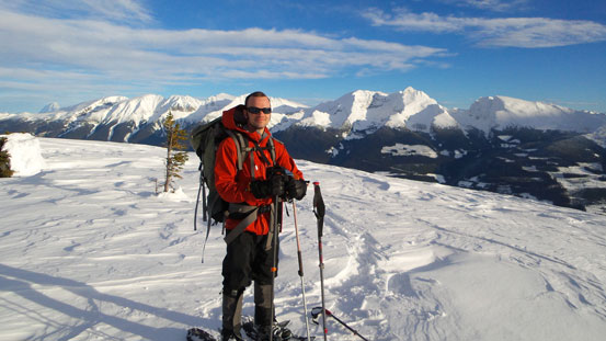
Ben with the Monashee Mountains behind

The summit area looks like a snowmobile resort…

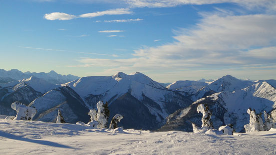
Summit Panorama. Click to view large size.
Mount Sir Wilfred Laurier
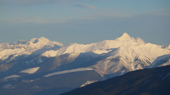
Mt. Longstaff and Whitehorn Mountain
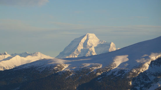
Mount Robson
Mount Geikie in the distant Ramparts
“Charlotte Peak” by bivouac.com

Canoe Mountain and Mt. Thompson
Peaks south of Allan Creek
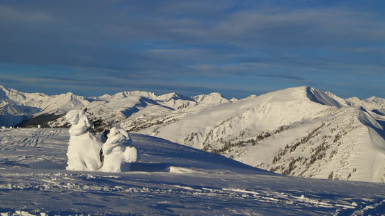
Unnamed peaks

An impressive unnamed peak at the headwater of Allan Creek
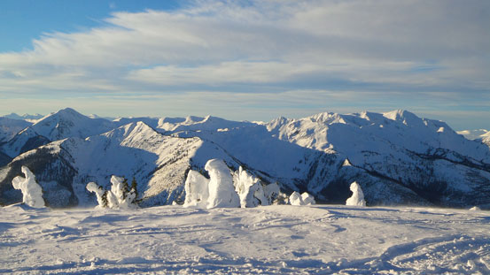
More unnamed peaks in the Cariboos, this group is looking northwest
Mt. Sir Allan MacNab
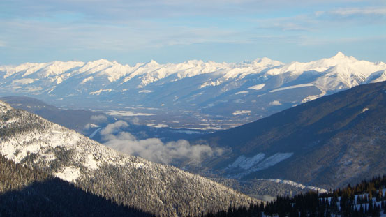
The distant Valemount valley area
Ben on the official summit of Mt. Milton

Me on the official summit of Mount Milton
On our way back we on purposely slowed down to allow the sun moving away from Mt. Albreda so we could have some nice photos of it. We also wondered around near the first highpoint for a while. Eventually we felt like having enough fun so started the long way down. Coming down this sort of steep and hardpacked/groomed trails was much easier if taking the ‘shoes off. Now the crux came. We had to dodge 20+ speedy snowmobiles on this trail… It was kinda sketchy on some steep, narrow and blind corners though.
We short-cut the way back to avoid re-ascending the true summit
Slowly going back up and over the bumps. Albreda in the background
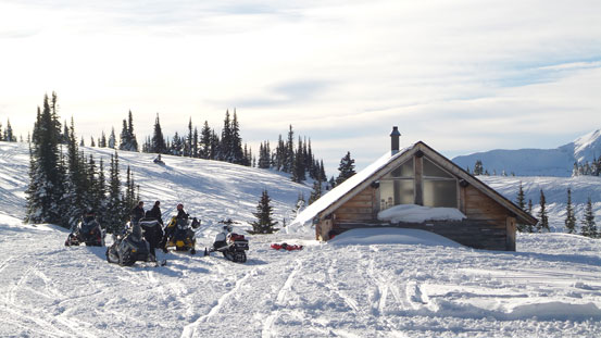
Back to the sledder’s cabin
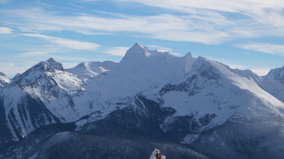
Mount Albreda
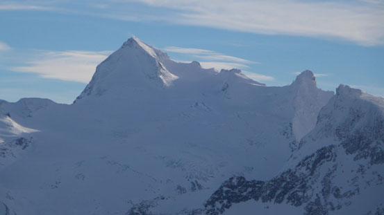
A zoomed-in view of Albreda

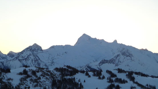
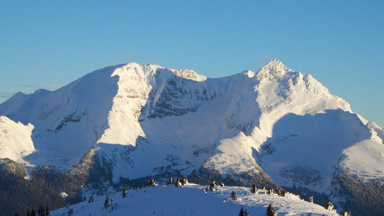
Mount Monashee, the highest in Monashee Mountains
Clemina Creek is another popular snowmobiling area
“Stargazer Peak” at the headwater of Clemina Creek
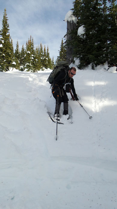
Regaining the trail after going off route briefly
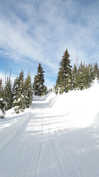
Typical view along the road

More boring fireroad walk.. The GPS showed our speed down the road at around 6-7 km/h
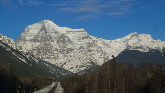
Robson and Resplendent on our way home.
Our round trip time was 9.5 hours which was at least two times faster than anticipated. Well, having a well set of snowmobile tracks leading from car to summit is certainly different than post-holing all the way up. Mount Milton is proved to be a great objective when avalanche condition is sketchy but weather is good. However apparently we did a poor job at the researching stage, so after the trip we went to Valemount’s information center asking for other snowmobile areas’ beta. Apparently there’re more wondering opportunities around this scenic area. And of course, when the snowpack becomes stable in the spring I’ll certainly be interested in Mount Albreda itself and other big Cariboo/Monashee objectives.

Steven
Keep me in the loop on any Albreda plans.
Kevin
Sure Kevin. Based on the images we got and Reiner’s (brief and short) trip report, I currently have two plans. A spring ascent in April via the direct creek/gully approach which must require very stable snowpack. Or a early summer ascent via a set of logging road, the LFS ridge.
I was very interested to see your pictures. They confirm that the “real” Mt. Milton, i.e. the one that was originally named by the Milton-Cheadle expedition, is actually Albreda, a far more impressive peak. See http://publications.americanalpineclub.org/articles/12194310700/ –“The Location of Mt. Milton and the Restoration of the Names ‘Mt. Milton’ and ‘Mt. Cheadle’”, American Alpine Journal, 1943.