King Creek Ridge
December 17, 2013
2420m
Kananaskis – Highway 40, AB
After finishing the exhausting final exams, it was finally the time to think about the mountains again. However, being in the middle of dead winter, it’s hard to find worthwhile objectives. This time instead of multi-day slogs, a series of day-trips were in order. The first candidate was King Creek Ridge, a short solo ascent near Kananaskis Lakes.
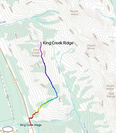
King Creek Ridge standard ascent route. GPX DL
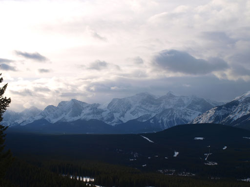
It’s so short that I didn’t bother to wake-up early. I slept in until 8:30 am in Calgary and didn’t start the trip until almost 11 am. However, I did give it some respect. I’d heard that some experienced scramblers didn’t make to the top on their first attempt (in winter). I also know that there’s a short moderate scrambling step near the true summit so I packed ice axe and crampons (which proved to be unnecessary given the condition I got). The weather was supposed to be good, but strong wind was in the forecast. I certainly felt the wind on the drive in, but as soon as I passed Wedge Pond, the wind started to die off, and at the parking lot, there was no wind at all.
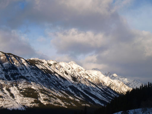
Mount Lawson from the parking lot

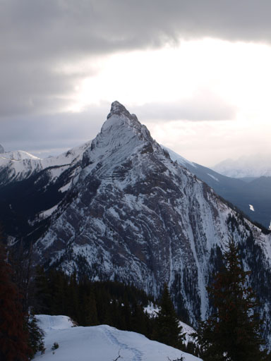
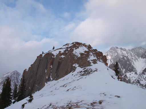
King Creek Ridge from the parking lot
With good spirit I started the trudge. Take a note that there’s a good trail all the way up, but in winter, it’s very difficult to follow. I couldn’t even locate where that trail started so entered the bush right away. Minutes later I came across a set of old snowshoe tracks. From their tracks I could kind of tell that they probably used some poor ‘shoes. With my Lightning Ascent’s I could easily take more aggressive lines and following their tracks was kinda annoying since they’re too gentle. Anyway I lost their tracks pretty soon.
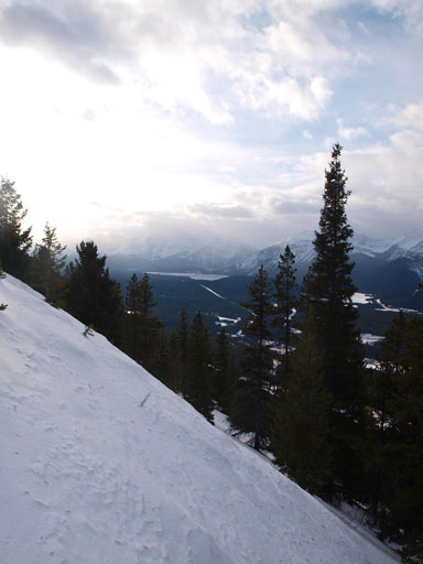
The snow was in a very bad quality on this day. There’s a thin hard crust (5 cm or so) sitting on top of shitty sugar. For every step forward I post-holed to the bottom. Thankfully the snowpack wasn’t very deep otherwise it could take me hours. There’re also some cliff bands on the lower part of this mountain and I was forced to traverse climber’s left onto some shallow and steep spots that I had to take the ‘shoes off which was very time consuming. It took me much longer than expected to crest the ridge top. More and more views started to show up as I progressed along the ridge which certainly helped to boost up the motivation.
A view of the peaks in Kananaskis Lakes area
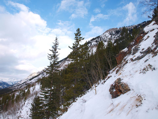
Steep, thin terrain at the lower slopes. I had to take the snowshoes off briefly
Higher up, it was still steep
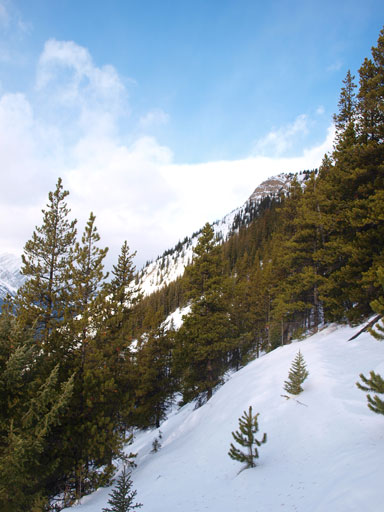
In the trees
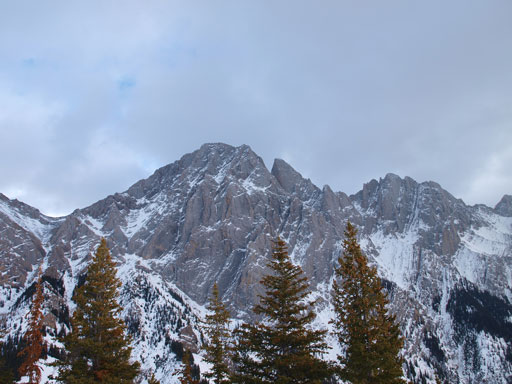
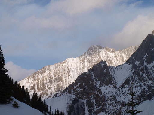
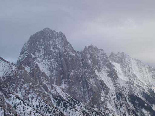
On the ridge now, this is Mount Blane and “The Blade”
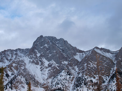
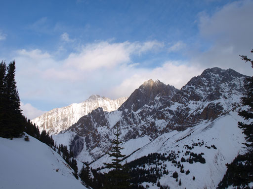
Mount Brock
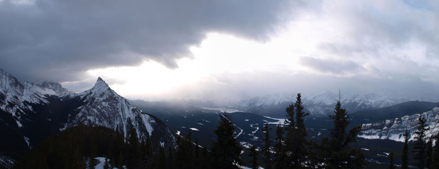
Panorama looking south
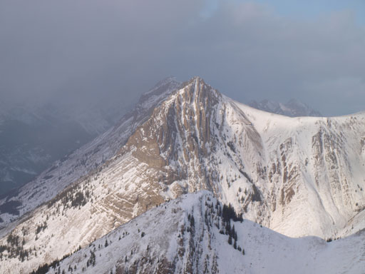
Mount Wintour
Mount Evan-Thomas
Evan-Thomas, Packenham and Hood
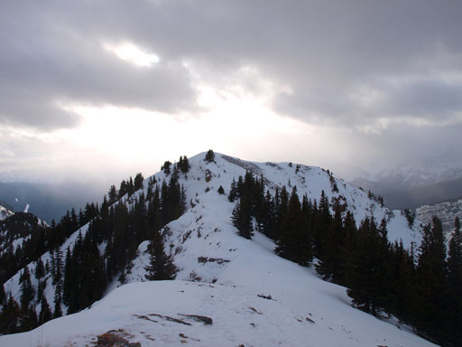
Post-holing started to get better now, but the ridge was also longer than I thought (and still mostlly in the trees). Well, I forgot this peak is barely above treeline.. But as a result, once I broke through the treeline, the false summit was “right there”. The moderate step on the true summit was easier than expected. I didn’t even need to use my hands, but there was some brief exposure so caution was still required. The forecasted strong wind never arrived here on this day.
Ahead is the true summit
Looking back towards the false summit
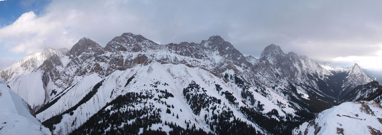
Panorama of Opal Range from the summit. Click to view large size.
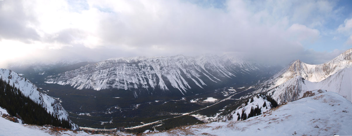
Panorama of Kananaskis Valley from the summit. Click to view large size.
Mount Blane
Grizzly Peak
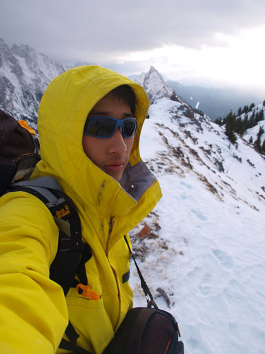
Me on the summit
The sun’s getting down
One more shot from this ridge

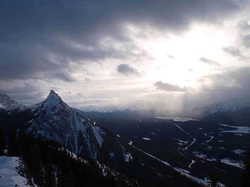
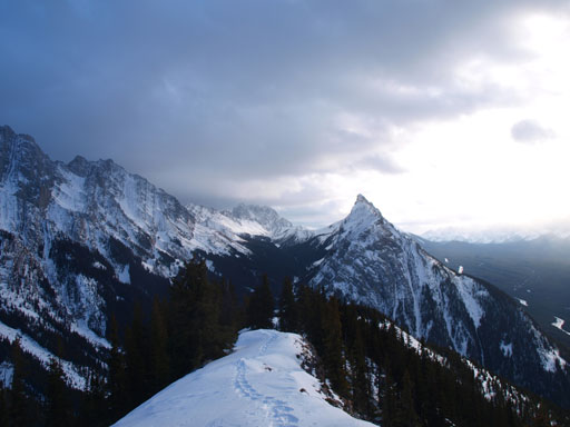
The clouds were ever-changing on this day. Photo from the descent

Back to the Highway now, looking towards Mt. Blane
The descent was fast but I did get surprised from beneath for quite a few times. I can’t say I’ll highly recommend this one in winter, but it’s a good peak offering lots of work-out and some nice views.
