Towincut Mountain
February 7, 2021
1249m
Lake Cowichan / Vancouver Island, BC
The very southern tip of Vancouver Island does not really attract mountaineers as the terrain is nothing but endless rolling hills with logging roads criss-crossing in the valleys. Towincut Mountain is the highest peak south of Lake Cowichan and is still very much entirely forested with only the very summit free of trees. The peak has logging cuts reaching within 200 vertical meters from the top on all sides, and boasts an ugly “mysterious green tower” on the summit. The status of this peak was fairly unknown until the last two years as the 1000+ meters of prominence had started to attract peak-baggers. The ascent through the higher cut-blocks was reported “miserable” on the selected couple trip reports although they did it in summer time. The access has a few options but all involve lengthy driving to link up logging roads.
This past weekend saw the highest chance of sunshine on the southern Vancouver Island and I thought this might finally be the “right window” to tick off this summit. I managed to convince Vlad and Chris H. to join as both of them are also working on the “SW BC Prominent Peaks” list, at least half-hearted. The status of the logging roads was unknown especially in the winter time so to make sure we had enough contingency we agreed to take the ferry over on Saturday night and car-camp. I finished work at 7:30 pm and we drove straight to Horseshoe Bay terminal. We boarded the last ride to the island and eventually made to Gordon River at around 1 am following direction given by Google Map. I tried to drive up the spur road on the north side of Hauk Creek paralleling the base of Mt. Sutton but the loggers had pulled a bridge near the start. I drove back down to Gordon River and the next try was the road system on the south side of Hauk Creek. The condition of this road deteriorated after a critical junction but I still managed to drive to 650 m elevation in Hinne Creek drainage. We encountered snow on the last 2 km but there also had fresh tire tracks.
Towincut Mountain from Hinne Creek. GPX DL
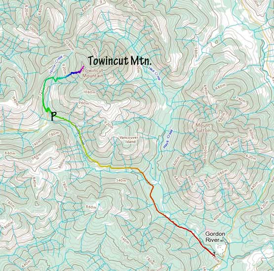
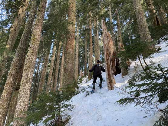
We had driven much farther/higher than I anticipated so we no longer needed to start in the dark. We still agreed to wake up relatively early to take advantage of the clear weather in the morning. We woke up at 7:10 am and started at around 8 am. Fresh ATV tire tracks extended a few hundred meters beyond where I drove to, but beyond that we needed to strap the snowshoes on. For the next while we plodded up the uppermost spur roads towards the head of Hinne Creek. At one point we took a spur road that descended slightly to an (unbridged) crossing of Hinne Creek.

Starting the hike briefly following ATV tracks

Snowshoeing up the high spur roads in Hinne Creek drainage
Vlad searching for a spot to cross Hinne Creek
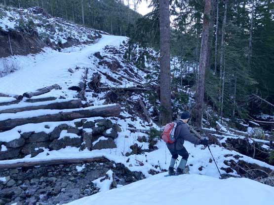
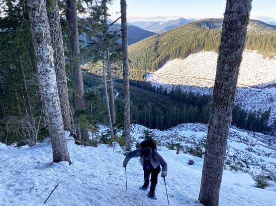
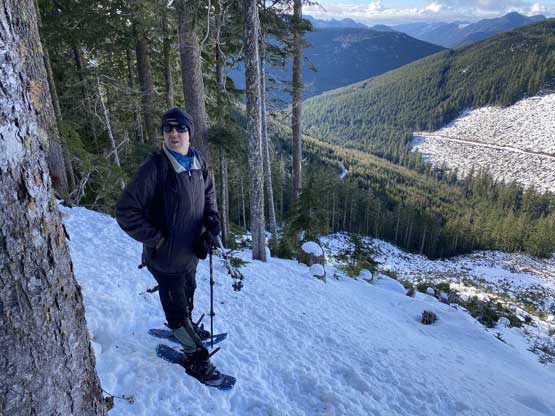
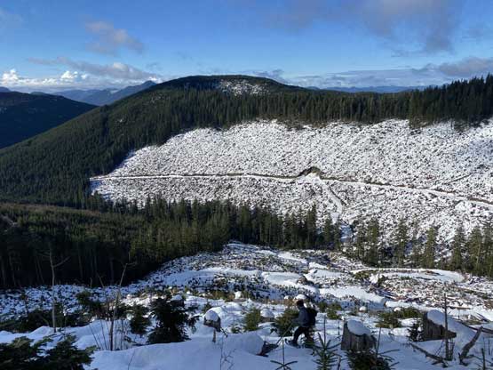
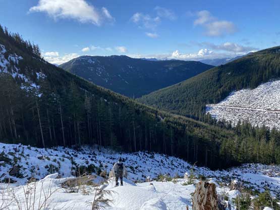
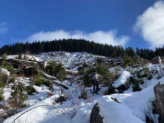
We weren’t too sure how exactly to ascend this peak but the general consensus was to ascend the cut-block on the SW slopes. After following the road for another few hundred meters we bailed into the cut-block. It didn’t look particularly inviting but the snowpack was deep enough to cover most, if not all of the unpleasantness. The snow was also crusty and supportive for the most parts. It’s a long grunt to the end of the cut-block. The mature forest beyond was even steeper and held icier snow. One stretch higher up in the forest (40 degrees) almost required us to take off snowshoes for crampons, but with some careful route-finding we managed to ascend just on snowshoes. The summit was then shortly reached and as expected, only the very top of this peak was free of vegetation.
Looking back at the typical cut-blocks in this area
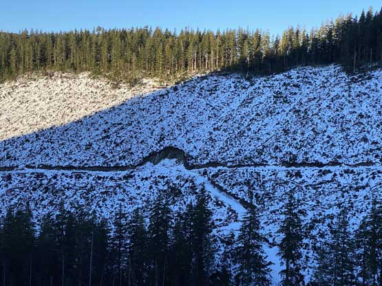
Chris partway up the cut-block
Chris exiting the cut-block into the mature forest

Vlad leading us into the mature forest
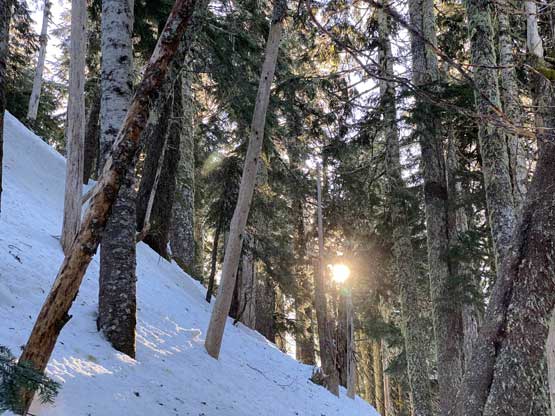
After a while we finally tasted the first rays of sunshine
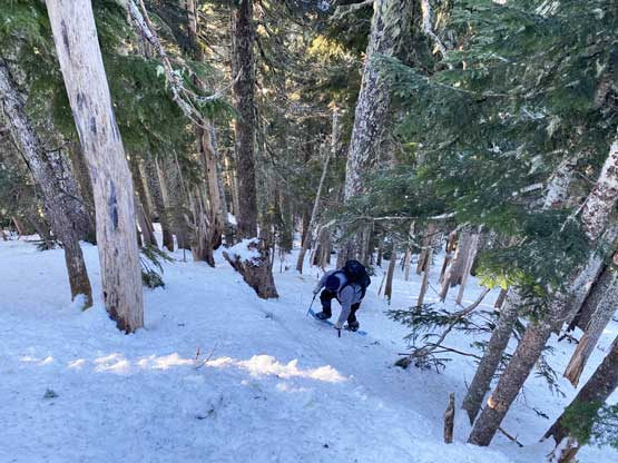
Chris grunting up the steepest stretch in the forest
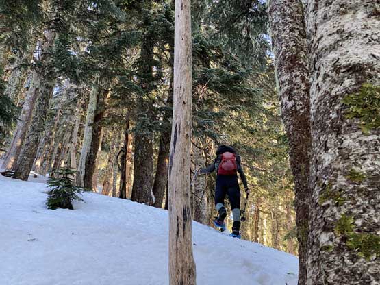
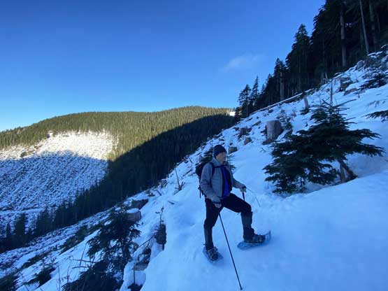
Vlad plodding onto the upper, mellower ridge

Another photo of the sun beams in the forest
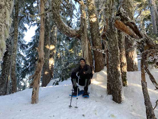
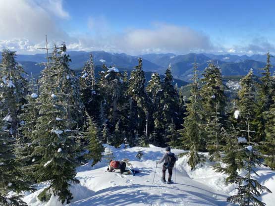
Vlad taking a short break below the summit.

Dashing for the mysterious green dick

Partial Summit Panorama from Towincut Mountain. Click to view large size.
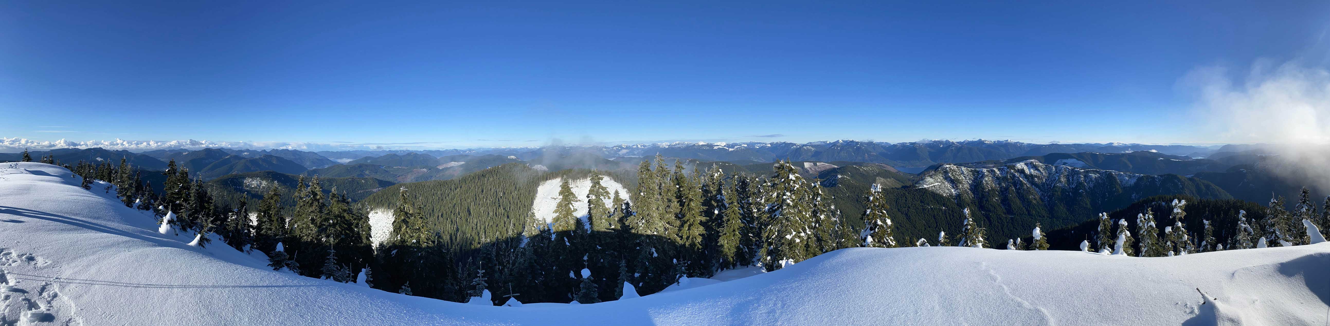
Partial Summit Panorama from Towincut Mountain. Click to view large size.

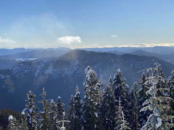
The low-angled February Sun looking south

Edinburgh Mountain right of center on the skyline
This is looking west towards Nitinat Lake and the low hills
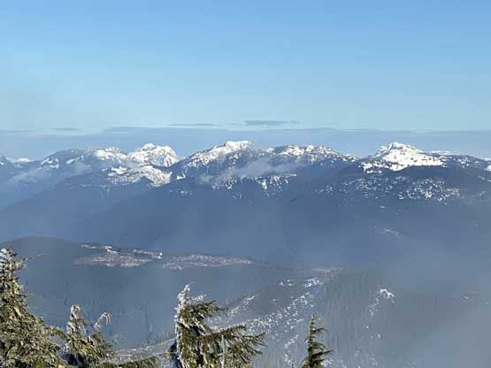
Mt. McQuillan on left and Mt. Hooper at center
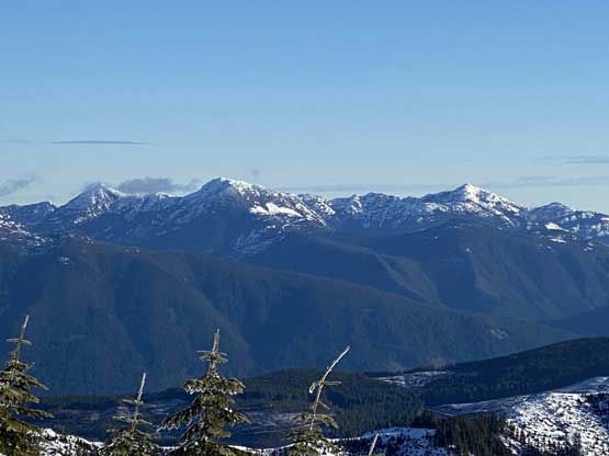
Mt. Landale and Mt. Whymper

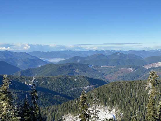
This is looking down towards the east end of Cowichan Lake

A bit of the west end of Cowichan Lake also showed up
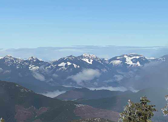
Mt. Spencer at center with Limestone Mountain to the right
Mt. Sutton in the foreground

Me on the summit of Towincut Mountain

Our group shot on the summit of Towincut Mountain
We spent some time trying to identify as many peaks as we could, but none of us was particularly experienced in this area. It even took me a while to figure out the peaks that I’d already done – Mt. Spencer, Mt. McQuillan and Mt. Arrowsmith to the north. I thought we needed crampons for the descent but we all insisted to down-climb on snowshoes and it worked out somehow. The rest of the descent through the forest and then the cut-block was as steep show, not too pleasant but also not too bad. This was a short hike – 3.5 hours even with a long stay on the summit.
Vlad taking a face plant at the start of the descent…

Chris descending the steep forest
Vlad descending the steep forest
Vlad at the edge of the cut-block
Descending the cut-block
As you can see, the cut-block was not bad with snow on it
Chris descending the lower part of the cut-block

Finally back down to the road

A review shot of the “mighty” Towincut Mountain…
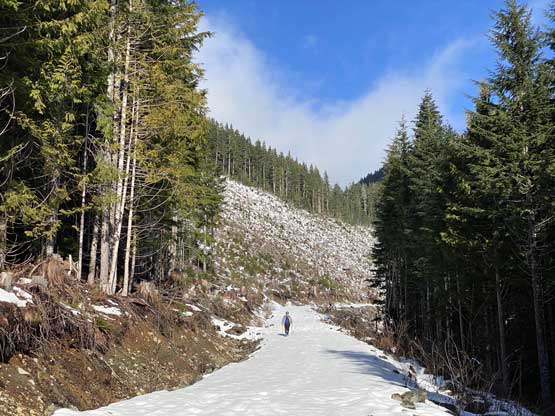
As much as the road plodding went
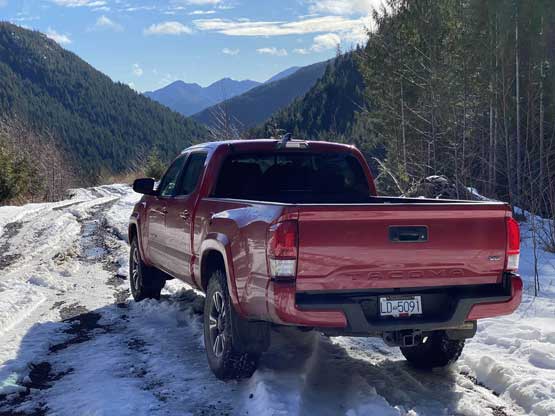
Taco parked at 650 m elevation…
It wasn’t even noon at this point so we must hike another summit. It would be nice to combine Towincut Mountain with Mt. Sutton in one day but with the short daylight time I figured it’s smarter to just hike up Bald Mountain in the middle of Cowichan Lake. The drive out of the FSRs was smooth and then I let the Google Map app to direct us to Bald Mountain’s trail-head.
