Little Horn Mountain
August 22, 2021
451m
Coquitlam, BC
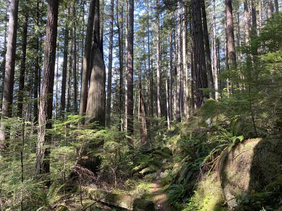
Despite the official name, this “peak” is rather just a pimple on the western flanks of “Dilly Dally Peak” that overlooks Indian Arm. A trail runs all the way to the summit but the view is very limited. There’s a “Croker Lookout” just below the summit but the true summit is completely forested. This objective is usually done as part of the “Dilly Dally Loop” that combines 5 peaks in one trip, but since the area is very accessible and close to home, I was not particularly stubborn at bagging these peaks in one trip. The hike around Buntzen Lake is decently scenic such that it’s worth to visit more than one time. Little Horn Mountain is the farthest but also the lowest of these peaks. Although the elevation gain is tame, the close-to-18 km round trip distance does make this feel like a slog, especially considering the lack of views.
I made this spontaneous decision at lunch time on Sunday. I was not planning to hike anything but the weather turned out much better than forecasted. I refreshed the forecasts several times and determined the weather was fairly decent close to the coast. I did not have enough time to hike a “proper” summit but I could aim to grab one of those peaklets near Buntzen Lake. I had two choices – “Diez Vistas” or Little Horn Mountain and I picked the latter. The drive from White Rock to Buntzen Lake took almost exactly an hour. It’s actually quite a complicated navigation in the city but I just needed to follow the direction given by Google Map. I had some concerns about the parking situation on a sunny Sunday afternoon but it’s actually not a problem at all.
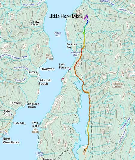
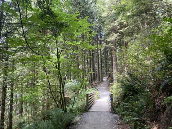
The first 4 km ish was to dash down the east shore of Buntzen Lake. The trail system is well signed and easy to follow, but there’s substantial amount of up-and-downs on this trail. By the time I made to the north end of Buntzen Lake I could already feel the slog, and I was not even halfway there yet. The next stage was to link up several branches of utility roads. One section just before the Mt. Beautiful’s turn-off had a gate with signs of “closed, keep out” but it seemed like everyone just ignored it. A couple hundred meters later there came another closure gate and again, it was not locked and I just walked through as if it’s there for show.

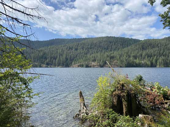

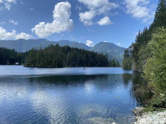
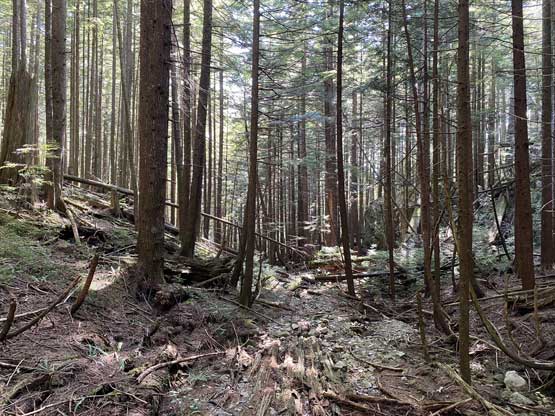
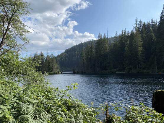
To my disappointment this section on the utility roads also had substantial amount of up-and-downs and I knew it’d feel frustrating a couple hours later on the return. The trail that goes up the northern end of Dilly Dally Loop was well signed. After traversing the forested flanks due north for a while this trail merged onto what seemed like a very old logging road. Another while later I came to a trail junction with sign of “Croker Lookout” and I took the left branch towards the lookout. The lookout offered some decent views looking down into Indian Arm. The true summit beyond the lookout was completely wooded with no view but the trail seemed to continue further down south, so I followed for another 5 minutes. The trail ended at some bluffs but the view was still fairly limited from these bluffs. I took some photos nonetheless and soon started the descent.


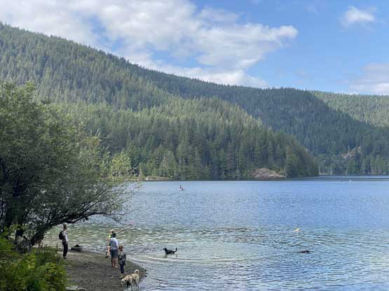
I checked the time and the goal now was to finish the hike as soon as possible so that I could drive back to White Rock for dinner. I pretty much retraced the exact route I took on the way in except for a short detour at the north shore of Buntzen Lake to check out the beach. The last few kilometers contouring around Buntzen Lake sure felt like a slog fest and my round trip time was just over 4 hours. I finished the hike at around 6 pm and I got back to White Rock an hour later in time for dinner.