Mount Davies
May 4, 2017
1248m
Hemlock Valley / Fraser Valley, BC
The Hemlock Valley ski resort in the Chehalis area of Fraser Valley is much less known considering its proximity to the Lower Mainland of B.C. and in fact, I rarely hear people talking about Hemlock Valley, whether with respect to skiing or from a peak-bagging perspective. I even thought it’s an abandoned resort but apparently not. Folks do a great job maintaining the road access (2WD gravel, albeit steep). Mt. Davies is the smallest among the few insignificant summits in Hamlock Valley but is the most difficult to reach as there’s a substantial elevation drop involved.
The information about Mt. Davies is next to nothing as a simple Google search could not return me any useful trip report but the map link on bivouac.com does show some logging roads leading possibly right to the summit. However, I had no idea how overgrown those roads are so a thick snowpack (like the one we’ve had this year) would be a huge asset. The nature of this peak is round and forested so there’s not much else to worry about. I picked Mt. Davies and Mt. Keenan in Hemlock Valley as the recent high temperature had created some serious wet snow slide potentials so to still make use of this Thursday’s weather I had to stick with the low grade forested terrain.

Mt. Davies and Mt. Keenan from Hemlock Valley. GPX DL
I really like to drive out and sleep in my truck because this way I could catch at least 2 more hours of sleep. The next morning I slept in till whenever I wanted and did not bother to start the ascent until 8:10 am. I managed to drive right to the resort at elevation of 1000+ meters so the day was already shortened significantly. The initial business was following one of the many runs to a low saddle somewhere along the broad, undulating north ridge of Mt. Keenan. I had drawn a GPS line on the maps so I knew where exactly to aim at. The whole process took little time as the elevation gain was just over 200 meters…
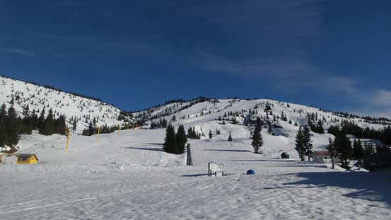
A view from the Hemlock Valley Resort parking lot.
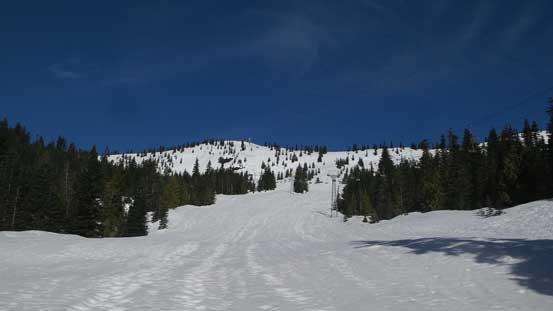
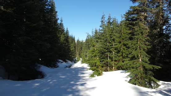
Plodding up the widest run.

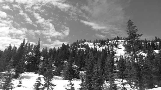
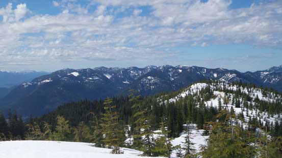
Halfway to the shoulder now. The view was already expansive.
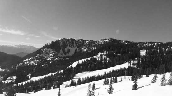
Looking back at the north face of Mt. Keenan.

Looking further south into the Fraser Valley
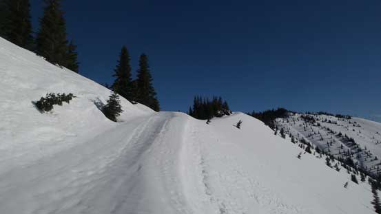
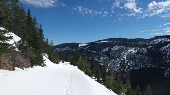
Joining a resort road near the shoulder.

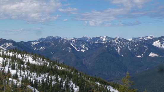
Looking into the “East Harrison” area. The Old Settler on the left skyline.
The next stage was not very inspiring knowing I’d have to lose all of the hard won elevation. I had to dip down to a broad forested pass just under 1000 m elevation which is actually lower than where I parked… The good thing, those previously spotted logging roads were wide and open. I took a direct line to short-cut a long switchback which proved to be a mistake. This dumped me onto some very steep terrain and the sloppy snow meant some very careful foot work had to be done. I got down nonetheless but I wouldn’t want to come back the same way. After a while I reached the low pass and then immediately started up the opposite side. Not wanting to skirt all the way around to the far north side I opted to take another short-cut which turned out to be a good call.

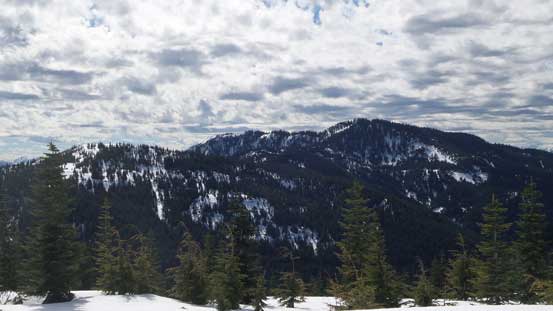
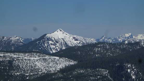
Mt. Davies in the foreground. I had to lose more than 200 m elevation.
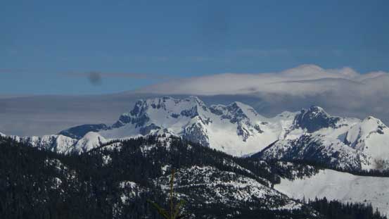
Grainger Peak is that striking one behind.
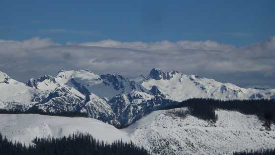
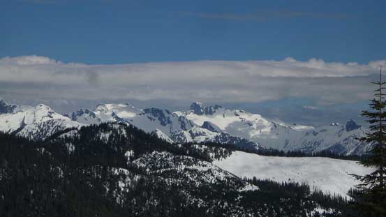
A look at Mt. Clarke massif with Recourse Peak to its right.
As much as the plod down to that low pass goes.
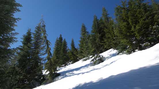
Taking a short-cut up the opposite side.
The summit area of Mt. Davies. I decided against further short-cutting.
Onto the upper road I had another chance of making a short cut straight towards the summit, but I couldn’t see the entire stretch of this route. The lower short-cut was pretty lucky to work out easily and I did not feel like testing my luck again, so would just following this road around to the south side. This might not be the fastest option but did give me some unique views from the far south corner. Once making sense I left the road and easily plodded to the broad, semi-forested summit where I took the first break of this day.

Joining the upper reach of a logging road which would bring me to the summit.

Looking down Chehalis River Valley into Fraser Valley

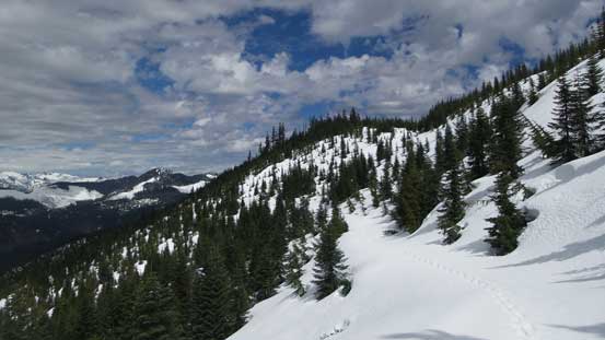
The very upper reach of this road crossing a few open areas.
Looking back at one of the openings.
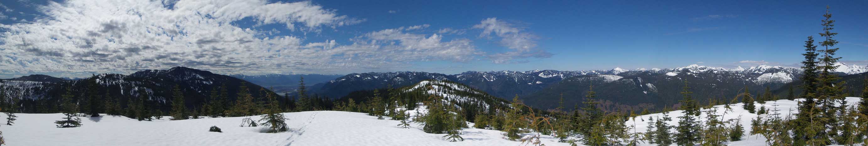
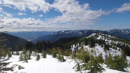
Summit Panorama from Mt. Davies. Click to view large size.
A look at Mt. Keenan – my next objective.
A sea of forested summits looking SW including Deroche Mountain
Rose Peak, Gregory Peak et al. by Norish Creek valley.
Statlu Peak looks pretty impressive.

Mt. Judge Howay with Mt. Kranrod to its left

Stonerabbit Peak, Mt. Ratney and Mt. Bardean in the Ratney Group
Another look at the remote Grainger Peak area

The forested Mt. Downing to the north.
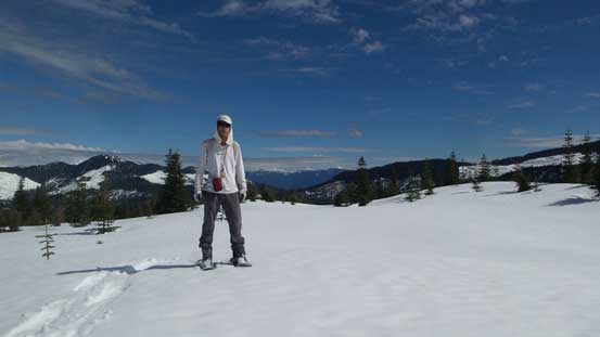
Me on the summit of Mt. Davies

Another picture of me on the summit of Mt. Davies
There’s some high clouds rolling in and given the forest for afternoon/evening thunderstorms I had to keep moving if I also wanted to bag Mt. Keenan. I spent just enough time to have some food/drink and also updated my Facebook status. On the way down I reversed my exact route and the steep short-cut was a little bit interesting to descent. I set off two Size 0.5-1 wet slides and the top layer was certainly going shitty. The plod up the other side of the low pass was mind-numbing, but didn’t seem to take too long.
Another look at Chehalis Valley and into Fraser Valley
Reascending the logging road.

Back to the shoulder now, looking at Cheam Range peaks.

Looking down into the resort with Mt. Klaudt behind
Back to the broad shoulder of that undulating N. Ridge of Mt. Keenan I had to make a decision. My motivation was very low but weather seemed to hold nicely and the most recent weather update did not suggest any form of precipitation in the next few hours, so I had to resist the urge of being lazy and push on.
