Royal Peak
August 16, 2020
2344m
Gold Bridge / Bralorne, BC
Royal Peak is rather a small summit in Bendor Range not far from the majestic Whitecap Mountain. This peak itself does not draw much attention from anyone outside the local areas but does offer some nice views as well as easy access. To do Royal Peak itself is a short day-hike through some open forest starting from the same trail-head as Whitecap Mountain. For Alex, Vlad and myself the objective was obviously just Royal Peak. Earlier in this trip we had ascended Whitecap Mountain, Star Mountain, Mt. McGillivray and Mt. Piebiter and this was towards the end of the trip.
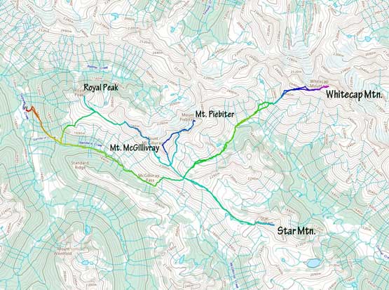
Whitecap Mountain et al. ascent routes. GPX DL
We positioned ourselves on the lower end of Mt. McGillivray’s SE Ridge after combing back from Mt. Piebiter. We had several options of traversing towards Royal Peak. It’s a fairly long ways over and the route information was non-existent beyond our own observations. We opted to stay as high as we could to avoid side-hilling on steep grass but in retrospect, staying lower on grass might actually be faster. Our first business was to find a tarn on the west side of Mt. McGillivray to fill up the water bottles. The tarn was in alpine zone, but was stagnant enough that we spent well over half an hour filtering the liquids. Then we resumed the traverse, ascending onto Mt. McGillivray’s NW Ridge and then over a couple subsidiary bumps. There was some nice views on the ridge but the terrain was generally not as “smooth” as we thought.

Heading for that tarn to load up water

Onto the NW Ridge of Mt. McGillivray, looking back at the peak
A cool glacial tarn in Piebiter Creek drainage
The West Ridge of Mt. Piebiter in front of Whitecap Mountain
After a while we came to some decision-making time. We spotted a wider and gentler grassy bench around the same elevation as Royal/McGillivray col and opted to descend a shitty scree chute to get down onto that bench. From there we traversed easy grass to the col and then onto the SE Ridge of Royal Peak. We ditched the backpacks and made a quick dash to the summit. The wind was stupidly strong and we felt being blown over on the ridge. The summit was calm on the other hand, so we took our time soaking in the experience.

Descended onto the grassy bench now

Vlad just above McGillivray/Royal col
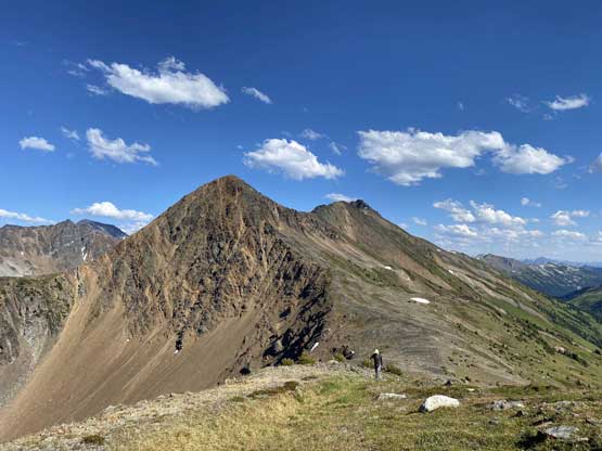
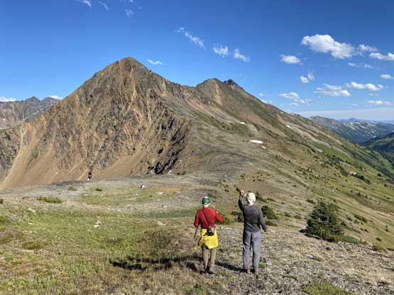
Vlad plodding up the SE Ridge of Royal Peak

Alex posing for a photo at the same position

A more zoomed shot of Vlad plodding up
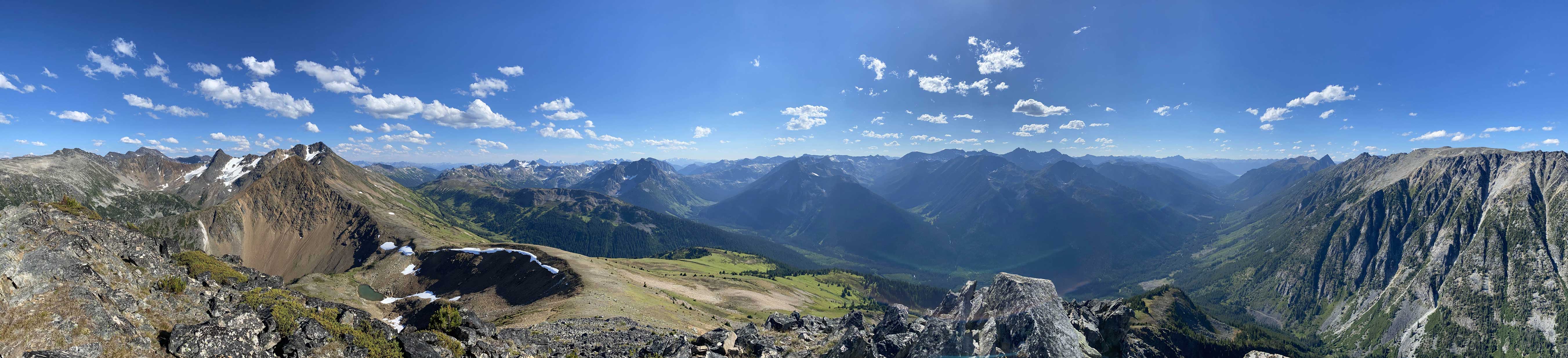
Partial Summit Panorama from Royal Peak. Click to view large size.
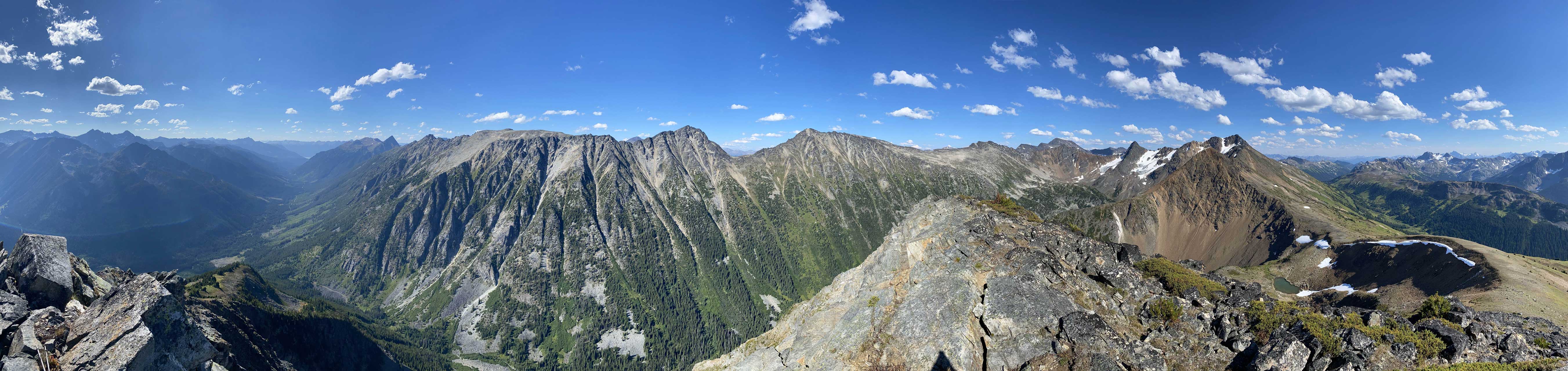
Partial Summit Panorama from Royal Peak. Click to view large size.

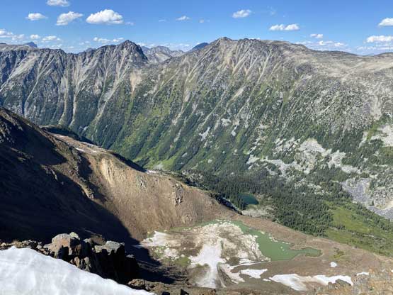
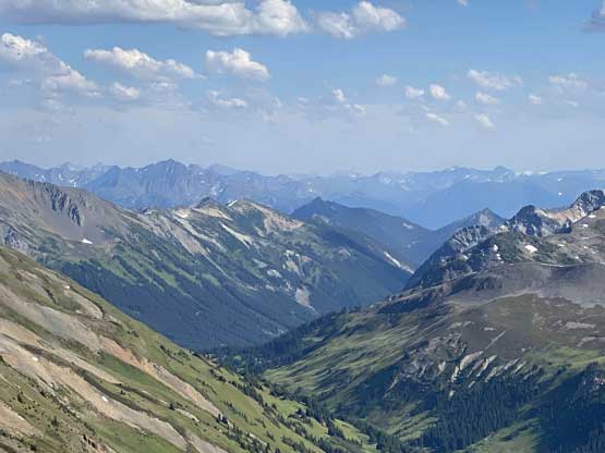
Looking down Cadwallader Creek valley towards Bralorne

Prospector Peaks in the foreground

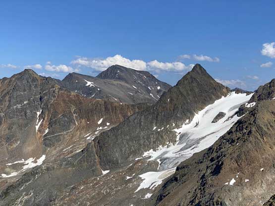
Mt. Piebiter looks very impressive from this angle

Whitecap Mountain pokes behind
The terrain south of McGillivray Pass

Vlad approaching the summit of Royal Peak
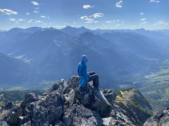
Me on the summit of Royal Peak soaking in the views
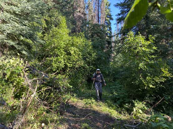
There were multiple options for the descent and we basically just picked a random one. From our backpacks we made a long and diagonal descent due NW towards a grassy knoll at around 2020 m elevation and from there we just descended the forest flanks on the NW side. We were expecting some bushwhacking but the forest was very open and the travel was very easy. Eventually we hit the horse trail and followed it back to the main McGillivray Pass trail, which was then easily followed back to the truck.

Time to head home…
Vlad and Alex discussing future trips
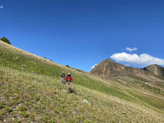
Traversing/descending the typical grassy slopes

Mt. Weinhold was actually my first summit in areas north of Pemberton
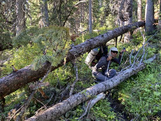
Dead-falls on the horse trail
Back to the main McGillivray Pass trail
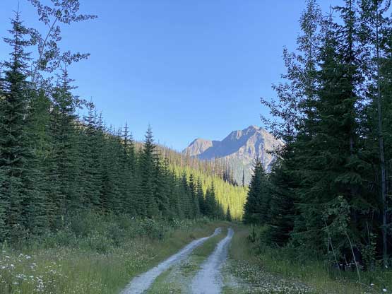
Crossing the logging road at the end of the hike.
The original plan was to find a campsite and drive home on the following day, but it was only 6 pm when we finished the hike. It took us 1 hour 20 minutes to descend from Royal Peak to the truck so the new plan was to at least drive back across the Hurley and camp. The driving was long and tiring and the Hurley was a slow show as expected. By the time we got back into the Pemberton Valley I decided to push all the way back home. I didn’t know how I managed to stay awake but in any case, we made back to Vancouver at around midnight.
