The Needles (South, Middle, North)
February 13, 2017
1258m
North Shore Mountains, BC
The Needles are a cluster of rugged, semi-forested peaks sandwiched between Lynn Creek to the west and Seymour River to the east. It’s actually the northwards extension of the long and undulating Lynn Ridge and bounded by Norvan Pass to the north which separates The Needles with Coliseum Mountain. The Needles has three distinct summits (South, Middle and North) with the Middle Needle being the highest. The North Needles is by far the toughest to reach while the South Needle has the most striking profile. Numerous trip reports can be found on Internet and it seems like winter is the best time when snow covers the thick bush, at least for someone like me with a ton of experience on steep snow but not so much “BC bushwhacking” under the belt.
Most folks prefer to traverse The Needles from north to south using Paton Lookout and Hydraulic Creek trails as starting/exiting points, with a bike approach up Seymour Pipeline Road. I’m not a biker by any mean so the most natural way for me is that long and undulating ridge traverse from Lynn Ridge way to the south. The plan was to do this route in and out. That significantly adds the elevation gain but more fun. Vlad was keen on this adventure so joined me at the last minute. We left the parking lot at 7 am and earlier in the day we had summitted the forested Lynn Peak. Now down towards Lynn/Needles saddle the real adventure had just begun.
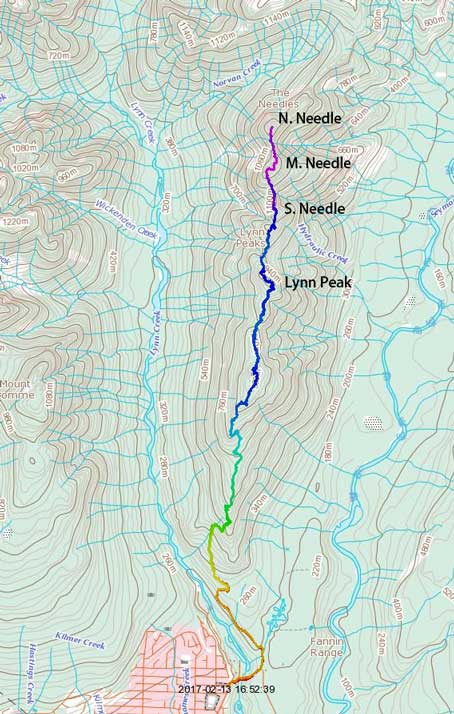
Lynn to Needles Traverse. GPX DL
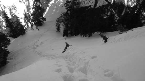
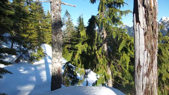
The previous snowshoe tracks had done a great job guiding us so far but sadly he/she decided to drop down the Hydraulic Creek trail to make a loop, leaving plenty of route-finding challenges for us from Lynn/Needles saddle onwards. We accepted it as it’s more fun to find our own route anyway. Finding the path of the least resistance wasn’t difficult but the easy stuffs didn’t last long. There seemed like an abrupt drop and we had to drop quite a bit of ways towards down-climber’s right side. Getting back to the ridge proper we had to cut a steep side-hilling traverse and that was a tad awkward on snowshoes, and then looking ahead the next bump would be the South Needle. The terrain never got too steep, but the ridge narrowed down dramatically towards the top and there were a couple tight spots proven to be quite strenuous on snowshoes, but generally speaking it’s a trouble-free plod to the summit.
Down to Lynn/Needles saddle, also the upper reach of Hydraulic Creek trail
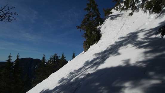
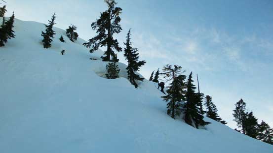
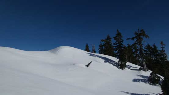
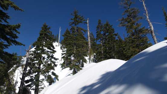
Going up the S. Ridge of South Needle, the terrain opens up towards the top.
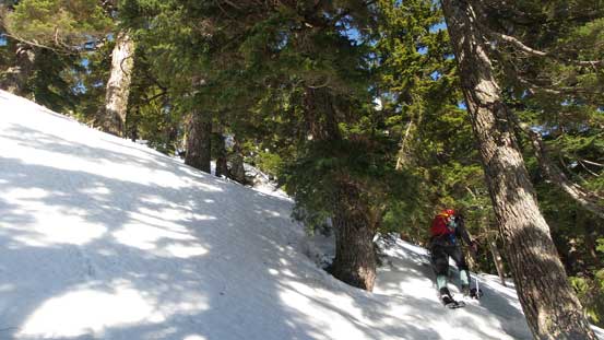
Vlad leading the way.
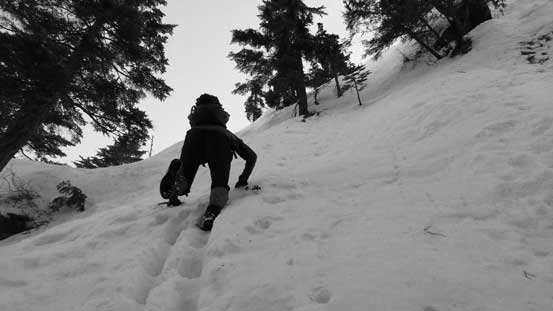
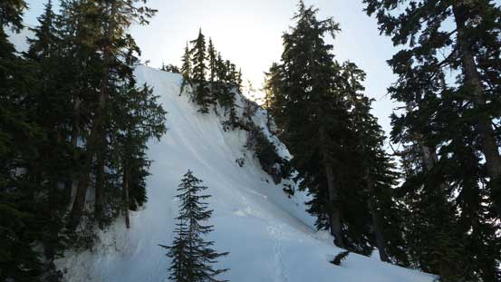
It’s getting steep…

This is a strenuous step on snowshoes. On the descent we just walked down.

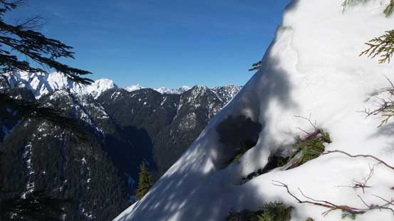
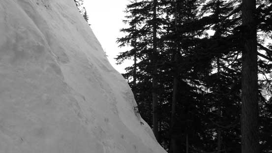
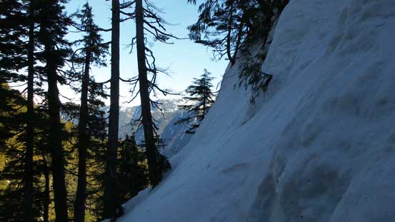
The west side was fairly exposed.
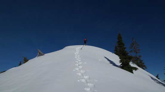
The last few steps to the summit of S. Needle

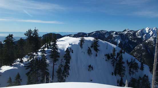
From South Needle, looking back at Lynn Ridge
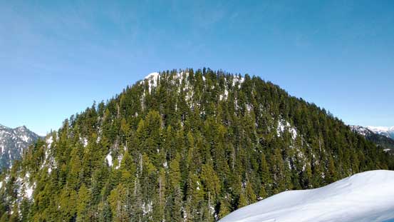
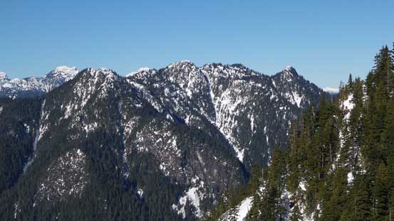
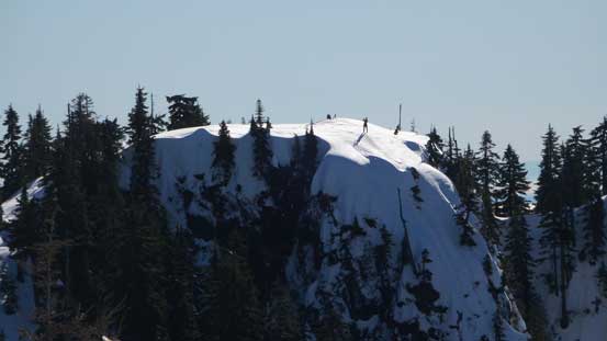
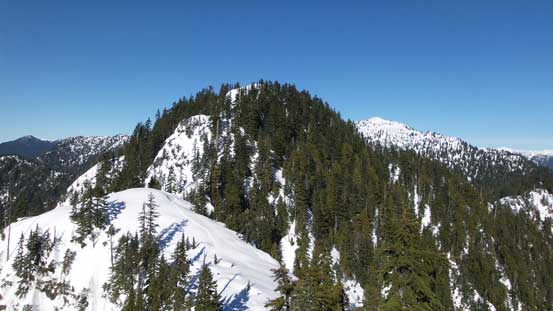
Ahead is Middle Needle.

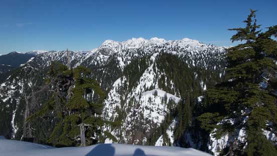
Crown Mountain/Spindle Peak massif
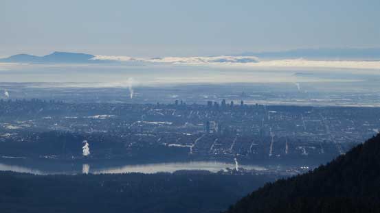
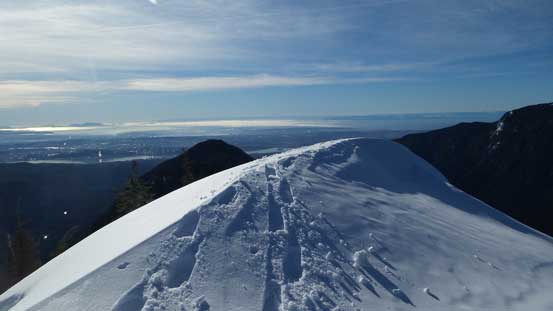
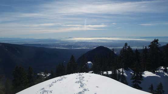
A zoomed-in view looking back towards the Greater Vancouver
Echo Peak/Mt. Perrault in the foreground
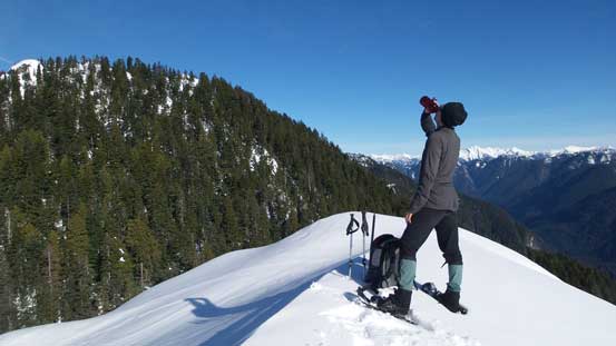
Vlad taking a break
Another shot from South Needle.
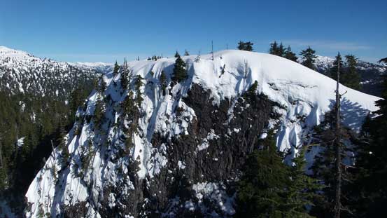
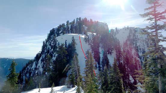
The north side of South Needle didn’t appear very friendly as all we could see was some very steep drop with no obvious route. Looking closely I did manage to spot a line, but to make that happen we had to swap the snowshoes for ice axe. The snow was soft enough that crampons weren’t required on this day. Facing into the slopes I carefully led a line initially towards down-climber’s left and then cutting back to the right lower down. The grade stayed steep (40-45 degrees) for the upper route but mellowed out upon arriving at a bench. We then traversed across the bench and found a weakness to get down into South/Middle saddle and the last bit was even steeper, albeit with less exposure. Going up Middle Needle from this saddle was a hack of a grunt. The grade was steep enough that the snowshoes stayed in our pack, and yet the snow was soft enough that we had to post-hole.
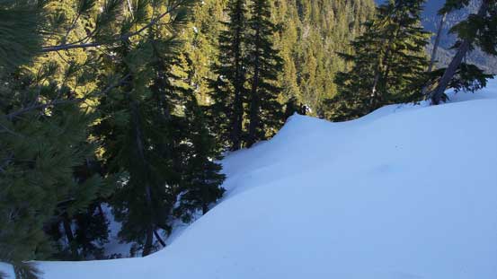
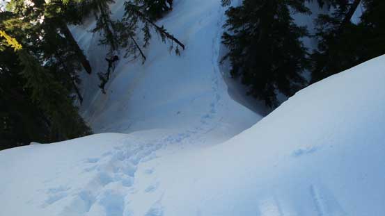
Searching a way down the north side of S. Needle
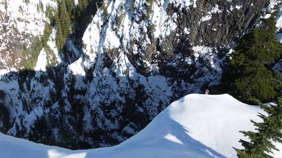
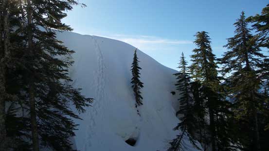
Partway down, looking back
Vlad carefully making his way down the last bits
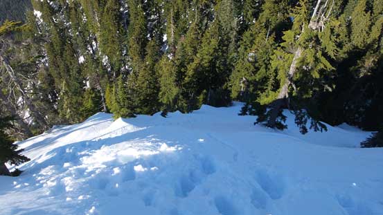
This side view correctly shows the slope angle of this last section.
Another side view. This is looking east.

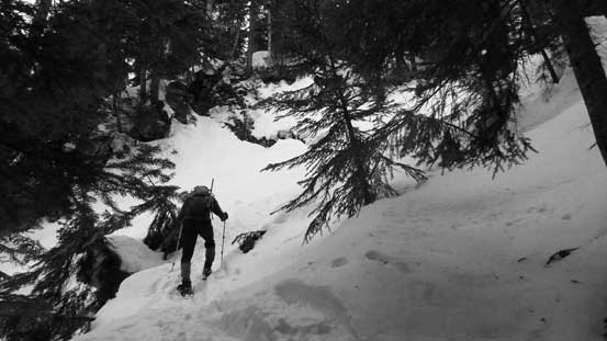
Grunting up the south face of Middle Needle

This is the typical terrain going up Middle Needle.
I soon got a good rhythm going and did most of the trail-breaking work up the forested south face of Middle Needle. There’s nothing fancier than simple step-kicking but the grade was relentless. It took us a whole hour from South to Middle Needle which was a tad slower than anticipated. The summit views were good though as it’s fairly free of vegetation. The true summit was actually the next bump ahead and required a short traverse. It was here that Vlad felt he might not be able to make the North Needle but I was determined to make the traverse, so continued onwards solo. To speed things up I ditched the entire backpack carrying only an ice axe and a pole.
The grade finally eased off and we were minutes away from Middle Needle
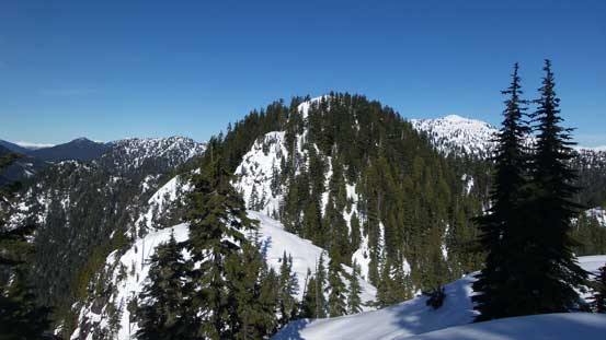
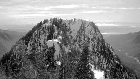
North Needle in foreground which looks like still a long ways off…
This is the true summit of Middle Needle, hence the highest point of Needles Traverse
It’s steep on the faces…
Looking back at the Lower Mainland. Lynn Peak is that dark triangular face.
The false summit of Middle Needle
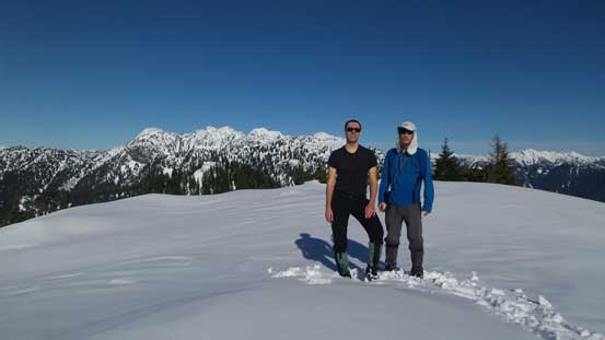
Vlad and myself on the summit of Middle Needle

Another picture of Vlad and myself
The descent towards Middle/North saddle started off easily but just when I thought I might actually make there much faster than expected a very steep drop appeared in front. Searching around there’s no easy route down so I had to commit to that down-climb. The top part was very steep (50+ degrees) but the snow was in some perfect conditions for step-kicking, so didn’t take me long to complete this section. More flats and traverses afterwards I arrived at the low saddle, but sure enough, there’s another short, but very steep drop hidden from view. I immediately recognized this step from others’ trip reports and they sure didn’t exaggerate the steepness. After this bit of excitement the rest of the plod up North Needle was a cake walk by comparison, but still dragged on for quite a while.
Going towards North Needle on my own now.

The traverse starts off fairly easily
This is the first steep pitch. 50+ degrees at the top but the snow condition was perfect
Another picture looking back at the first steep down-climb
Time to go upwards again..
But here’s another steep down-climb. It’s much shorter though.
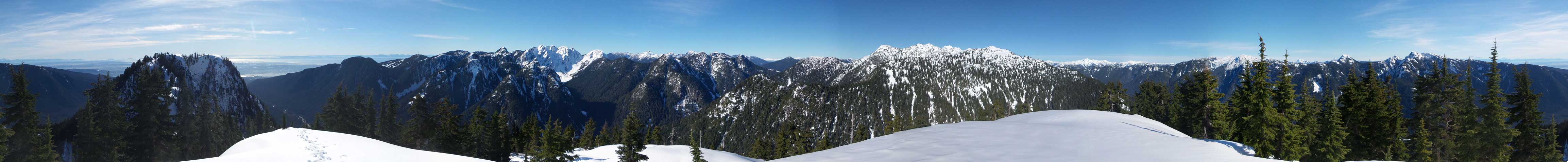
Summit Panorama from North Needle. Click to view large size.
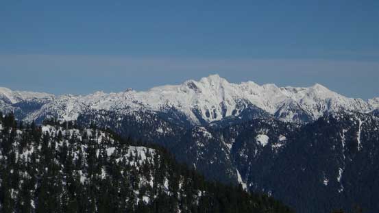
Further north along the ridge are Coliseum, Burwell and eventually, Cathedral Mtn.

Echo/Perrault in foreground
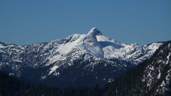
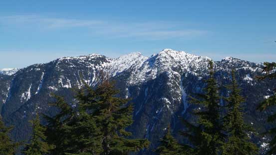
Crown Mountain
East Lion in front of West Lion
The snowy S. Face of Meslilloet Mountain. I ascended from the north side last year.
Mt. Bonnycastle which I traversed last year in fall
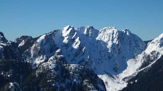
The multiple summits on Mt. Bishop massif
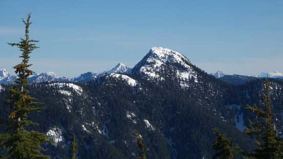
This is Mt. Elsay
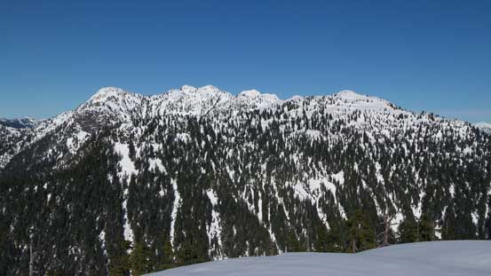
A zoomed-in view looking back at Middle Needle
A wider shot of looking back at Middle Needle
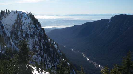
The Lynn Creek valley
I didn’t linger any longer than necessary for obvious reasons and after taking the obligatory pictures I immediately turned around. I more-or-less ran down the south ridge of North Needle and then up-climbed those two steep steps for as fast as I could, and then I was back at Middle Needle. Vlad had already left so I didn’t bother to stay any longer than a quick drink of water. Plunging down the south face of Middle Needle was fast, but not very pleasant given all kinds of post-holing I had to deal with. It felt like being drunk but oh well. Now going up the north face of South Needle I again, made some quick work and eventually at a couple hundred feet down the south side of South Needle I managed to catch up Vlad who’d been patiently waiting.
Climbing back up the lower steep pitch

Ahead is the upper steep pitch

A gorgeous afternoon nonetheless
Climbing back up the upper steep pitch
A review shot of North Needle

Mt. Baker on the horizon, from Middle Needle
Climbing back up the N. Face of S. Needle

On top of South Needle now.
A short food/water break was soon followed and then the ice axe was swapped for treking poles. We continued boot-packing/post-holing on top of our own snowshoe tracks until that steep traverse was over. That place marked the point where all the steeps were finally behind and looking ahead a long journey of plod began. We strapped the snowshoes on for again, more flotation and that lasted until the lookout where we were joined by hordes of hikers. This undulating ridge traverse was very tedious and tiring but at least it’s all behind now. The condition on this lower Lynn Ridge trail was perfect for boot skiing and we got down to elevation of 700 in no time. And then it’s a mix of snow, ice, dirt and rocks. The rest of this trailed descent was hard on the knees and I did not enjoy it, and once back to the Upper Lynn loop we still had fair a bit of walk to get back. That part near the end was just as icy as in the morning, but now it’s going downhill and I had to say that boot skating was pretty fun.

Snowshoeing down slushy snow wasn’t very fun on the steeps
One of the many, many uphill slogs along the Lynn Ridge traverse

Back to the south side of Lynn Peak now. This is looking at Mt. Seymour
Lots of forested view from here onwards
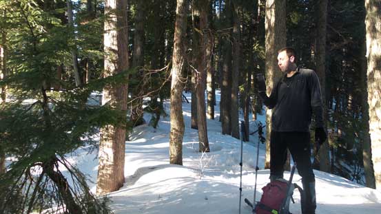
Taking another break. We were running low on water now.

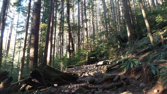
The typical descent down Lynn Ridge Trail

The west coast canopy
Onto dry ground

Down, down, down…
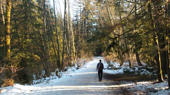
Back to the road stretch. Almost done.
Back to the parking lot our round trip time was just under 10 hours. Our pace was fast and furious for most of the day and I have to say this was a wee bit more involved than I originally expected. That’s perfectly fine though as the drive back home was much shorter than usual. Cutting right into the slow traffics on Highway 1 felt very nice as I knew all that long weekend gong show was behind, stuck somewhere in Whistler, Squamish or West Vancouver. I only had to deal with about 20 minutes of slow going things and then I got onto the bridge.
