“Moomin Peak”
October 26, 2026
2613m
Pemberton / Duffey Lake Road, BC
“Moomin Peak” is the unofficial name of a tall peak on the divide north of Gott Peak. The access is from Blowdown Creek FSR and the ascent is “easy scrambling” with no technical difficulty. There weren’t a ton of trip reports out there but most had opted for a long and contrived traverse from Gott Peak over several intermediate bumps but it can also be done via a direct thrash from the FSR. The latter would require some notable amount of bushwhacking. I always thought I would end up doing the direct thrash as I had already done Gott Peak, but the ridge traverse made sense in the “shoulder season” as bushwhacking with 10 cm of fresh snow would suck.
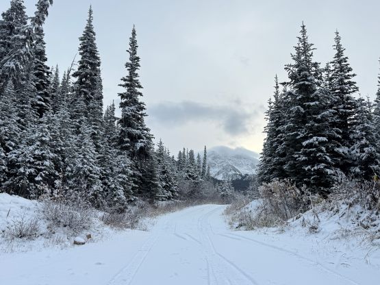
I was originally looking to get out on Sunday but the weather forecast changed, and Monday would be the only window to potentially have some sunny stretches. I eventually decided to move all of Monday’s work into Sunday in order to take advantage of this mediocre window. There would be no “sunny” day in the foreseeable otherwise. Caro was also keen to get out and not to my surprised she was able to convince Jocelyn and Rosie to come along. I had never met any of them so this would be a fun outing. I was the one suggesting “Moomin Peak” as the Duffey had the best weather, and this was among the few that I hadn’t done but could be done reasonably as a day-trip in the shoulder season conditions. Caro volunteered to drive to give my vehicles a bit of much needed break, and the plan was to leave Vancouver at 4:30 am. The drive was quite long that by the time we parked at Blowdown Pass TH it was already 8:30 am. There was about 5 cm of fresh snow on much of the FSR but that imposed no problem to the Tacoma with all terrain tires.
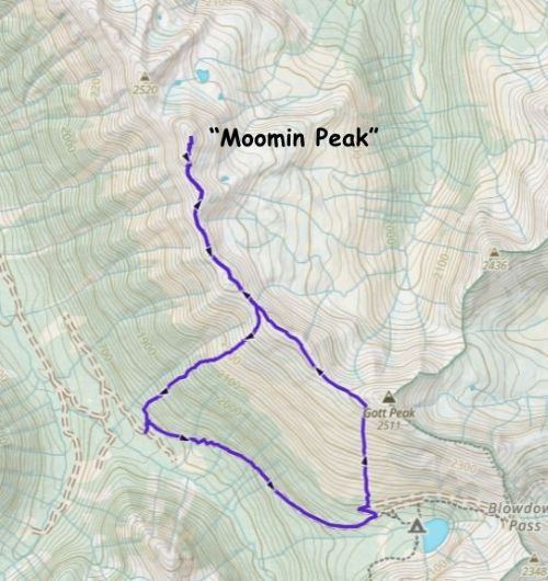
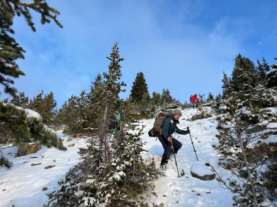
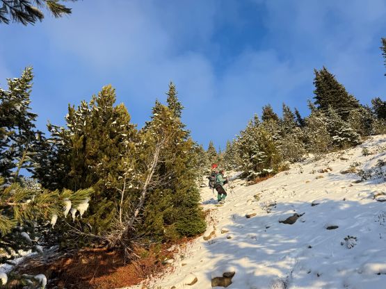
The direct route looked thick with lots of fresh snow on the bushes so we made the final decision to take the Gott-Moomin Traverse route. We also decided to carry the snowshoes but those weren’t needed on this day. There were pockets of deep post-holing but nothing was sustained. I opted to bring my winter parka and wear the La Sportiva G5s since I had no idea how long this outing would take, so better to have guaranteed warmth. I decided to follow from behind for the initial few kilometers of plodding up the deactivated FSR since this was my first time joining Caro’s trip and I had no idea about the actual pace (versus what I’d been told by others). It turned out that the pace was actually quite reasonable so by the time we left the road I went ahead to lead in front. There was no bushwhacking to speak of but the grassy slopes were slippery. Rosie and Jocelyn opted to wear microspikes. My plan was to ascend to the upper west ridge of Gott Peak bypassing the actual summit and judging by the GPX track I think I did a good job picking a straight-the-hell-up line. The going was straightforward with minimal boulder hopping. Two of us hadn’t done Gott Peak but I assured that we could tag it on the way back, time/energy permitting.
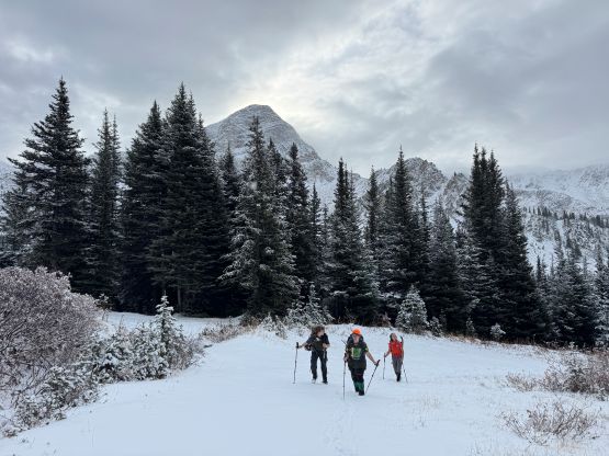
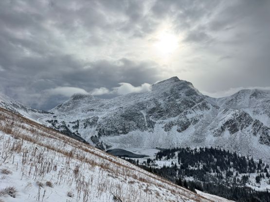
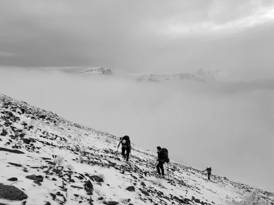
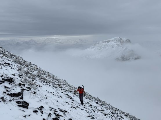
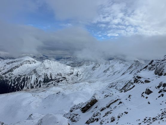
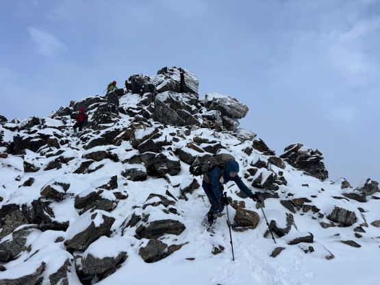
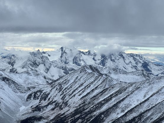
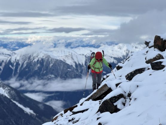
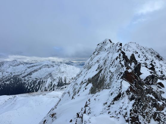
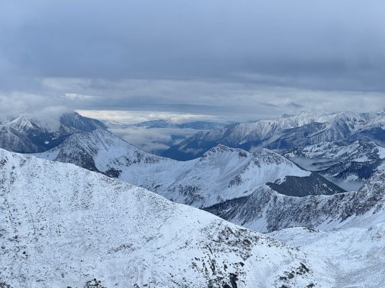
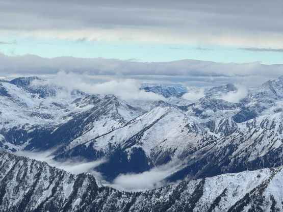
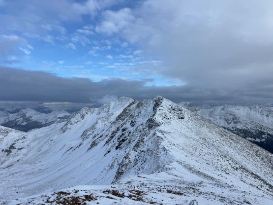
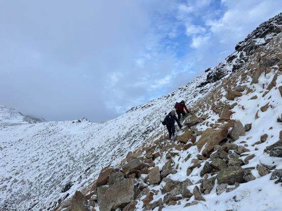
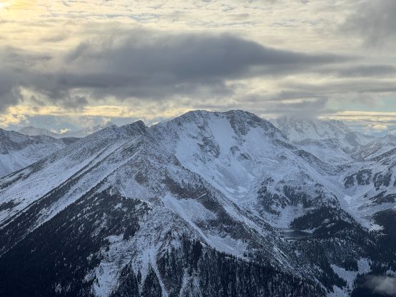
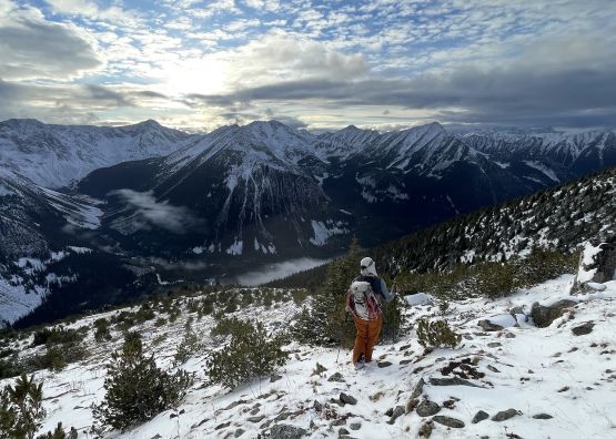
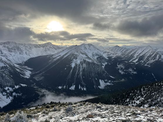
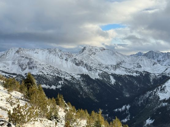
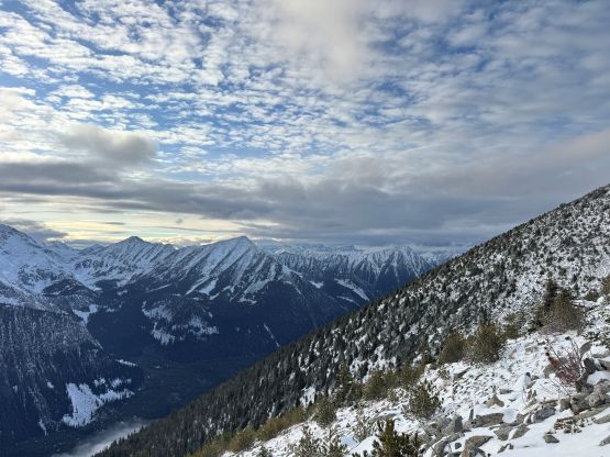
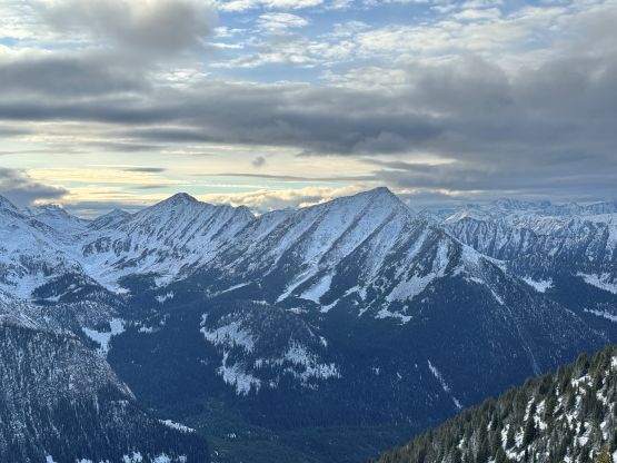
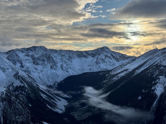
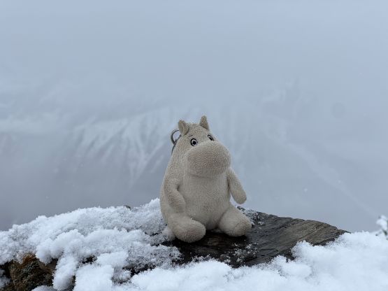
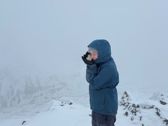
The weather was pretty much as expected. There were sunnier stretches but we also got hit by several snow squalls. At least 50% of the ridge traverse was done in the clouds but once the clouds lifted the views were actually quite impressive. The traverse was demoralizing on the maps so I tried not to look at our progress, but to be honest we made much quicker progress than anticipated. The first half of the ridge was mostly on easy terrain but then we started to encounter notable up-and-downs, deeper pockets of snow and sections of scrambling on boulders. I eventually had to put the gaitors on and took the winter gloves out as I had to constantly put my hands down on the rocks. The closer to the actual summit the more involved the terrain was. For the actual ascent on the south ridge we had to deal with some minor 3rd class scrambling but there wasn’t a show stopper. Eventually with perseverance we all made the summit. The weather was a complete white-out so we stayed up there for at least half an hour and did get a little bit of views.
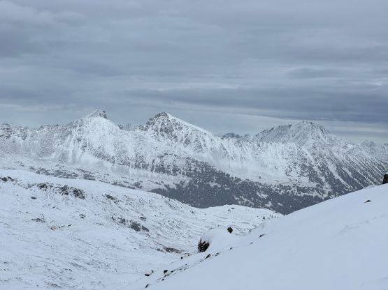
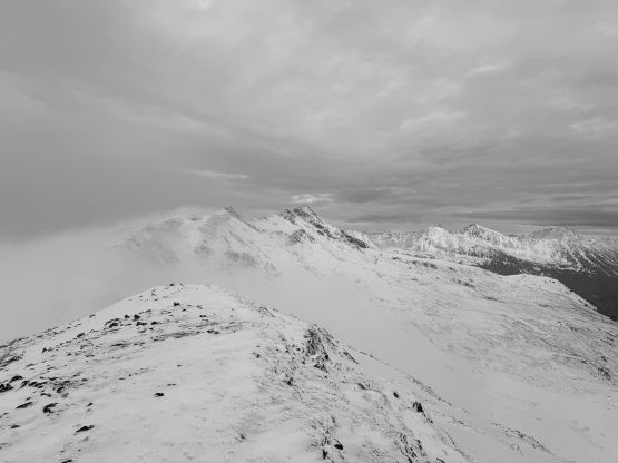
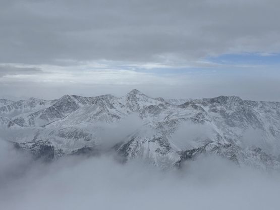
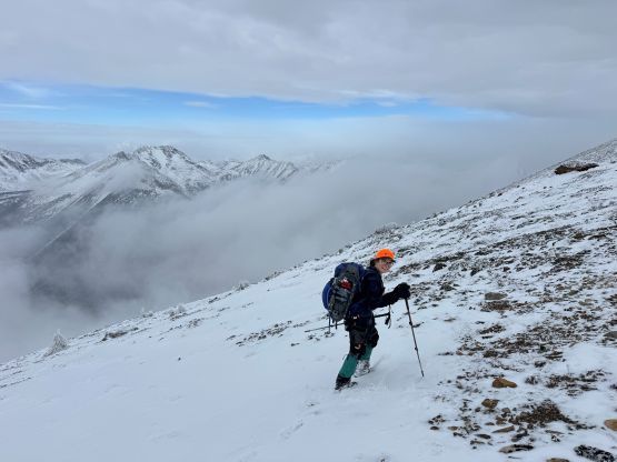
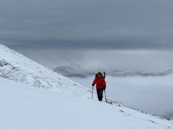
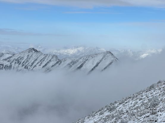
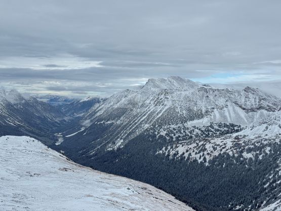
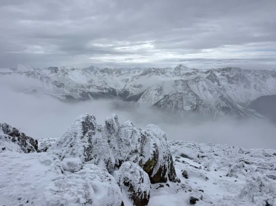
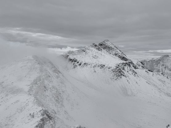
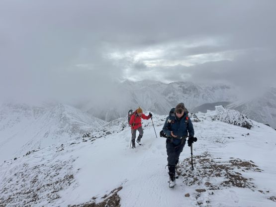
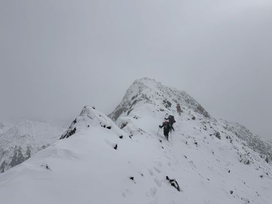
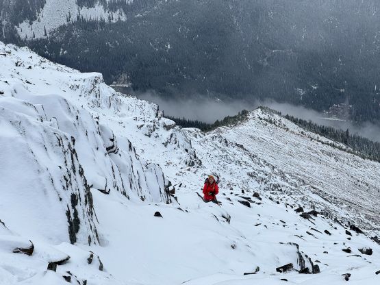
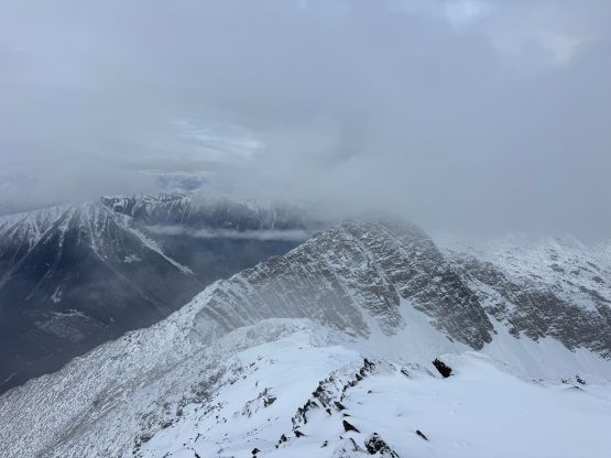
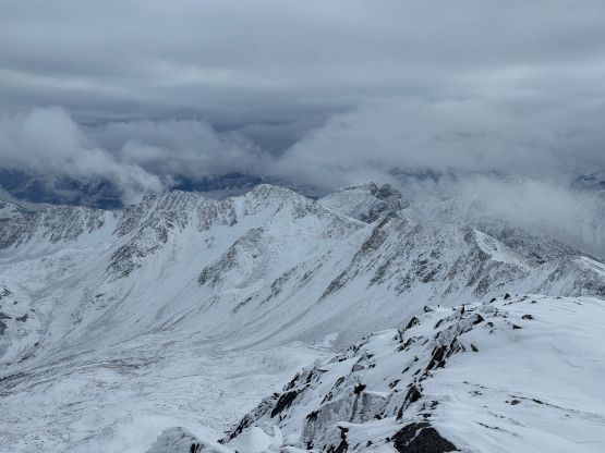
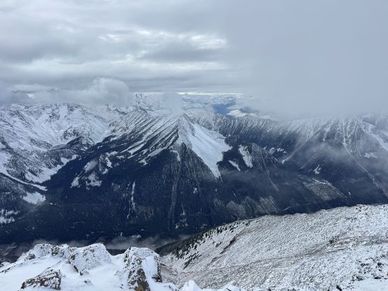
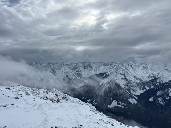
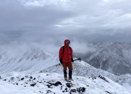
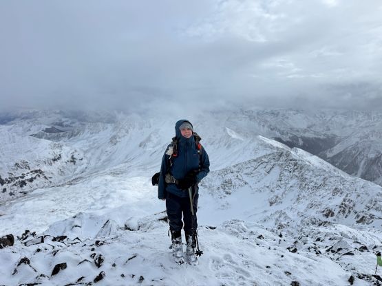
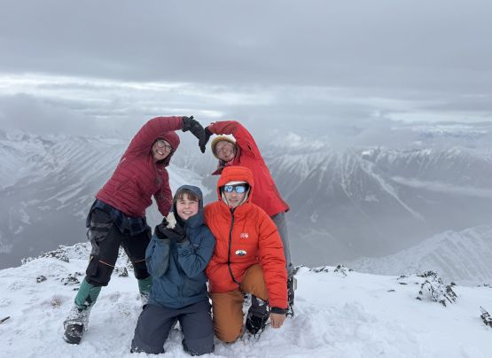
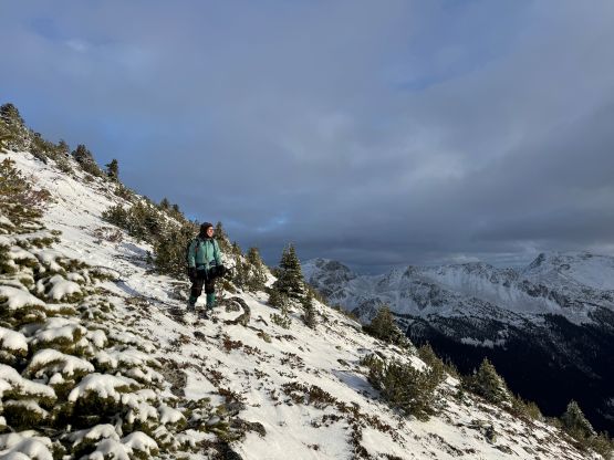
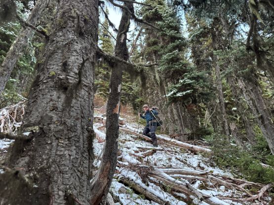
Eventually it’s time to start descending, and not to my surprise the moment we started to go down the weather improved. We gingerly worked our way back along our own tracks (which was definitely much easier than without the tracks) and then discussed our options. I proposed that Rosie and I could go all the way back to Gott Peak to get that peak tagged but eventually Rosie decided that she wasn’t too keen on the added distance. Instead, I started to lead us down the direct route. This was not the same route that Alan Blair’s group took back in 2020, but rather a different rib that could lead straight back to the parking lot. I knew the bottom would suck but I was hoping that at least 80% of the route would be “reasonable”. The upper route was mostly snow covered rocks and the forest was insanely steep and slippery. It was only the final 100 m elevation loss where we encountered a ton of pick-up sticks. Checking the GPS I almost overshot the parking lot so Rosie and I went for an annoying stretch of horizontal traverse to correct the error. Caro and Jocelyn simply thrashed down to the FSR and then walked back up to the parking lot. I still think this direct route saved time but it probably only makes sense as a descent option and better, in dry conditions. Our round trip time was 9 hours so it was nowhere as slow as I was expecting, but the drive back home was long and exhausting.