Eagle Mountain
May 31, 2021
1050m
Coquitlam, BC
Eagle Mountain locates on the southern end of a broad wooded plateau called the “Eagle Ridge” that parallels Buntzen Lake on the east side of the lake. This is rather just a pimple with hardly any notable prominence on the ridge but is officially named. There are a maze of trails that run across the southern flanks but no trail leads the final 100 m gain to the summit. The summit itself is completely forested with no view whatsoever and that explains why nobody built a trail to the very top.
Needless to say tagging the summit of Eagle Mountain falls into that category of dumpster-diving. The majority of peak-baggers chose to link this summit with Tangled Summit, “Mt. Beautiful” and “Dilly Dally Peak” further to the north making a complete traverse of Eagle Ridge, but such requires a decently long outing. I also planned to hit them all in one loop but hiking Eagle Mountain itself as a before-work exercise was also appealing. The drive to the trail-head is only 45 minutes from my home in White Rock so I didn’t really need to bag them all in one batch. Kat had been talking to finally hike a peak above 1000 m elevation and I figured this could be a good introductory.
To plan enough of time contingency we drove out of White Rock at 6:30 am and made to Buntzen Lake an hour later. There were signs saying the park would not open until 8 am but I decided to drive in nonetheless and sure enough, a park ranger followed and kicked us out. The parking situation outside the gate was also a disaster and we ended up killing half an hour parking outside a grocery store. That spot had “permit parking only” signs but the store would not open until 9 am so nobody was there to bother us. By 8:05 am I started the engine again and this time we had no issue parking at the proper Buntzen Lake parking lot.

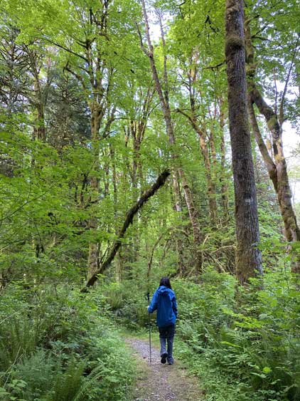
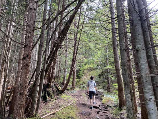
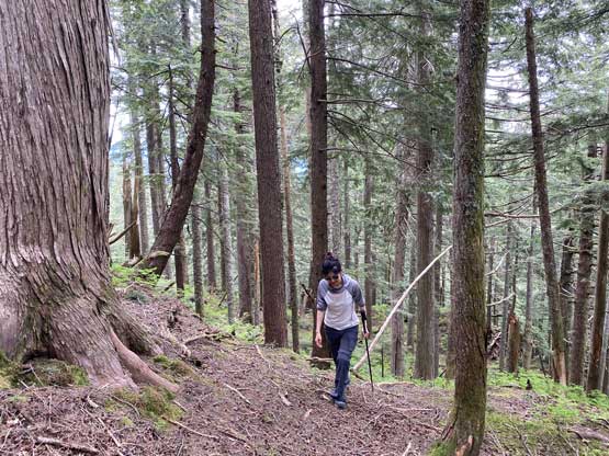
The trails in this area are all well-marked on Gaia GPS map so all we needed was to pick one and follow. We did make a mistake somewhere about half an hour into the trip but I soon realized the mistake. The grunt to “Polytrichum Lookout” was a steep and relentless one but the views were better than I thought.
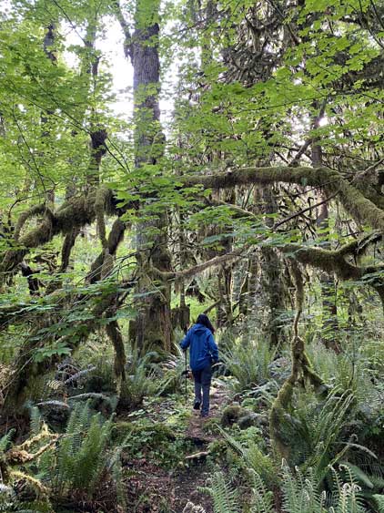


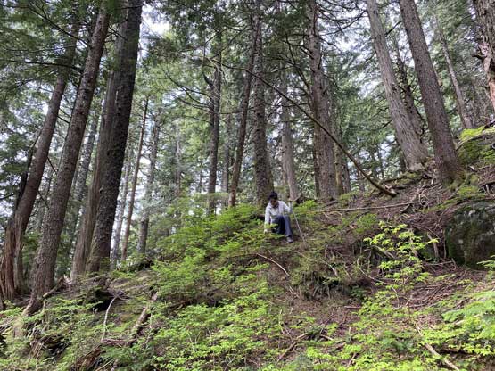
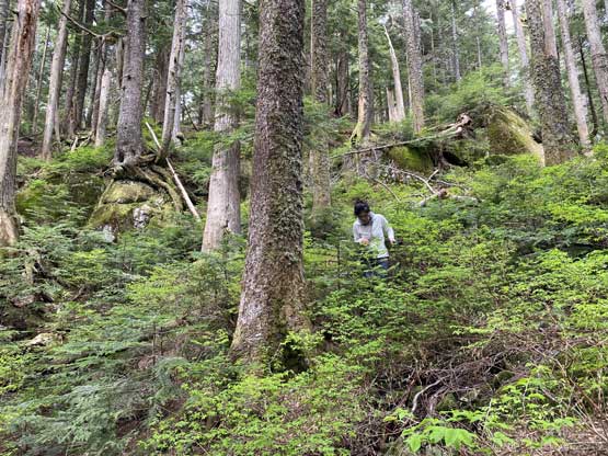
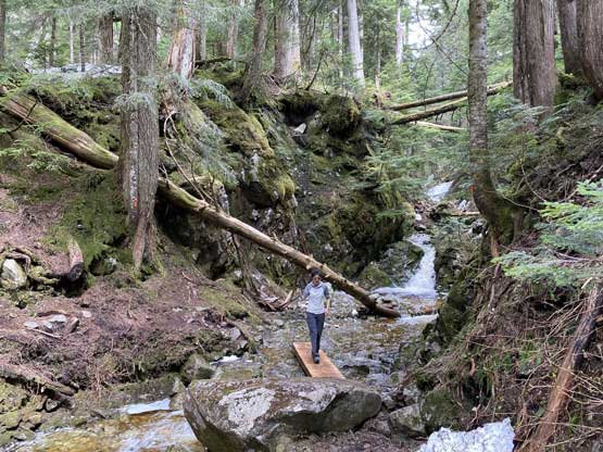
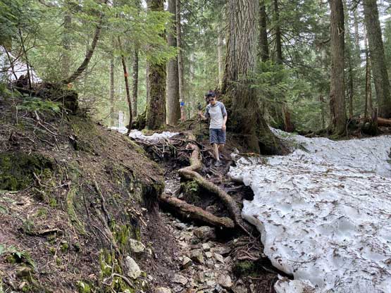
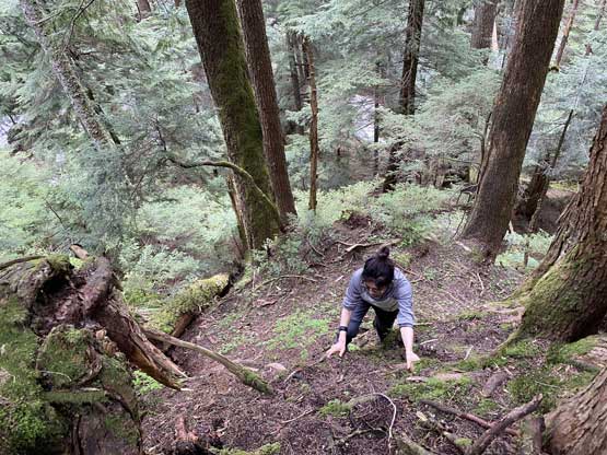
After the lookout we entered the steepest zone of this hike but by 800 m elevation the grade petered out. We then had a long rising traverse due north to the base of Eagle Mountain’s summit slopes. There were still patches of snow around the crossing of Buntzen Creek. The bushwhack to the summit via SE Slopes was mostly in old growth forest, so not bad at all. I had some concerns about this bushwhack but it turned out to be a great introductory for Kat to gain experience in this somewhat unpleasant but unavoidable part of peak-bagging.


There were a few lookouts on the south slopes of Eagle Mountain according to my maps but I couldn’t summon enough of motivation to check them out because all seemed to require some detouring. At this point I wanted to get home as early as possible so that I could take a nap before the afternoon work, so we took the shortest way down (which was to descent the exact same line). Once rejoining the trail all we needed was to turn into a robotic mode and put one foot in front of another. It sure felt like a slog to plod out, but wasn’t too bad. Our round trip time was under 5.5 hours and in the end, I did manage to get home an hour before work time.