Pasulko Peak
October 23, 2021
2013m
Lytton, BC
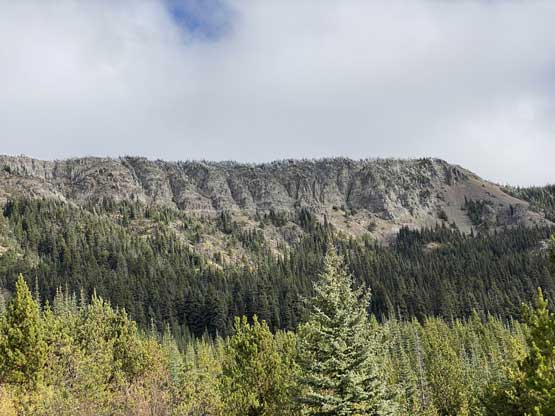
“Pasulko Peak” is the unofficial name of a broad summit in Clear Range due to the proximity to Pasulko Lake. This summit is largely forested but boasts over 500 m prominence making it one of the more prominent peaks in the area. The south side has some open slopes and cliffs that offer some nice views. There weren’t much information about the ascent of this peak but from the satellite images I could see logging roads going to within 2 km distance and 300 m elevation gain from the summit. I had little clue about the status of these roads, but they looked open enough to worth a try.
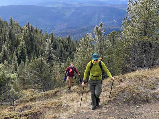
Alex, Ben and I spontaneously decided to explore “Pasulko Peak” after making a loop traverse of “Mull Peak” and Murray Peak in the immediate vicinity. The other two peaks had taken us much shorter than expected so we had the whole afternoon ahead. Alex had downloaded the satellite images of the area so he did the navigation job. We firstly turned onto the FSR system that eventually would lead us towards Botanie Lake but we wouldn’t go that far. Instead, we soon turned onto a spur road that was not shown on my Gaia’s map. This spur road actually felt like a mainline that was well graded. A few switchbacks later we were at the base of “Pasulko Peak” and parked at a convenient spot. At this point I asked Alex if this road would go further towards Arther Seat Mountain and the answer was yes, so we increased our ambition to grab that as well as the last objective in this day.

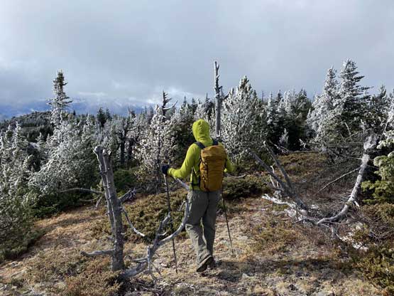
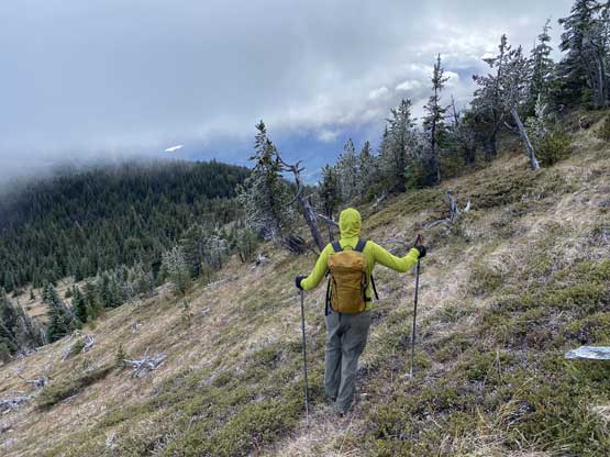
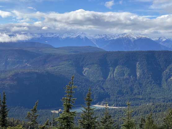
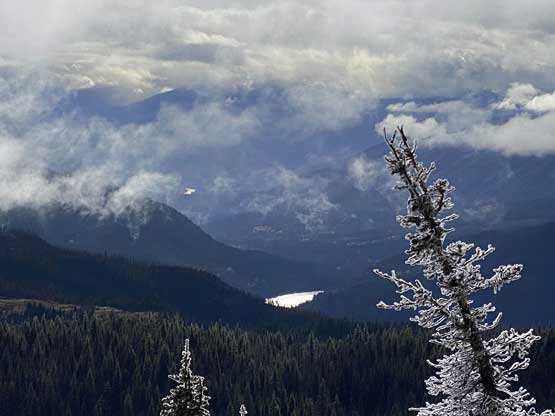
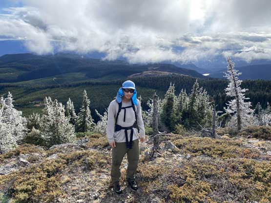
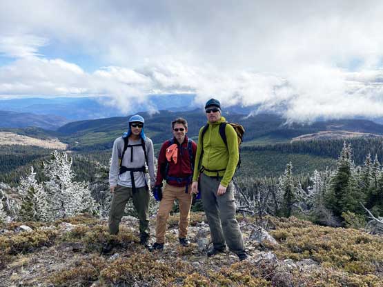
The first 10 minutes from the truck was a little bit bushy but soon the forest opened up. The bushes were wet from the recent rain and the frosts were thawing. After about 150 m elevation gain we reached the broad south ridge and traversed over a few smaller bumps. The ascent onto the summit plateau was surprisingly scenic with some open views and cool frost scenery. The traverse to the true summit was less scenic and seemed to drag on for a long while. The true summit ironically did not offer as nice views as lower down on the southern slopes.


Without doing much lingering we soon started the retreat. I was tired so Alex did the route-finding and we mostly stayed on the exact route we took on the ascent, with small variations here and there. And once back to the truck I immediately started the engine. Arthur Seat Mountain would be at least half an hour’s drive away. I had noticed this cool (official) name on the map for a while and since we were already in the area we had to give it a try.