Linus Mountain
July 12, 2017
2578m
Downton Creek / Duffey Lake Road, BC
“Linus Mountain” is just another small peak in the Downton Creek drainage on the interior side of Coast Mountains. The name is obtained from the 1991 Canadian Alpine Journal (CAJ) hence as legitimate as it gets, even though it’s not officially accepted yet. There are lots of easy summits in this Downton Creek drainage all easily accessible for those with a reliable 4×4 vehicle. The only downside is the long drive (more than 4 hours from Vancouver). But on the other hand the long drive does its job keeping the hordes at bay so I won’t complain anything. Al (Spectrum) and myself did it together with the nearby Statimcets Peak to make a scramble combo day-trip.
Statimcets Peak and Linus Mountain scramble loop. GPX DL
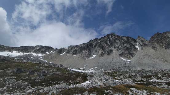
From Statimcets Peak the route follows the connecting ridge more-or-less and there’s actually not much worth documenting. We never detoured too far from the ridge. There’s one subsidiary summit to ascent up and over and near the top we opted to bypass on the south side. After that the ridge drops down towards Statimcets/Linus col and the geology transitions from the loose shale to the more solid granite boulders.
Descending the typical loose ground from Statimcets Peak

Gorgeous view accompanying the traverse
Looking back at the summit of Statimcets Peak
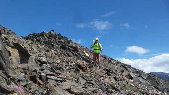
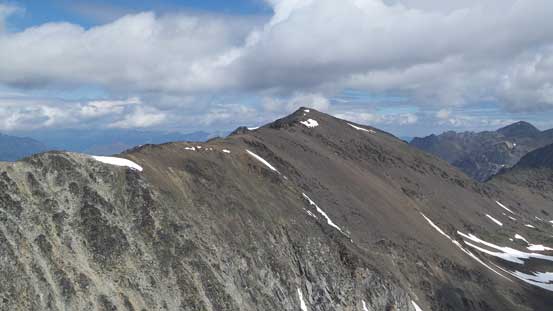
Looking ahead. Linus Mountain in the foreground
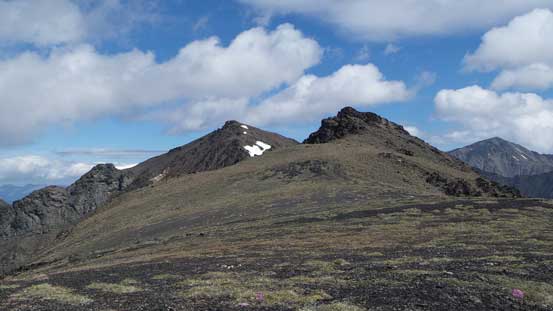
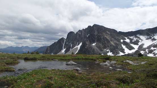
This stretch was a gentle plod on a plateau. Statimcets Peak behind

Descending to Linus/Statimcets col now
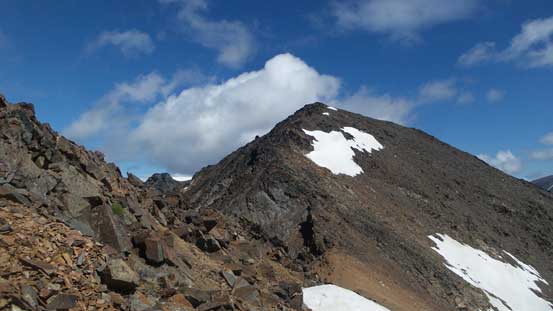
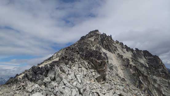
And then up the NW Ridge of Linus Mountain we went. The scrambling was mostly Class 2 although by sticking close to the ridge crest we had some fun Class 3 sections. The boulders were quite loose at places but overall the quality was acceptable. Eventually we still had to detour a bit to the climber’s right side but never far from the crest. Wherever possible we just attacked the ridge head-on for more solid rocks until the summit.

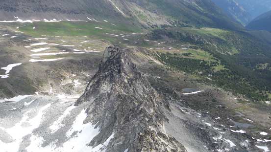
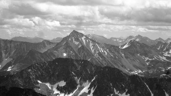
The impressive Linus Mountain

Looking down into the bowl below. Faulty Tower is also visible
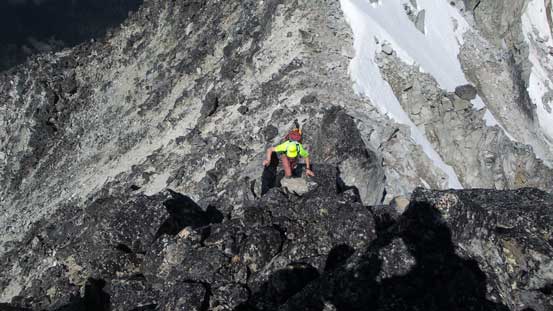
The typical scrambling on the NW Ridge
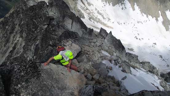
Negotiating another tricky step

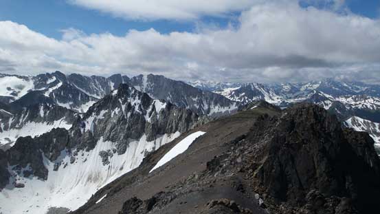
Summit Panorama from Linus Mountain. Click to view large size.

Al approaching the summit
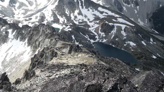
Looking down the south ridge. The tarn on right sees very few visitors
Faulty Tower
Statimcets Peak
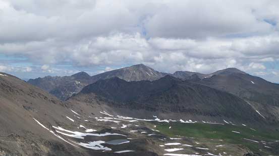
Looking at Mt. Seton massif
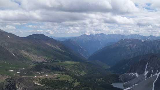
Looking back down through Downton Creek. Mt. Brew on the skyline

Lost Peak and Found Peak surely looks inviting
This is Mt. Melvin
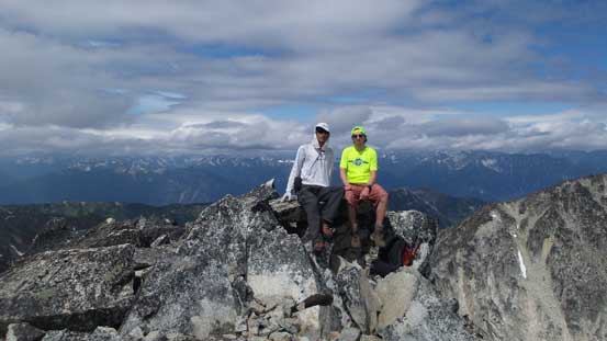
Al and myself on the summit of Linus Mountain
The summit stay was not very long as we still had a long drive back home awaits. The idea was to make a loop by dropping down the south ridge. After a while I spotted a possible short-cut descent down to the basin and then went for it. The loose scree made for some fun surfing and then the snow in the lower bowl also helped speeding up the process. In short time we were back to the treeline and then bushwhacked down to Holy Lake. This stretch was not very enjoyable but we did manage to avoid the worst bushwhacking. Then picking up the trail the rest of the descent was uneventful. The GPS came handy again to make sure we didn’t take any wrong side branch.
Partway down the south ridge, looking back
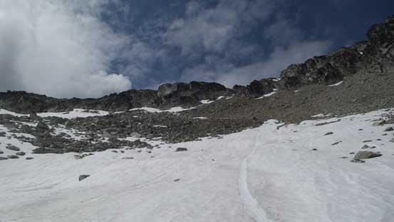
This is the descent route we bailed down.
Looking back at Linus Mountain

Faulty Tower again
Soprano Peak behind
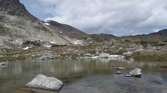
One of the few lovely tarns. Too bad the weather had turned overcast
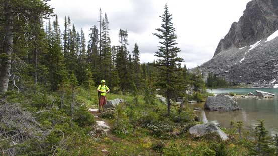
Down to Holy Lake now. We had little mood of lingering

Back to the parking lot.
Now came the driving part. It was quite fun coming down the rough Downton FSR and we actually stopped a few times for some photos and videos. Then onto the Duffey Lake Road and back through the Sea to Sky Corridor was as boring as it gets. I was again, mostly on the sleeping mode while Al did a great job getting us back home.
