Selah Butte
February 11, 2024
922m
Yakima, WA
The weather forecast for this past Sunday was horrible everywhere within “drivable range” so I was considering areas around Cache Creek again, but then I had just done quite a few trips out that way in the past couple months and I wasn’t keen on doing that exhausting drive again. I decided at the last minute to head south-east as I remembered looking at several small peaks in the vicinity of Yakima, Washington. A quick recheck on the forecasts revealed promising conditions. It would still be mostly cloudy but at least there wouldn’t be any form of precipitation. Kate was always interested in this kind of trips so we left White Rock at 7 am in the morning after having breakfast in her home. This would be considered a “late start” in my book but the weather was better on the second half of the day, and I needed those extra hours of sleep due to the exhausting climb of Pyroclastic Peak on Friday. Kate’s brand new Subaru Forester was the perfect type of vehicle for road trips that involved winter driving but not extensive riding on rough roads, so we would leave my Tacoma behind to save fuel. There were two notable peaks in that area. We would do the lower and less aesthetic Selah Butte first, to save Baldy for the late afternoon when the weather was supposed to be better.
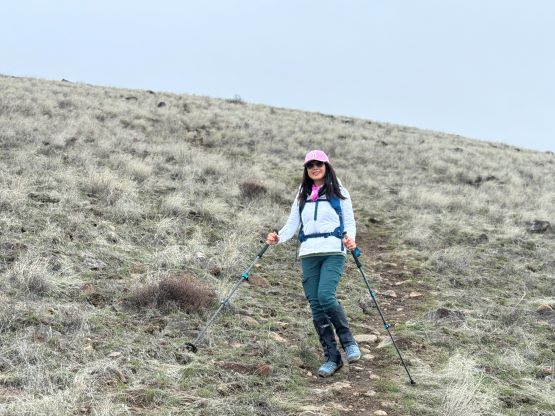
My apartment was on fire in the previous day and someone had been killed, so I was not allowed to go in to grab anything. Thankfully I always have my Nexus card in the wallet and these two peaks would not require travelling on snow. I borrowed some hiking cloths from Kate’s son and I was also wearing the hiking shoes normally in the city. I would not have a set of trekking poles but that’s okay. Kate and I took turn driving down south as I was still very tired. To my surprise it was raining (not snowing) at Snoqualmie Pass so this new round of precipitation was also a warm one. We made to Ellensburg and stopped in a Subway for some food before resuming the drive southwards into Yakima River canyon. This section was very scenic and had some Arizonian feels, and Kate was quite excited. I made Google to direct us straight to Selah Butte’s trail-head, which was basically just a small pull-out on the side of the road. There was already one vehicle parked there, so we wouldn’t be alone.

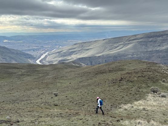
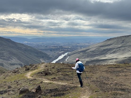
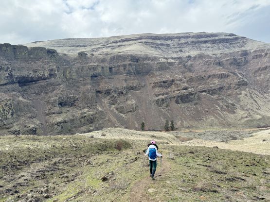
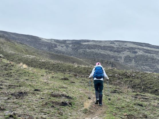
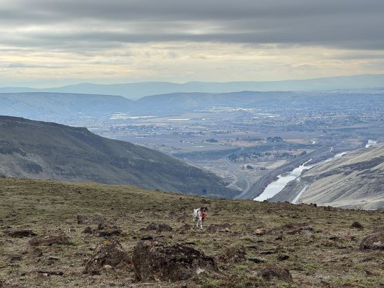
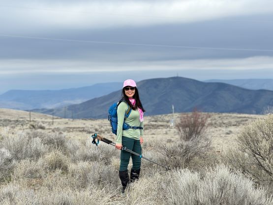
The start of this trail was actually a bit confusing but I had came prepared with a GPX track so we picked the smaller but steeper trail which was essentially a “short cut”. Higher up the trail was well defined and the views were actually good throughout the hike. We encountered a not-so-friendly pair of dogs and one of them was following us and was not on leash. I’ve been bitten twice by dogs while hiking/walking so nothing could be worse. The owners were very friendly though. The trail topped out on the upper plateau but that’s not the true summit. We had about a kilometer of cross-country travel to tag the highest point where the radio towers were. We utilized a combination of grass fields and service roads and did not encounter any private property issues.


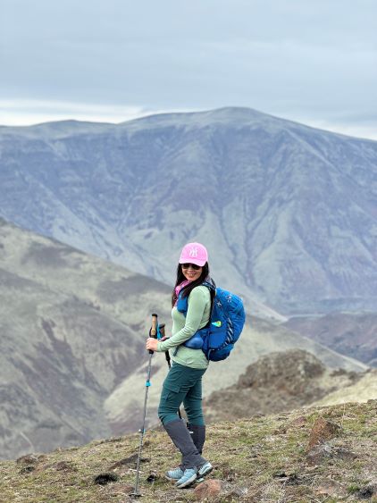
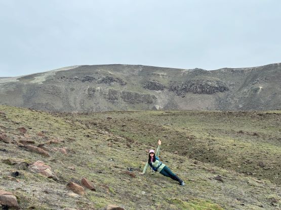


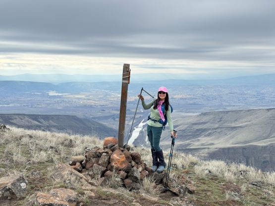


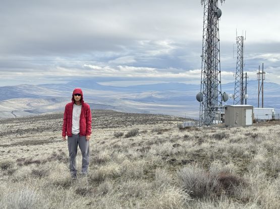
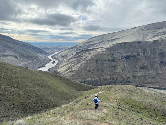
Due to the concern of high frequency radios on the true summit we did not linger any longer than needed. Instead, we made a quick dash back to the “false summit” and stopped for lunch. I had brought the Subway sandwich all the way up so I might as well put that in use. Kate then led us trail-running most of the way down. The descent was a wee bit faster than my comfortable pace, but we were hurrying up to do the second objective, so I did not complain.