Capitol Butte (Thunder Mountain)
March 14, 2017
1937m
Sedona, AZ
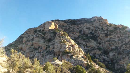
Capitol Butte, locally known as “Thunder Mountain”, may well be the “exception” in Sedona area. While elevation wise it’s one of the tallest peaks out there but unlike others such as Wilson Mountain or Munds Mountain, this is not just a forested mesa sticking out of the desert floor. Instead, it looms impressively in the backdrop of Sedona with shear cliffs on all sides. Speaking its mountaineering opportunities, numerous 3rd to 4th class routes lead to its broad summit with the easiest one being the “Lizard Head”, W-SW Ridge well documented in this article.
As a visitor from the far north I was not particularly keen on unnecessary challenges so the W-SW Ridge would be the route I took. On the 6th day of this spring break vacation I woke up at dawn in my car, drove back to “West Sedona” and had some quick breakfast in the McDonalds before driving back to Dry Creek Road.

Capitol Butte scramble route via SW Ridge. GPX DL
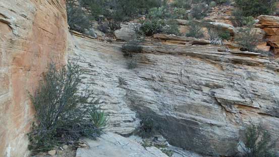
Instead of following Chris’ trip report I decided to do my own variation at the start. I parked at a pull-out right below the start of this long ridge and from here it was only about 5 minutes of off-trail travel to intersect the climber’s trail. This had proven to be a great short-cut which saved me at least 10 minutes each way. The trail then led me upwards following the lower spine to the base of the first cliff which was bypassed on climber’s left side. There were a few scrambling steps involved to cut back onto the ridge once that cliff tapered off.
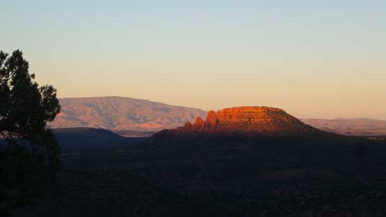
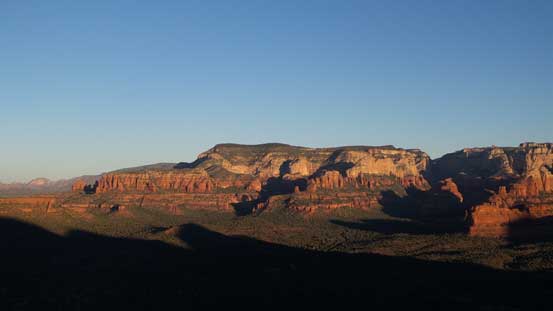
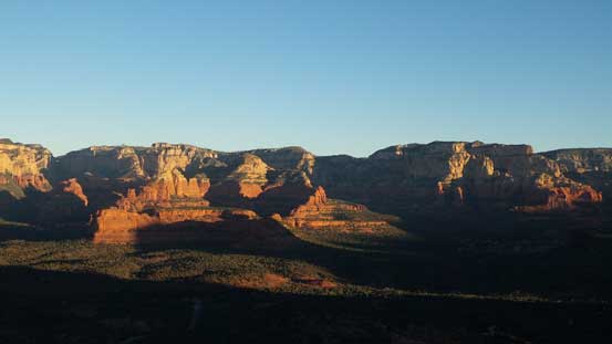
Morning alpenglow on the lowly The Cockscomb
Another picture showing The Cockscomb and the morning horizon
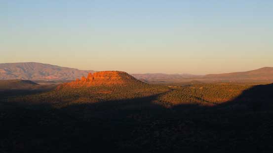
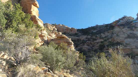
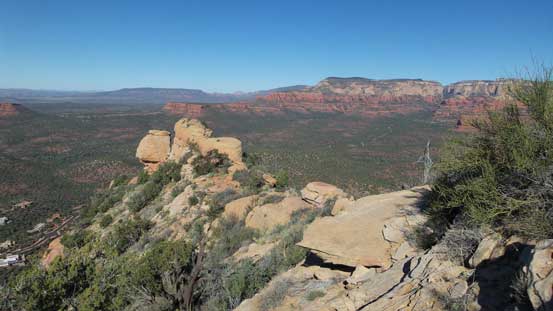
Looking ahead toward the lower cliffs
This is the first scrambling step
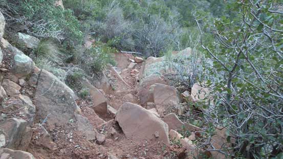
A few steeper sections along the lower trail
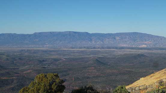
Bear Mountain
Long Canyon area and Secret Mountain

Looking sideways across the cliffs, Doe Mountain in the foreground
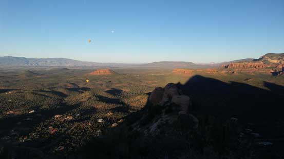
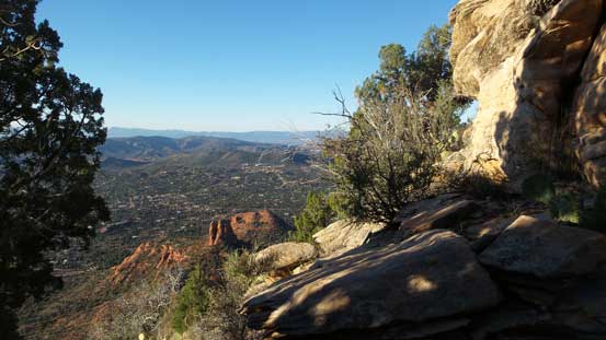
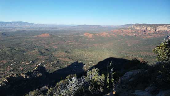
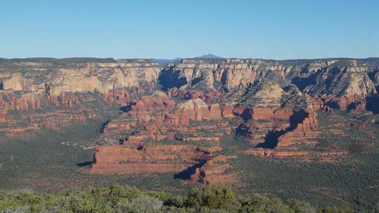
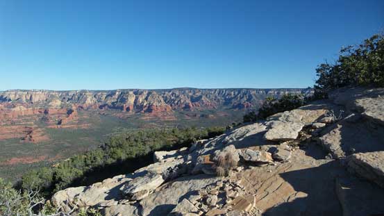
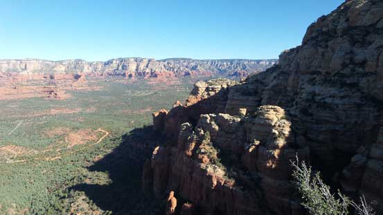
Rejoining the ridge revealed a more expansive vista of Sedona area

Chimney Rock in the foreground with peaks like Courthouse Butte behind
Scheurman Mountain and other lowly forested peaks to the south
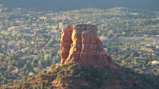
A zoomed-in view of Chimney Rock
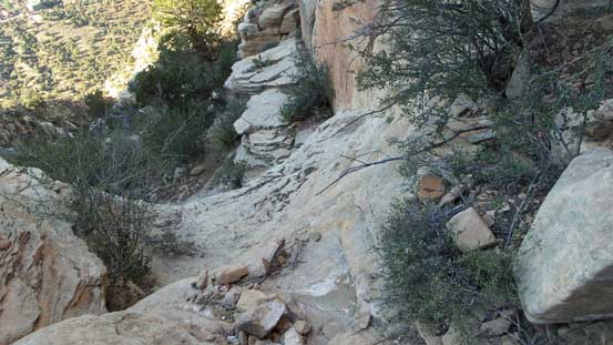
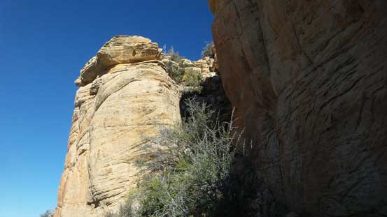
The trail was still pretty easy to follow up the “middle section” of this route. Near the obvious “false summit” the trail led me skirting around the base of it without too much of elevation loss/regain. Adventurous folks may want to scramble up and over this false peak just for more fun but on this particularly day all I wanted was to reach the top by the most efficient way. From the saddle with the main summit this route steepened dramatically and the frequent use of hands began. Not paying attention to the path I soon had to climb a few unnecessary, but fun 3rd class steps but soon after that I rejoined the path. The next major obstacle was a “dry waterfall” which I remembered from the reference. I opted to climb it for fun (3rd class) but once clearing the crux I knew I’d like to bypass it on the return thank to the down-sloping nature. My beaten-up La Sportiva Trango weren’t meant for slabby stuffs.
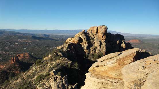
Looking ahead. The summit dome on left and the “false peak” on right.
Traversing below the false summit on the south side.
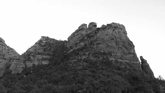
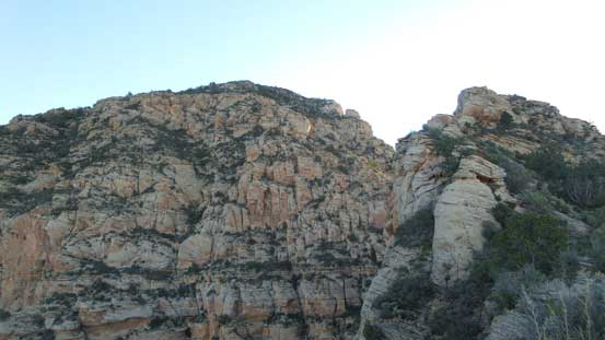
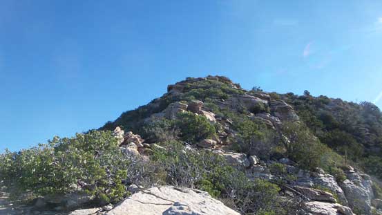
The terrain steepens ahead
This is the false/true summit saddle
One of the few trickier sections climbing out of the saddle
Looking back towards the false summit
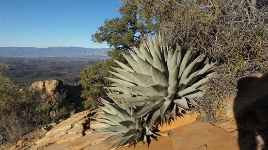
Some juicy agaves..
Looking up the route.
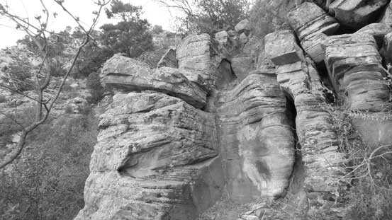
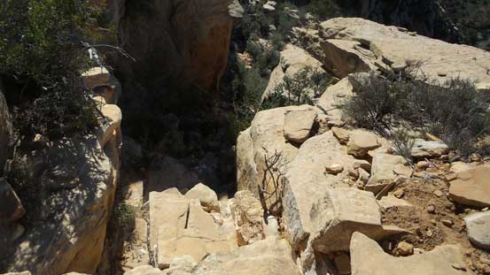
Arriving at the dry waterfall crux.
I took the challenge and climbed in, and this is looking down.
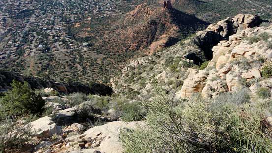
Back to the route the terrain gradually transitioned from 3rd class to mostly Class 1-2. There were a few more chimneys and steeps to ascend but nothing troublesome anymore, although to reach the summit there’s still substantial amount of elevation gain required. The trail/path led all the way to the top and the summit offers a nice bird eye perspective of the entire area. I took a long break before committing to the descent.
Higher up, this is just one view looking down.

The final push.
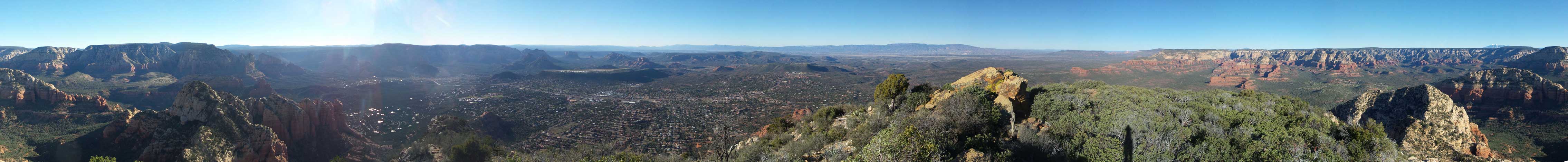
Summit Panorama from Capitol Butte. Click to view large size.
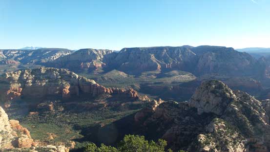
Looking towards Wilson Mountain with Brins Mesa area in front.
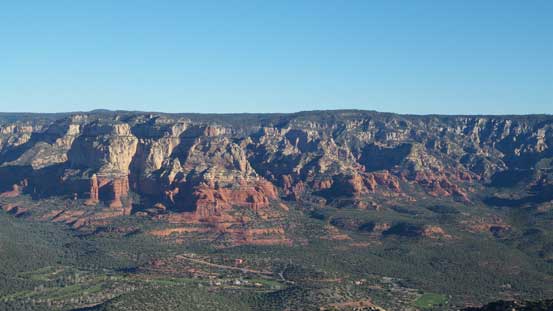
This is looking north towards some classic Sedona landscape
This is zooming-in towards Secret Mountain to the NW

Wilson Mountain in black-and-white
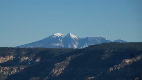
Could see the San Francisco Peaks near Flagstaff, AZ – Humphreys Peak being the tallest

Coffeepot Rock
Undulating forested ridges and rises looking south
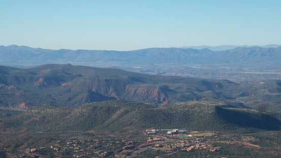
This is looking towards Cottonwood area which I didn’t get to visit in this trip

One more photo looking towards Boynton and Long Canyons and Secret Mountain
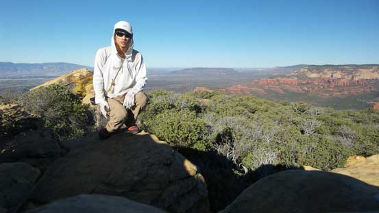
Me on the summit of Capitol Butte
There were branches heading down in all directions near the summit which created confusion, but with a GPS in my pocket it’s impossible to head too far away from my ascent trail. Soon enough I was back to those hands-on sections. This was on the descent so I just went with the easiest path which involved bypassing that waterfall pitch on down-climber’s left and then bypassing the lower 3rd class crux on again, down-climber’s left. The route would still be a “3rd class” but without much in terms of cruxy steps. I did not bother with any further lingering so once down to the saddle I instantly picked up the trail, traversed across the false peak and then dropped into the shades.
Time to head down.
A wider shot looking north.
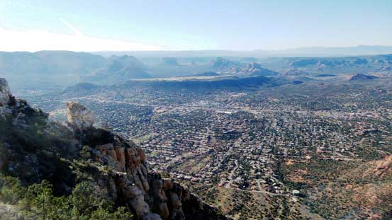
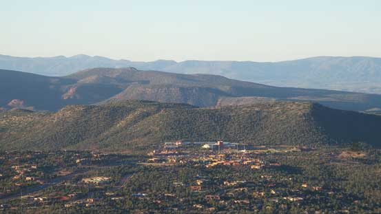
This gives a good perspective of the town of Sedona
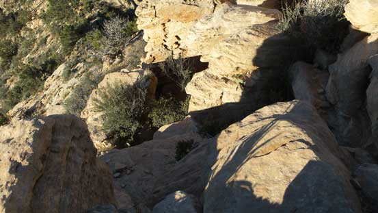
Entering a chimney
A review shot of this chimney. It’s pretty easy.
The terrain started to get steeper
You don’t want to touch them.

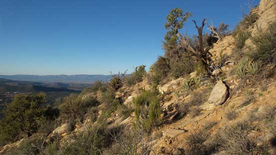
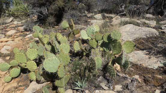
The typical vegetation and terrain…
Another shot looking north, from the lower ridge now.

Looking back towards the summit.
One last view before dropping into the shades on the north side of this lower ridge.
The rest of the descent back to the Dry Creek Road was uneventful and I managed to finish the trip by the mere 10 am. Parking on a random pull-out on the side of this road meant I no longer had to deal with that parking lot gong show which was a bonus. At this point I was still debating about my next objective and among Mescal Mountain, The Cockscomb and Brins Mesa I eventually decided to suck it up and go for the longest one. The Sun was mercilessly beating down onto the desert floor but I felt pretty strong on this day so I had to push it further.
