Mount Pickett
August 2, 2026
541m
Orcas Island, WA
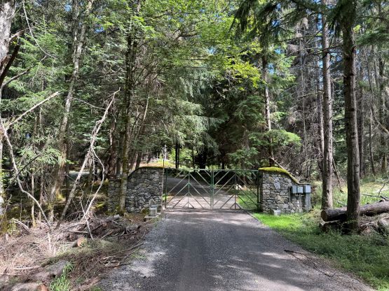
Mt. Pickett is somewhat tucked behind Mt. Constitution on the eastern reach of Orcas Island. This is also the 2nd highest peak on the island. The summit however, is completed forested and offers zero tourism interest. A well-maintained trail runs north-south across the summit area but the trail can only be legally accessed from the south side. The lower northern flanks below Twin Lakes are already developed for residential usage and there are gates, cameras and “no trespassing” signs. I of course, was not aware of that when planning this trip as at least one of my friends did Mt. Pickett from the north but didn’t mention anything about trespassing.
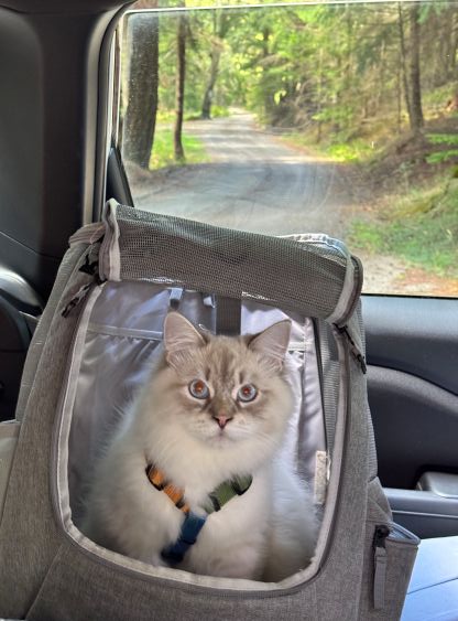
Part of me wanted to hike Mt. Pickett with Clair and Cheesecake but I opted for the Twin Lakes trail-head as it’s slightly shorter from that side. I then quickly discovered the private property issues in that neighbourhood that even the access road has now been gated. This would add a few kilometers of walking each way plus the issues of trespassing, so once again Clair and Cheesecake would have to wait for me in the vehicle. Even finding a legal spot to park in the vicinity of that gate was difficult and in the end I simply decided to not give a fuck and park next to someone’s driveway. I thought about the option to drive all the way around to the southern starting point but such would cost considerable amount of time and I also disliked the idea of backtracking.
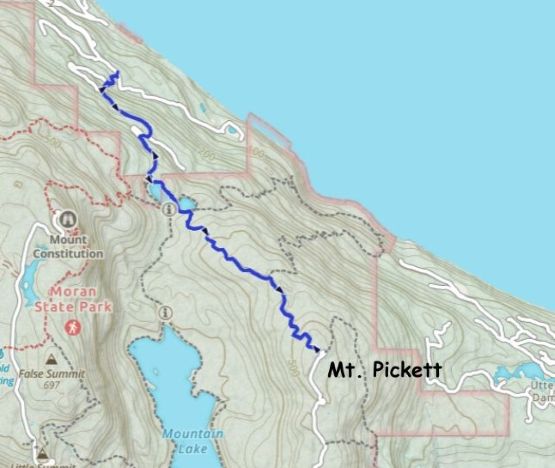
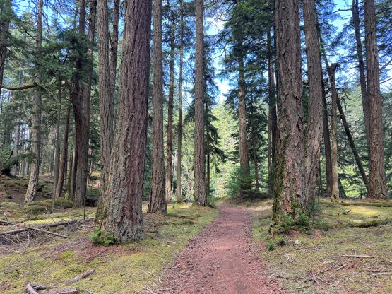
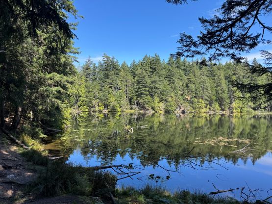
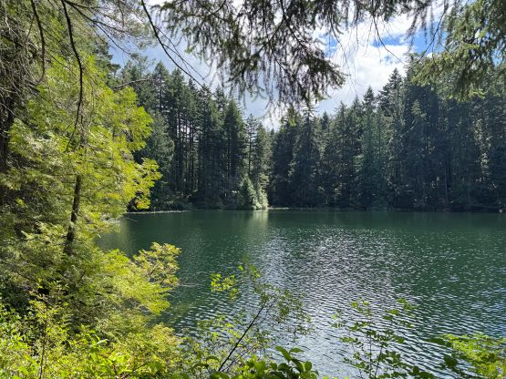
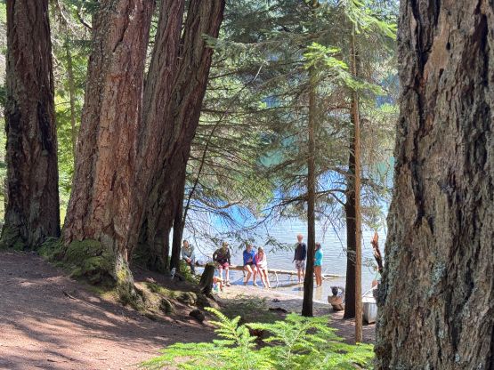
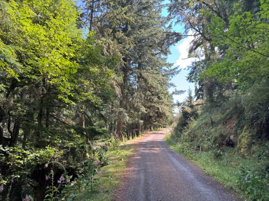
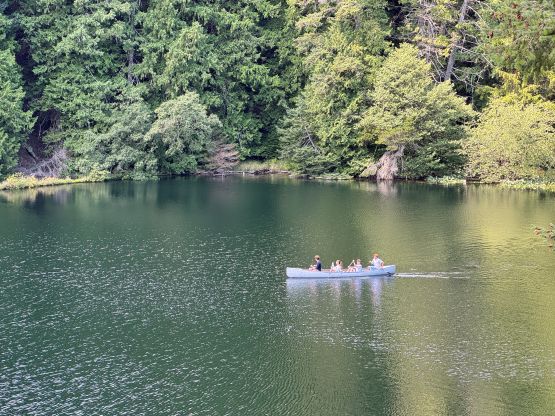
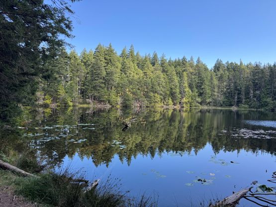
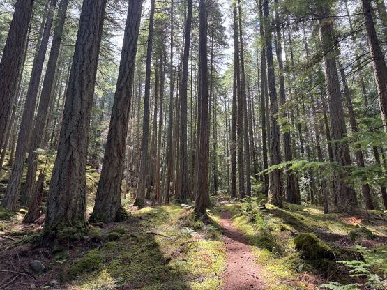
I plodded past the gate but instead of taking the big switchback I opted to bushwhack straight up the forest for 80 vertical meters. This would shave off at least 1 km of the plodding and also reduce the risks of being caught. I took another smaller short-cut higher up but at least 1.5 km of plodding on the road was unavoidable. Fortunately nobody was around when I walked my way up. I did encounter a large group of families camping and canoeing at Twin Lakes but I didn’t know if they were the locals or how did they get there. The trail past Twin Lakes was actually in some excellent conditions so there has to have another (legal) access point, but I was too lazy to figure that out. The plodding to the summit took a while as the grade was very gradual. To reach the true summit I had to leave the trail briefly but the bushwhacking was minimal.
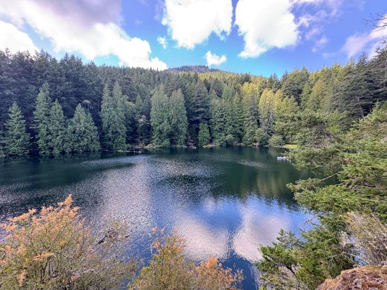
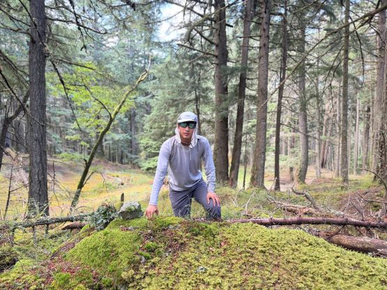
After taking an obligatory victory shot I quickly dashed back down the trail. In no time I was back at Twin Lakes. That family was still there so I didn’t fuss too much around there. I had to regain some elevation to get back to Twin Lakes Road and then dashed down to the vehicle following my own route. I took those short-cuts on the descent as well for the simple reason of why-not. My round trip time was just over 2 hours. We quickly drove away towards the next objective which not to my surprise, also required trespassing.